© Ferienregion Andermatt - Andermatt-Urserntal Tourismus GmbH

© Ferienregion Andermatt - Andermatt-Urserntal Tourismus GmbH
© André Meier
© André Meier

© Ferienregion Andermatt - Andermatt-Urserntal Tourismus GmbH

© Ferienregion Andermatt - Andermatt-Urserntal Tourismus GmbH

© Ferienregion Andermatt - Andermatt-Urserntal Tourismus GmbH

© Ferienregion Andermatt - Andermatt-Urserntal Tourismus GmbH

- Kratak opis
-
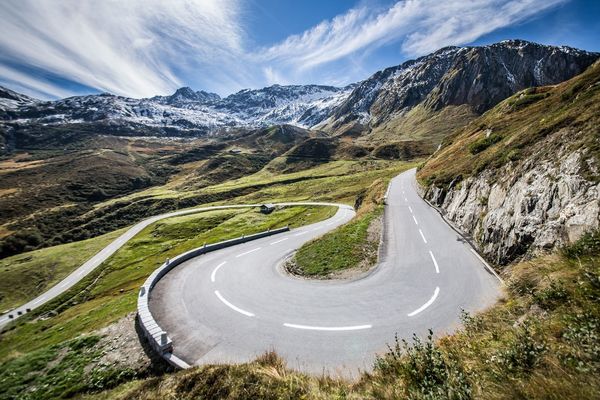
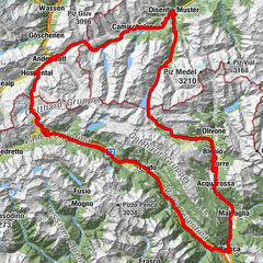
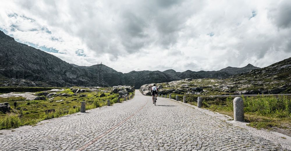
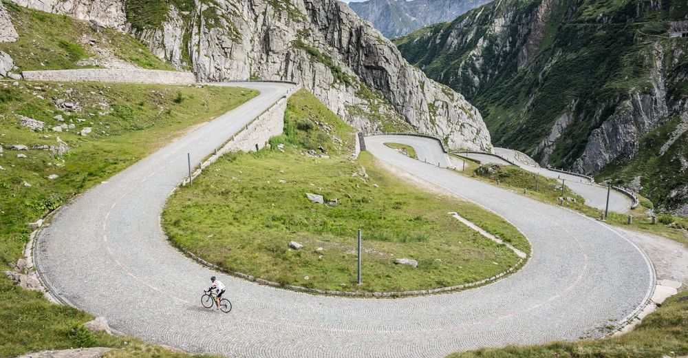
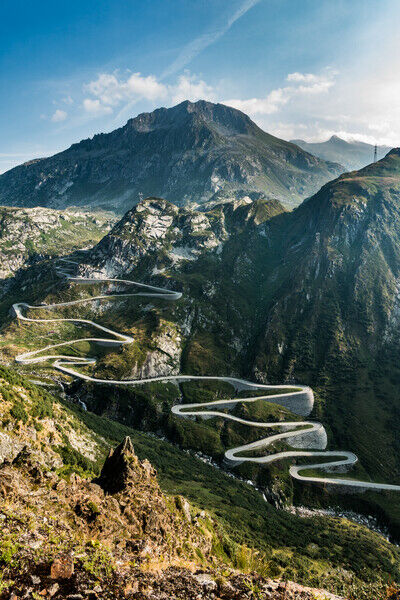
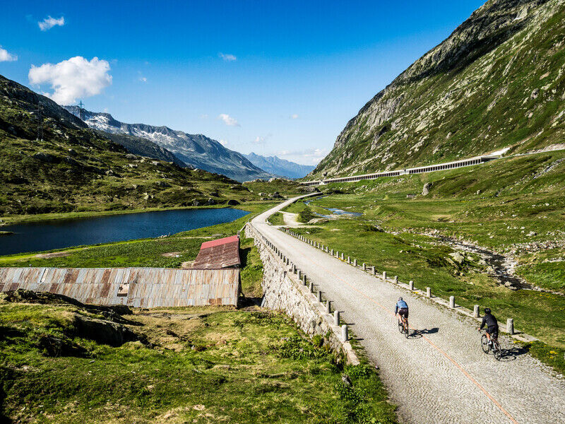
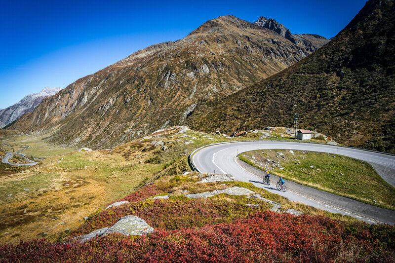
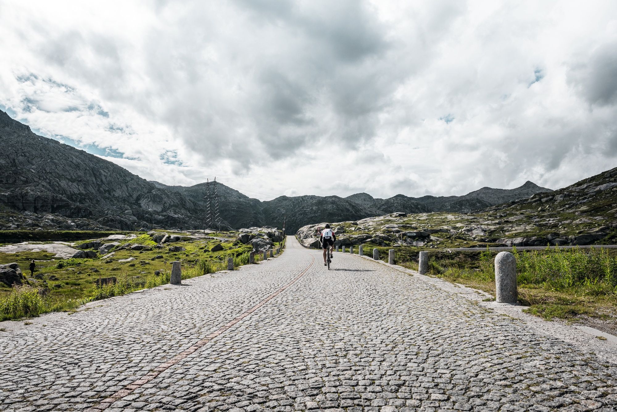
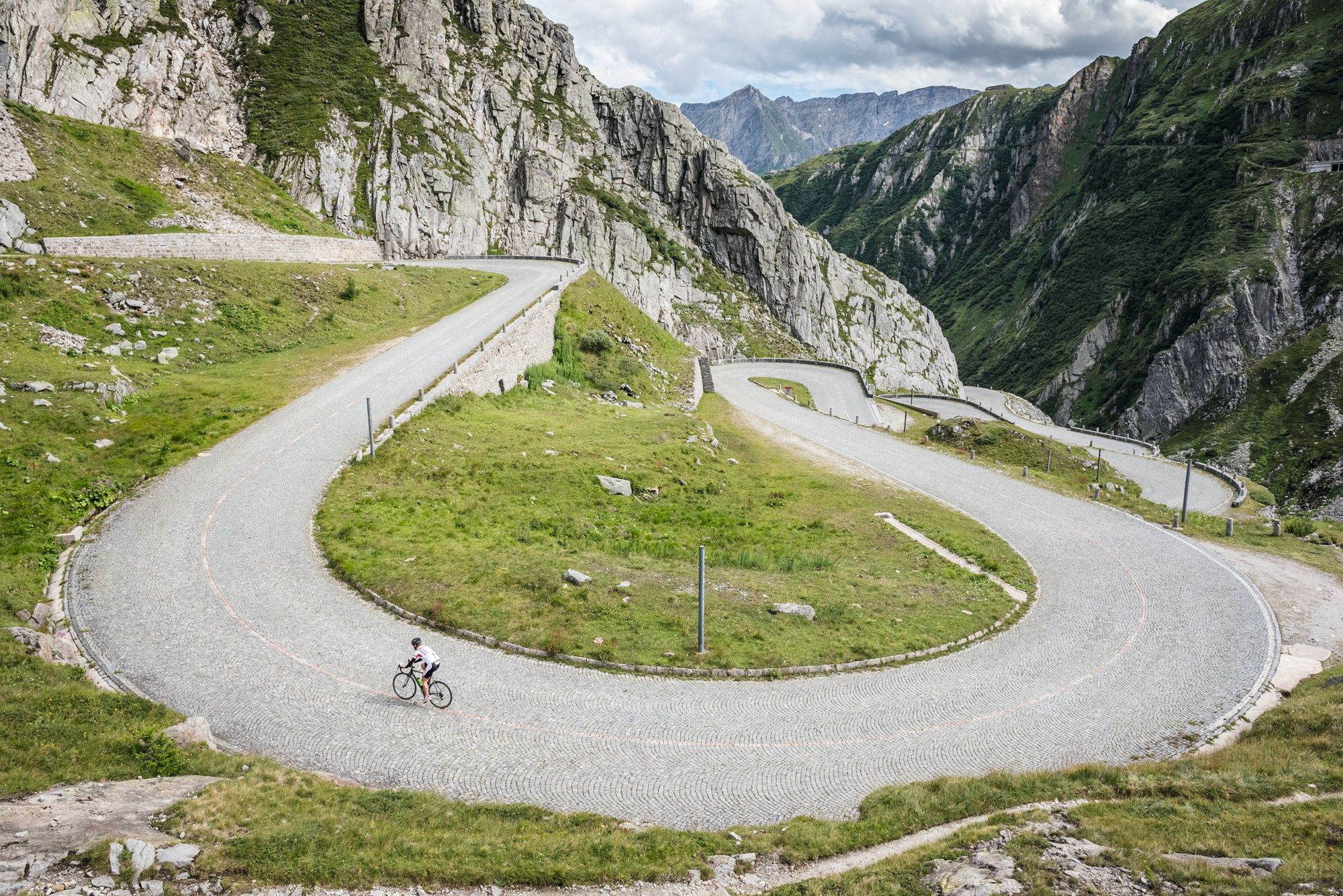
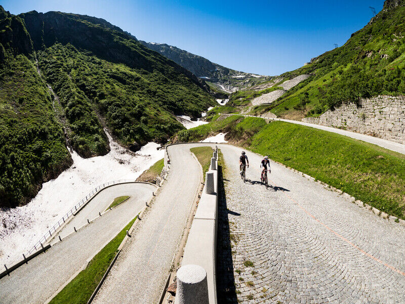
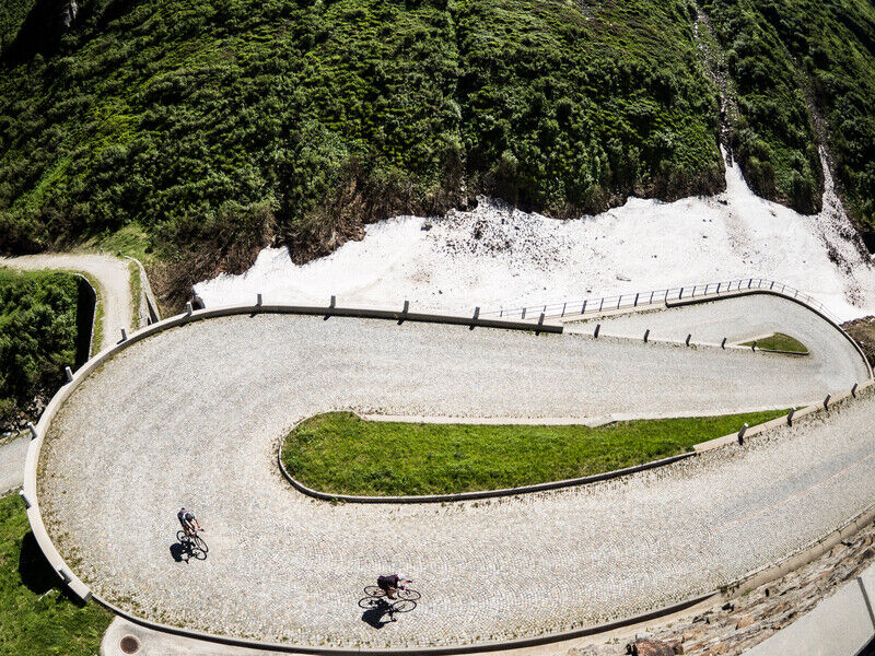
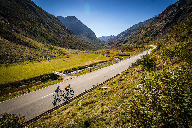
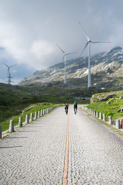
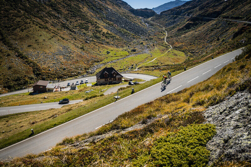
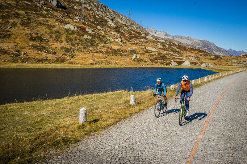
Mit eigener Muskelkraft den Gotthardpass (2091 m ü. M.) bezwingen und sich beim Hinunterfahren den Fahrtwind um die Ohren pfeifen lassen: Für RennvelofahrerInnen ein Highlight.
- Teškoća
-
srednje
- Vrednovanje
-
- Wegverlauf
-
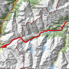
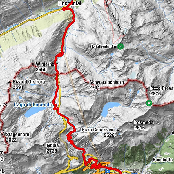
BahnhofgebäudeHospental (1.452 m)Himmelbiel0,2 kmKath. Kirche Mariä Himmelfahrt0,2 kmHospental (1.493 m)0,3 kmSpeiserestaurant zum Turm0,3 kmBurg0,3 kmGüetli0,4 kmObergadmen0,5 kmCentral0,5 kmMätteli4,5 kmGotthardpass 2106m9,5 kmAlte Sust10,1 kmOspizio del San Gottardo (2.091 m)10,1 kmScuderia10,1 kmSan Gottardo10,2 kmTramiòra13,0 kmMotto Bartola17,7 kmScima du Bòsc'17,8 kmSan Carlo21,7 kmAirolo (1.175 m)22,2 kmAirolo (1.142 m)22,3 km
- Beste Jahreszeit
-
sijveljožutrasvilipsrpkolrujlisstupro
- Höchster Punkt
- 2.103 m
- Zielpunkt
-
Bahnhof Airolo
- Höhenprofil
-
 © outdooractive.com
- Autor
-
Die Tour Gotthardpass: Hospental - Airolo wird von outdooractive.com bereitgestellt.
GPS Downloads


Opće informacije
Einkehrmöglichkeit
Kulturell/Historisch
Flora
Fauna
Aussichtsreich