© Engelberg-Titlis Tourismus - Engelberg - Titlis Tourismus

© Engelberg-Titlis Tourismus - Engelberg - Titlis Tourismus

© Engelberg-Titlis Tourismus - Engelberg - Titlis Tourismus

© Engelberg-Titlis Tourismus - Engelberg - Titlis Tourismus

© Engelberg-Titlis Tourismus - Engelberg - Titlis Tourismus

© Engelberg-Titlis Tourismus - Engelberg - Titlis Tourismus

© Engelberg-Titlis Tourismus - Engelberg - Titlis Tourismus

© Engelberg-Titlis Tourismus - Engelberg - Titlis Tourismus

© Engelberg-Titlis Tourismus - Engelberg - Titlis Tourismus

© Engelberg-Titlis Tourismus - Engelberg - Titlis Tourismus

- Kratak opis
-
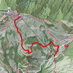
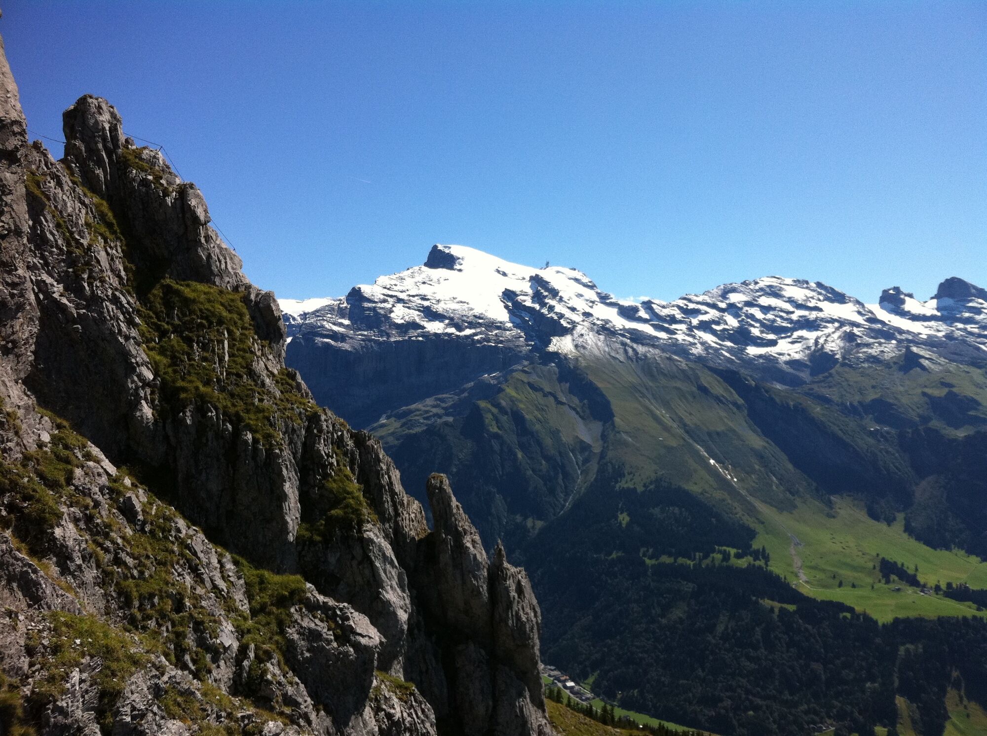
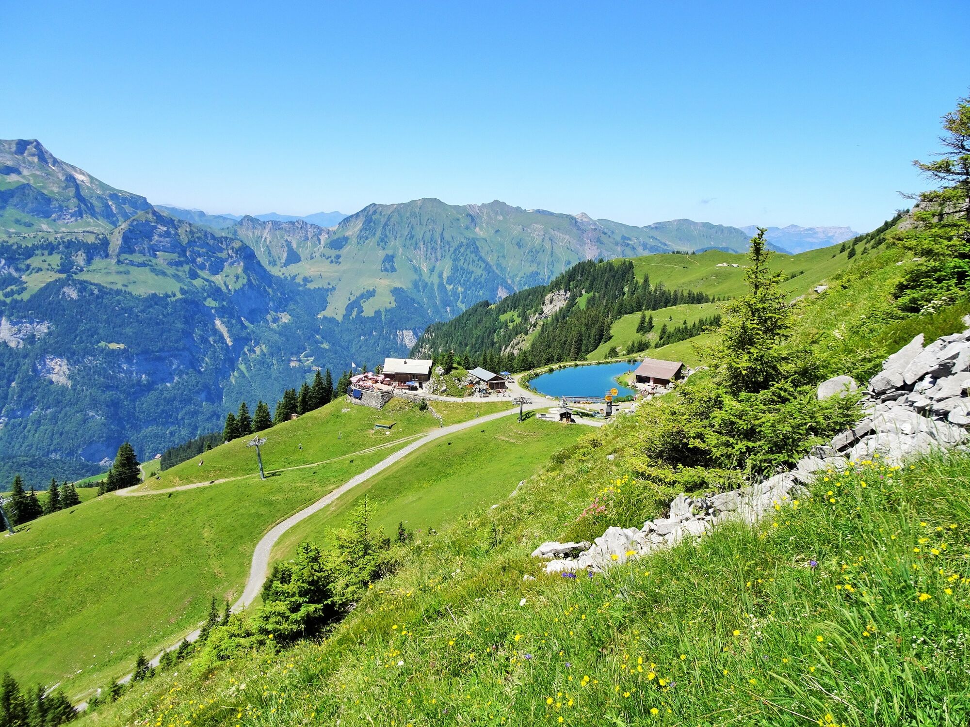
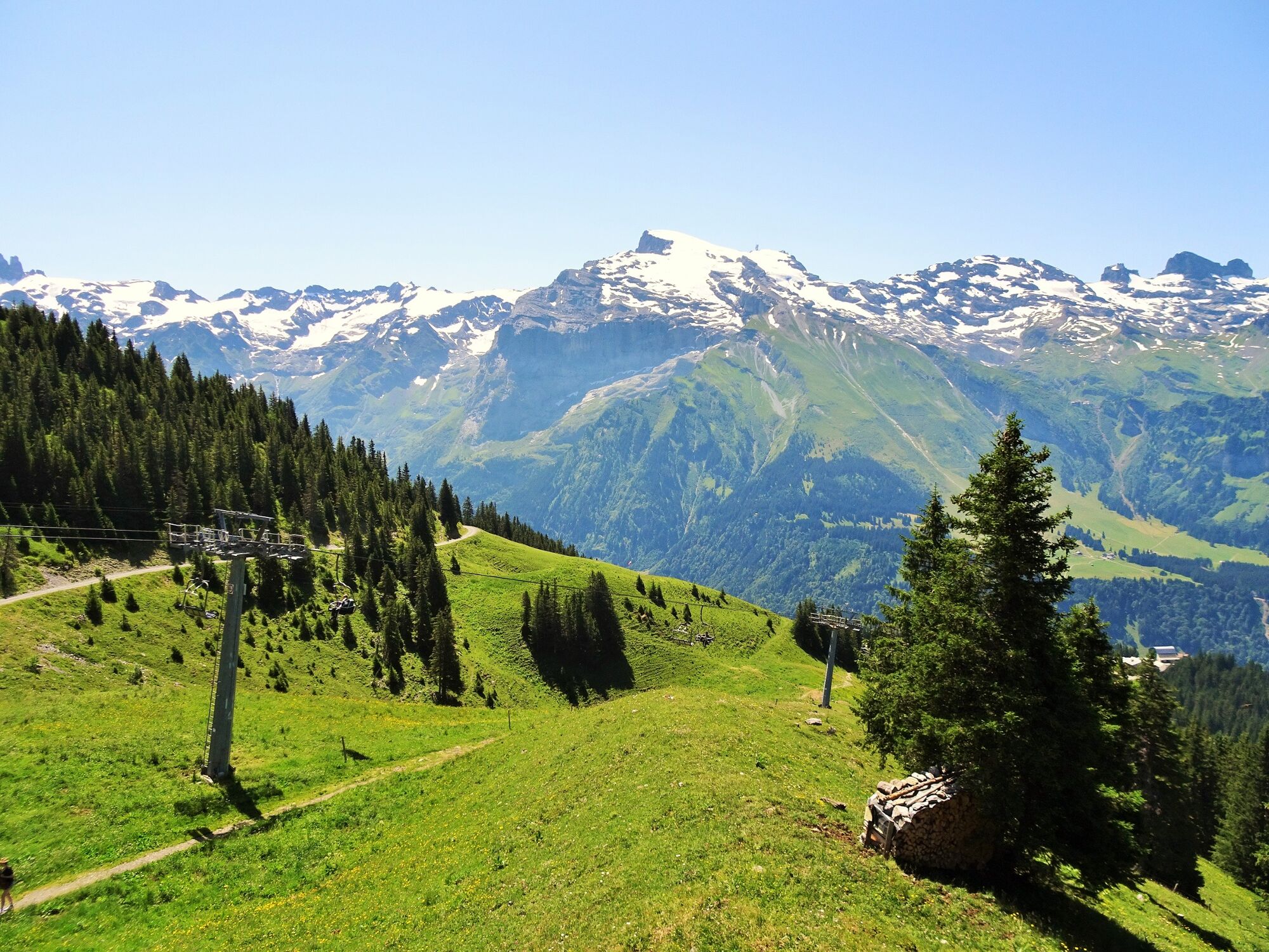
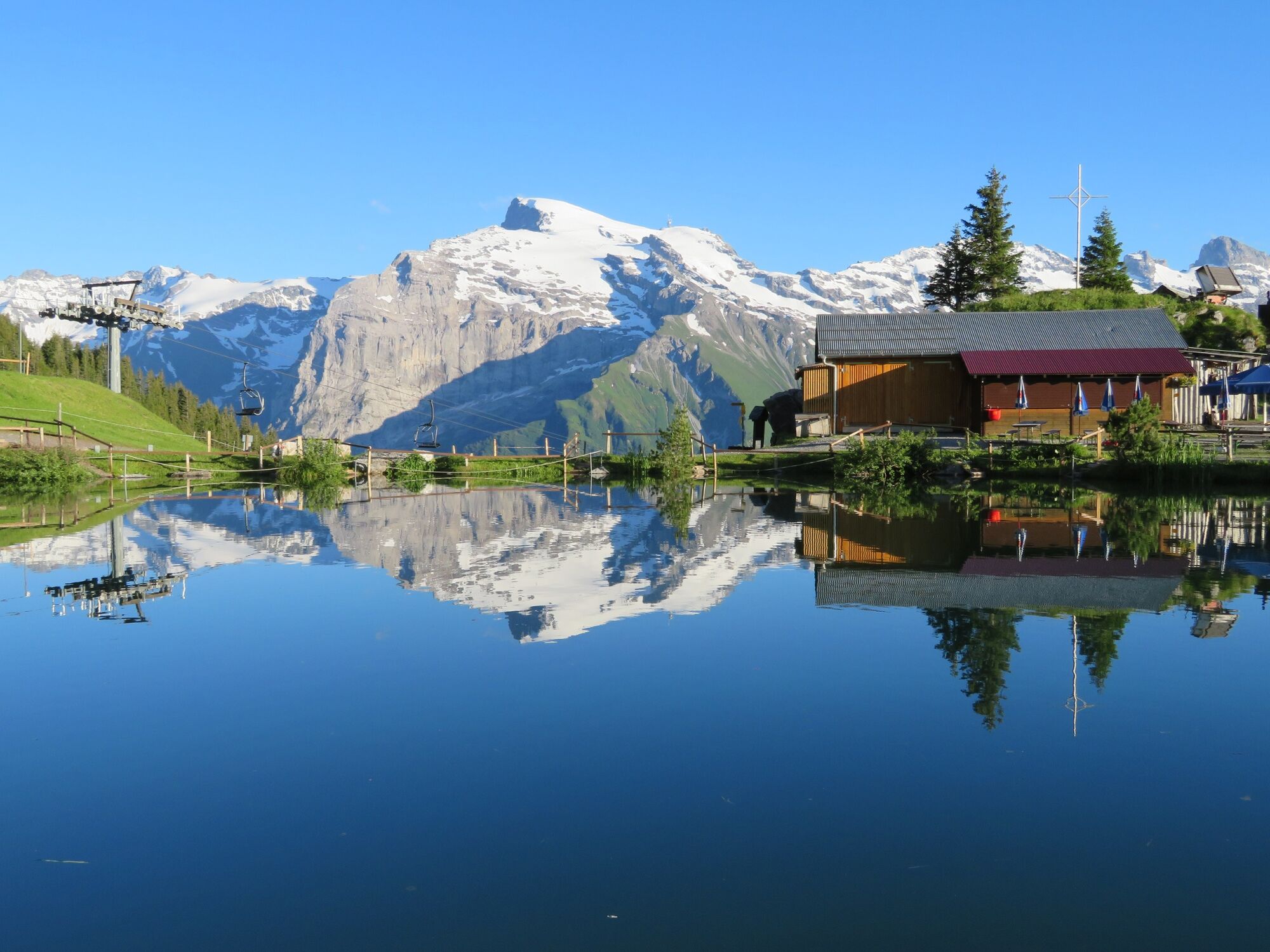
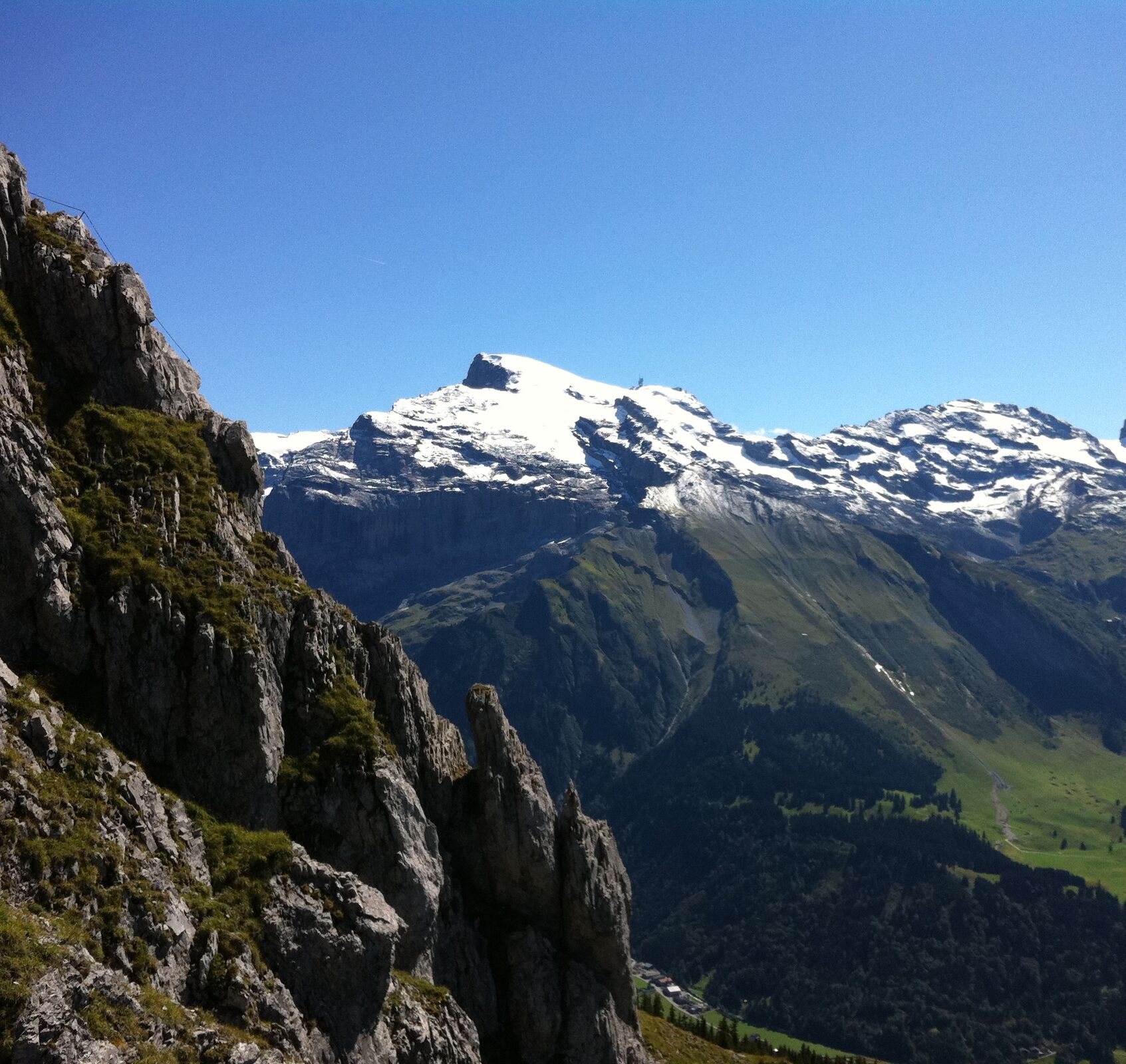
The Brunni Trail panoramic round walk is an educational trail through flowering alp pastures that offers unique views of the Titlis and surrounding peaks. This family-friendly walk can be completed a variety of ways.
- Teškoća
-
lagano
- Vrednovanje
-
- Wegverlauf
-
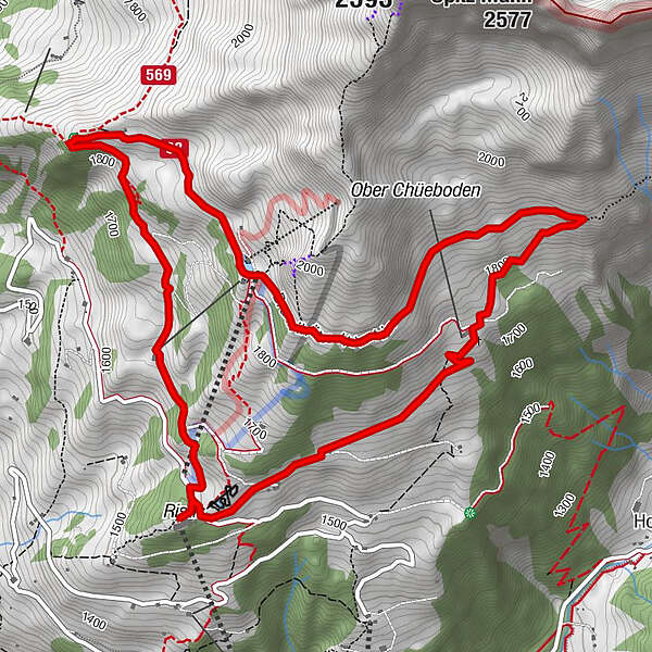
RistisBergrestaurant Ristis0,0 kmÄlplerbeizli Rigidalstafel1,7 kmBrunnihütte SAC4,2 kmTalstation Hüttismatt6,4 kmBergrestaurant Ristis7,2 kmRistis7,3 km
- Beste Jahreszeit
-
sijveljožutrasvilipsrpkolrujlisstupro
- Höchster Punkt
- 1.886 m
- Zielpunkt
-
Ristis
- Höhenprofil
-
 © outdooractive.com


-

-
AutorDie Tour Brunni Trail wird von outdooractive.com bereitgestellt.
GPS Downloads


Opće informacije
Einkehrmöglichkeit
Weitere Touren in den Regionen