© Engelberg-Titlis Tourismus - Engelberg - Titlis Tourismus

© Engelberg-Titlis Tourismus - Engelberg - Titlis Tourismus

© Engelberg-Titlis Tourismus - Engelberg - Titlis Tourismus

© Engelberg-Titlis Tourismus - Engelberg - Titlis Tourismus

© Engelberg-Titlis Tourismus - Engelberg - Titlis Tourismus

© Engelberg-Titlis Tourismus - Engelberg - Titlis Tourismus

© Engelberg-Titlis Tourismus - Engelberg - Titlis Tourismus

© Engelberg-Titlis Tourismus - Engelberg - Titlis Tourismus

- Kratak opis
-
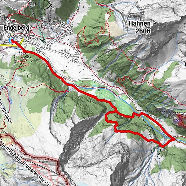
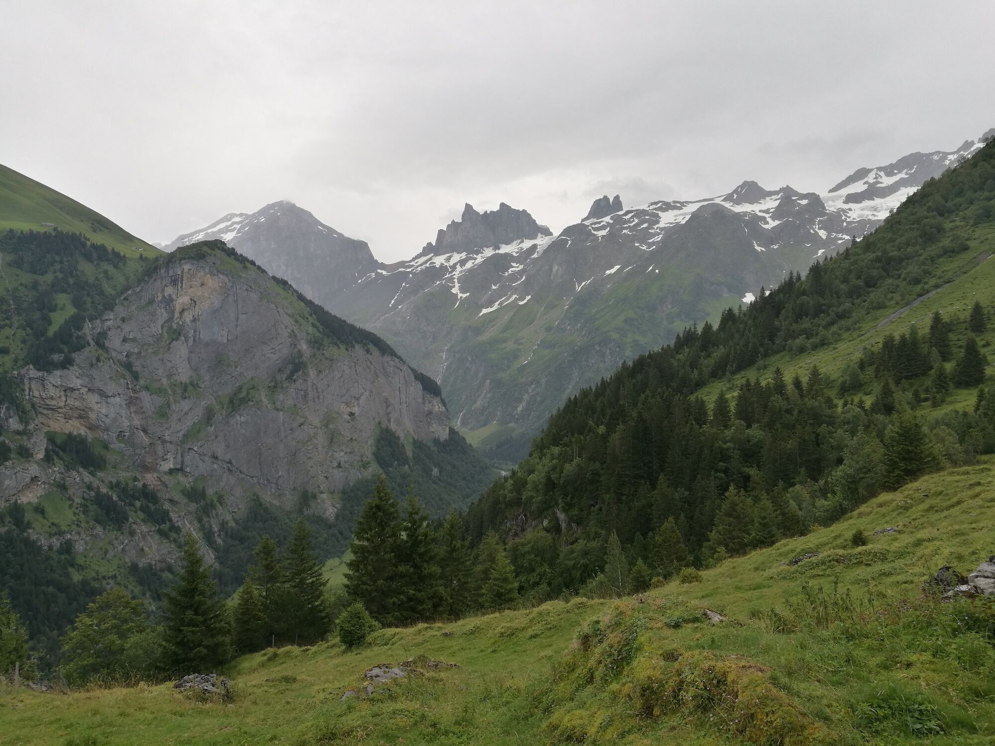
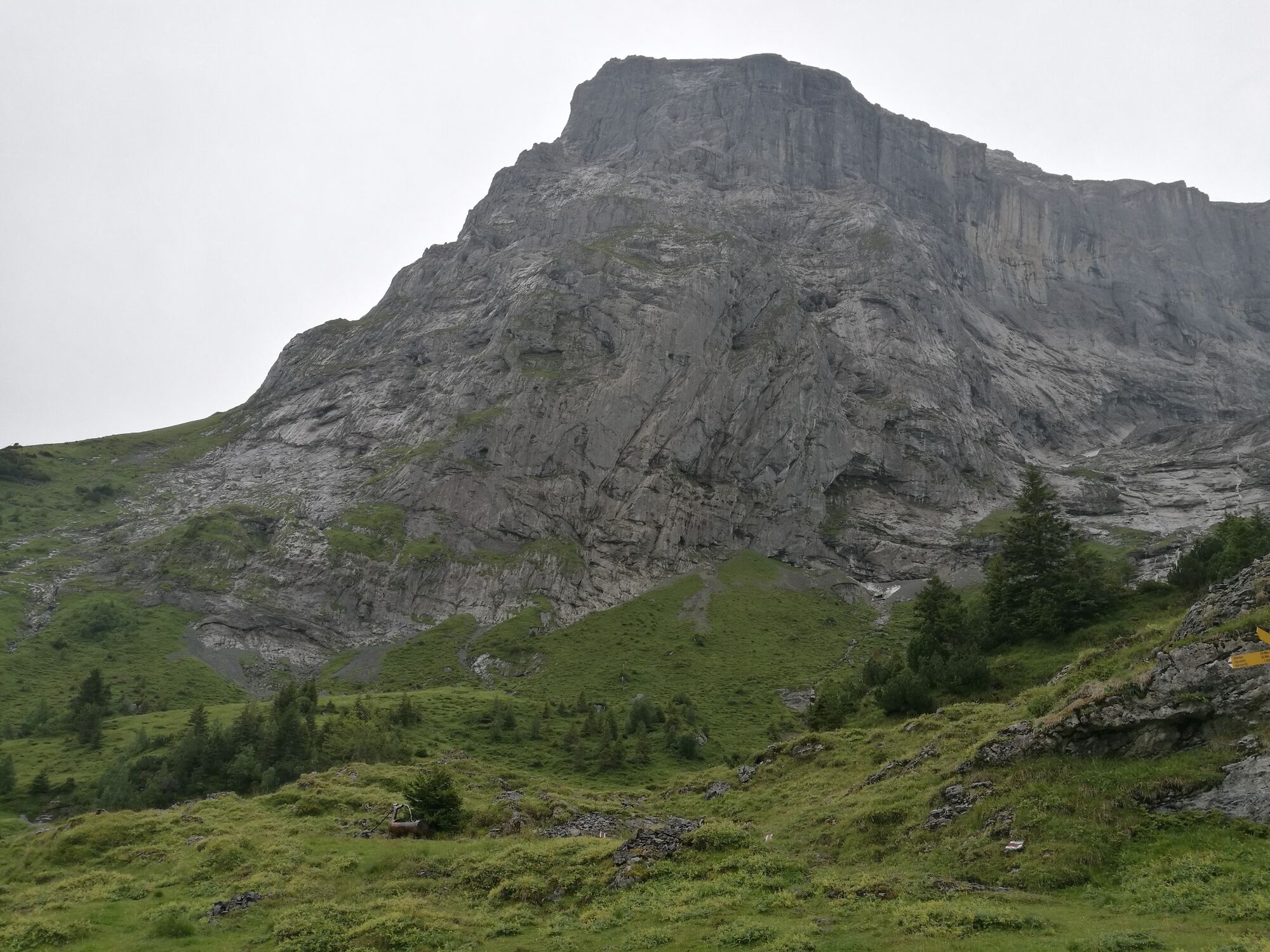
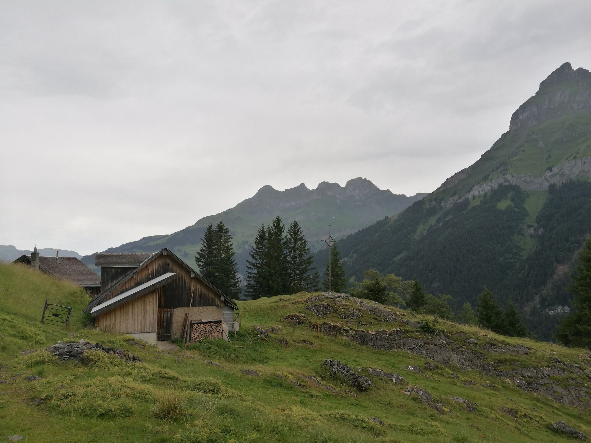
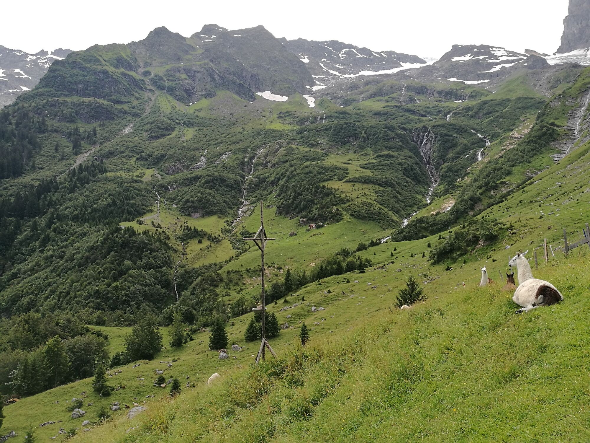
The Hohfad hike offers a lot of untouched nature and even more views. After the steep ascent we recommend a swim in the Hundsbach and a souvenir photo high above Engelberg. Passing by the alp Bödmen the easier descent leads back into the valley.
- Wegverlauf
-
Engelberg (1.000 m)Hohfad (1.440 m)4,9 kmBergstation Bödmen6,3 kmTalstation Herrenrüti7,5 kmEngelberg (1.002 m)13,1 km
- Beste Jahreszeit
-
sijveljožutrasvilipsrpkolrujlisstupro
- Höchster Punkt
- 1.445 m
- Zielpunkt
-
Engelberg train station
- Höhenprofil
-
 © outdooractive.com


-

-
AutorDie Tour Hohfadweg wird von outdooractive.com bereitgestellt.
GPS Downloads


Opće informacije
Einkehrmöglichkeit
Weitere Touren in den Regionen