© Unbekannt - Ybrig Tourismus

© Unbekannt - Ybrig Tourismus

© Unbekannt - Ybrig Tourismus

- Kratak opis
-
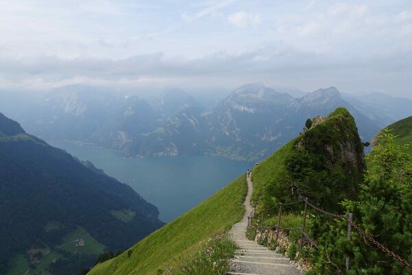
A four-hour hike with a magnificent panoramic view at Spital 1574 m above sea level. Most of thee time you walk on forest soil and gravel roads.
- Teškoća
-
lagano
- Vrednovanje
-
- Wegverlauf
-
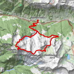
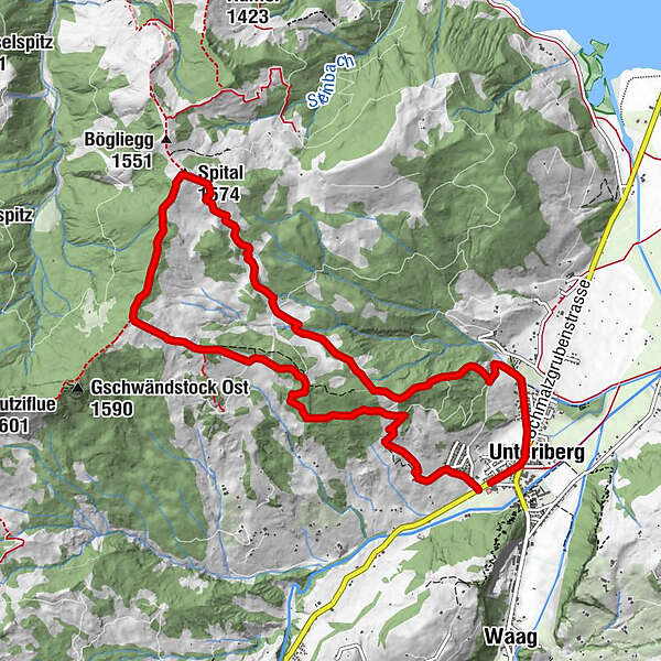
Unteriberg0,4 kmSpital (1.574 m)5,3 kmRegenegg (1.530 m)6,6 kmHoch Gütsch9,8 km
- Beste Jahreszeit
-
sijveljožutrasvilipsrpkolrujlisstupro
- Höchster Punkt
- 1.567 m
- Zielpunkt
-
Unteriberg, Guggelsstrasse
- Höhenprofil
-
 © outdooractive.com


- Autor
-
Die Tour Unteriberg, circular hike Spital-Regenegg wird von outdooractive.com bereitgestellt.
GPS Downloads


Opće informacije
Einkehrmöglichkeit
Aussichtsreich
Weitere Touren in den Regionen
-
Schwyz
1748
-
Einsiedeln-Ybrig-Zürichsee
867
-
Unteriberg
246