- Kratak opis
-
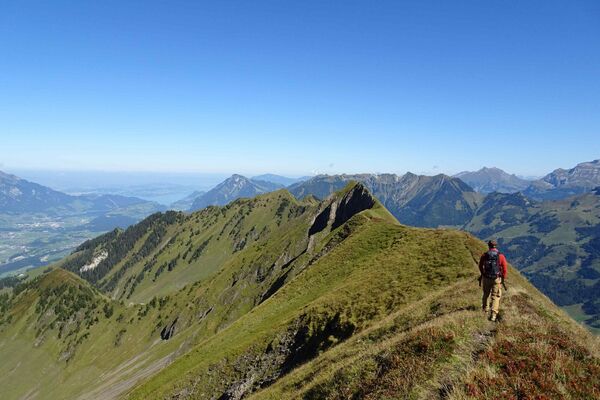
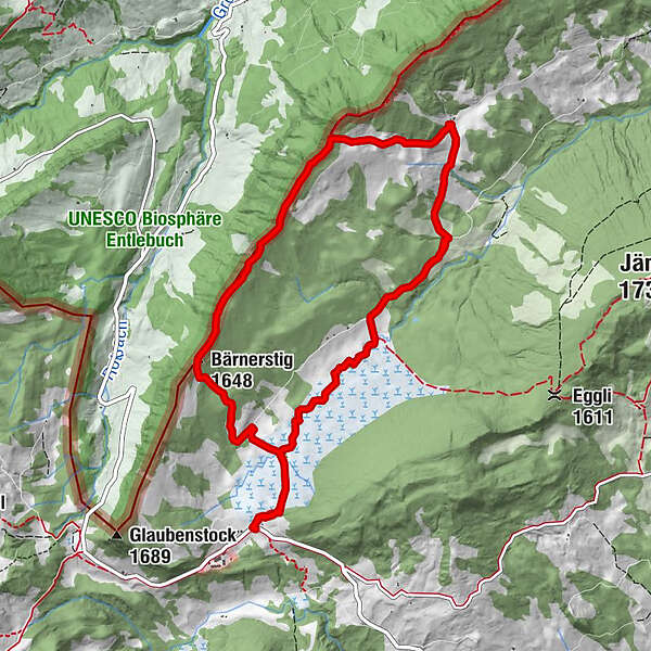
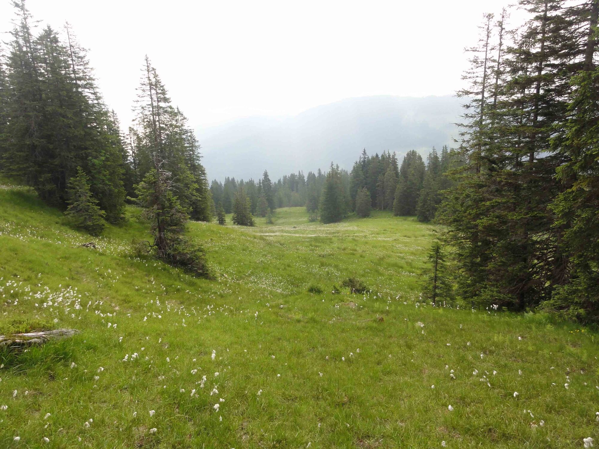
This wonderful round walk in the largest continuous stretch of moorland in Switzerland is notable for its views and the diversity of its flora.
- Teškoća
-
srednje
- Vrednovanje
-
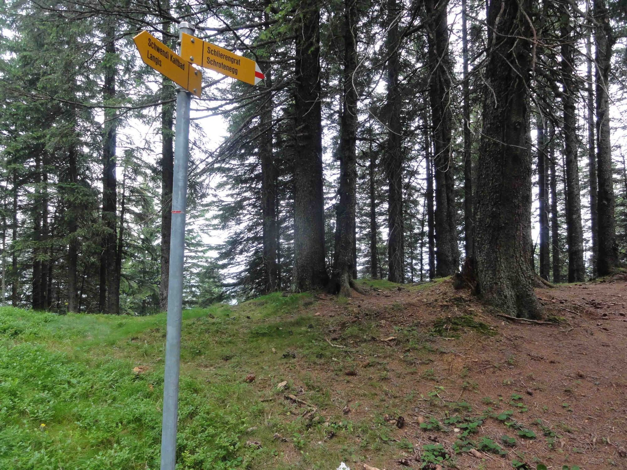
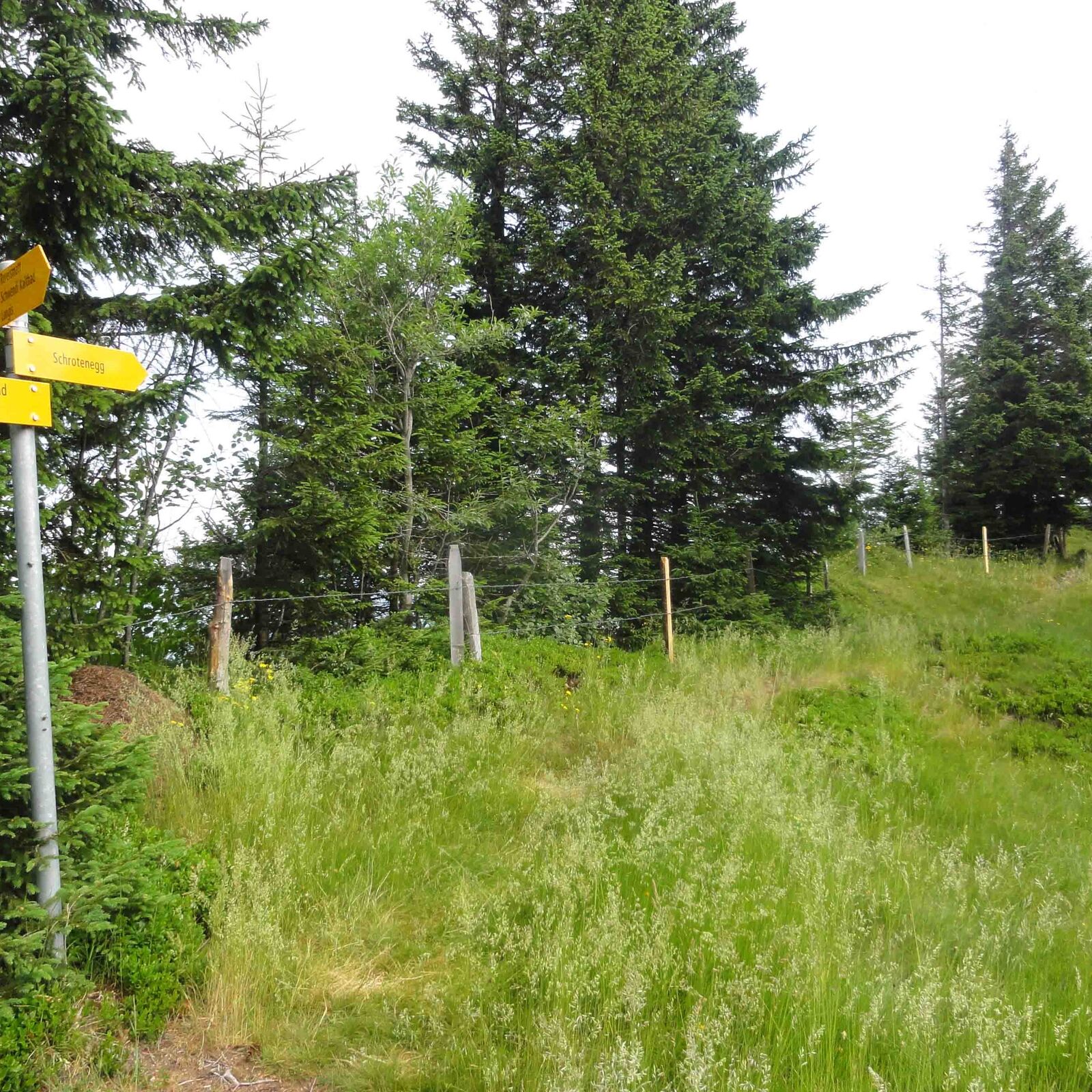
- Wegverlauf
-
Langis (1.442 m)0,0 kmBerghotel Langis0,1 kmBergrestaurant Schwendi-Kaltbad0,6 kmSchwendi Kaltbad0,7 kmAndresenhütte1,2 kmBärnerstig (1.648 m)2,2 kmInfo-Tafel Borstgrasbinsenweide8,0 kmInfo-Tafel Alkaid8,2 kmInfo-Tafel Bergföhren9,0 kmDer Frauenverein9,3 kmBergrestaurant Schwendi-Kaltbad9,6 kmSchwendi Kaltbad9,6 kmBerghotel Langis10,3 kmLangis (1.442 m)10,3 km
- Beste Jahreszeit
-
sijveljožutrasvilipsrpkolrujlisstupro
- Höchster Punkt
- 1.715 m
- Zielpunkt
-
Restaurant Langis
- Höhenprofil
-
 © outdooractive.com
-

-
AutorDie Tour Over the Schlierengrat wird von outdooractive.com bereitgestellt.
GPS Downloads


Weitere Touren in den Regionen
-
Obwalden
2029
-
UNESCO Biosphäre Entlebuch
633
-
Giswil
231