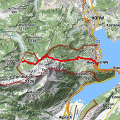
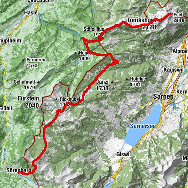
Multi-day hike from Pilatus Kulm via the Mittaggüpfi to Sörenberg


© Region Luzern-Vierwaldstättersee - Beat Brechbühl / Luzern Tourismus

© Region Luzern-Vierwaldstättersee - Beat Brechbühl / Luzern Tourismus

© Region Luzern-Vierwaldstättersee - Ivo Scholz / Schweiz Tourismus

© Region Luzern-Vierwaldstättersee - Jan Geerk / Schweiz Tourismus

- Kratak opis
-
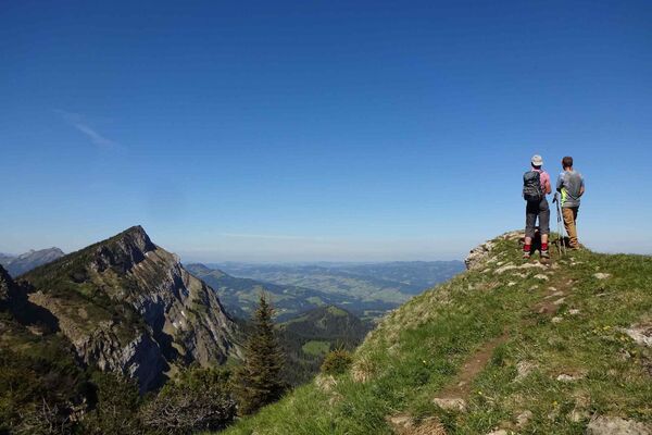
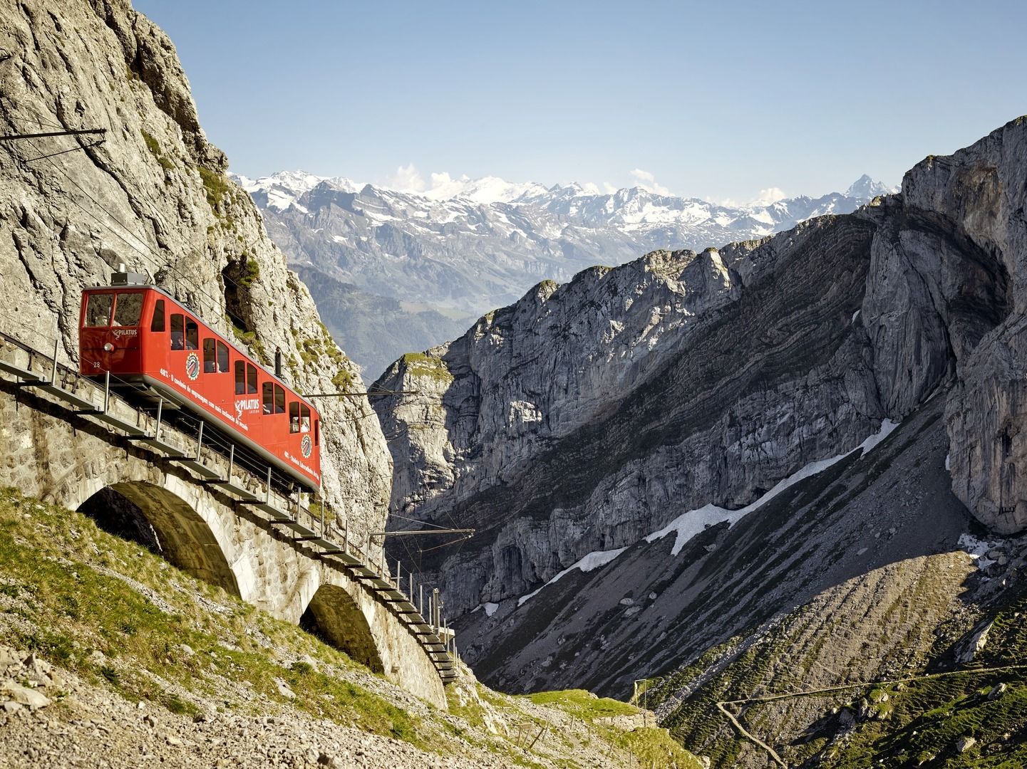
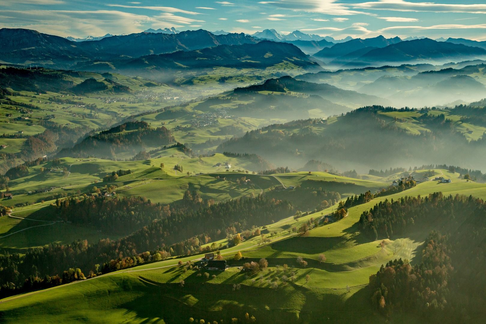
You begin the multi-day hike with a spectacular panoramic view of Lake Lucerne and the Lucerne central plateau. You then head towards the mountains of Central Switzerland and the Bernese Alps.
- Teškoća
-
teška
- Vrednovanje
-
- Wegverlauf
-
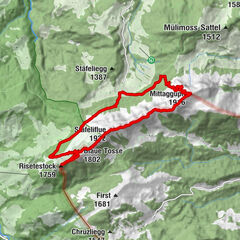
Pilatus Kulm (2.132 m)Oberhaupt (2.106 m)0,1 kmTomlishorn (2.128 m)1,4 kmGemsmättli2,4 kmRot Dossen (1.777 m)4,8 kmMittaggüpfi (1.916 m)6,4 kmTripolihütte7,4 kmStäfeliflue (1.922 m)8,5 kmBlaue Tosse (1.802 m)9,4 kmGfellen13,3 kmLauenberg17,6 kmSchrotenegg (1.612 m)18,1 kmLochalp22,6 kmInfo-Tafel Borstgrasbinsenweide25,5 kmInfo-Tafel Alkaid25,7 kmInfo-Tafel Bergföhren26,5 kmDer Frauenverein26,8 kmBergrestaurant Schwendi-Kaltbad27,1 kmSchwendi Kaltbad27,1 kmBerghotel Langis27,8 kmLangis (1.442 m)27,9 kmSattelpass (1.585 m)34,5 kmBärenturm (1.798 m)35,0 kmHaldimattstock (1.792 m)37,4 kmNünalpstock (1.900 m)39,5 kmSörenberg43,1 km
- Beste Jahreszeit
-
sijveljožutrasvilipsrpkolrujlisstupro
- Höchster Punkt
- 2.090 m
- Zielpunkt
-
Sörenberg
- Höhenprofil
-
 © outdooractive.com


-

-
AutorDie Tour Multi-day hike from Pilatus Kulm via the Mittaggüpfi to Sörenberg wird von outdooractive.com bereitgestellt.
GPS Downloads


Opće informacije
Aussichtsreich
Weitere Touren in den Regionen
-
Obwalden
2014
-
UNESCO Biosphäre Entlebuch
630
-
Giswil
227