Flühli - Fürstei - Hüttlenen - Fürstein
heavy
Navigate
Navigate
Get this tour on your mobile
Flühli - Fürstei - Hüttlenen - Fürstein
heavy
Pješačenje
19,35
km
Scan the QR code and start navigation in the bergfex app

Hiking & Tracking


Distance
19,35
km
Duration
06:39
h
Ascent
1.315
m
Sea level
882 -
2.012
m
Track download
Flühli - Fürstei - Hüttlenen - Fürstein
heavy
Pješačenje
19,35
km


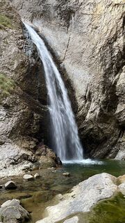
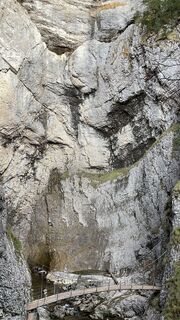
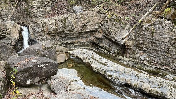
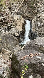
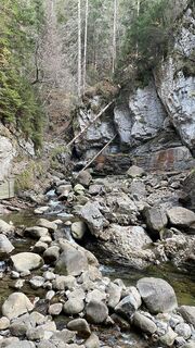
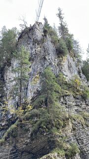
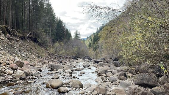
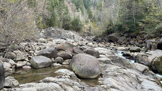
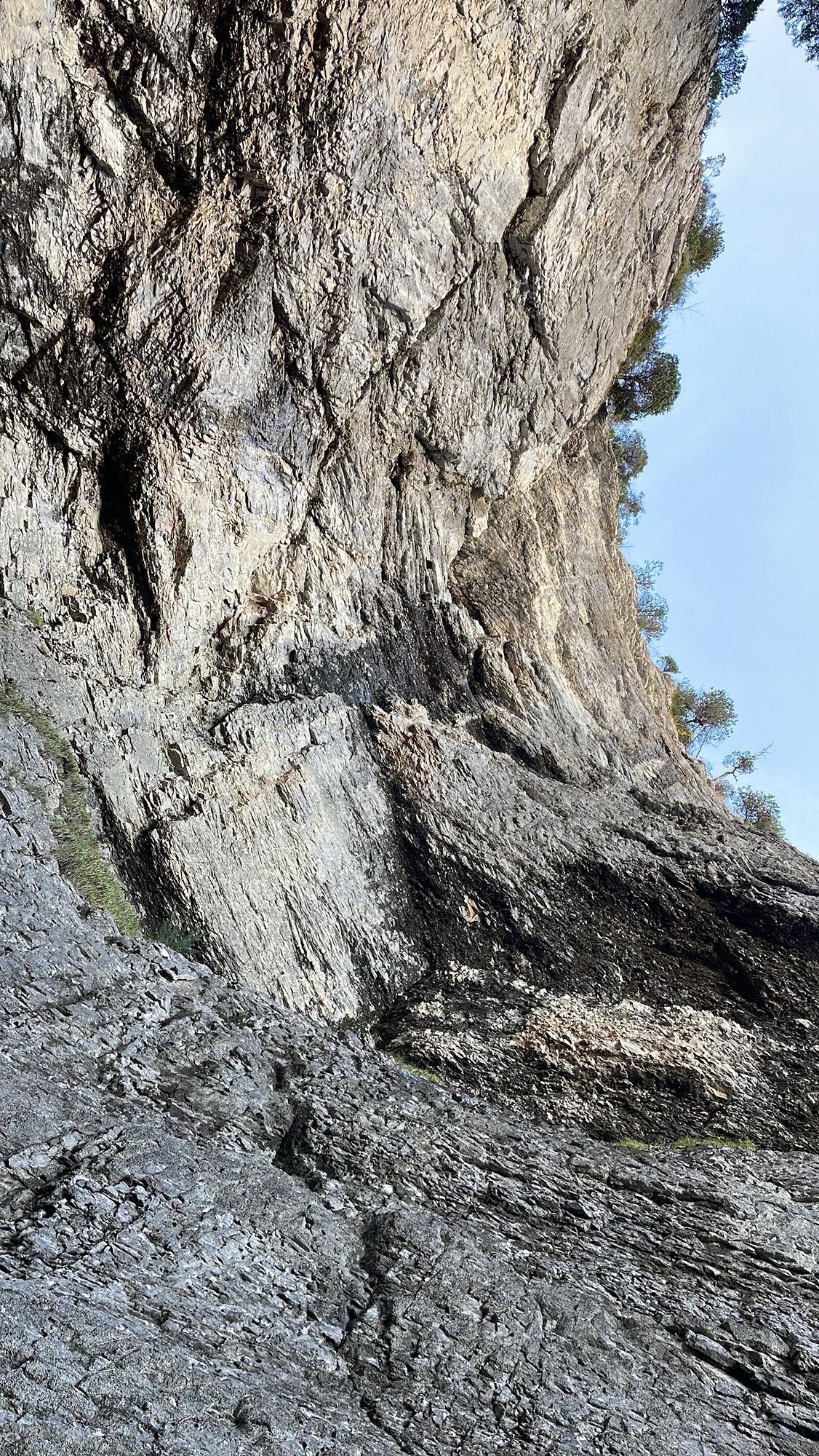
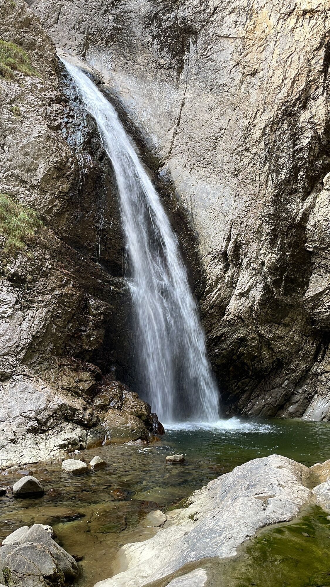
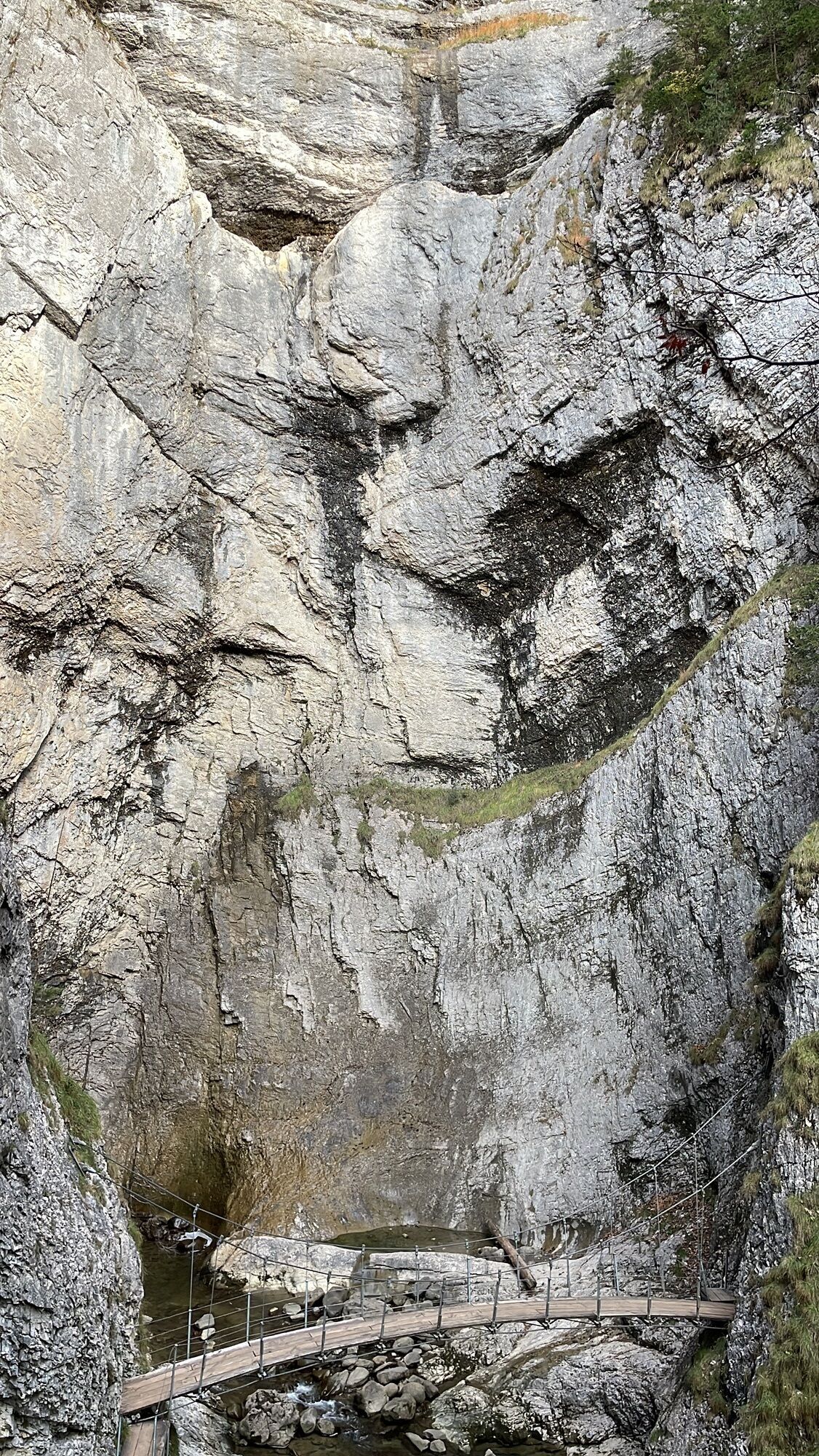
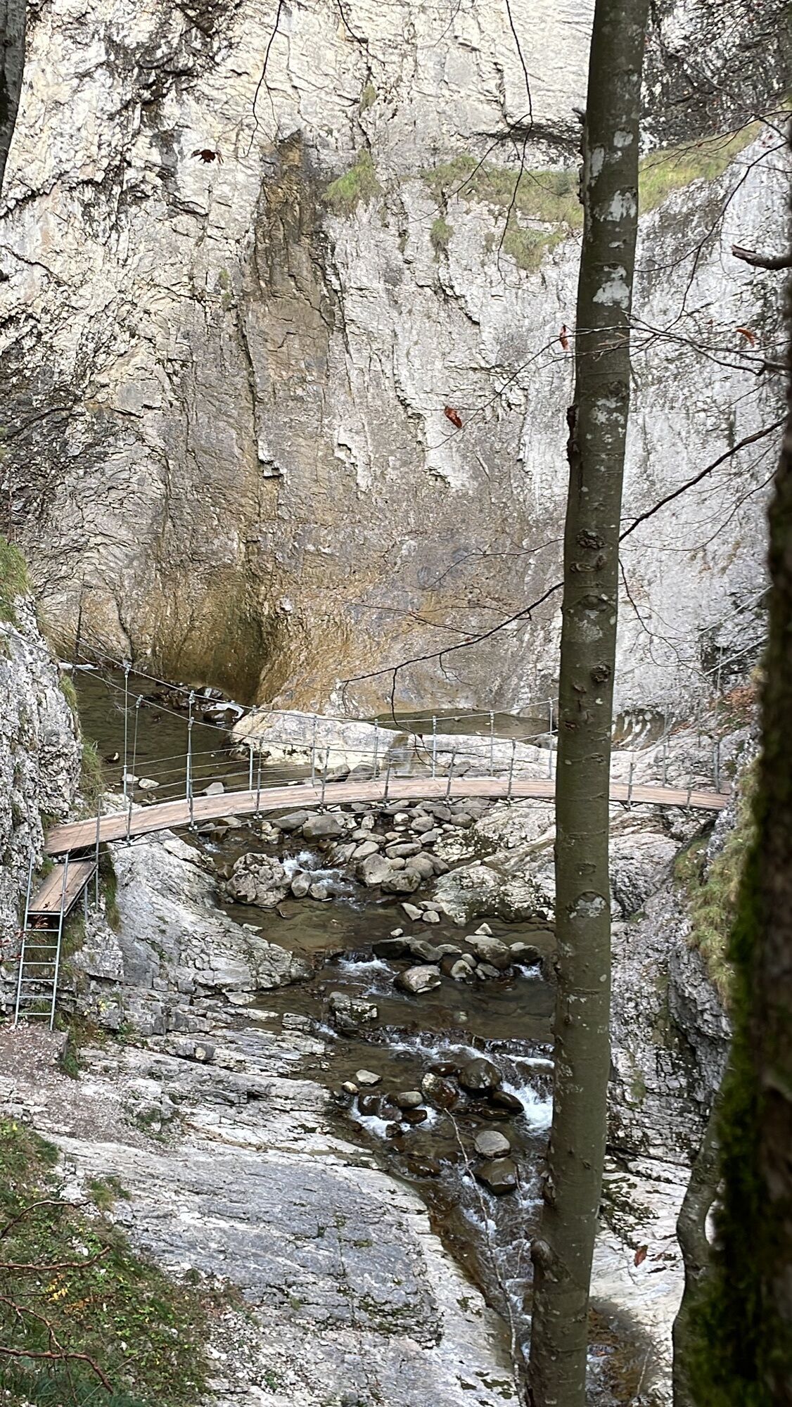
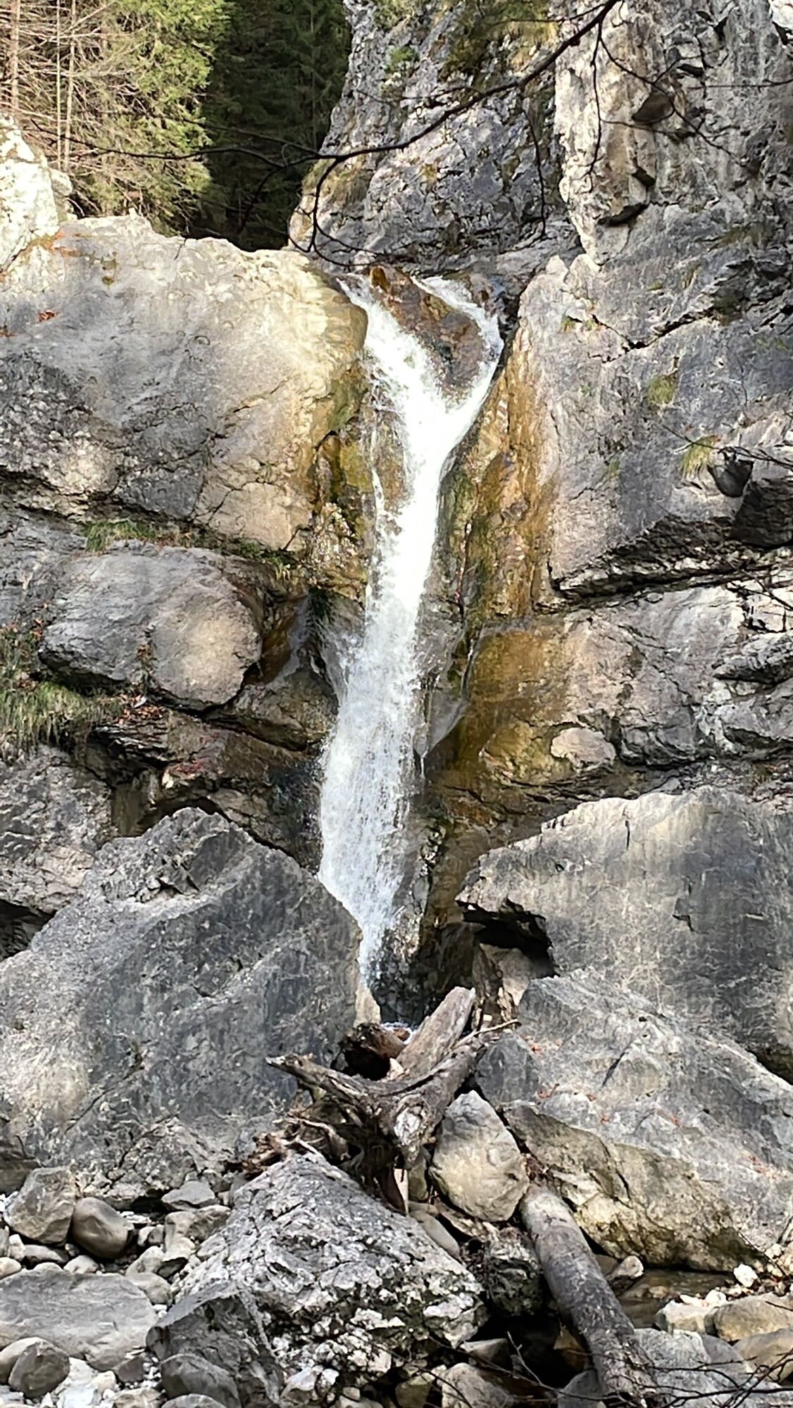
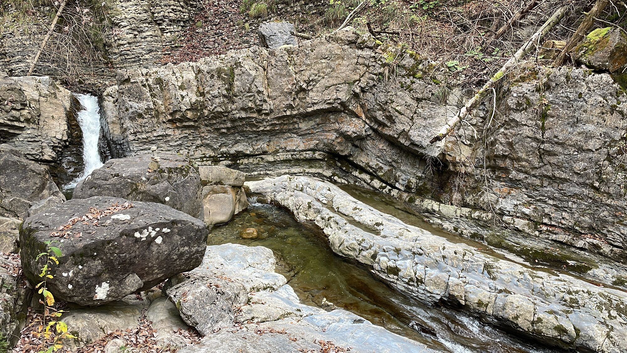
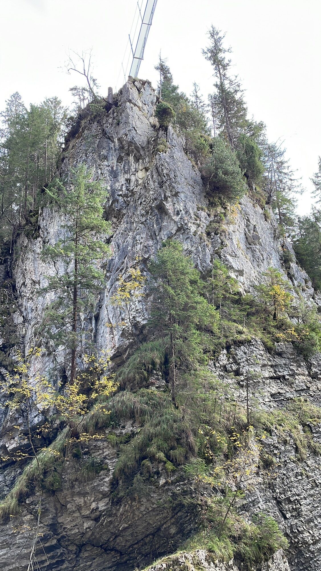
Photos from our users
-
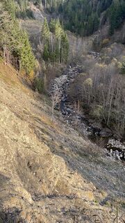
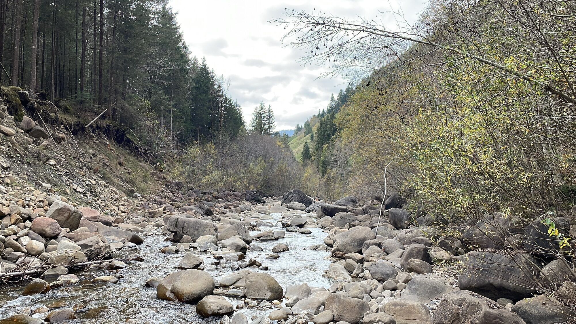
 © Peter RentschCreated on 02.11.2022
 -
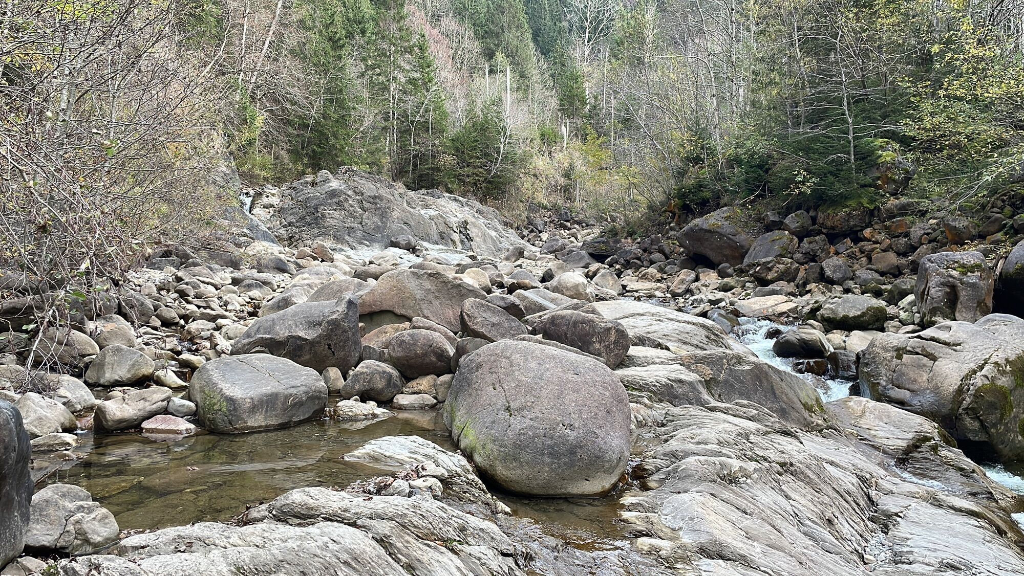
 © Peter RentschCreated on 02.11.2022
 -
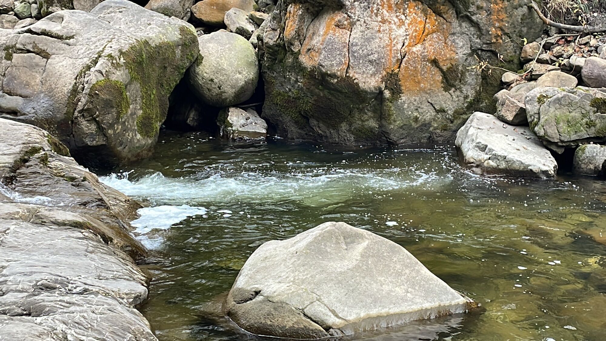
 © Peter RentschCreated on 02.11.2022
 -
 © Peter RentschCreated on 02.11.2022
 -
 © Peter RentschCreated on 02.11.2022
 -
 © Peter RentschCreated on 02.11.2022
 -
 © Peter RentschCreated on 02.11.2022
 -
 © Peter RentschCreated on 02.11.2022
 -
 © Peter RentschCreated on 02.11.2022
 -
 © Peter RentschCreated on 02.11.2022
 -
 © Peter RentschCreated on 02.11.2022
 -
 © Peter RentschCreated on 02.11.2022
 -
 © Peter RentschCreated on 02.11.2022


Route
Flühli
(882 m)
Village
0,0 km
Fürstei
(887 m)
Restaurant
0,3 km
Hüttlenen
(908 m)
Settlement
0,9 km
Schwefelquelle
(1.034 m)
Source
3,4 km
Fürstein
(2.040 m)
Summit
9,5 km
Hüttlenen
(908 m)
Settlement
18,4 km
Flühli
(882 m)
Village
19,3 km
Route
Flühli
(882 m)
Village
0,0 km
Fürstei
(887 m)
Restaurant
0,3 km
Hüttlenen
(908 m)
Settlement
0,9 km
Schwefelquelle
(1.034 m)
Source
3,4 km
Fürstein
(2.040 m)
Summit
9,5 km
Chessimättli
(1.066 m)
Viewpoint
15,6 km
Schwefelquelle
(1.034 m)
Source
15,9 km
Hüttlenen
(908 m)
Settlement
18,4 km
Fürstei
(887 m)
Restaurant
18,9 km
Flühli
(882 m)
Village
19,3 km
No reviews yet
Popular tours in the neighbourhood
-
3,2
Höhenwanderung Brienzer Rothorn
mediumPješačenje 9,16 km -
5,0
Brienzer-Rothorn via Lättgässli
mediumPješačenje 13,3 km -
4,7
Von Stäfeli via Mittaggüpfi - Stäfeliflue - Blaue Tosse - Risetestock - Stäfeli
mediumPješačenje 10 km -
Pilatus Kette
heavyPješačenje 15,6 km -
5,0
Höch Gumme Rundtour
mediumPješačenje 9,96 km -
Bärgmandlipfad Giswil
heavyPješačenje 13,3 km -
5,0
Sörenberg-Kemmeribodenbad-Sörenberg
lightMountainbike 26,7 km -
4,8
Gfellen-Schimbrig-Gfellen
heavyPješačenje 11,9 km -
4,0
Up to the Mittaggüpfi
mediumPješačenje 2,79 km -
4,5
Glaubenberg Langis - Lochalp - Glaubenberg Langis
lightZimsko planinarenje 13,5 km
bergfex Tours

Over 550.000 tour suggestions, detailed maps and an intuitive route planner make the app a must-have for all nature enthusiasts.

Ne propustite ponude i inspiraciju za vaš sljedeći odmor
Subscribe to the newsletter
Error
An error has occurred. Please try again.
Thank you for your registration
Your e-mail address has been added to the mailing list.
Tours throughout Europe
Austrija
Švicarska
Njemačka
Italija
Slovenija
Francuska
Nizozemska
Belgija
Poljska
Lihtenštajn
Češka
Slovačka
Španija
Hrvatska
Bosna i Hercegovina
Luksemburg
Andora
Portugal
Island
Ujedinjeno Kraljevstvo
Irska
Grčka
Albanija
Sjeverna Makedonija
Malta
Norveška
Crna Gora
Moldova
Kosovo
Mađarska
San Marino
Rumunjska
Estonija
Latvija
Bjelorusija
Cipar
Litva
Srbija
Bugarska
Monako
Danska
Švedska
Finska