© Region Luzern-Vierwaldstättersee - Caroline Pirskanen

© Region Luzern-Vierwaldstättersee - obwalden-tourismus.ch

© Region Luzern-Vierwaldstättersee - Tamara Durrer / obwalden-tourismus.ch

© Region Luzern-Vierwaldstättersee - Hansruedi Odermatt / obwalden-tourismus.ch

© Region Luzern-Vierwaldstättersee - Hansruedi Odermatt / obwalden-tourismus.ch

- Kratak opis
-
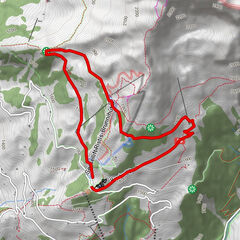
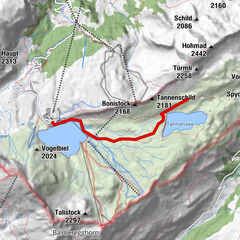
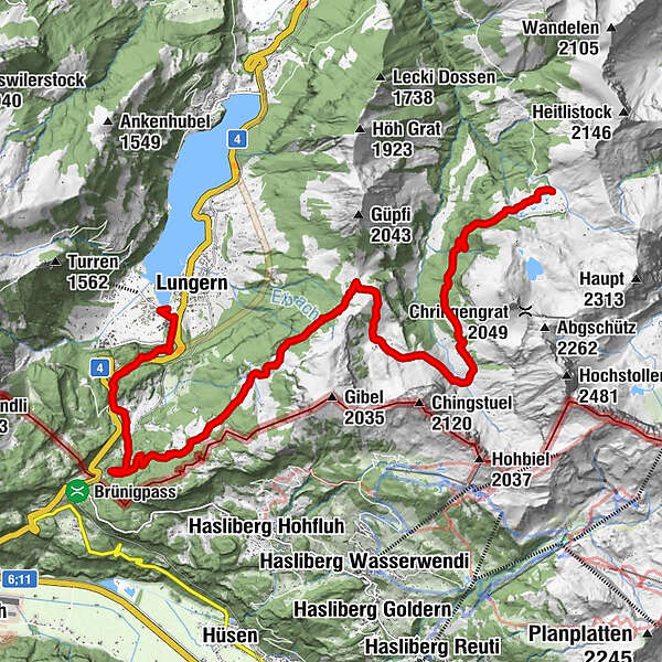
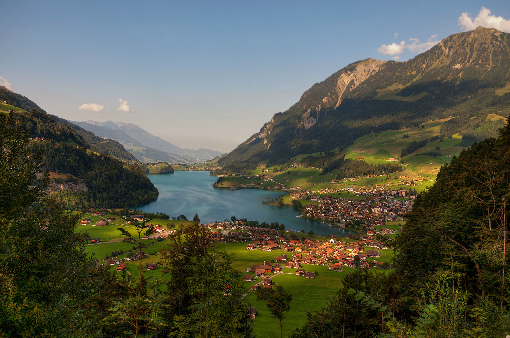
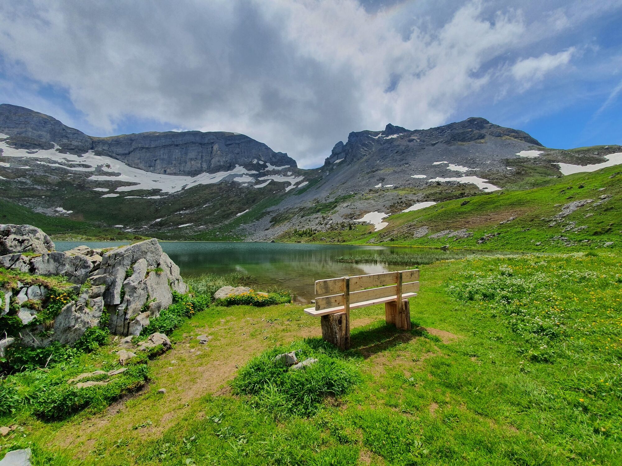
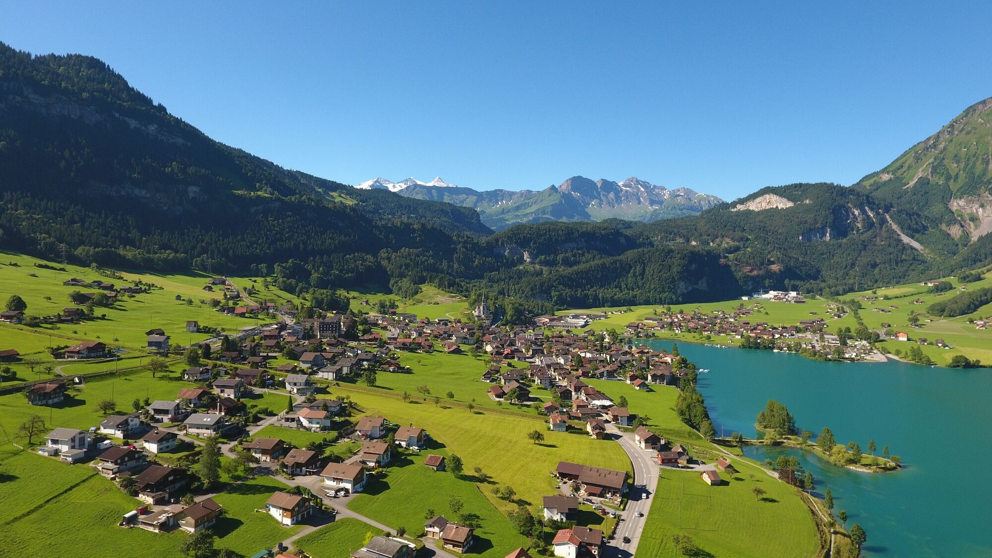
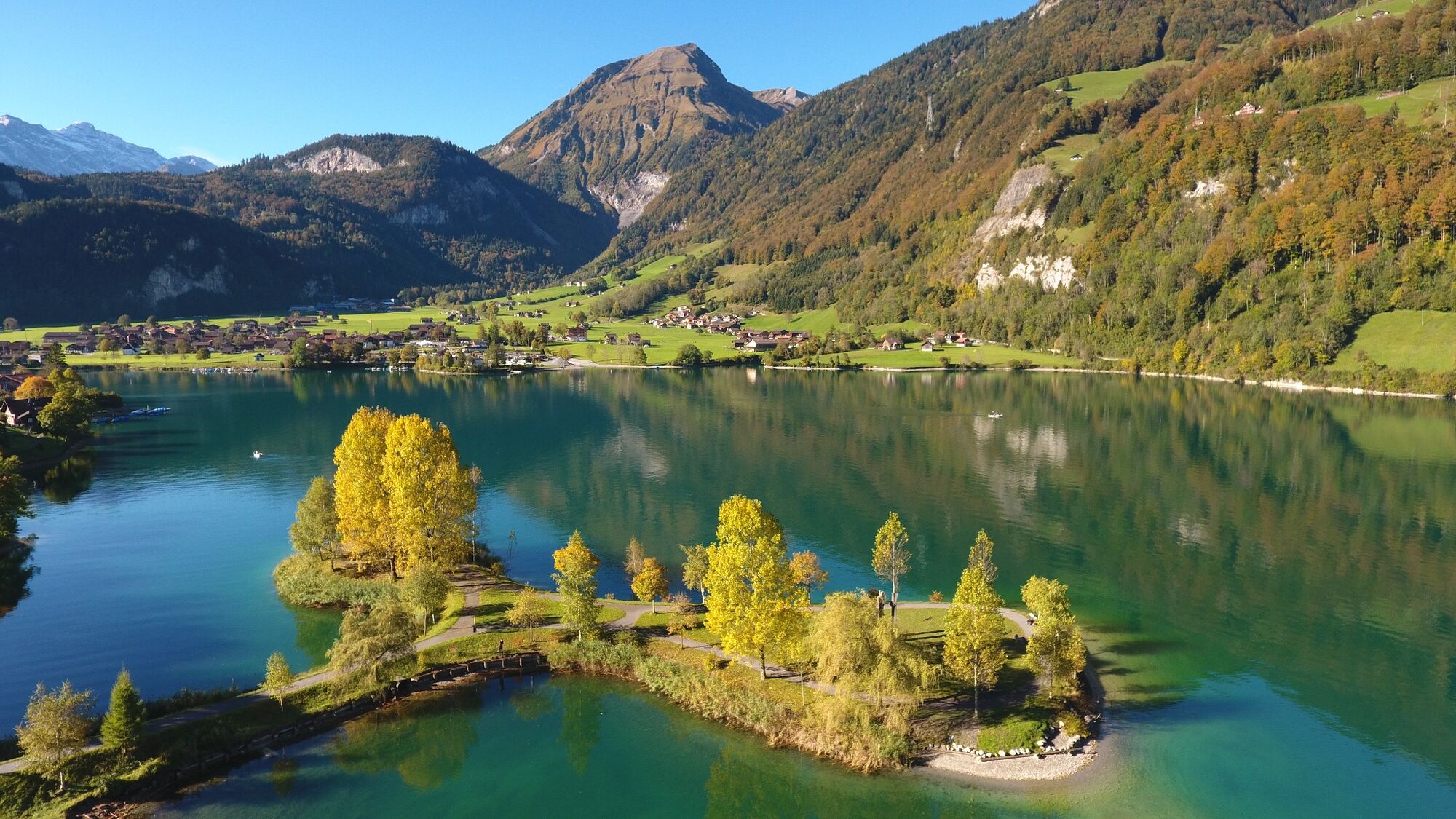
The seventh stage of the Tell Trail leads from Älggialp towards the Brünig pass and Lake Lungern. The destination of the stage is the village of Lungern.
- Teškoća
-
srednje
- Vrednovanje
-
- Wegverlauf
-
Berggasthaus Aelggialp0,0 kmNaturfreundehaus Brünig13,8 km
- Beste Jahreszeit
-
sijveljožutrasvilipsrpkolrujlisstupro
- Höchster Punkt
- 1.737 m
- Zielpunkt
-
Lungern
- Höhenprofil
-
 © outdooractive.com

- Autor
-
Die Tour Tell-Trail stage 7: Älggialp - Lungern wird von outdooractive.com bereitgestellt.
GPS Downloads


Opće informacije
Einkehrmöglichkeit
Weitere Touren in den Regionen
-
Obwalden
2023
-
Haslital
898
-
Lungern - Schönbüel
243