© Schwyzer Wanderwege - Beat Brechbühl

© Schwyzer Wanderwege - Beat Brechbühl

© Stoos-Muotatal Tourismus GmbH - Roger Betschart

© Stoos-Muotatal Tourismus GmbH - Roger Betschart

© Stoos-Muotatal Tourismus GmbH - Beat Brechbühl

© Stoos-Muotatal Tourismus GmbH - Beat Brechbühl

- Kratak opis
-
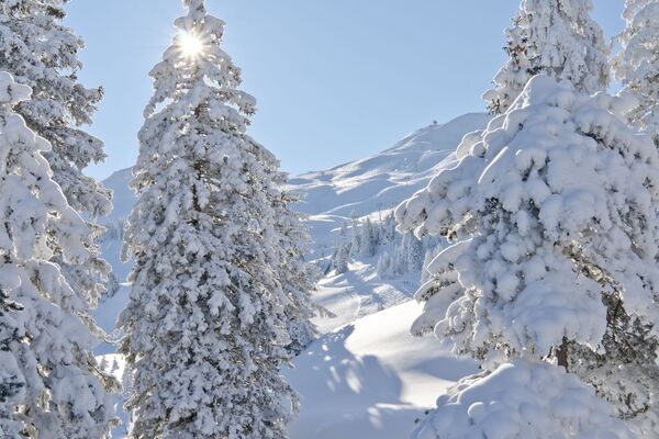
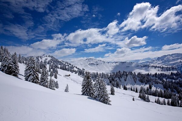
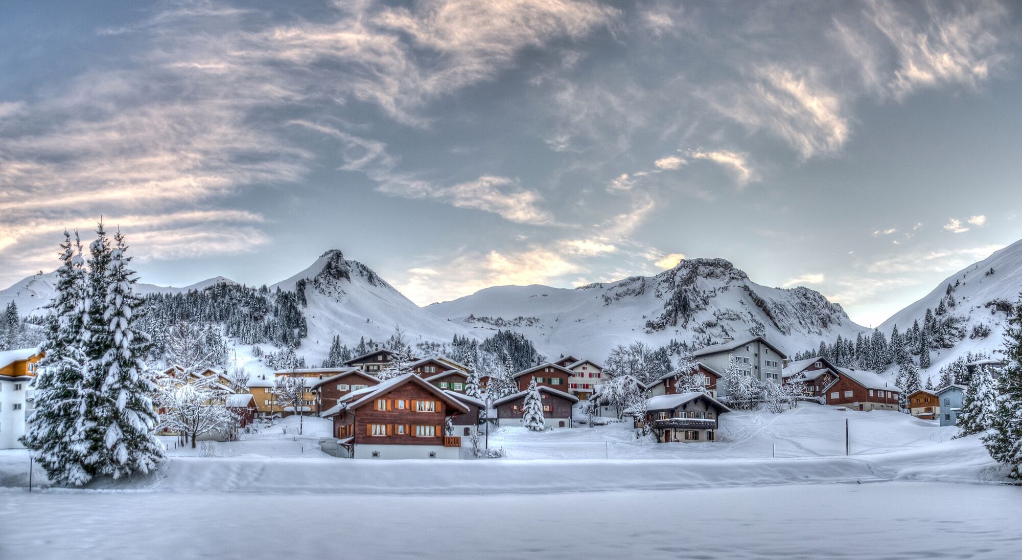
Circling the idyllic mountain village of Stoos
True to its name, the Ringstrasse runs around the car-free mountain village of Stoos. If you want to weave more nature and seclusion into the short winter hike, you can pull two additional loops.
- Teškoća
-
lagano
- Vrednovanje
-
- Wegverlauf
-
Seminar- und Wellnesshotel Stoos0,4 kmStoos SZ (1.305 m)2,5 kmSkilift Sternegg Talstation2,8 km
- Beste Jahreszeit
-
kolrujlisstuprosijveljožutrasvilipsrp
- Höchster Punkt
- 1.322 m
- Zielpunkt
-
Stooshorn, mountain station old funicular railway
- Höhenprofil
-
 © outdooractive.com

- Autor
-
Die Tour Ring road and extension Stooshorn wird von outdooractive.com bereitgestellt.
GPS Downloads


Opće informacije
Einkehrmöglichkeit
Aussichtsreich
Weitere Touren in den Regionen
-
Schwyz
113
-
Mythenregion
65
-
Stoos
32