Ruski - Kolędówka - Jałowiec - Lachów Groń
heavy
Navigate
Navigate
Get this tour on your mobile
Ruski - Kolędówka - Jałowiec - Lachów Groń
heavy
Mountainbike
51,18
km
Scan the QR code and start navigation in the bergfex app

Hiking & Tracking


Distance
51,18
km
Duration
04:43
h
Ascent
1.388
m
Sea level
312 -
1.113
m
Track download
Ruski - Kolędówka - Jałowiec - Lachów Groń
heavy
Mountainbike
51,18
km


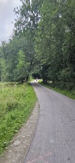
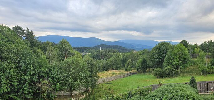
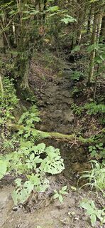
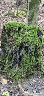
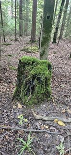
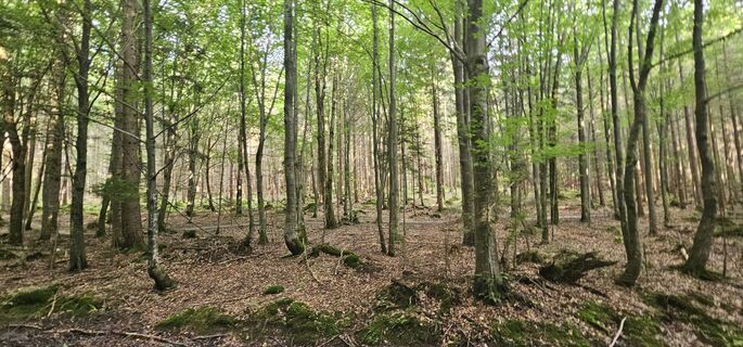
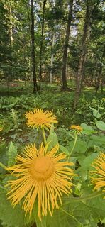
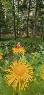
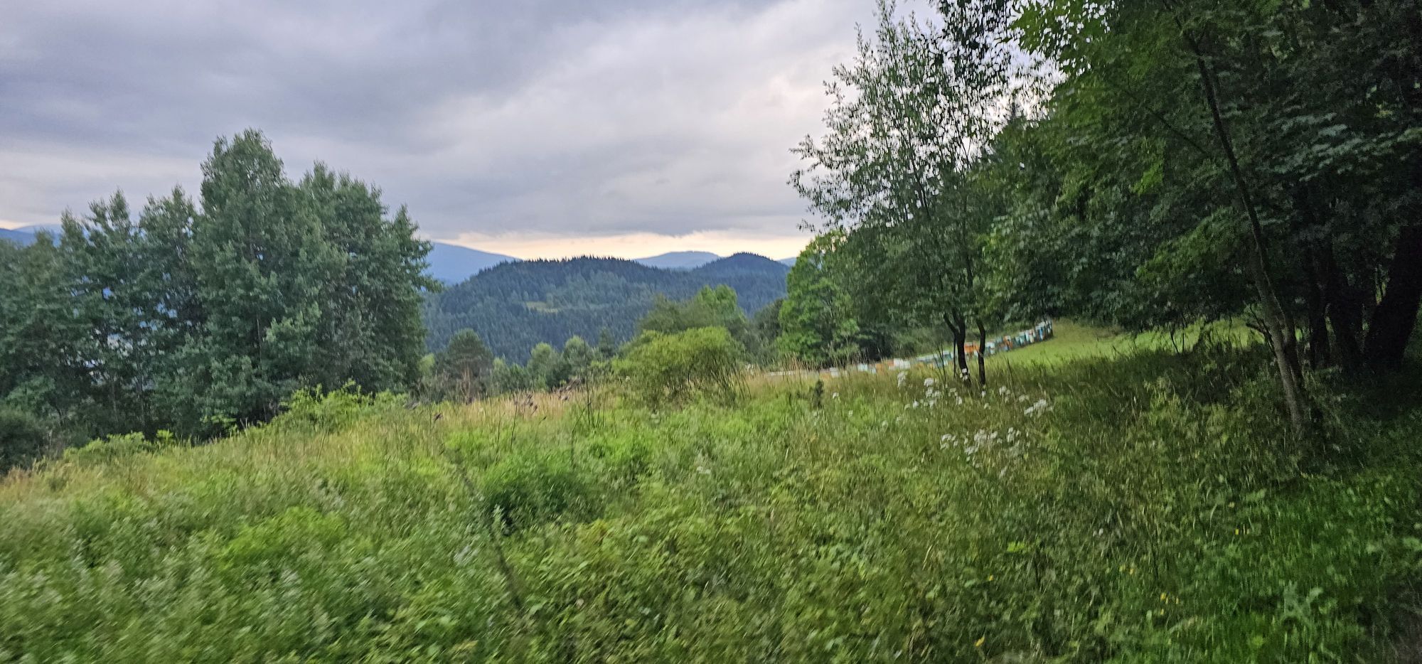
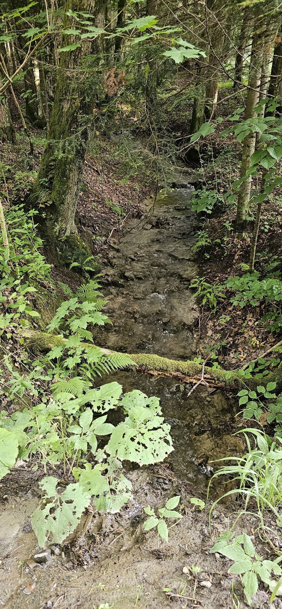
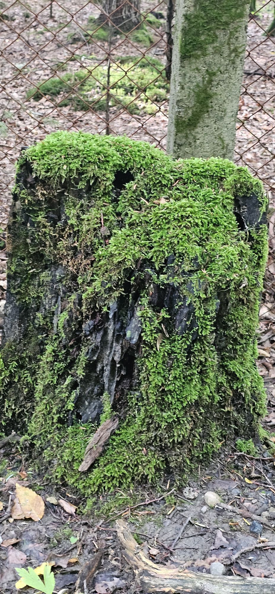
Photos from our users
-
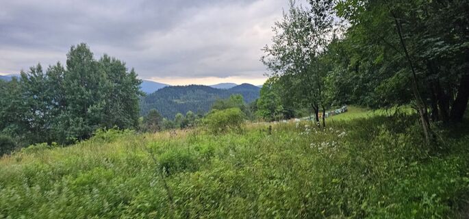
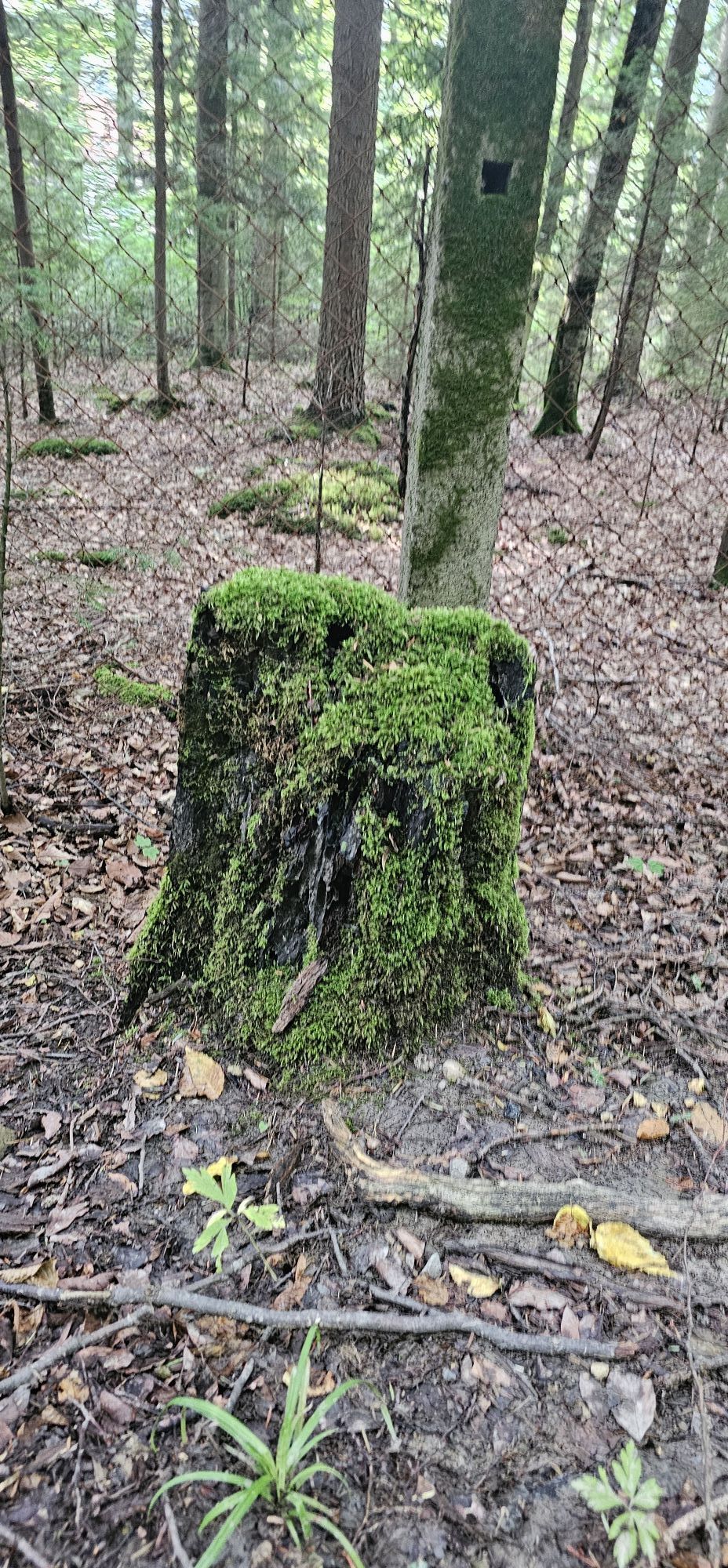
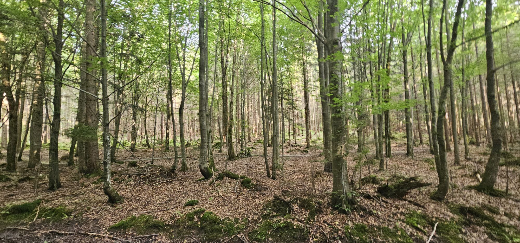
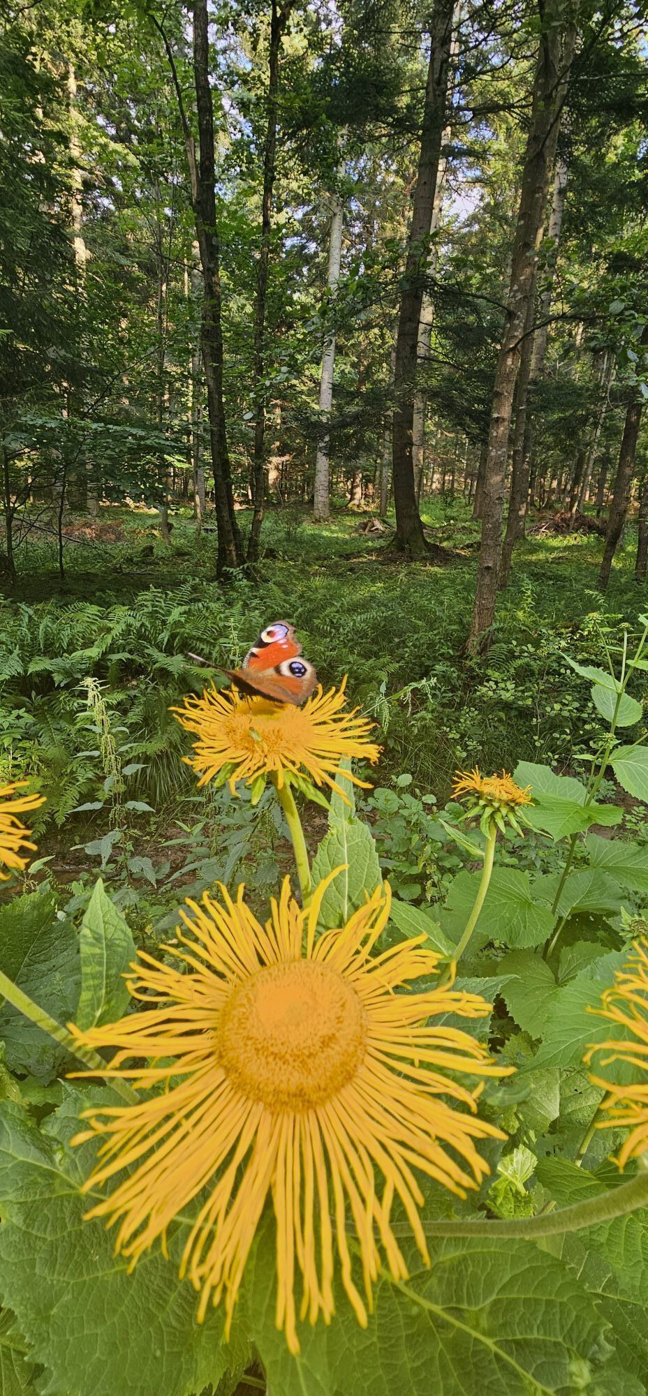
 © Sławomir KołodziejCreated on 13.07.2024
 -
 © Sławomir KołodziejCreated on 13.07.2024
 -
 © Sławomir KołodziejCreated on 13.07.2024
 -
 © Sławomir KołodziejCreated on 13.07.2024
 -
 © Sławomir KołodziejCreated on 13.07.2024
 -
 © Sławomir KołodziejCreated on 13.07.2024
 -
 © Sławomir KołodziejCreated on 13.07.2024
 -
 © Sławomir KołodziejCreated on 13.07.2024
 -
 © Sławomir KołodziejCreated on 13.07.2024


Route
Kościół św. Jana Chrzciciela w Zembrzycach
(318 m)
Place of worship
1,2 km
Sucha Beskidzka
(339 m)
City
5,9 km
Starostówka
(442 m)
Neighbourhood
7,0 km
Kolędówka
(884 m)
Summit
19,4 km
Jałowiec
(1.111 m)
Summit
22,0 km
Lachów Groń
(1.045 m)
Summit
26,3 km
Kościół pw. Świętego Stanisława Biskupa i Męczennika
(386 m)
Place of worship
41,7 km
Route
Ruski
(333 m)
Settlement
0,1 km
Szpitalisko
(318 m)
Settlement
1,1 km
Zembrzyce
(317 m)
Village
1,2 km
Kościół św. Jana Chrzciciela w Zembrzycach
(318 m)
Place of worship
1,2 km
Zawsie
(319 m)
Settlement
1,6 km
Koniec
(317 m)
Settlement
2,0 km
Dąbie
(323 m)
Settlement
4,0 km
Na Dębiu
(325 m)
Neighbourhood
4,3 km
Pizzeria Magnolia
(339 m)
Restaurant
5,8 km
Magnolia
(341 m)
Restaurant
5,8 km
Sucha Beskidzka
(339 m)
City
5,9 km
Podkościele
(353 m)
Neighbourhood
6,0 km
Zagrody
(393 m)
Neighbourhood
6,5 km
Starostówka
(442 m)
Neighbourhood
7,0 km
Podksięże
(443 m)
Neighbourhood
7,1 km
Kasprzycy
(568 m)
Neighbourhood
7,7 km
Hyrby
(670 m)
Neighbourhood
8,9 km
Gawronka
(763 m)
Settlement
10,3 km
Magurka
(782 m)
Settlement
11,4 km
Przysłop
(705 m)
Settlement
12,0 km
Zabór
(683 m)
Settlement
12,3 km
Spyrki
(721 m)
Settlement
12,5 km
Pod Grapą
(681 m)
Settlement
12,6 km
Morawy
(667 m)
Settlement
12,7 km
Beskid
(656 m)
Settlement
12,7 km
Bubiaki
(659 m)
Settlement
13,4 km
Granica
(669 m)
Settlement
13,5 km
Nowe Osiedle
(666 m)
Settlement
13,6 km
Przełęcz Przysłop
(661 m)
Mountain saddle
13,7 km
Chrząszcze
(690 m)
Settlement
14,5 km
Kolędówka
(803 m)
Settlement
18,9 km
Kolędówka
(884 m)
Summit
19,4 km
Opaczne
(880 m)
Settlement
20,4 km
Jałowiec
(1.111 m)
Summit
22,0 km
Przełęcz Sucha
(982 m)
Mountain saddle
23,0 km
Czerniawa Sucha Zachodnia
(1.051 m)
Summit
23,7 km
Lachów Groń
(1.045 m)
Summit
26,3 km
U Jury
(703 m)
Settlement
28,1 km
Majdaki
(698 m)
Settlement
28,3 km
U Lacha
(663 m)
Settlement
28,8 km
Na Potokach
(650 m)
Settlement
29,5 km
Sobalówka
(540 m)
Settlement
31,9 km
Sobańskie
(494 m)
Settlement
33,6 km
Krzystki
(470 m)
Settlement
34,3 km
Bogacze
(479 m)
Settlement
34,4 km
Kubińce
(472 m)
Settlement
35,2 km
Kapałów Potok
(453 m)
Settlement
35,6 km
U Grzesicy
(445 m)
Settlement
35,9 km
Lasiki
(456 m)
Settlement
35,9 km
Lachowice
(441 m)
Village
36,0 km
Gustawy
(449 m)
Settlement
36,4 km
Mącznianka
(433 m)
Settlement
36,7 km
Karówka
(446 m)
Settlement
36,7 km
Chrząszczówka
(429 m)
Settlement
36,8 km
Banasie
(446 m)
Settlement
36,9 km
Łaciaki
(444 m)
Settlement
37,1 km
Pająkówka
(421 m)
Settlement
37,4 km
Świerkoszówka
(418 m)
Settlement
37,6 km
Rumiaków
(431 m)
Settlement
37,8 km
Dudziakówka
(447 m)
Settlement
37,9 km
Elżbieciakówka
(443 m)
Settlement
38,1 km
Kachlówka
(430 m)
Settlement
38,3 km
Kalówka
(429 m)
Settlement
38,4 km
Stachówka Górna
(399 m)
Settlement
39,2 km
Stachówka Dolna
(394 m)
Settlement
39,7 km
Kopce
(400 m)
Settlement
40,2 km
Misierówka
(389 m)
Settlement
40,9 km
Babiarze
(386 m)
Settlement
41,3 km
Stryszawa Dolna
(386 m)
Settlement
41,5 km
Pilarczyki
(394 m)
Settlement
41,6 km
Kościół pw. Świętego Stanisława Biskupa i Męczennika
(386 m)
Place of worship
41,7 km
Kotliki
(386 m)
Settlement
41,8 km
Sale
(379 m)
Settlement
42,0 km
Józefiaki
(370 m)
Neighbourhood
42,5 km
Józefy
(371 m)
Neighbourhood
42,6 km
Bańdury
(361 m)
Neighbourhood
42,8 km
Szklarczyki
(361 m)
Neighbourhood
42,8 km
Kołaczki
(362 m)
Neighbourhood
43,3 km
Za Wodą
(353 m)
Neighbourhood
43,6 km
Semikówka
(359 m)
Neighbourhood
44,1 km
Role
(352 m)
Neighbourhood
44,1 km
Restauracja Szafran
(351 m)
Restaurant
44,8 km
Osiedle Beskidzkie
(347 m)
Neighbourhood
45,6 km
Osiedle na Stawach
(347 m)
Neighbourhood
45,9 km
Sucha Beskidzka
(339 m)
City
45,9 km
Rezzo
(340 m)
Restaurant
46,2 km
Podkościele
(353 m)
Neighbourhood
46,7 km
Na Dębiu
(325 m)
Neighbourhood
48,3 km
Dąbie
(323 m)
Settlement
48,6 km
Ruski
(333 m)
Settlement
51,1 km
No reviews yet
Popular tours in the neighbourhood
-
4,0
Mosorny Groń/Zawoja Zawoja, Małopolskie
mediumPješačenje 5,78 km -
4,9
Przełęcz Krowiarki - Kępa - Mały Garb Wyżni - Babia Góra / Babia hora
mediumPješačenje 14,2 km -
4,3
Przełęcz Krowiarki - Kępa - Babia Góra / Babia hora - Mały Garb Wyżni
mediumPješačenje 9,48 km -
4,0
Przełęcz Krowiarki - Mały Garb Wyżni - Babia Góra / Babia hora - Marki
mediumPješačenje 11,3 km -
Przełęcz Krowiarki - Babia Góra / Babia hora - Mała Babia Góra / Malá Babia hora - Schronisko PTTK Markowe Szczawiny
heavyPješačenje 13,8 km -
Przełęcz Krowiarki - Mały Garb Wyżni - Babia Góra / Babia hora - Mała Babia Góra / Malá Babia hora
heavyPješačenje 20,1 km -
5,0
Przełęcz Krowiarki - Mały Garb Wyżni - Babia Góra / Babia hora - Mała Babia Góra / Malá Babia hora
heavyPješačenje 19,0 km -
5,0
Marki - Babia Góra / Babia hora - Mały Garb Wyżni - Kępa
heavyPješačenje 18,0 km -
Bazylika Ofiarowania Najświętszej Maryi Panny - Groń Jana Pawła II - Leskowiec - Kościół pw. Narodzenia Świętego Jana Chrzciciela w Ślemieniu
Hodočasnička ruta 26,4 km -
Przełęcz Krowiarki - Mały Garb Wyżni - Babia Góra / Babia hora - Mała Babia Góra / Malá Babia hora
heavyPješačenje 25,4 km
bergfex Tours

Over 550.000 tour suggestions, detailed maps and an intuitive route planner make the app a must-have for all nature enthusiasts.

Ne propustite ponude i inspiraciju za vaš sljedeći odmor
Subscribe to the newsletter
Error
An error has occurred. Please try again.
Thank you for your registration
Your e-mail address has been added to the mailing list.
Tours throughout Europe
Austrija
Švicarska
Njemačka
Italija
Slovenija
Francuska
Nizozemska
Belgija
Poljska
Lihtenštajn
Češka
Slovačka
Španija
Hrvatska
Bosna i Hercegovina
Luksemburg
Andora
Portugal
Island
Ujedinjeno Kraljevstvo
Irska
Grčka
Albanija
Sjeverna Makedonija
Malta
Norveška
Crna Gora
Moldova
Kosovo
Mađarska
San Marino
Rumunjska
Estonija
Latvija
Bjelorusija
Cipar
Litva
Srbija
Bugarska
Monako
Danska
Švedska
Finska