


- Kratak opis
-
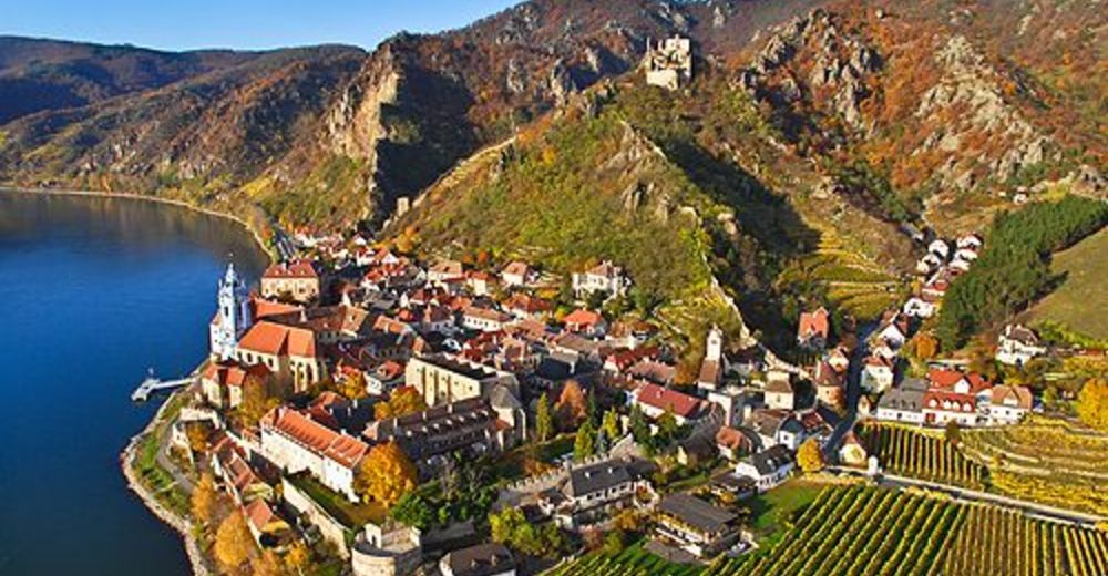
Baroque monastery and robber-knight fortress
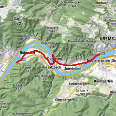
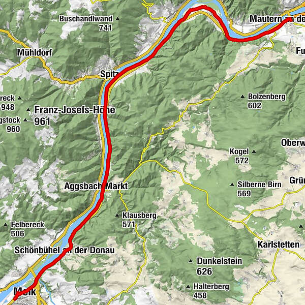
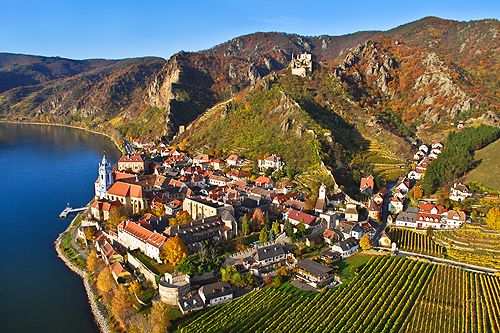
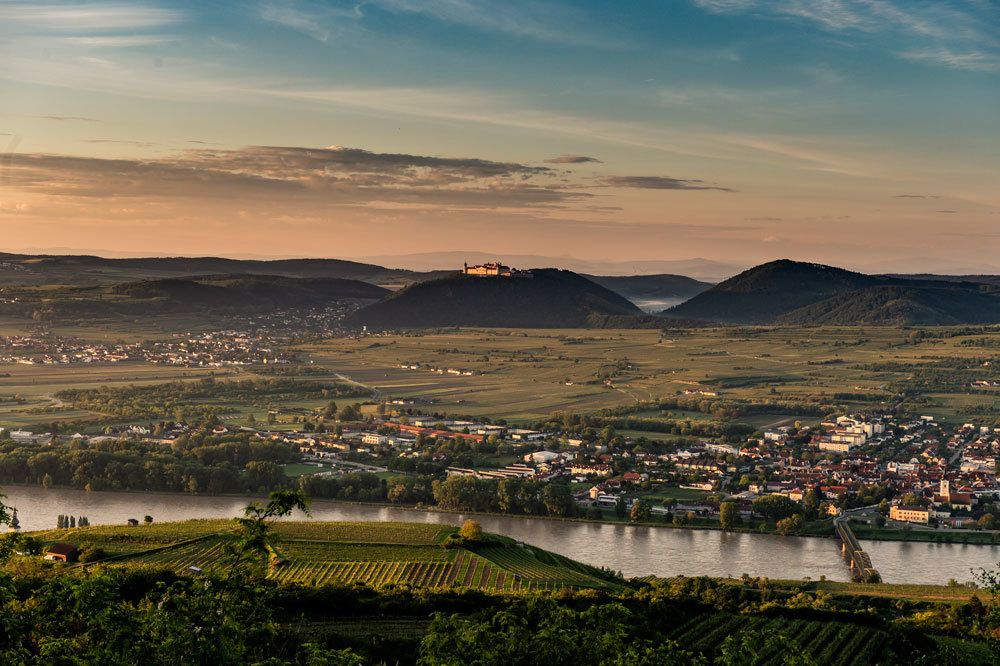
Along this section of the scenic Danube Bike Path, you ride from Melk, the western “Gateway to the Wachau”, along the Danube to the historic city of Mautern, which played a major role in Ancient Roman times. On your ride, you pedal through the lovely Wachau and towns such as Schönbühel, Aggsbach and Rossatz-Arnsdorf.
Current Notices:
Due to the construction of flood prevention measures, there are a number of small diversions in the Schönbühel-Aggsbach Dorf-Aggstein area; these are locally signposted.
Due to construction works on the bridge between Mautern and Stein (the Mauterner Brücke), there will be restrictions for cyclists, starting immediately! We recommend allowing enough time to cross the Danube elsewhere.
- Teškoća
-
srednje
- Vrednovanje
-
- Wegverlauf
-
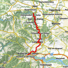
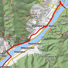
Luftschutzstollen0,1 kmMelk (213 m)0,7 kmStollen2,5 kmGasthof Stumpfer4,5 kmSchönbühel an der Donau4,8 kmDonauterrasse9,7 kmAggsbach Markt10,0 kmGasthaus Zur Post10,1 kmAggstein11,4 kmAggsteinerhof11,7 kmSt. Johann im Mauerthale14,9 kmSchwallenbach15,3 kmOberarnsdorf16,4 kmSpitz17,4 kmHofarnsdorf18,2 kmPfarrkirche hl. Rupert18,2 kmRadlerkirche St.Katharina18,4 kmMitterarnsdorf18,6 kmBacharnsdorf19,4 kmWösendorf in der Wachau21,2 kmUnterkienstock22,4 kmSankt Lorenz23,5 kmRührsdorf24,8 kmRossatz26,6 kmRossatzbach27,9 kmOberloiben29,3 kmUnterloiben30,2 kmFilialkirche hl. Johannes der Täufer31,3 kmHundsheim31,3 kmMauternbach31,7 kmMautern an der Donau33,2 km
- Beste Jahreszeit
-
sijveljožutrasvilipsrpkolrujlisstupro
- Höchster Punkt
- 244 m
- Zielpunkt
-
Mautern
- Höhenprofil
-


- Autor
-
Die Tour Danube Cycle Path, stage 5, south bank: Melk – Mautern wird von outdooractive.com bereitgestellt.