© Donau Niederösterreich/Steve Haider

© Weinstraße Wagram/Herbert Lehmann

© Donau Niederösterreich/www.extremfotos.com

© Donau Niederösterreich

© Donau Niederösterreich

- Kratak opis
-
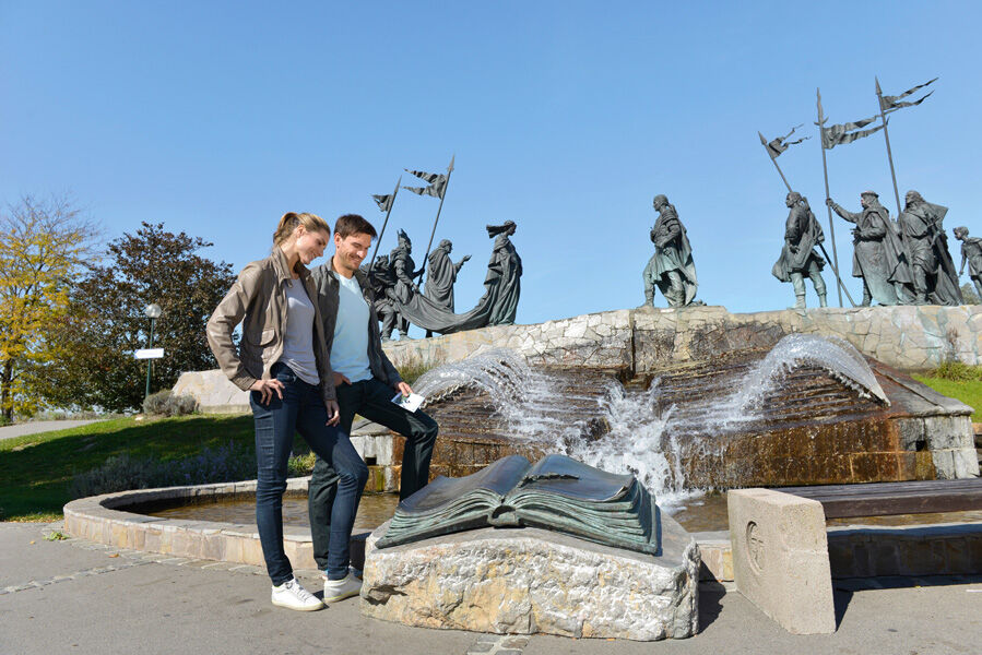
From medieval city to a city of gardens and art
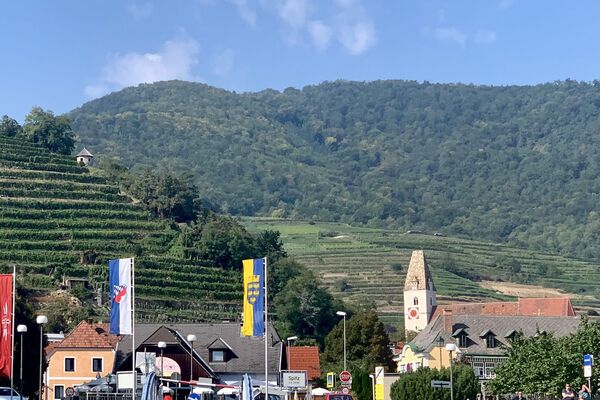
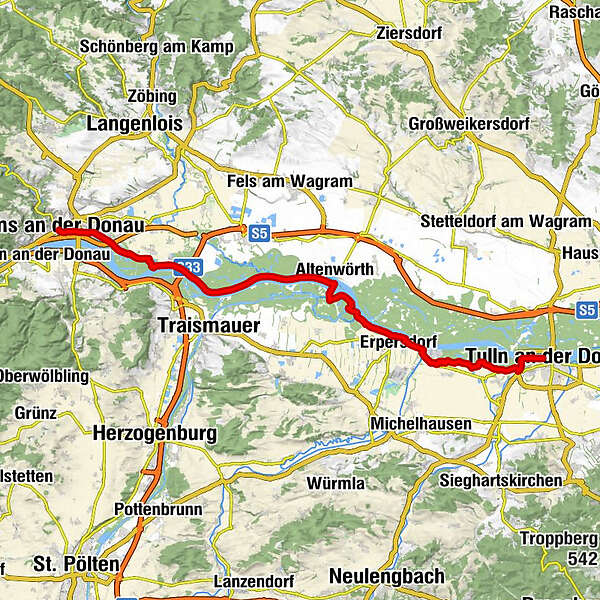
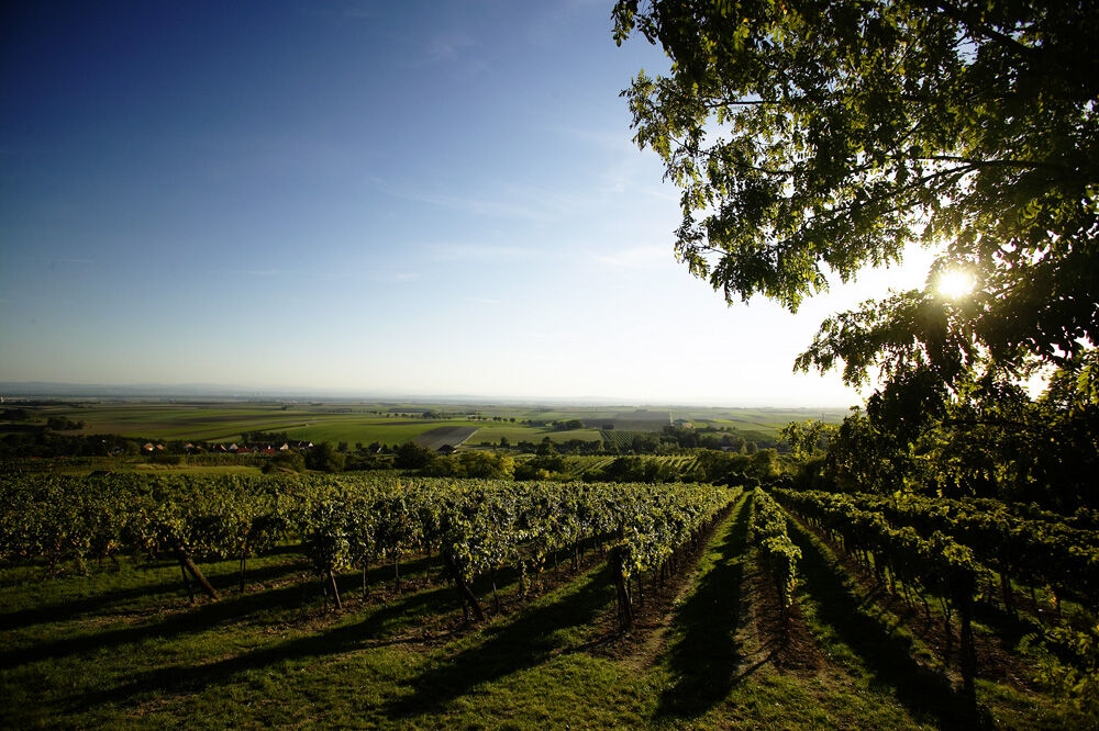
Today’s tour takes you along the north and south bank of the Danube and out of the Wachau and its countryside shaped by human hand. You start in Krems along the Danube, a charming center of commerce and culture, and pedal along the Danube Bike Path to Tulln, a Danube town known for its gardens and art. Altenwörth and Zwentendorf are among the towns you pass through before arriving at your destination on the south bank of the river.
IMPORTANT NOTICE:
- Teškoća
-
srednje
- Vrednovanje
-
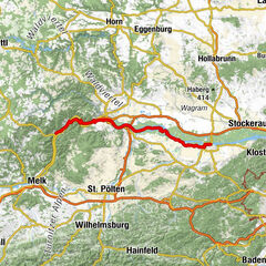
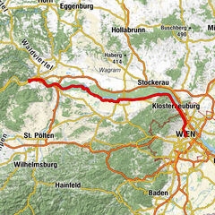
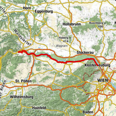
- Wegverlauf
-
Krems an der DonauMitterau0,4 kmWeinzierl0,8 kmBärndorfer Hütte25,7 kmZwentendorf an der Donau27,7 kmSt. Hubertus28,8 kmKleinschönbichl30,0 kmPischelsdorf31,7 kmHeurigenschank Marschall34,5 kmHl. Nikolaus34,6 kmGasthaus Ehn34,7 kmLangenschönbichl34,7 kmKronau36,9 kmTulln an der Donau41,2 km
- Beste Jahreszeit
-
sijveljožutrasvilipsrpkolrujlisstupro
- Höchster Punkt
- 198 m
- Zielpunkt
-
Tulln
- Höhenprofil
-


- Autor
-
Die Tour Danube Cycle Path, stage 6, north bank: Krems – Tulln wird von outdooractive.com bereitgestellt.
GPS Downloads


Opće informacije
Einkehrmöglichkeit
Kulturell/Historisch
Flora
Aussichtsreich
Weitere Touren in den Regionen