Danube Cycle Path, stage 7, south bank: Klosterneuburg – Petronell

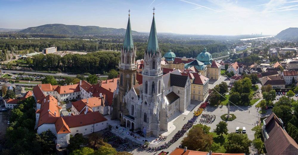
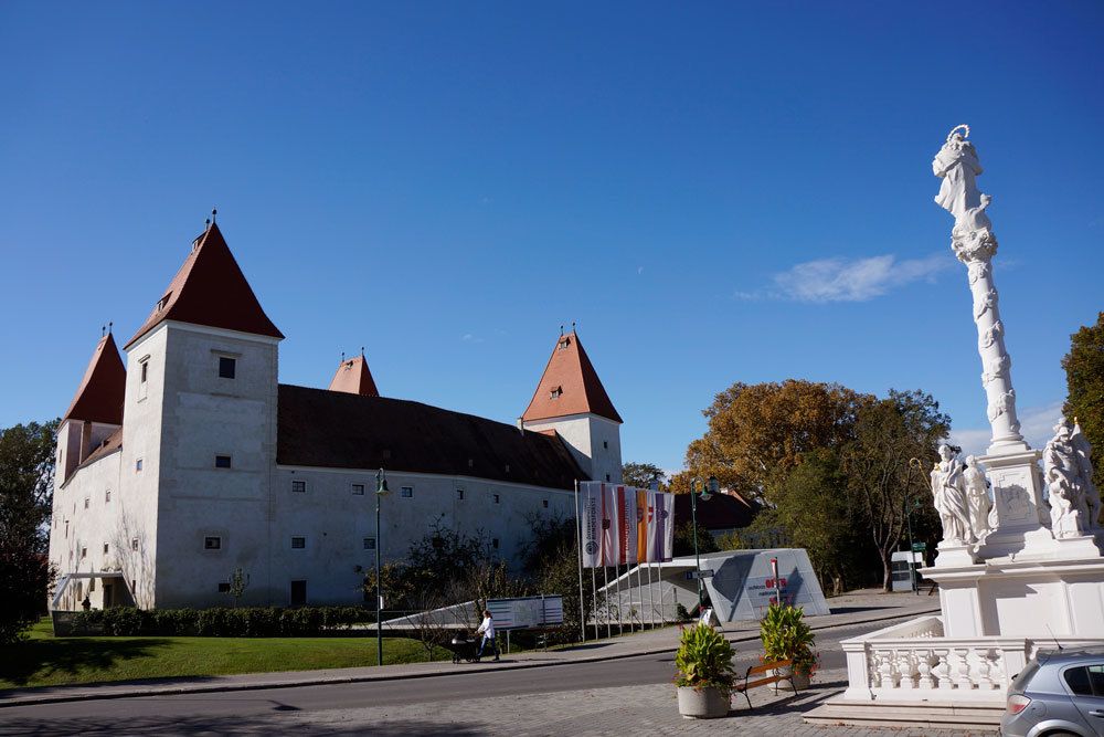
© Stift Klosterneuburg
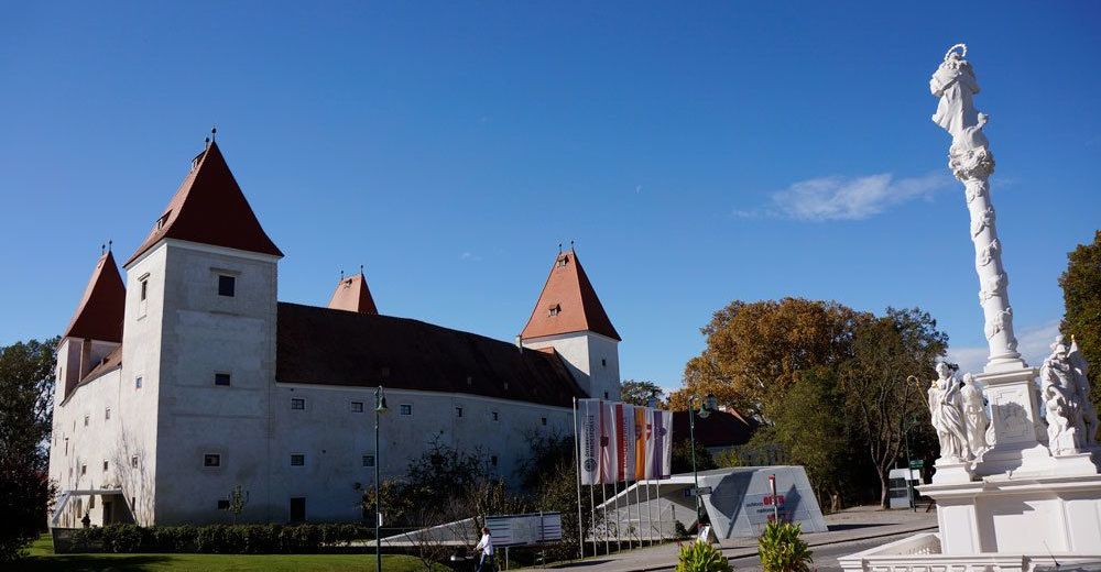
© Donau Niederösterreich/Steve Haider

© Donau Niederösterreich/Steve Haider
© Andreas Hofer

- Kratak opis
-
Tête-à-tête of culture and nature
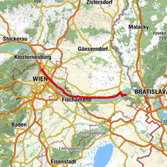
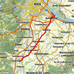
On this seventh stage of the Danube Bike Path, long-distance cyclists pedal along the lovely Danube bank promenade in Vienna. Then the path runs along the north bank through the idyllic Danube Wetlands National Park. At Haslau, you cross the Danube and the route takes you to the south bank to Petronell.
- Teškoća
-
srednje
- Vrednovanje
-
- Wegverlauf
-
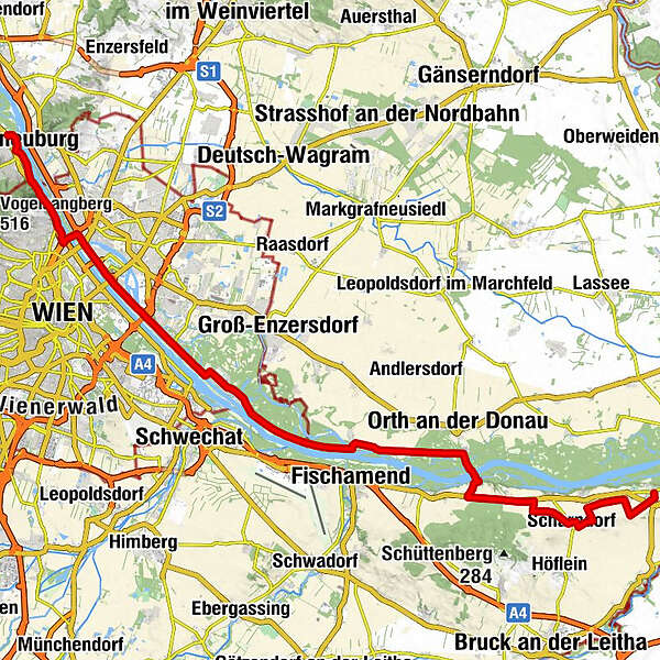
Klosterneuburg0,0 kmFlamingo4,1 kmKahlenbergerdorf4,9 kmSchiffsanlegestelle6,4 kmWien Nußdorf (164 m)6,8 kmFloridsdorfer Brücke10,3 kmNeue Donau10,7 kmVienna (542 m)13,0 kmKaisermühlen13,3 kmInseltreff Barbados15,7 kmToni's Inselgrill17,4 kmSchönau an der Donau32,8 kmHumers Uferhaus41,0 kmHaslauer Hof42,3 kmHaslau an der Donau (186 m)42,5 kmScharndorf (187 m)50,8 kmPetronell-Carnuntum57,2 km
- Beste Jahreszeit
-
sijveljožutrasvilipsrpkolrujlisstupro
- Höchster Punkt
- 196 m
- Zielpunkt
-
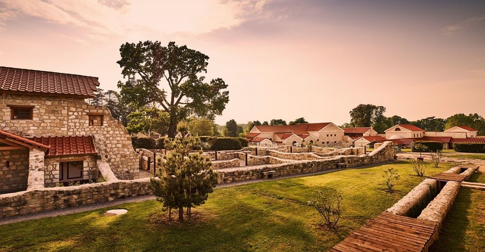
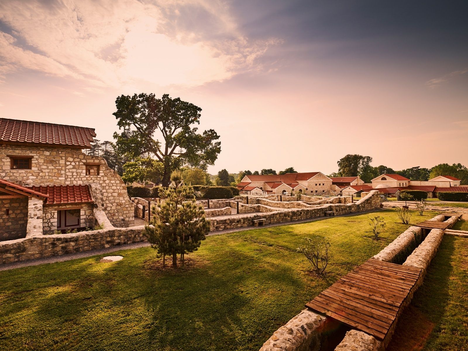
Petronell-Carnuntum
- Höhenprofil
-


- Autor
-
Die Tour Danube Cycle Path, stage 7, south bank: Klosterneuburg – Petronell wird von outdooractive.com bereitgestellt.
GPS Downloads


Opće informacije
Einkehrmöglichkeit
Kulturell/Historisch
Weitere Touren in den Regionen