© Waldviertel Tourismus, Erwin Haiden, nyx.at - Destination Waldviertel

- Kratak opis
-
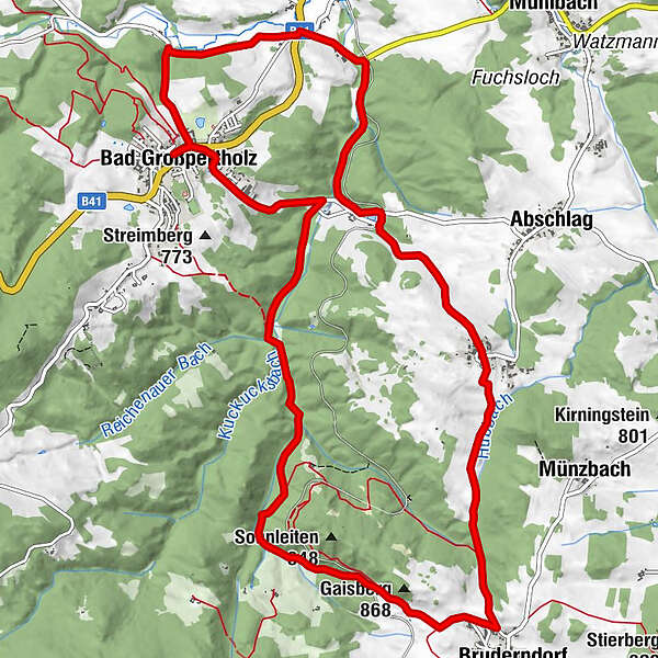
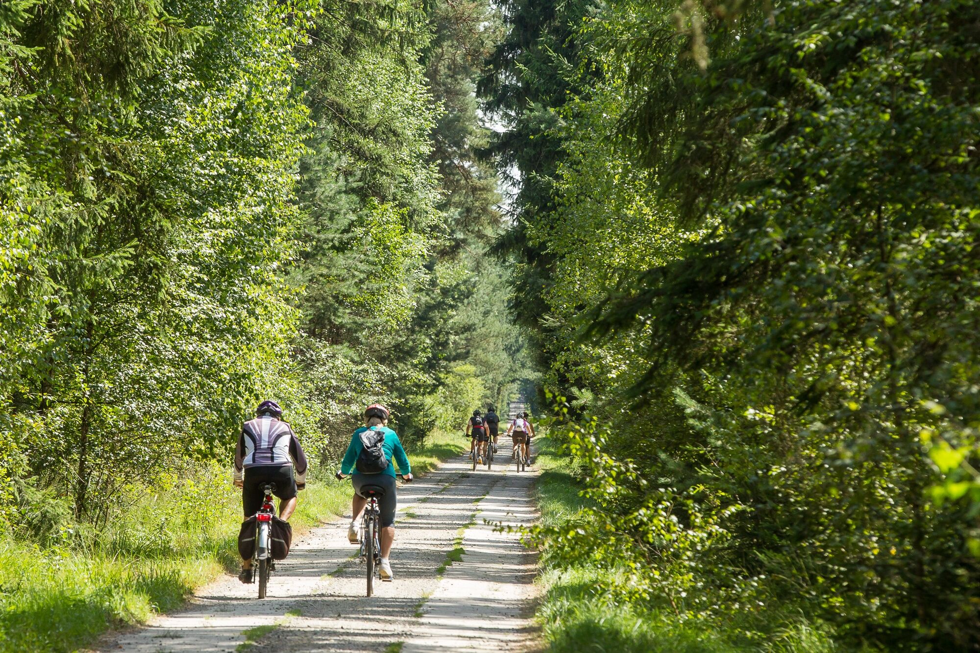
Bad Großpertholz - Steinbach-Hst. - Fassldorf - Weikertschlag - Bruderndorf - Bad Großpertholz
- Teškoća
-
srednje
- Vrednovanje
-
- Wegverlauf
-
Bad GroßpertholzNordwaldhofHahn-Buam-Hof0,1 kmSteinbach2,0 kmFassldorf4,0 kmWeikertschlag5,5 kmBruderndorf7,8 kmGaisberg (868 m)8,7 kmHahn-Buam-Hof14,2 kmBad Großpertholz14,3 km
- Beste Jahreszeit
-
sijveljožutrasvilipsrpkolrujlisstupro
- Höchster Punkt
- 814 m
- Zielpunkt
-
Bad Großpertholz
- Höhenprofil
-

- Autor
-
Die Tour Fassldorf-Strecke wird von outdooractive.com bereitgestellt.
GPS Downloads


Weitere Touren in den Regionen
-
Waldviertel
169
-
Oberes Waldviertel
67
-
Bad Großpertholz
37