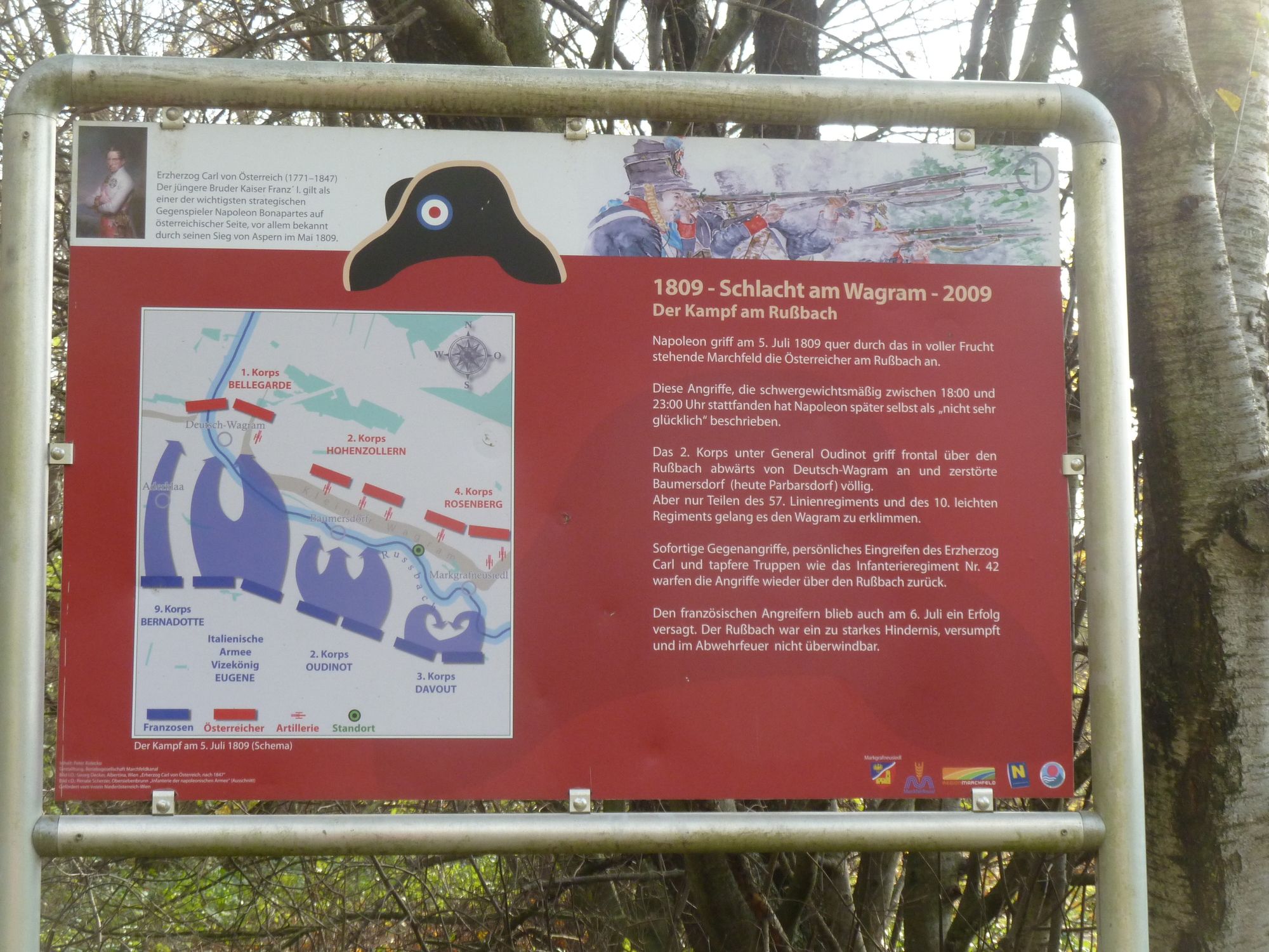
Hiking trail at the historical battle field – Battle of Wagram


- Kratak opis
-
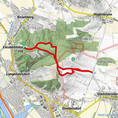
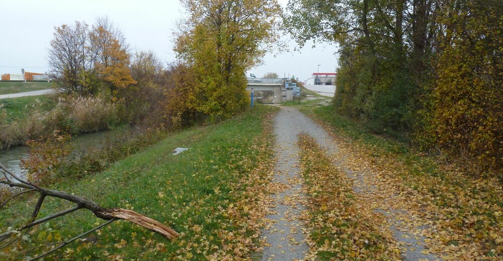
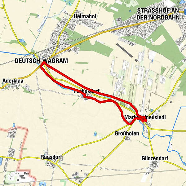
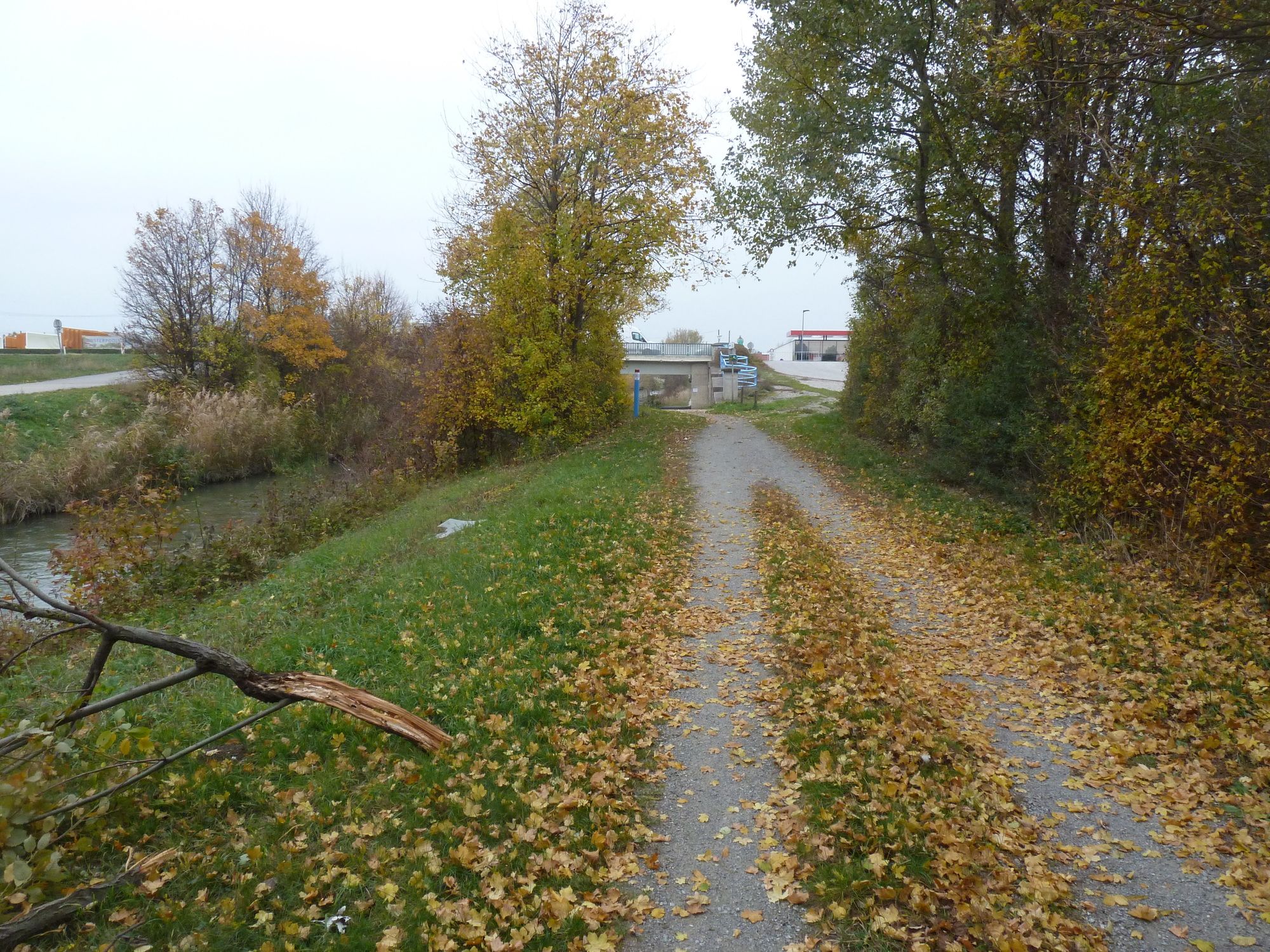
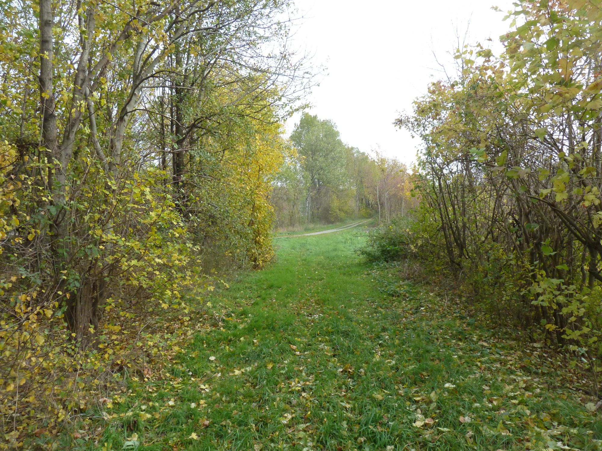
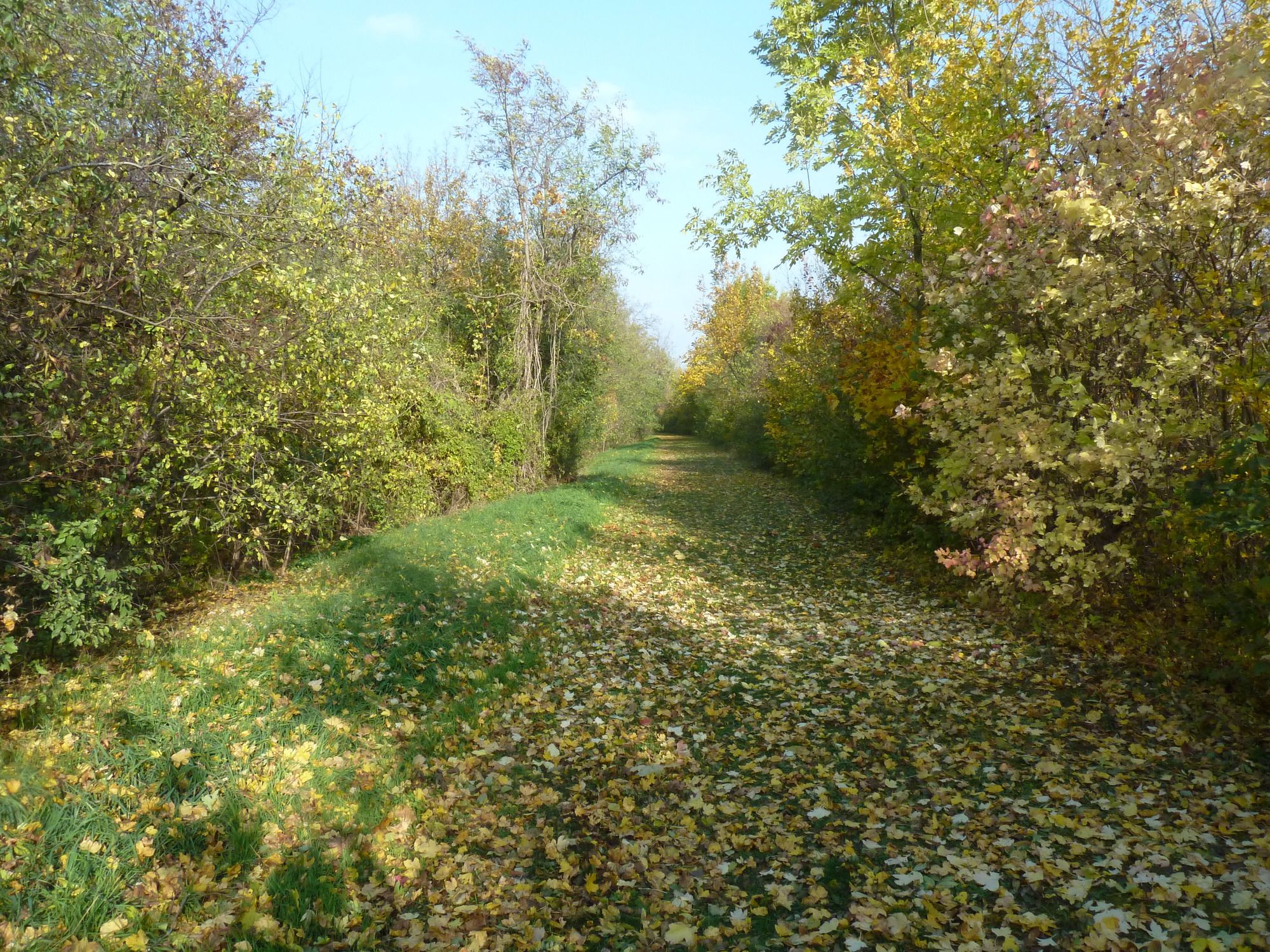
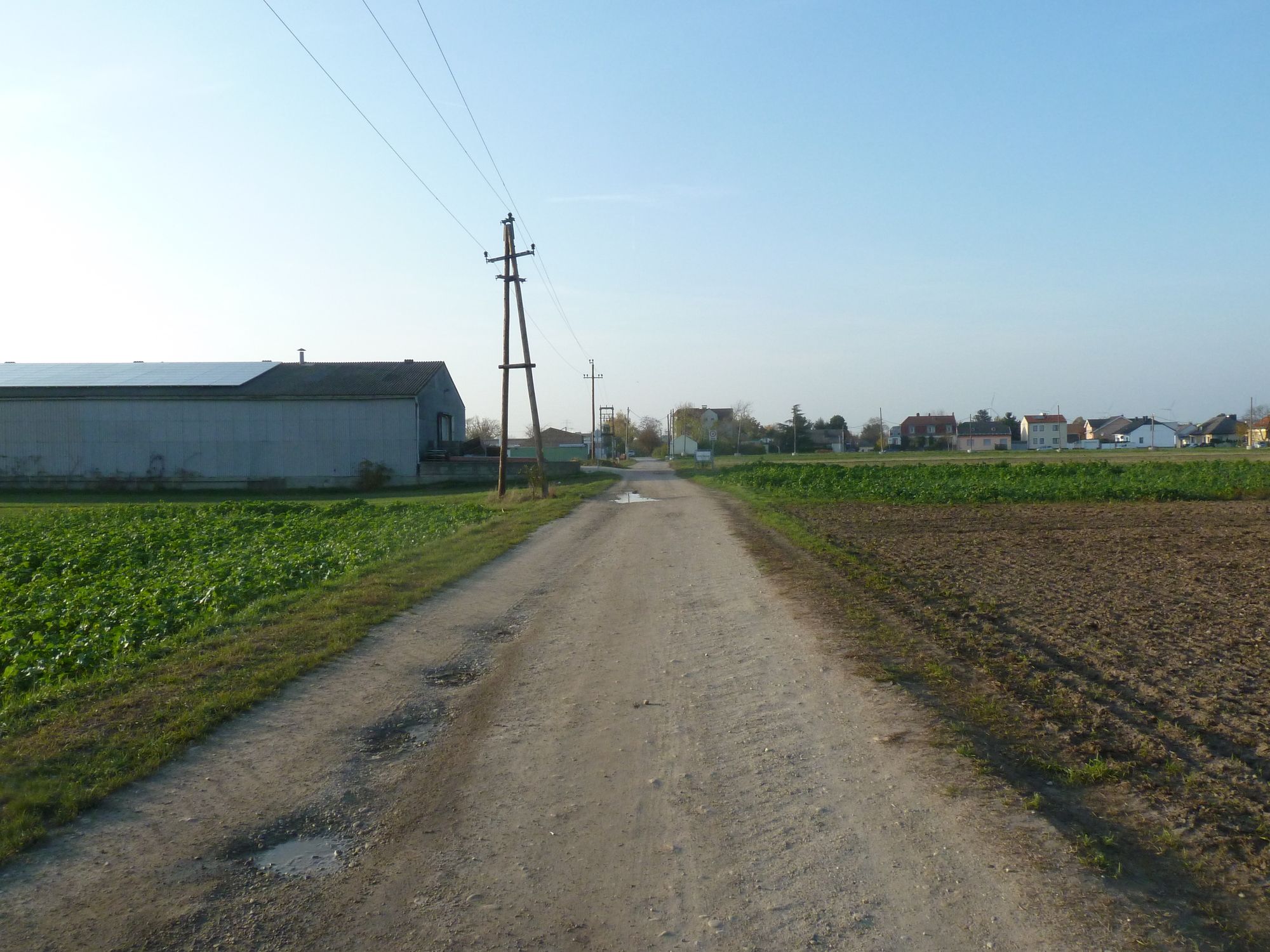
The hiking trail along the Austrian defense lines is starting at the Museum of the Battle of Wagram.
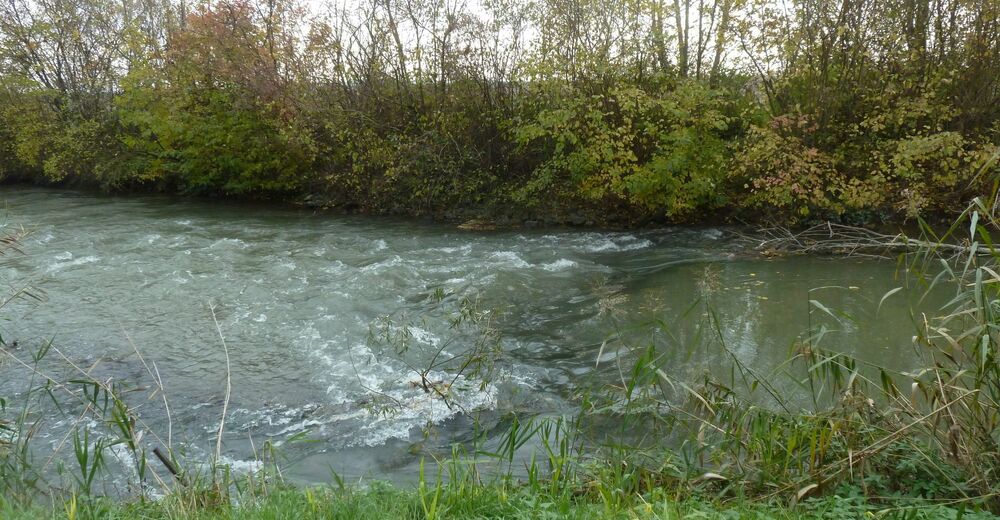
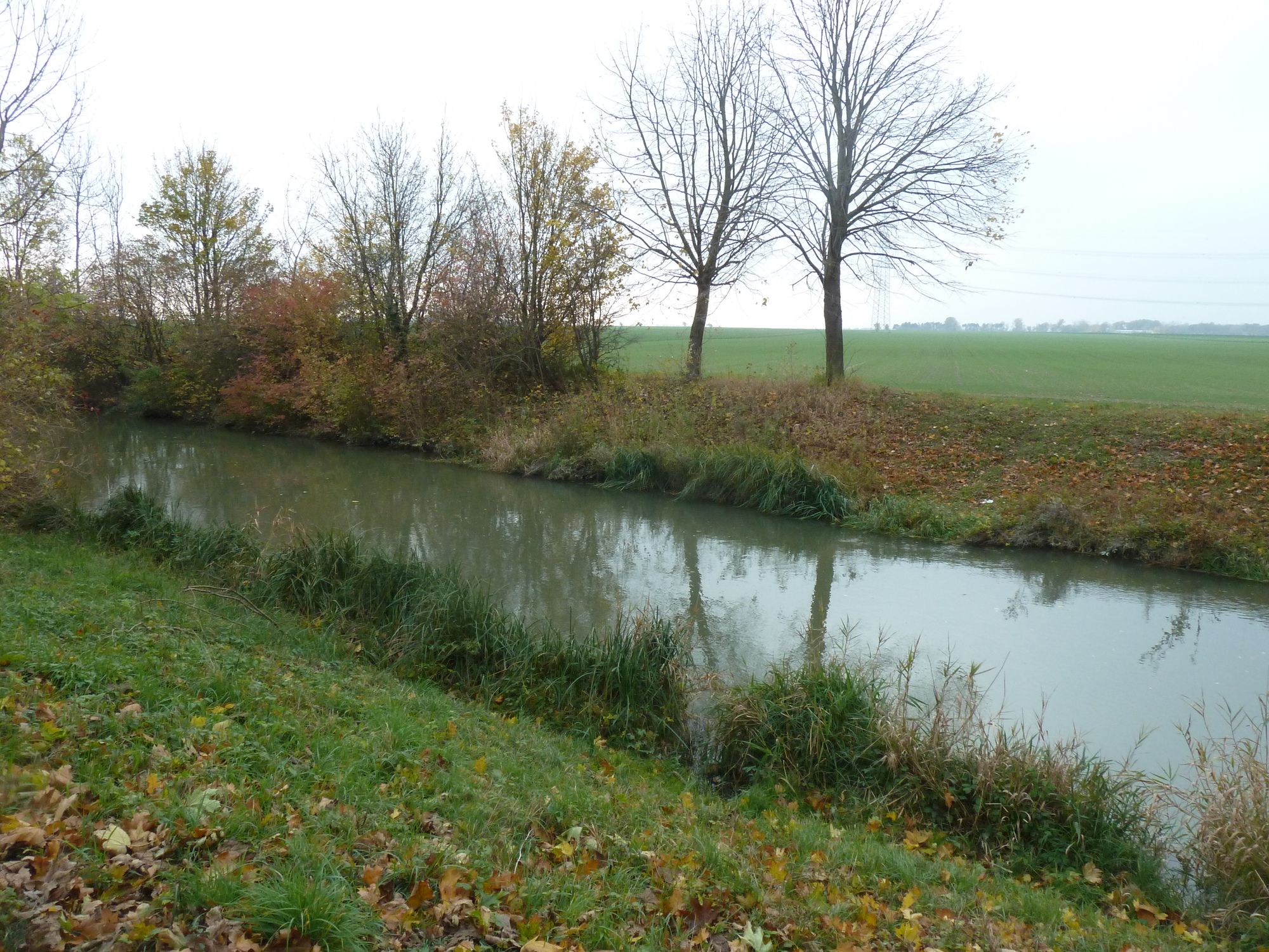
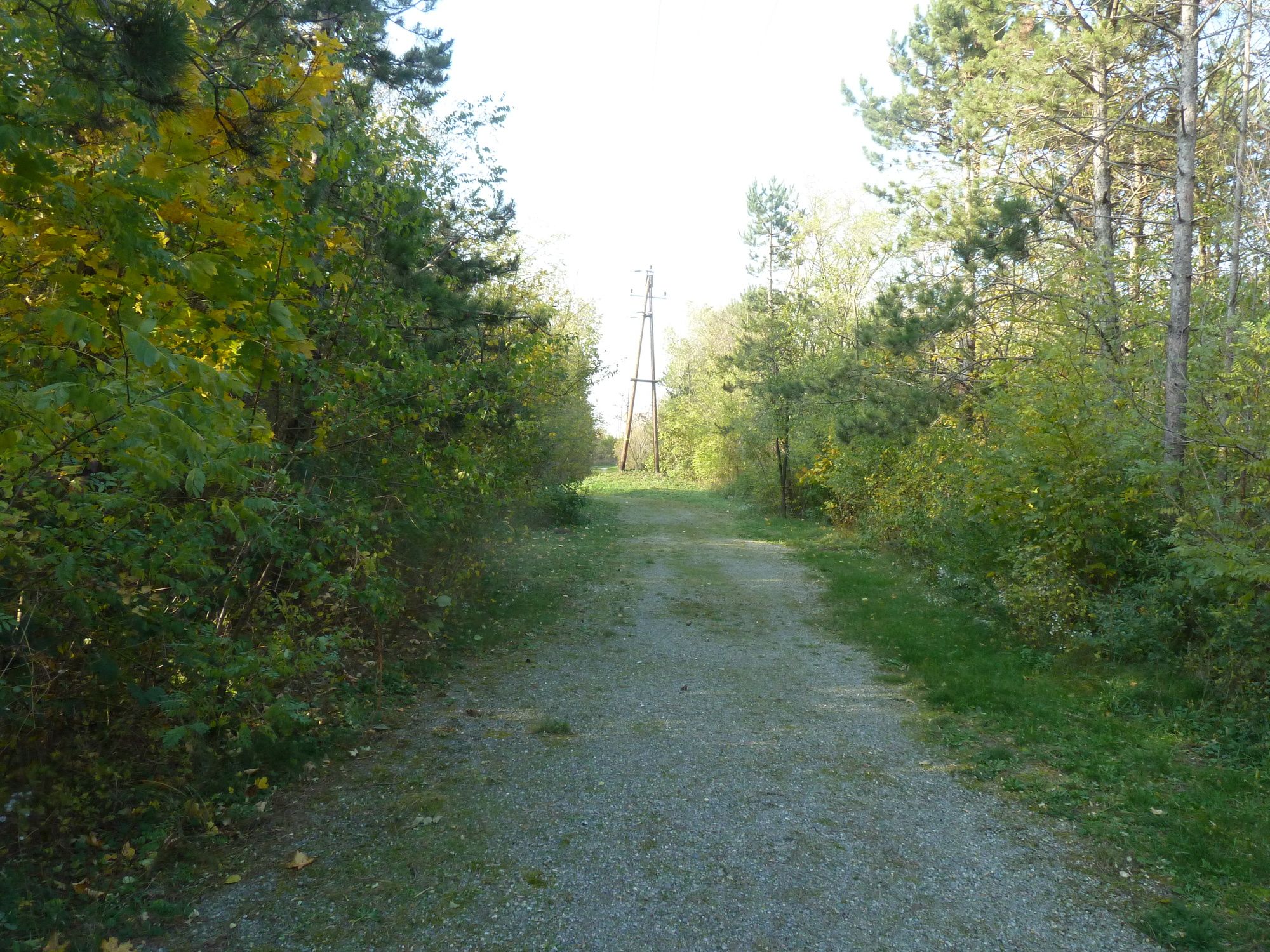
We walk along the Russbach the name of the creek in front of the Austrian defense Lines.
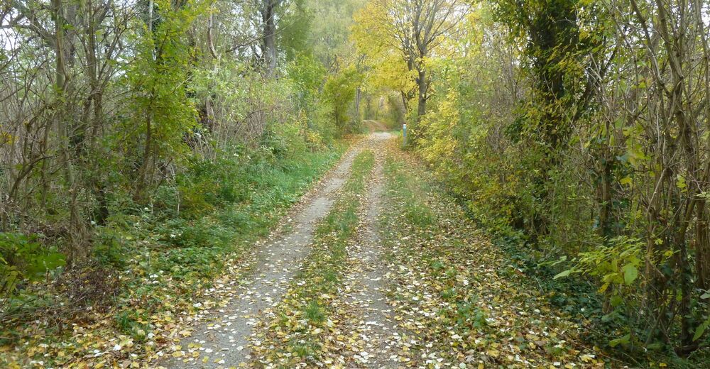
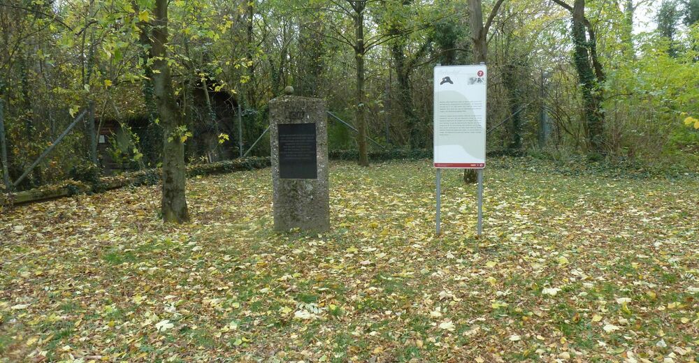
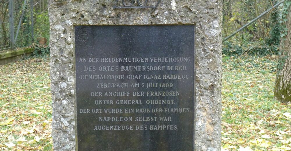
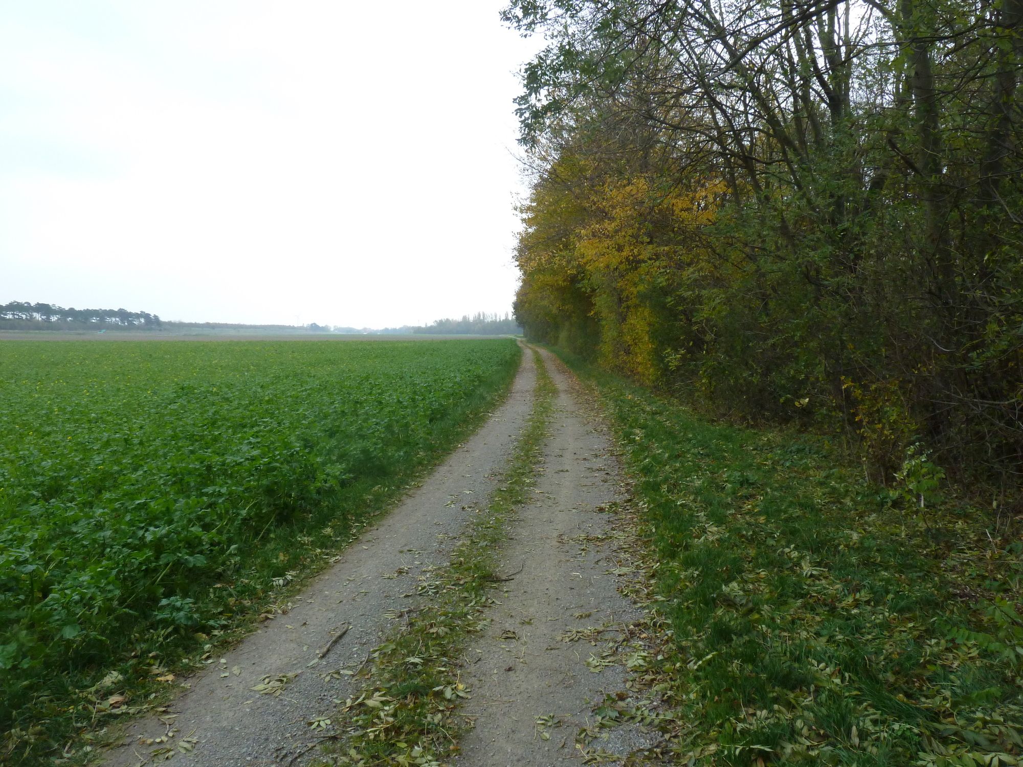
We walk all the way to the village Markgrafneusiedl at the left flank of the Austrian lines.
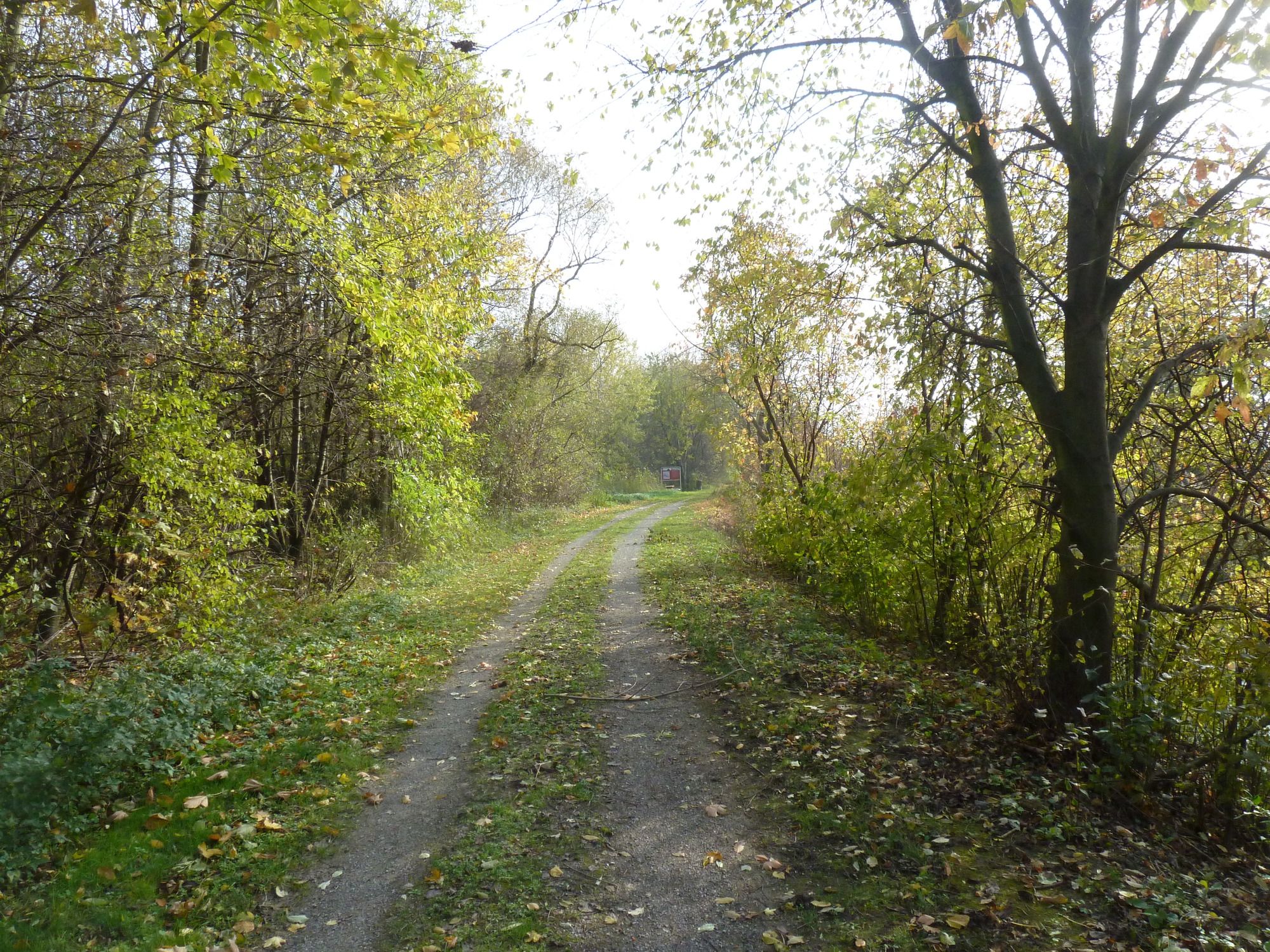
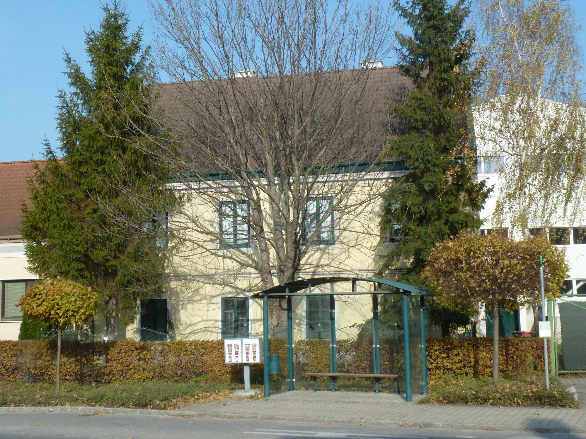
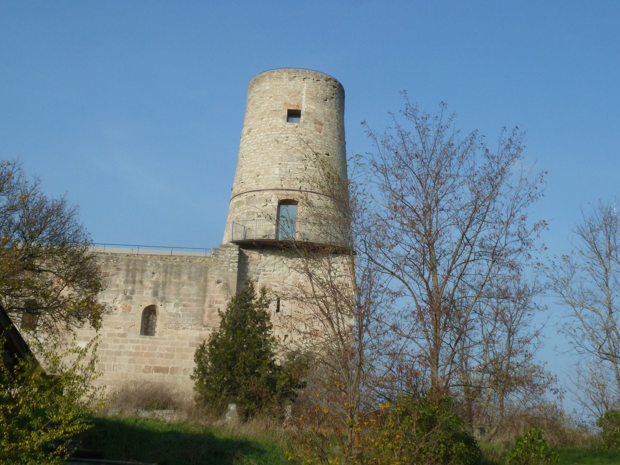
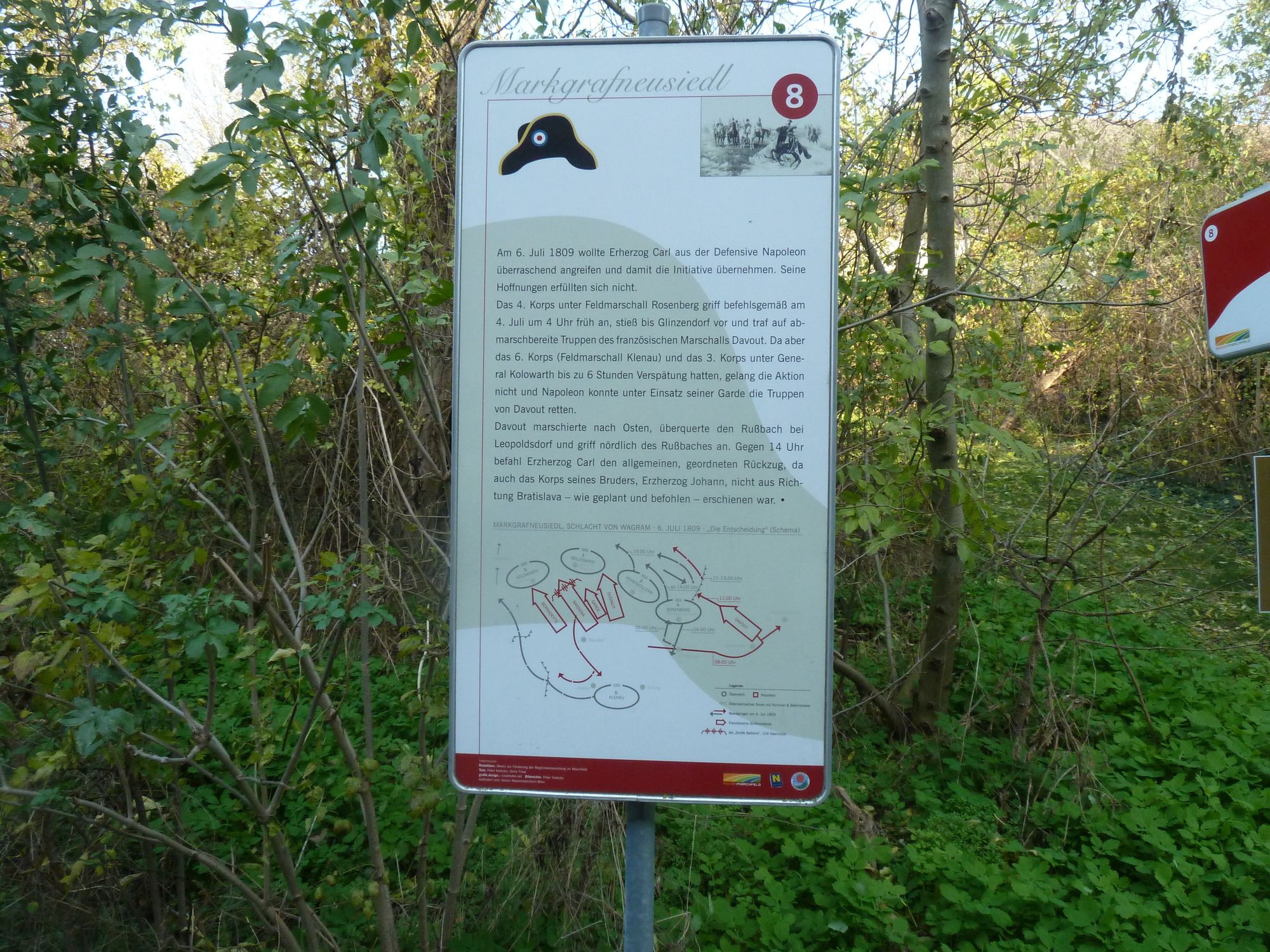
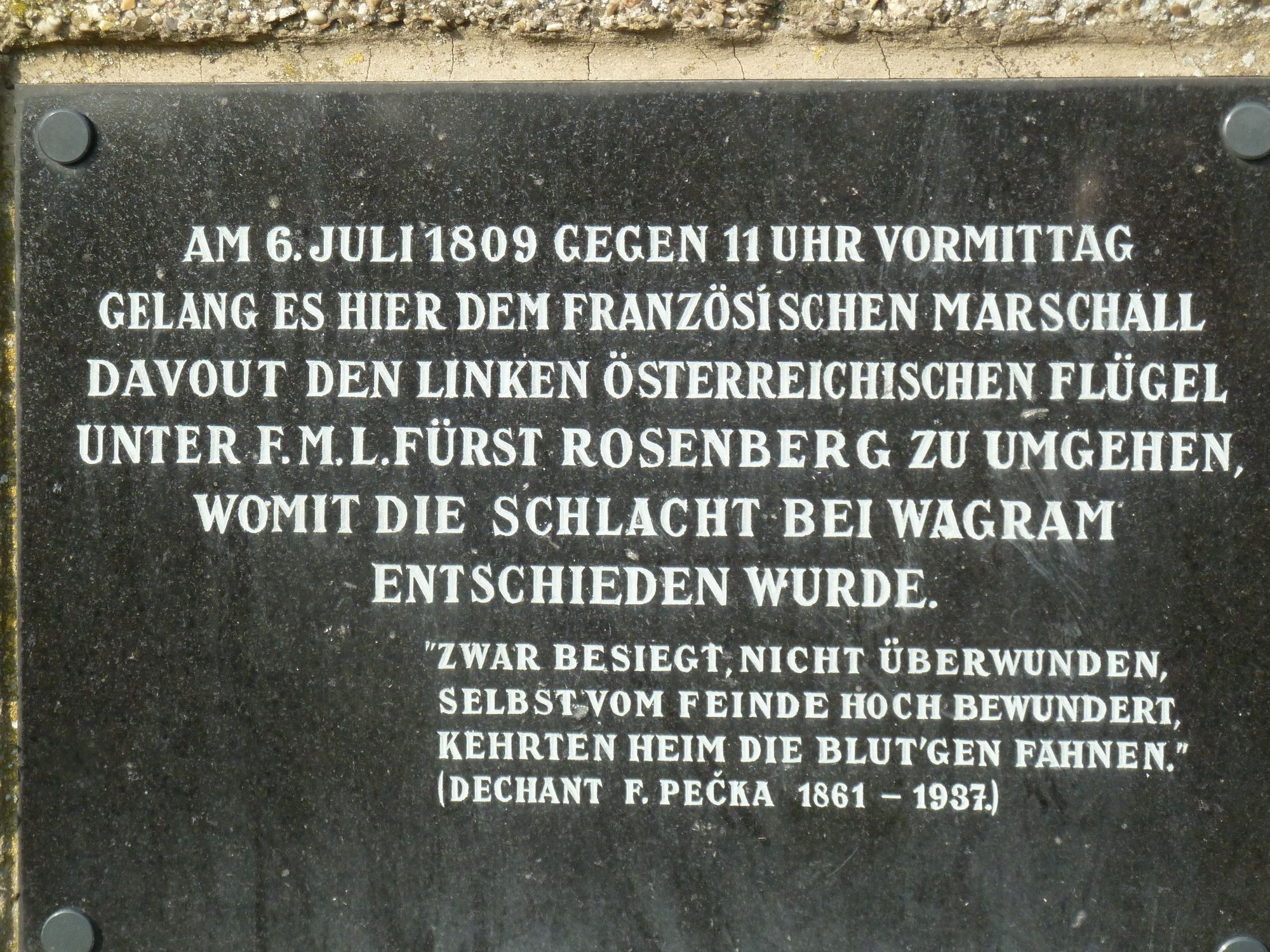
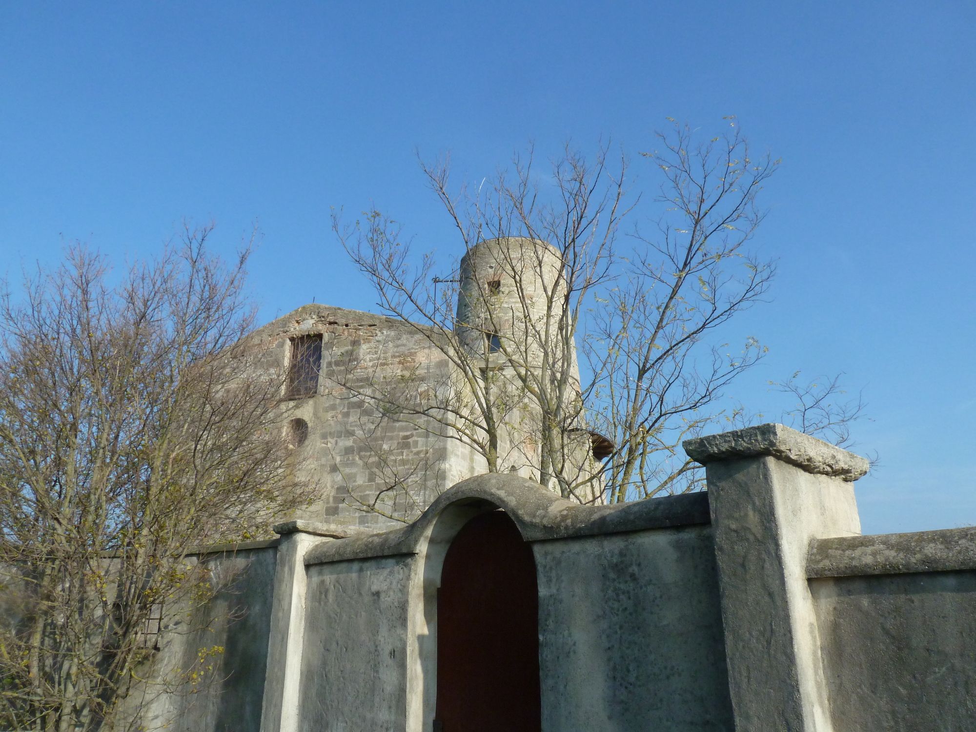
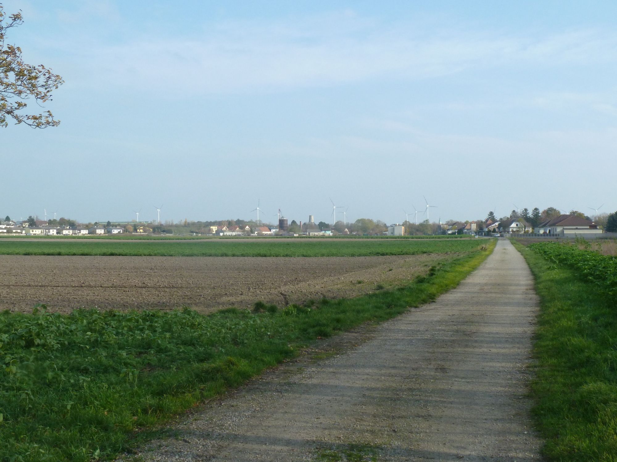
Already from vastness we will see the tower on the hilltop in Margrafneusiedl. This tower used to be a
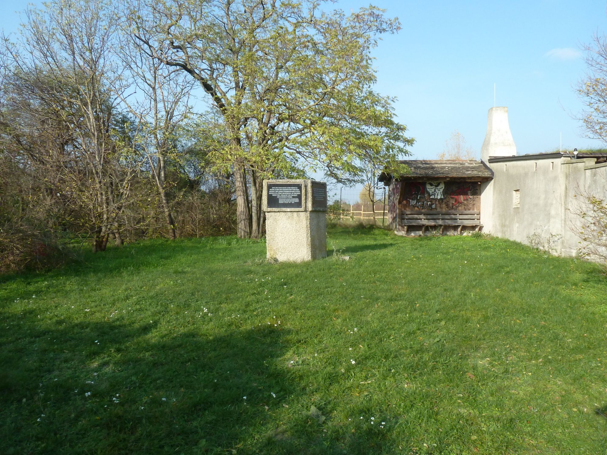
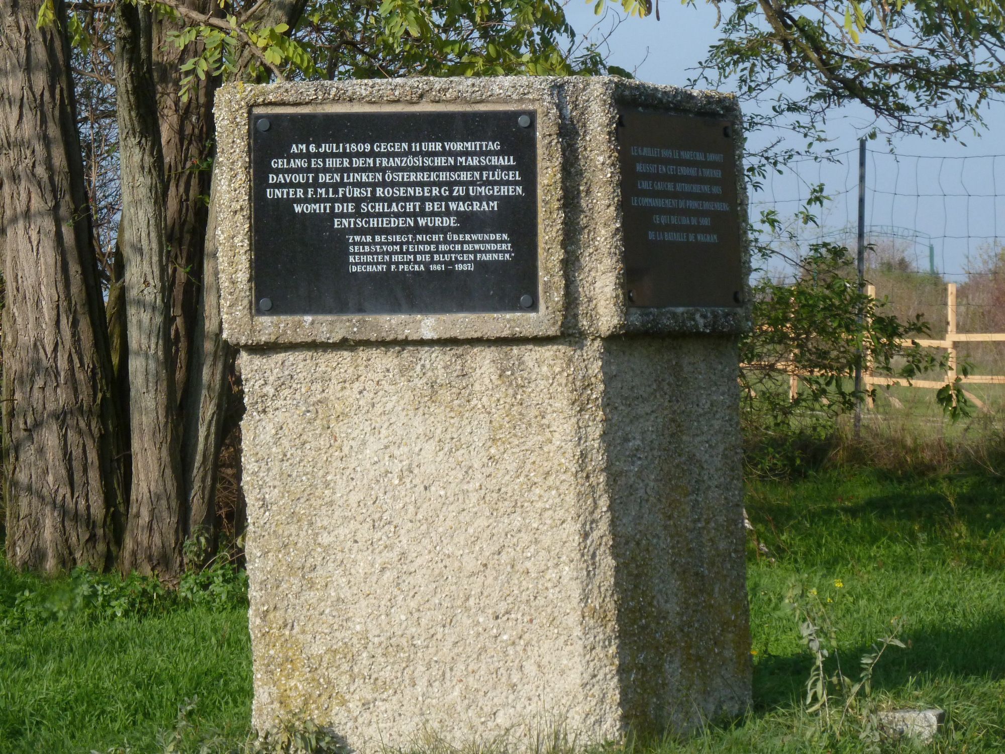
fortified church. On the scond day of the battle the French with Marshal Davout managed to get behind the
Austian Lines.
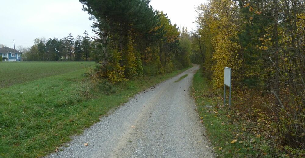
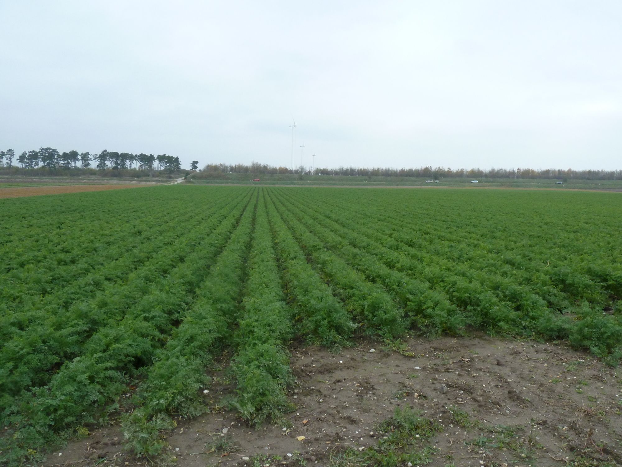
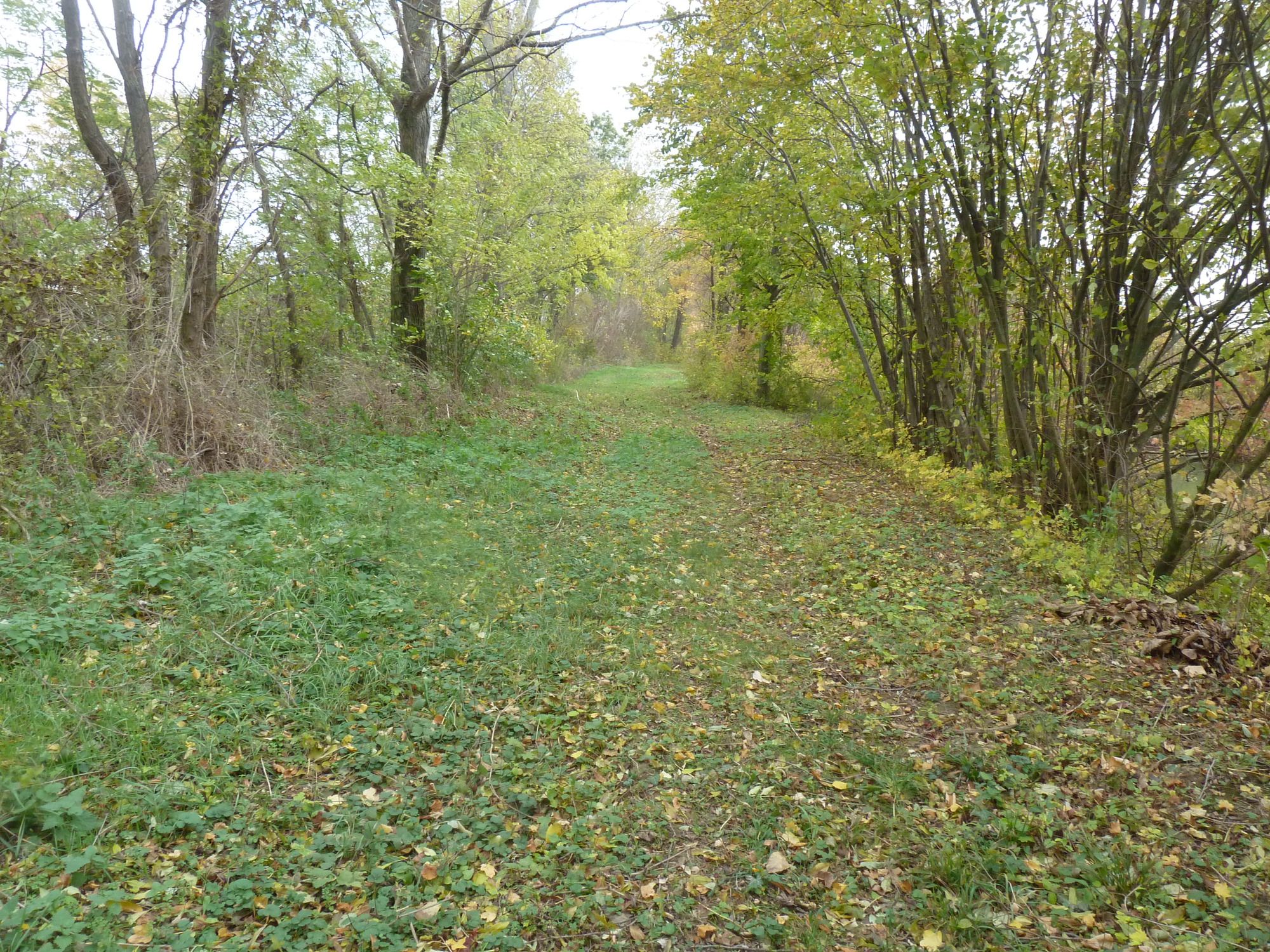
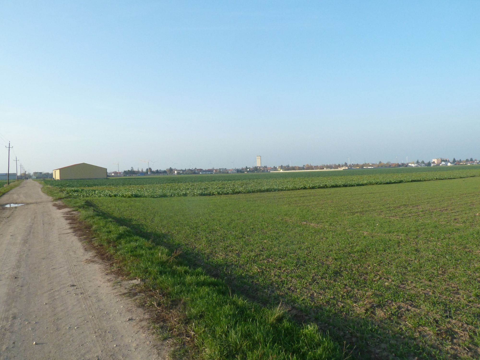
On the way back to Deutsch-Wagram we walk allong the edge of the terrain terrace and have a wide view over the
battle field. - Teškoća
-
lagano
- Vrednovanje
-
- Polazna točka
- Wegverlauf
-
Deutsch-WagramParbasdorf3,3 kmDreifaltigkeitskirche3,5 kmMariä Himmelfahrt7,8 kmMarkgrafneusiedl7,8 kmParbasdorf11,4 kmDeutsch-Wagram14,5 km
- Beste Jahreszeit
-
sijveljožutrasvilipsrpkolrujlisstupro
- Höchster Punkt
- 165 m
- Zielpunkt
-
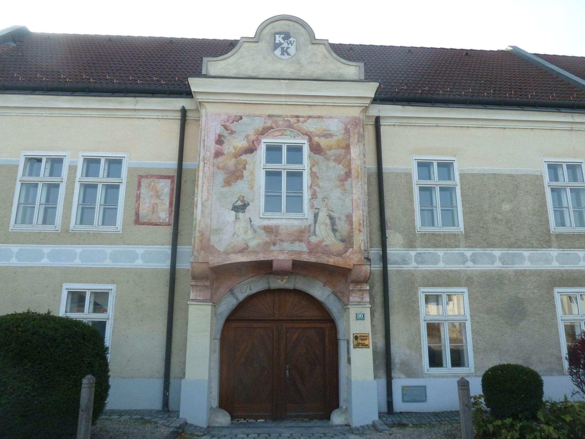
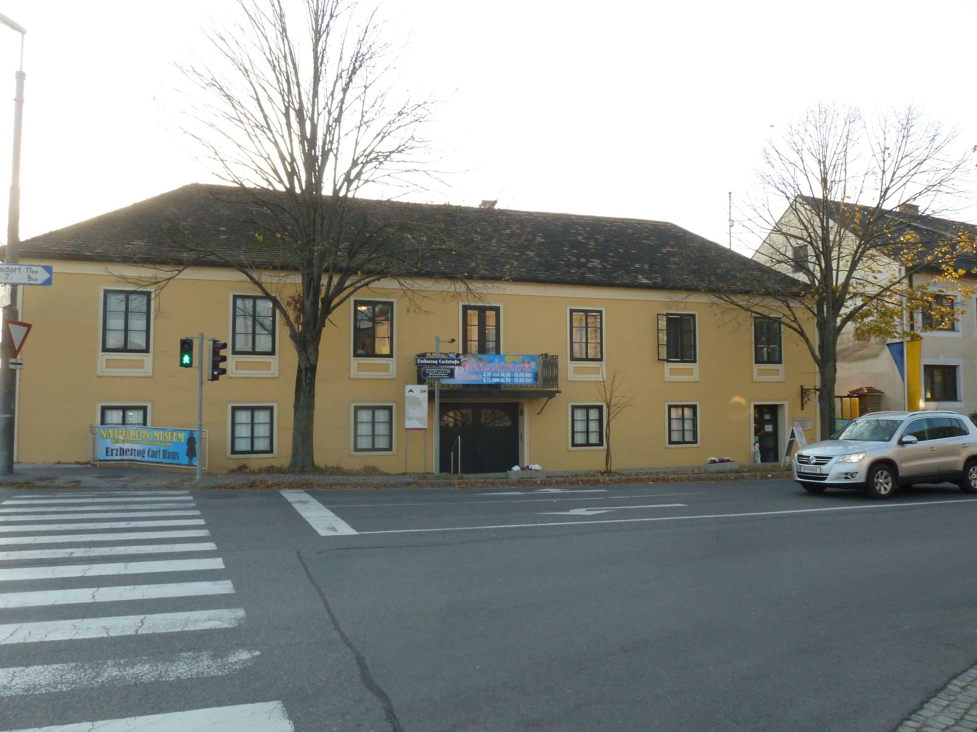
Museum Heimat- und Napoleonmuseum Erzherzog Carl Haus
- Rast/Einkehr
-
Gastronomie in Deutsch-Wagram


- Info-Telefon
-
+43 (0)2247 / 3790 (nur während der Öffnungszeiten des Museums)
- Link
- www.wagram1809.at
- Izvor
- Museumsgesellschaft der Stadt Deutsch-Wagram


Wegbeschaffenheit
-
Wienerwald
4218
-
Wien und Umgebung
2481
-
Parbasdorf
106