© Wienerwald Tourismus GmbH / Andreas Hofer

© Wienerwald Tourismus GmbH / Andreas Hofer
- Kratak opis
-
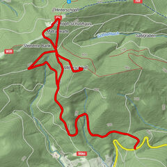
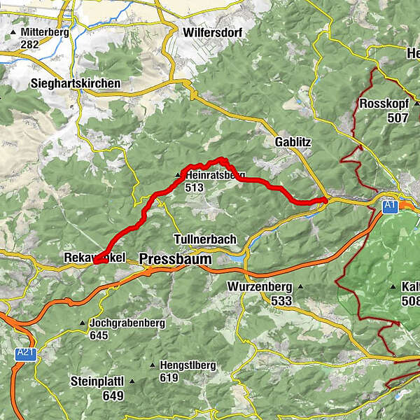
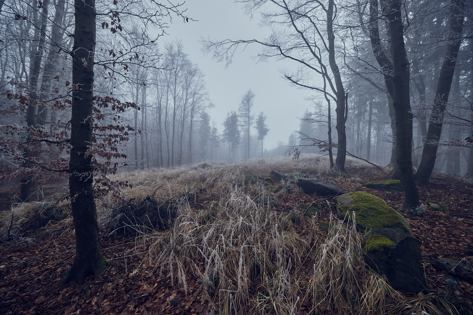
The Troppberg Panoramic Route leads through a true natural jewel: One of the 36 core zones of the Vienna Woods Biosphere Reserve. The 542 m high Troppberg offers a wonderful view which stretches from Vienna and Tulln, across to Wachau, and over to the Alpine foothills, the Schneeberg and the Ötscher. The route from the Troppberg down to Purkersdorf leads along a small section of the Jakobsweg trail.
- Teškoća
-
lagano
- Vrednovanje
-
- Wegverlauf
-
Rekawinkel0,0 kmGasthaus Mayer0,3 kmRekawinkel0,6 kmSt.-Antonius-Kapelle0,8 kmGroßer Stiefelberg (497 m)3,0 kmRauchengern4,9 kmHinterer Steinberg (442 m)5,6 kmGasthaus Mirli6,4 kmStrohzogl7,1 kmRieger Wienerwaldhof (472 m)7,6 kmTroppberg (542 m)10,1 kmBuchberg (440 m)13,3 kmKranawetten15,5 kmPurkersdorf (248 m)16,7 km
- Beste Jahreszeit
-
sijveljožutrasvilipsrpkolrujlisstupro
- Höchster Punkt
- 529 m
- Zielpunkt
-
Stop Station Purkersdorf Zentrum
- Höhenprofil
-


- Autor
-
Die Tour Troppberg Panoramic Route wird von outdooractive.com bereitgestellt.
GPS Downloads


Opće informacije
Einkehrmöglichkeit
Kulturell/Historisch
Aussichtsreich
Weitere Touren in den Regionen
-
Wienerwald
4206
-
Kamptal - Wagram - Tullner Donauraum
1494
-
Tullnerbach
890