© Wiener Alpen in Niederösterreich - Schneeberg Hohe Wand - Katrin Zeleny
© Wiener Alpen in Niederösterreich - Schneeberg Hohe Wand - Wiener Alpen in Niederösterreich Tourismus GmbH
© Wiener Alpen in Niederösterreich - Schneeberg Hohe Wand - Katrin Zeleny
© Wiener Alpen in Niederösterreich - Schneeberg Hohe Wand - Katrin Zeleny
© Wiener Alpen in Niederösterreich - Schneeberg Hohe Wand - Katrin Zeleny
Podaci o ruti
2,39km
478
- 629m
150hm
155hm
01:45h

- Kratak opis
-
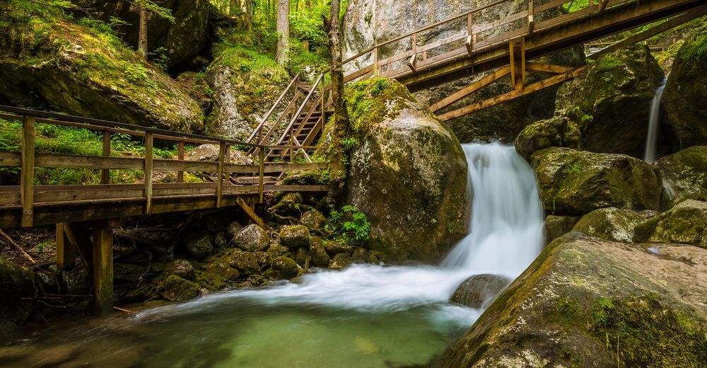
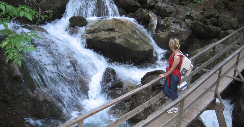
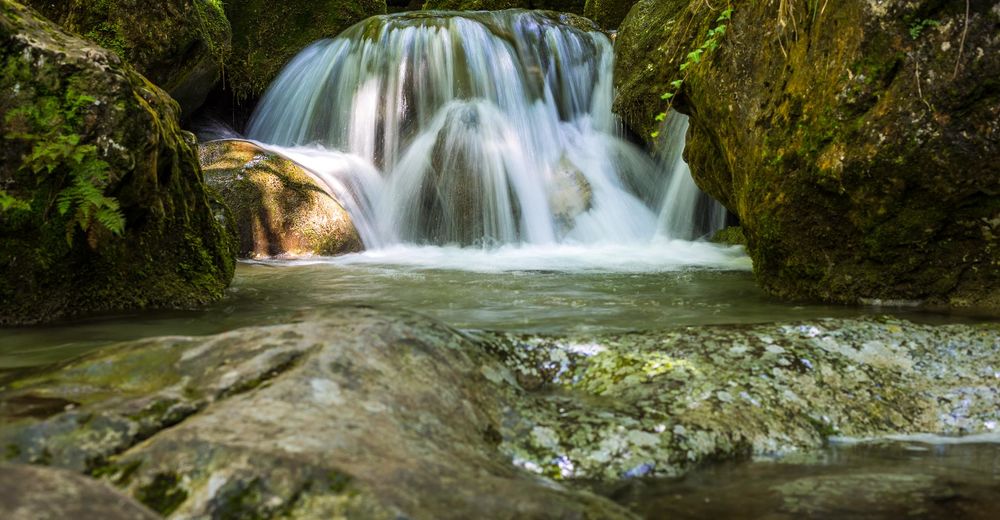
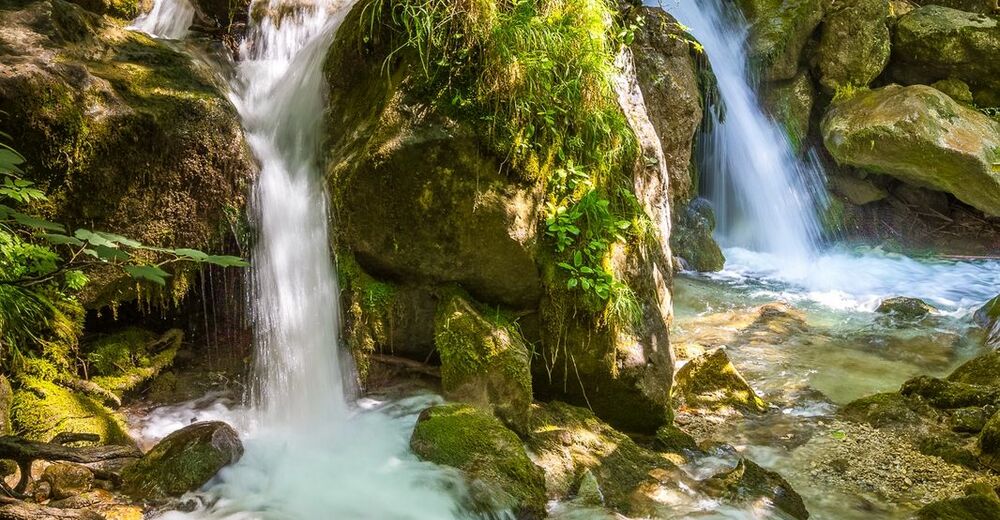
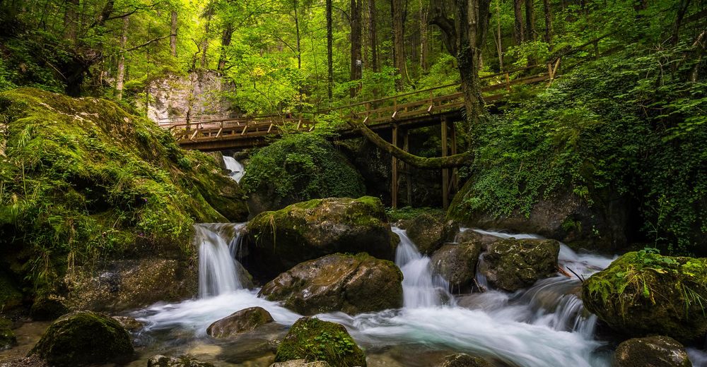
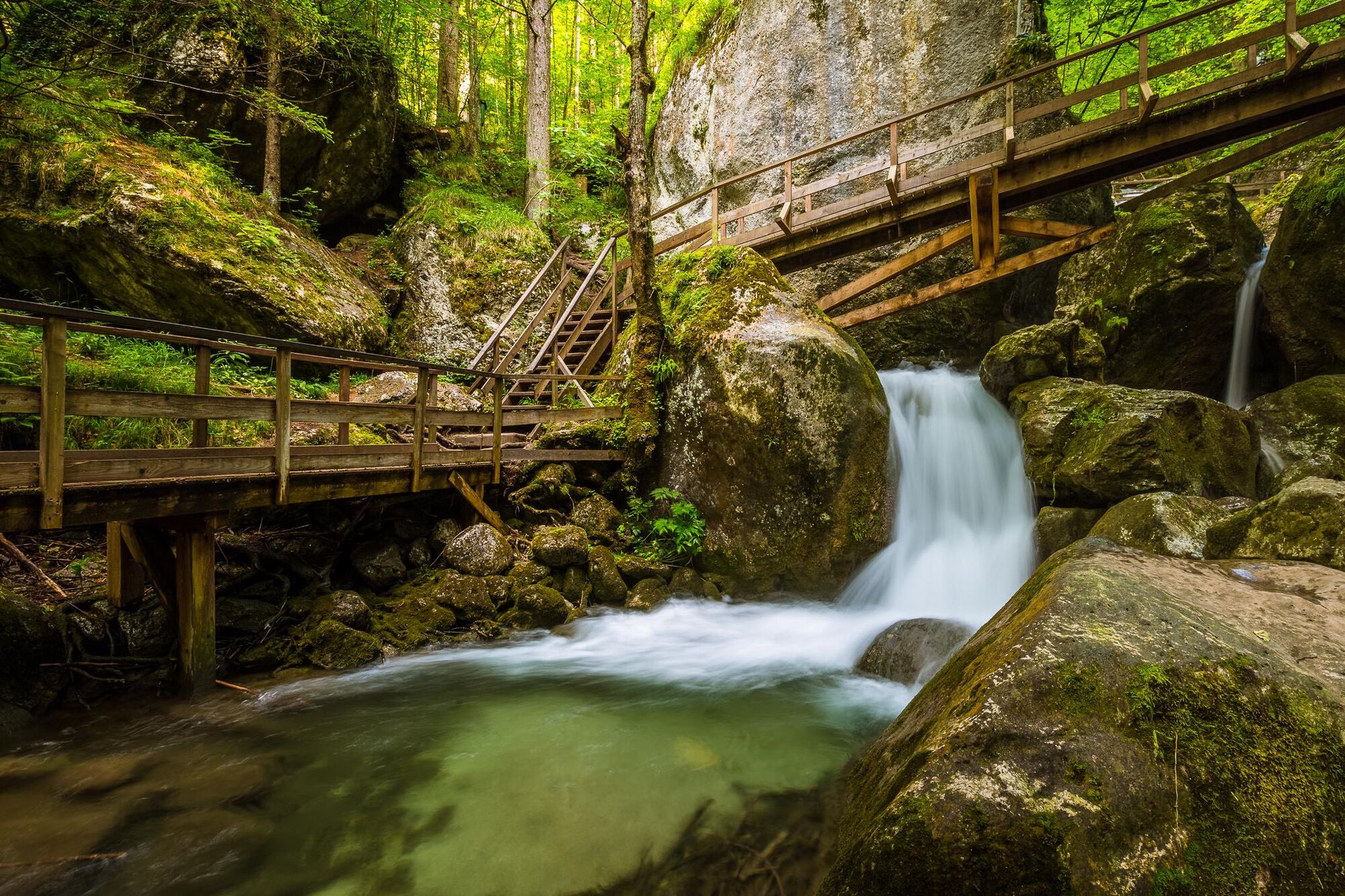
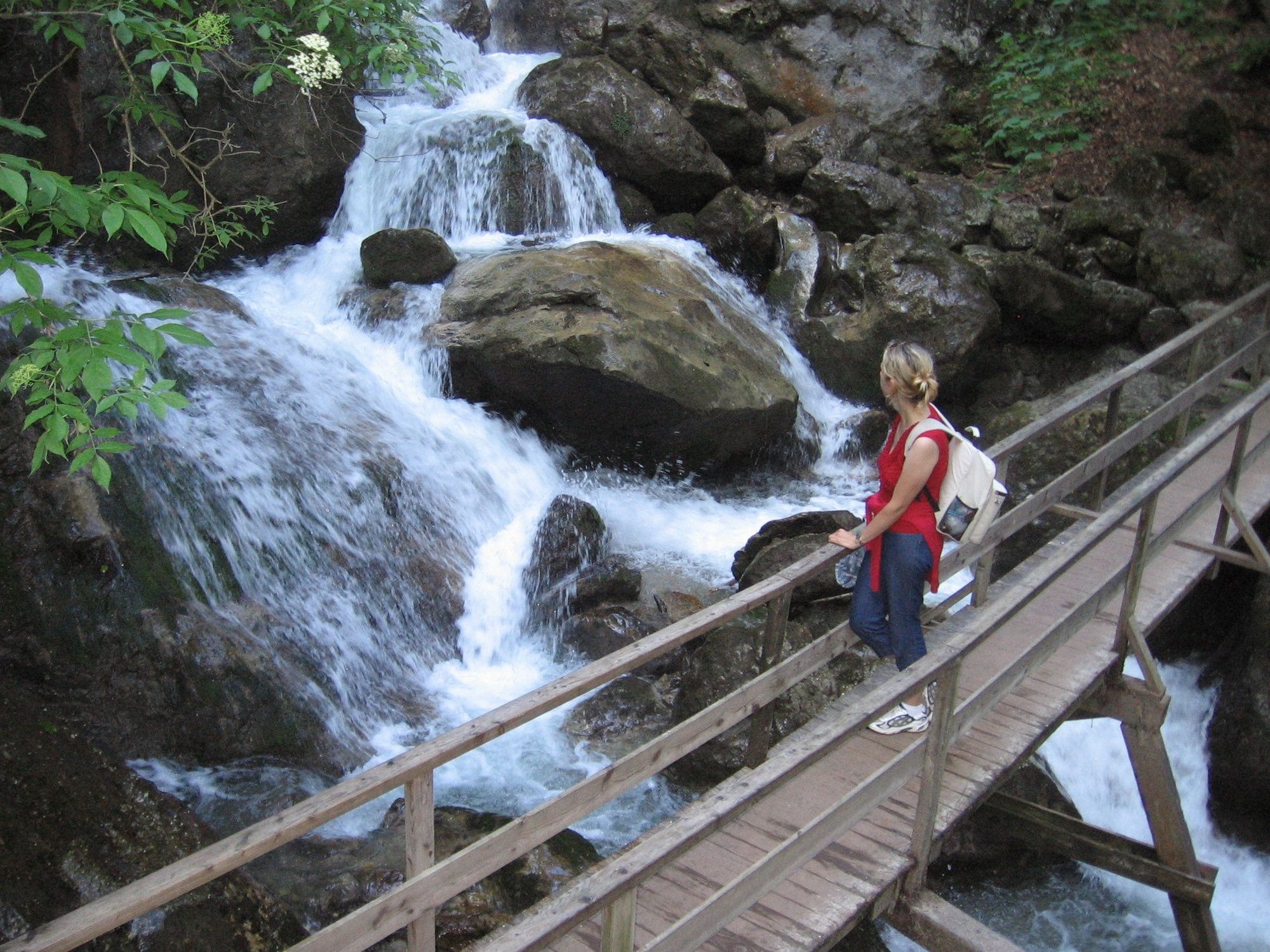
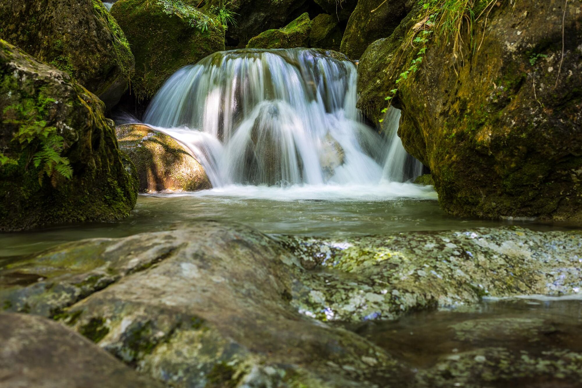
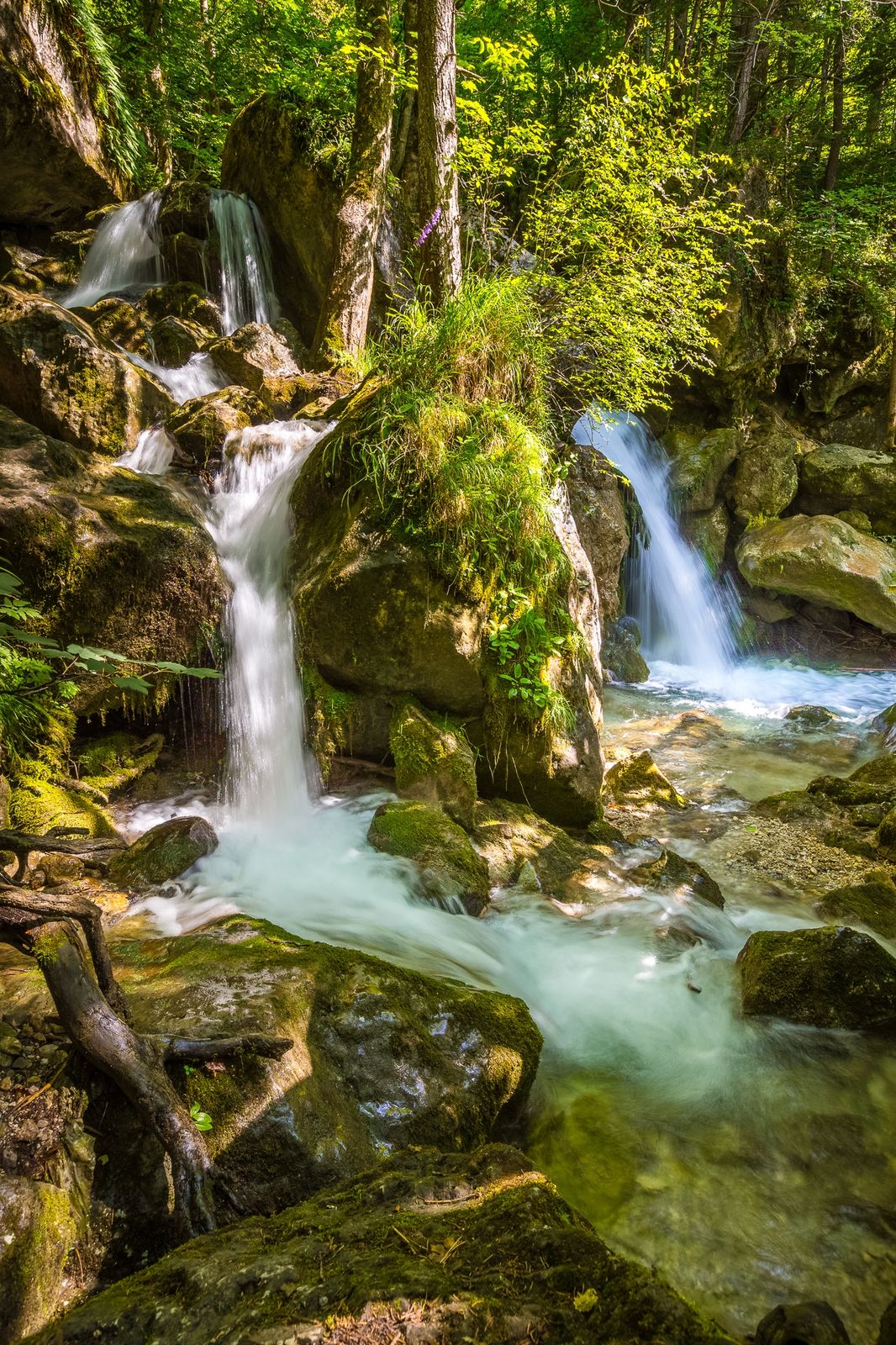
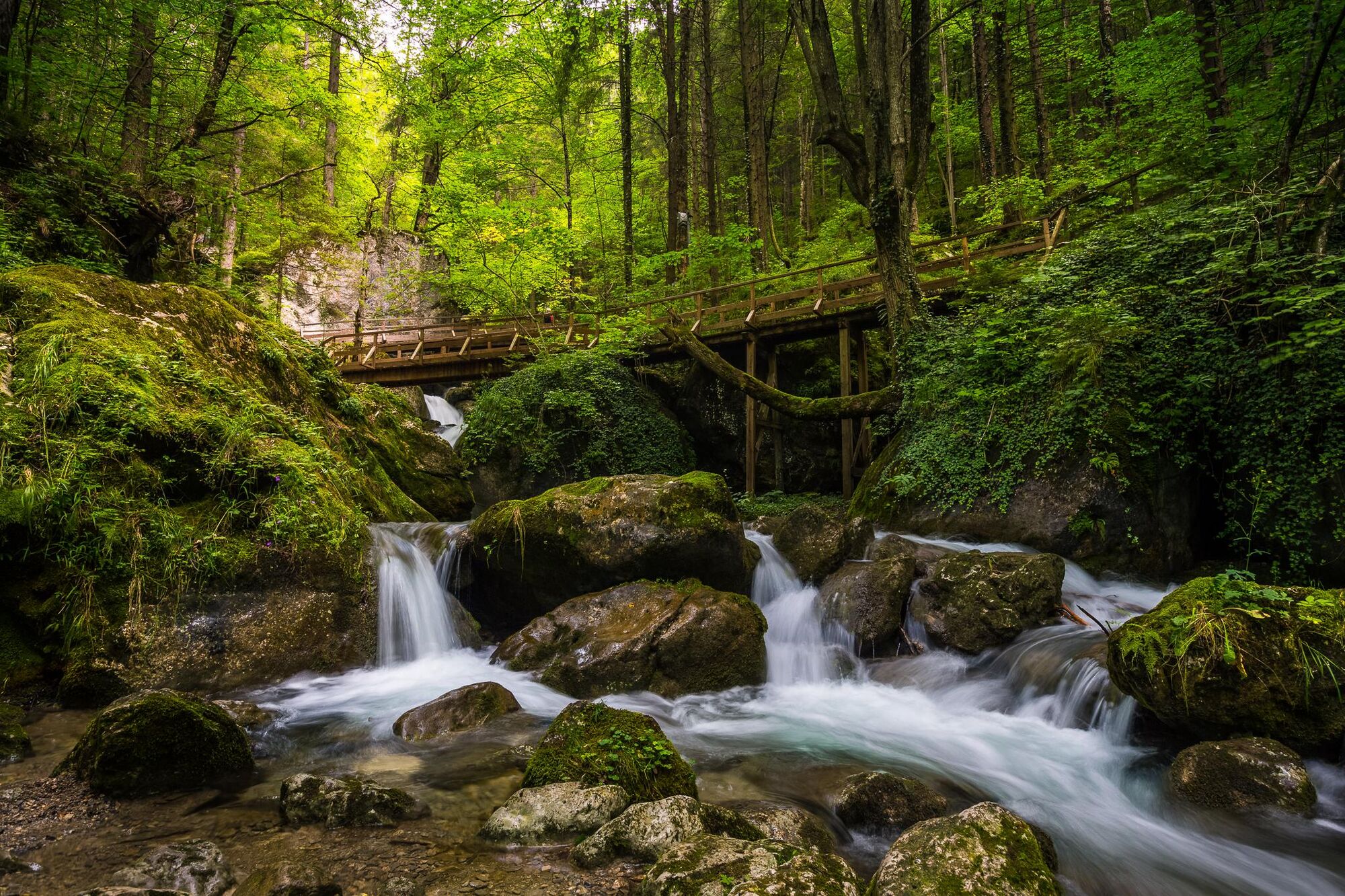
With beautiful hiking routes and breathtaking water world, the Myrafälle (Myra Falls) are the perfect destination for hikers and families of all ages.
- Teškoća
-
lagano
- Vrednovanje
-
- Wegverlauf
-
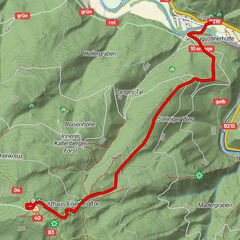
MuggendorfMyra-Stubn0,1 kmEnge Kluft0,5 kmHaussteinhöhle0,5 kmHaussteinlucke0,6 kmKleine Haussteinlucke0,6 kmHaussteinkluft0,6 kmHausstein (668 m)1,8 km
- Beste Jahreszeit
-
sijveljožutrasvilipsrpkolrujlisstupro
- Höchster Punkt
- 629 m
- Zielpunkt
-
Muggendorf Parkplatz beim Myrateich
- Höhenprofil
-

-

-
AutorDie Tour Myrafälle hiking and water world, Muggendorf wird von outdooractive.com bereitgestellt.
GPS Downloads


Opće informacije
Einkehrmöglichkeit
Flora
Fauna
Weitere Touren in den Regionen
-
Wienerwald
4219
-
Schneebergland - Wiener Alpen
2457
-
Muggendorf / Thal
708