© © Wiener Alpen in NÖ Tourismus GmbH, Foto: Michael Reidinger - Wiener Alpen in Niederösterreich Tourismus GmbH

© © Wiener Alpen in NÖ Tourismus GmbH, Foto: Michael Reidinger - Wiener Alpen in Niederösterreich Tourismus GmbH

© z.V.g. von Kampsteiner Schwaig, Foto Otto Pfleger - Wiener Alpen in Niederösterreich Tourismus GmbH

© z.V.g von Kranichberger Schwaig, Foto Friederike Thaler - Wiener Alpen in Niederösterreich Tourismus GmbH
- Kratak opis
-
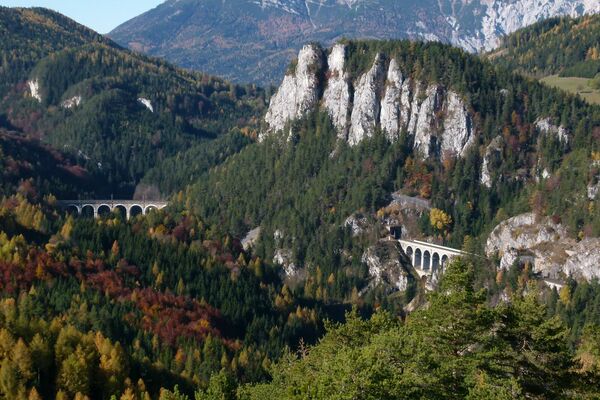
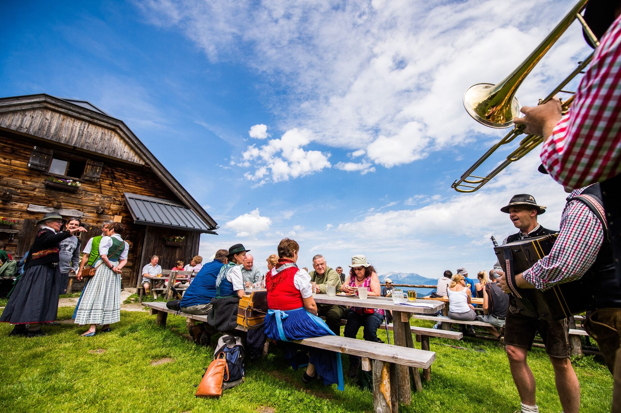
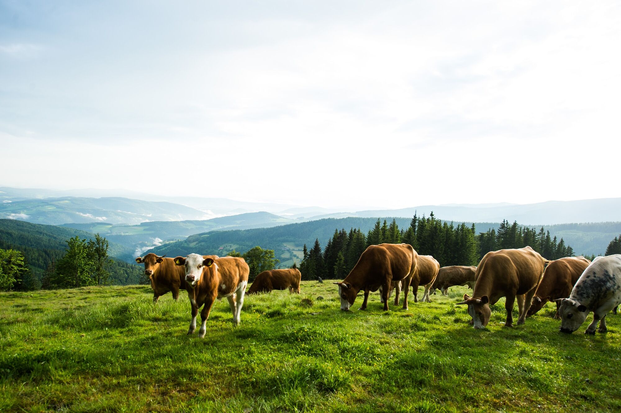
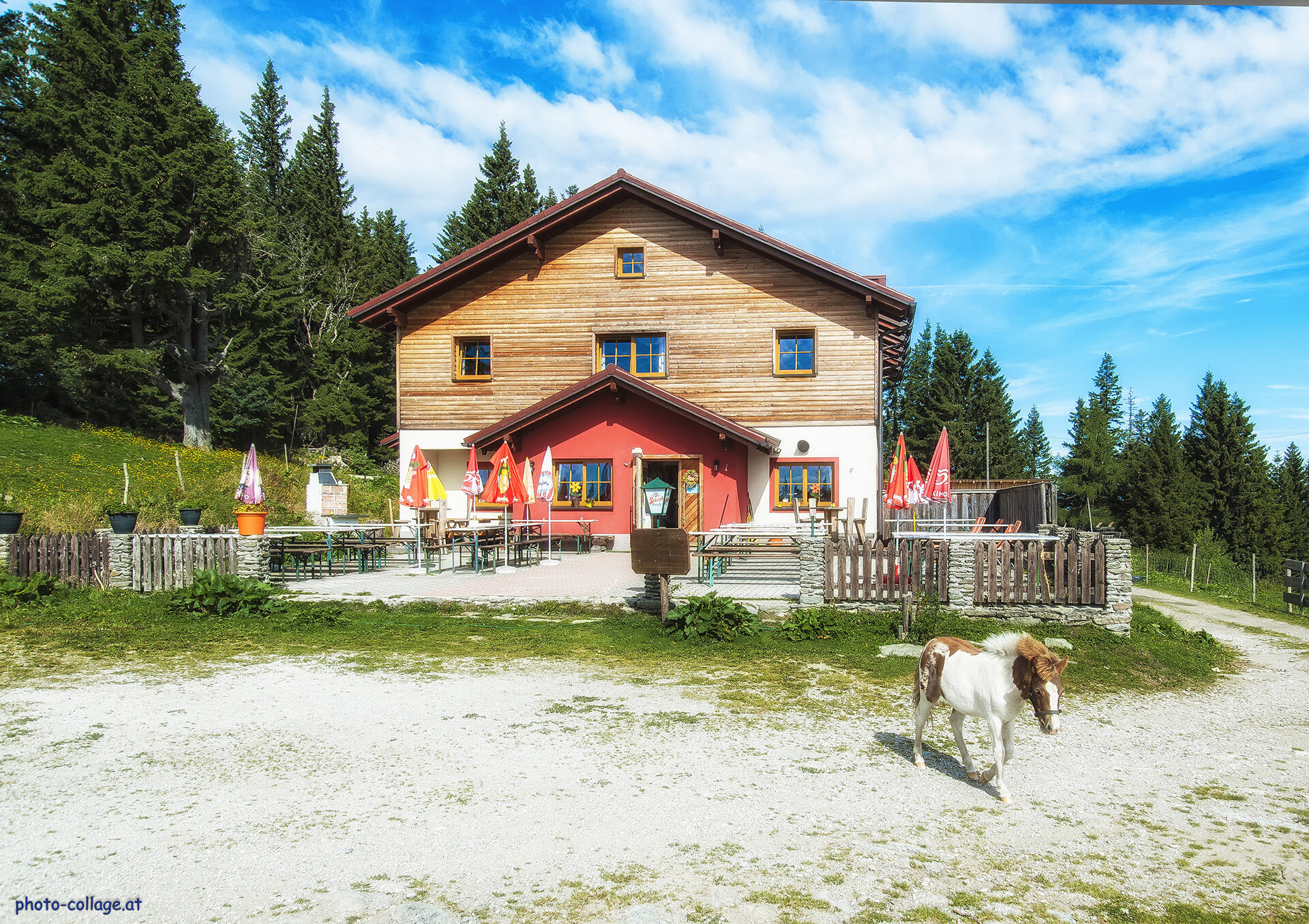
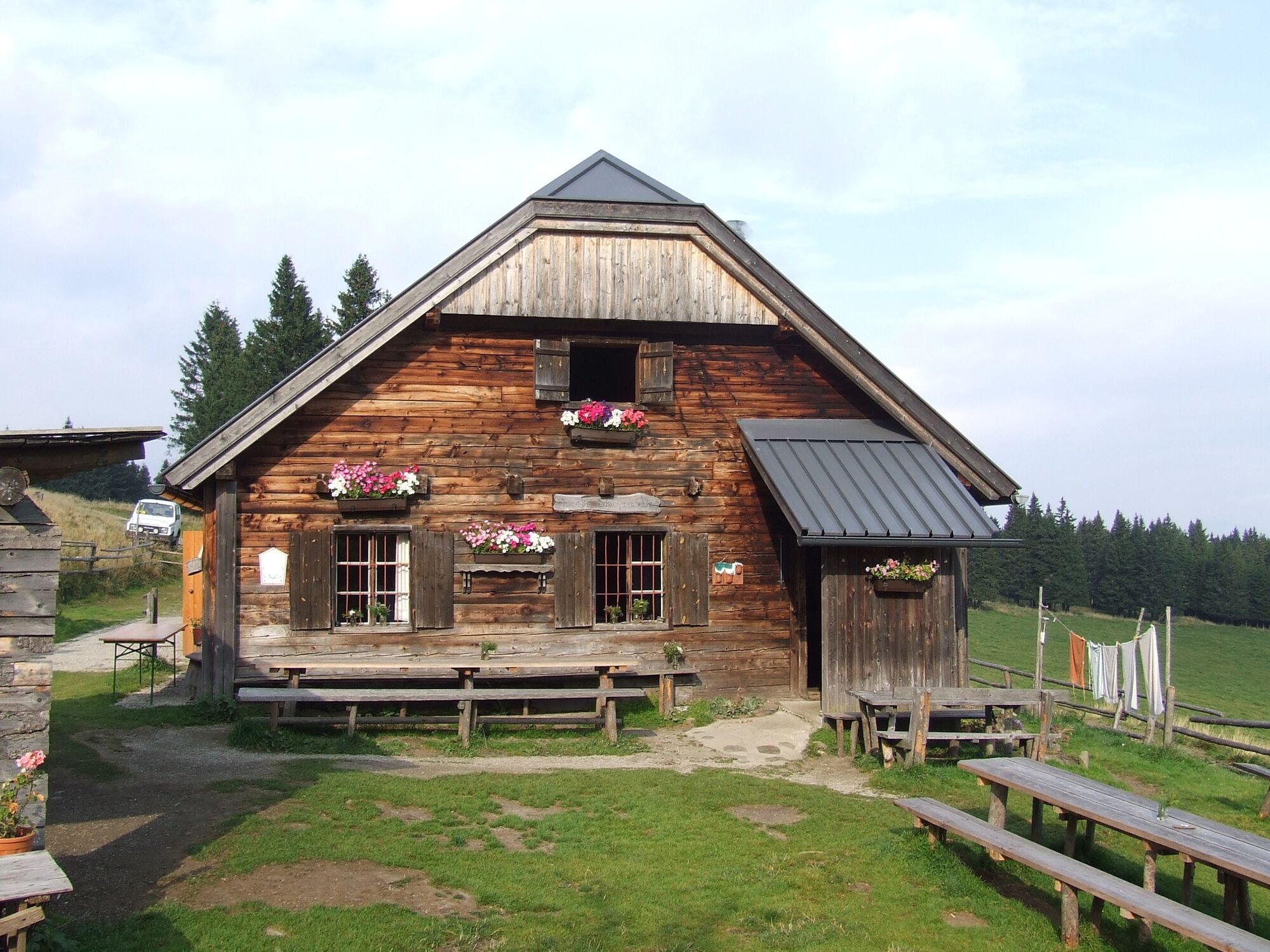
A hike across the Schwaigen on the Wechsel. In the extensive Wechsel landscape there is a specific feature, the so-called "Schwaigen": sprawling alpine pastures with alpine huts. They characterise the landscape and are attractive nature experiences at the same time.
- Teškoća
-
srednje
- Vrednovanje
-
- Wegverlauf
-
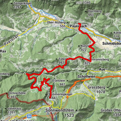
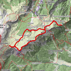
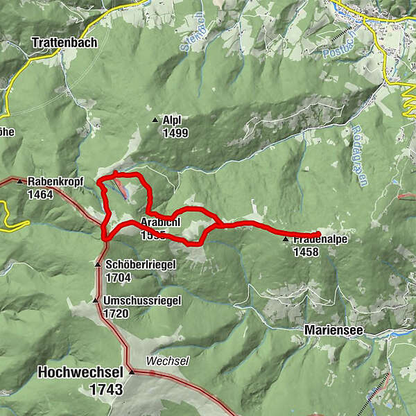
Schwarzer Herrgot8,9 kmFeistritzer Schwaig (1.438 m)9,7 kmArabichl (1.595 m)11,4 kmDreiländereck12,3 kmKranichberger Schwaig12,7 km
- Beste Jahreszeit
-
sijveljožutrasvilipsrpkolrujlisstupro
- Höchster Punkt
- 1.588 m
- Zielpunkt
-
Steyersberger Schwaig
- Höhenprofil
-

- Autor
-
Die Tour Schwaigen hike at the Wechsel wird von outdooractive.com bereitgestellt.
GPS Downloads


Opće informacije
Einkehrmöglichkeit
Aussichtsreich
Weitere Touren in den Regionen
-
Wiener Alpen
3036
-
Semmering - Rax
2304
-
Trattenbach - Feistritzsattel
666