© ©Wiener Alpen, Foto: Walter Strobl - Wiener Alpen Tourismus GmbH
© © Wiener Alpen in NÖ Tourismus GmbH, Foto: Walter Strobl - Wiener Alpen in Niederösterreich Tourismus GmbH

© Wiener Alpen in Niederösterreich - Sophie Weinberger
© Wiener Alpen in Niederösterreich - Sophie Weinberger
© Wiener Alpen in Niederösterreich - Sophie Weinberger

- Kratak opis
-
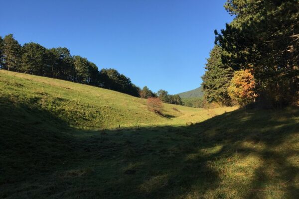
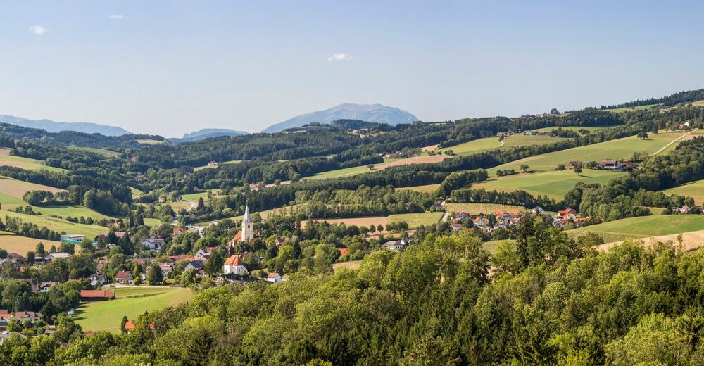
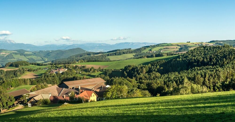
Regional Route B is a high-altitude hike with numerous views across the whole of the Viennese Alps region. The Regional Routes are part of the network of paths making up the Viennese Alps (WAB) route. Hikes along these routes lead you to unique views and also insights. The Regional Routes are linked to the network of paths making up the Viennese Alps route. This results in circular hikes in conjunction with the long-distance path.
- Teškoća
-
srednje
- Vrednovanje
-
- Wegverlauf
-
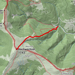
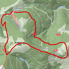
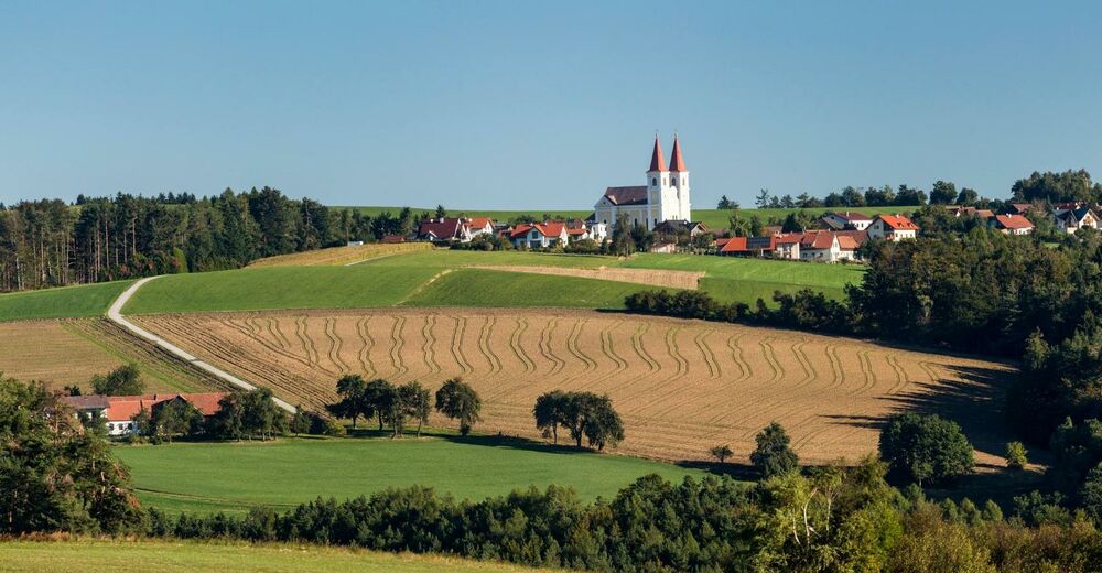
Krumbach - MarktSt. Stefan0,1 kmWiesfleck4,9 kmWetterkreuzriegel (855 m)5,1 kmGasthof Maria Schnee12,2 kmKaltenberg12,4 kmMaria Schnee12,6 km
- Beste Jahreszeit
-
sijveljožutrasvilipsrpkolrujlisstupro
- Höchster Punkt
- 867 m
- Zielpunkt
-
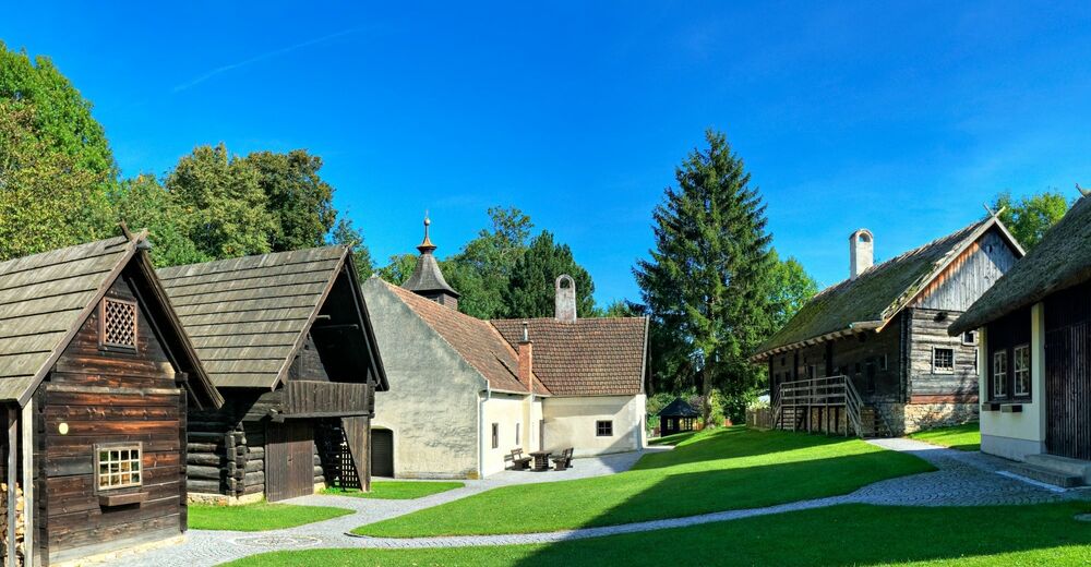
Maria Schnee Pilgrimage Church in Lichtenegg
- Höhenprofil
-


- Autor
-
Die Tour WAB - Regional Route B: Krumbach - Maria Schnee wird von outdooractive.com bereitgestellt.
GPS Downloads


Opće informacije
Aussichtsreich
Weitere Touren in den Regionen
-
Wiener Alpen
3048
-
Wechselland - Wiener Alpen
1704
-
Lichtenegg
250