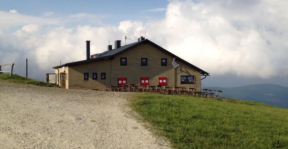
© Unbekannt - Veronika Marx, Pächterin Wetterkoglerhaus
- Kratak opis
-
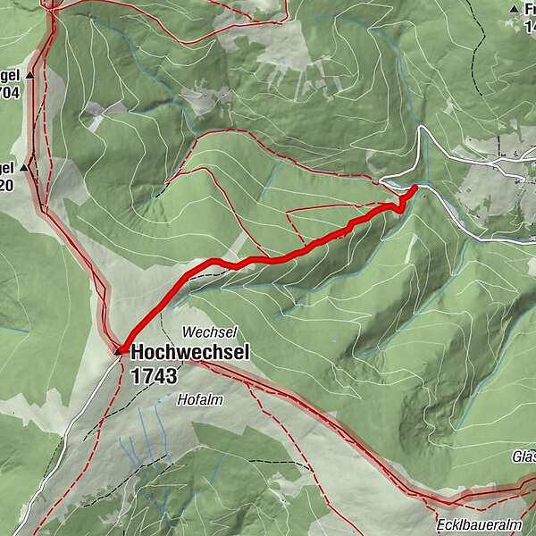
The shortest way to the Wetterkogelhaus leads from the biotope in Mariensee, past the Marienseer Schwaig inn, to the Hochwechsel. Approaching Mariensee by car is advisable!
- Teškoća
-
srednje
- Vrednovanje
-
- Wegverlauf
-
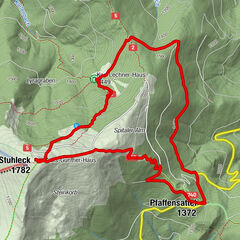
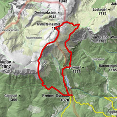
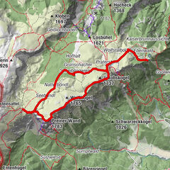
Marienseer Schwaig 1478 m1,9 kmWetterkoglerhaus3,3 kmHochwechsel (1.743 m)3,3 km
- Beste Jahreszeit
-
sijveljožutrasvilipsrpkolrujlisstupro
- Höchster Punkt
- 1.733 m
- Zielpunkt
-
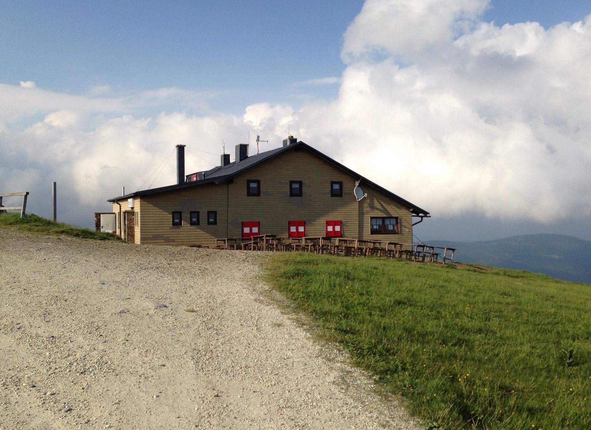
Wetterkoglerhaus on the Hochwechsel
- Höhenprofil
-

- Autor
-
Die Tour Hike to the Wetterkoglerhaus over the Marienseer Schwaig wird von outdooractive.com bereitgestellt.
GPS Downloads


Opće informacije
Einkehrmöglichkeit
Aussichtsreich
Weitere Touren in den Regionen