© Hansjörg Hörseljau
Podaci o ruti
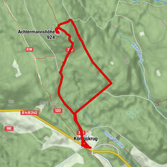
7,45km
574
- 616m
102hm
86hm
02:00h

- Kratak opis
-
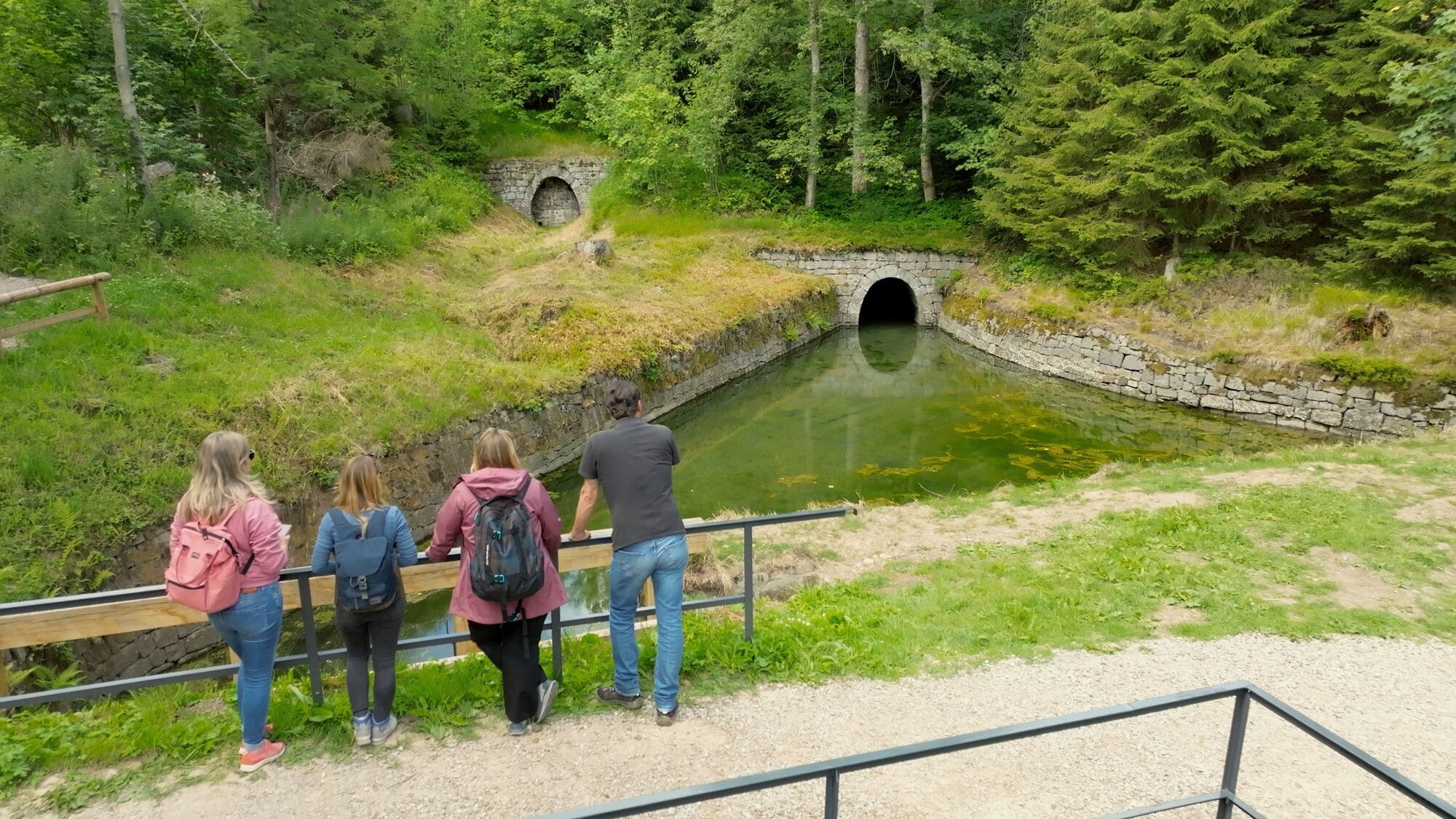
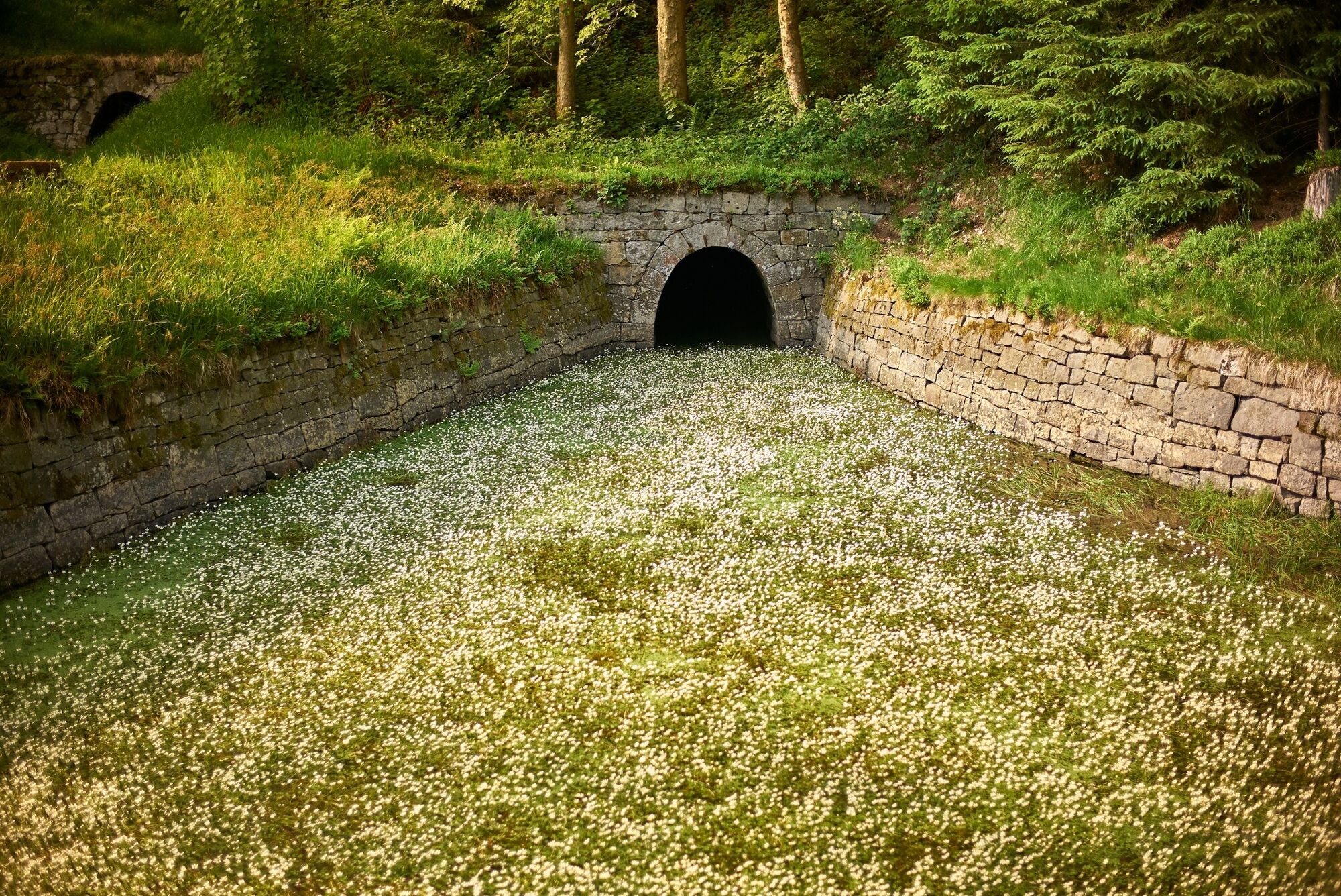
This walk will take you to all the important parts of the Huttaler Widerwaage ditch system. Here you will experience the impressive engineering of the Upper Harz Water Management System.
- Teškoća
-
lagano
- Vrednovanje
-
- Wegverlauf
-
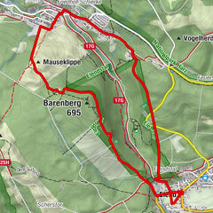
Polsterberger Hubhaus4,1 km
- Beste Jahreszeit
-
sijveljožutrasvilipsrpkolrujlisstupro
- Höchster Punkt
- 616 m
- Zielpunkt
-
on the B 242 Clausthal - Braunlage, follow the sign "Hirschler/Pfauenteiche", turn right onto the Entensumpf car park
- Höhenprofil
-
 © outdooractive.com

-

-
AutorDie Tour WatersideWalk Huttaler Widerwaage ditch system wird von outdooractive.com bereitgestellt.
GPS Downloads


Opće informacije
Einkehrmöglichkeit
Kulturell/Historisch
Weitere Touren in den Regionen
-
Der Harz/ Niedersachsen
1061
-
Oberharz
685
-
Riefensbeek-Kamschlacken
212