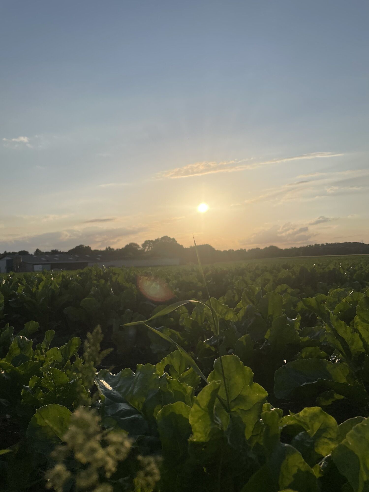
Grevenbroich - St.-Aloysius - Lukaskirche - Kapellen
medium
Navigate
Navigate
Get this tour on your mobile
Grevenbroich - St.-Aloysius - Lukaskirche - Kapellen
medium
Mountainbike
51,30
km
Scan the QR code and start navigation in the bergfex app

Hiking & Tracking


Distance
51,30
km
Duration
03:18
h
Ascent
385
m
Sea level
31 -
61
m
Track download
Grevenbroich - St.-Aloysius - Lukaskirche - Kapellen
medium
Mountainbike
51,30
km


Route
Grevenbroich
(54 m)
City
0,0 km
Neuss
(40 m)
City
12,5 km
Dusseldorf
(38 m)
City
18,5 km
St.-Aloysius
(43 m)
Place of worship
33,5 km
Kreuzkirche
(44 m)
Place of worship
37,6 km
Ückerath
(43 m)
Village
40,1 km
Sankt Sebastianus Hülchrath
(50 m)
Place of worship
47,8 km
Route
Grevenbroich - St.-Aloysius - Lukaskirche - Kapellen
medium
Mountainbike
51,30
km
Grevenbroich
(54 m)
City
0,0 km
Kapellen
(52 m)
Neighbourhood
0,0 km
Gilverath
(50 m)
Village
0,8 km
Gruissem
(46 m)
Settlement
2,6 km
Münchrath
(48 m)
Village
3,6 km
Helpenstein
(44 m)
Village
5,4 km
Eppinghoven
(45 m)
Settlement
6,8 km
Weckhoven
(42 m)
Village
8,9 km
Tc Neuss-Weckhoven e.V.
(41 m)
Restaurant
9,1 km
Im Hahnen an der Erft
(37 m)
Corridor/terrain
10,1 km
Selikum
(43 m)
Village
10,4 km
Erfttal-West
(42 m)
Neighbourhood
11,1 km
Neuss
(40 m)
City
12,5 km
Kolossos
(42 m)
Restaurant
12,9 km
Bürgerhaus Reuterhof
(40 m)
Restaurant
13,6 km
Grimlinghausen
(44 m)
Village
14,5 km
Dusseldorf
(38 m)
City
18,5 km
Messina Due
(43 m)
Restaurant
21,6 km
Landgasthaus Krevet
(42 m)
Restaurant
21,6 km
Himmelgeist
(41 m)
Neighbourhood
21,6 km
Itter
(41 m)
Neighbourhood
22,4 km
Urdenbach
(44 m)
Neighbourhood
27,6 km
Haus Ausleger
(42 m)
Restaurant
29,7 km
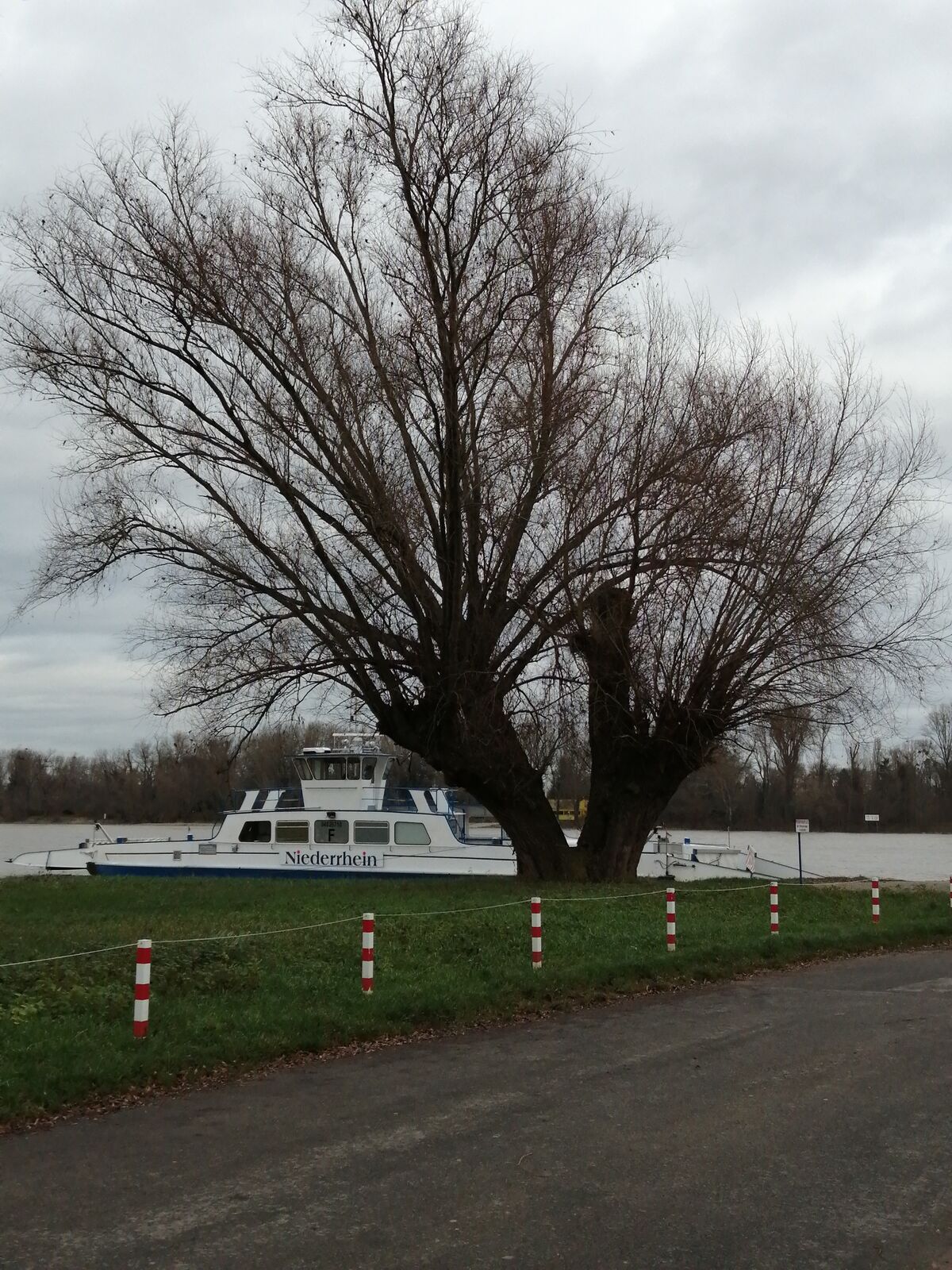
Anleger Urdenbach
(31 m)
Ferry landing stage
29,9 km
Anleger Zons
(31 m)
Ferry landing stage
30,2 km
Dormagen
(49 m)
City
30,3 km
Zons
(40 m)
Village
30,5 km
St.-Aloysius
(43 m)
Place of worship
33,5 km
Vater Rhein
(43 m)
Restaurant
33,5 km
Stürzelberg
(41 m)
Village
33,9 km
Lukaskirche
(39 m)
Place of worship
34,1 km
Sankt Peter
(44 m)
Village
34,8 km
Delrath
(42 m)
Village
36,5 km
Alter Bahnhof Nievenheim
(43 m)
Restaurant
37,1 km
Nievenheim
(42 m)
Railway station
37,1 km
Kreuzkirche
(44 m)
Place of worship
37,6 km
Nievenheim
(44 m)
Village
38,4 km
Manes am Bösch
(44 m)
Restaurant
39,9 km
Ückerath
(43 m)
Village
40,1 km
Am Nievenheimer Weg
(41 m)
Corridor/terrain
41,8 km
Gohr
(45 m)
Village
42,8 km
Neukircher Heide
(61 m)
Settlement
45,3 km
Hinter dem Effer- Busch
(53 m)
Corridor/terrain
46,6 km
Hülchrath
(50 m)
Village
47,6 km
Sankt Sebastianus Hülchrath
(50 m)
Place of worship
47,8 km
Mühlrath
(48 m)
Settlement
48,9 km
Im Kleinen Bend
(44 m)
Corridor/terrain
49,3 km
Neubrück
(48 m)
Settlement
49,6 km
Gilverath
(50 m)
Village
50,4 km
Grevenbroich
(54 m)
City
51,2 km
Kapellen
(52 m)
Neighbourhood
51,3 km
No reviews yet
Popular tours in the neighbourhood
-
3,0
Rotthäuser Höhe und Tal
lightPješačenje 9,41 km -
Zons-Grund-Zons
lightPješačenje 10,9 km -
Erkrather Runde
lightPješačenje 7,29 km -
Jöne Meerke zur Erftmündung Neuss
lightPješačenje 12,6 km -
Entlang der Energie (Mönchengladbach- Köln 2 von 3) #LL2ROM V16
lightPješačenje 24,0 km -
5,0
D-Rotthäuser Bachtal (10)
lightZimsko planinarenje 8,66 km -
Grafenberger Waldrunde
mediumPješačenje 10,3 km -
Rund-Wanderung durch die Urdenbacher Kämpe
lightPješačenje 9,58 km -
Spaziergang zur Hundebucht am Rhein
lightPješačenje 6,05 km -
WJ Walks 2.0
mediumPješačenje 11,1 km
bergfex Tours

Over 550.000 tour suggestions, detailed maps and an intuitive route planner make the app a must-have for all nature enthusiasts.

Ne propustite ponude i inspiraciju za vaš sljedeći odmor
Subscribe to the newsletter
Error
An error has occurred. Please try again.
Thank you for your registration
Your e-mail address has been added to the mailing list.
Tours throughout Europe
Austrija
Švicarska
Njemačka
Italija
Slovenija
Francuska
Nizozemska
Belgija
Poljska
Lihtenštajn
Češka
Slovačka
Španija
Hrvatska
Bosna i Hercegovina
Luksemburg
Andora
Portugal
Island
Ujedinjeno Kraljevstvo
Irska
Grčka
Albanija
Sjeverna Makedonija
Malta
Norveška
Crna Gora
Moldova
Kosovo
Mađarska
San Marino
Rumunjska
Estonija
Latvija
Bjelorusija
Cipar
Litva
Srbija
Bugarska
Monako
Danska
Švedska
Finska