Erkrath - Heiligenhäuschen - Pungshaus - Lutherkirche
heavy
Navigate
Navigate
Get this tour on your mobile
Erkrath - Heiligenhäuschen - Pungshaus - Lutherkirche
heavy
Cestovni bicikl
66,69
km
Scan the QR code and start navigation in the bergfex app

Hiking & Tracking


Distance
66,69
km
Duration
03:41
h
Ascent
1.093
m
Sea level
47 -
232
m
Track download
Erkrath - Heiligenhäuschen - Pungshaus - Lutherkirche
heavy
Cestovni bicikl
66,69
km


Route
Heiligenhäuschen
(109 m)
Place of worship
3,1 km
Langenfeld
(47 m)
City
16,5 km
Leichlingen
(55 m)
City
21,6 km
Solingen
(228 m)
City
29,2 km
Lutherkirche
(214 m)
Place of worship
29,5 km
Langenfeld
(47 m)
City
50,1 km
Heiligenhäuschen
(109 m)
Place of worship
65,3 km
Route
Erkrath - Heiligenhäuschen - Pungshaus - Lutherkirche
heavy
Cestovni bicikl
66,69
km
Erkrath
(60 m)
City
0,3 km
Kölner Bucht
(99 m)
Viewpoint
2,3 km
Heiligenhäuschen
(109 m)
Place of worship
3,1 km
Pungshaus
(59 m)
Restaurant
11,0 km
Hilden
(50 m)
City
11,5 km
Forstbach
(56 m)
Neighbourhood
11,9 km
Strauch
(61 m)
Neighbourhood
12,5 km
Heidehof
(52 m)
Restaurant
13,2 km
Pizzeria Casa Mia
(51 m)
Restaurant
13,8 km
Richrath
(47 m)
Neighbourhood
15,9 km
Langenfeld
(47 m)
City
16,5 km
Wiescheid
(86 m)
Neighbourhood
19,3 km
Landwehr
(92 m)
Neighbourhood
20,0 km
Gosse
(77 m)
Settlement
21,0 km
Horn
(75 m)
Settlement
21,6 km
Leichlingen
(55 m)
City
21,6 km
Nesselrath
(65 m)
Settlement
22,1 km
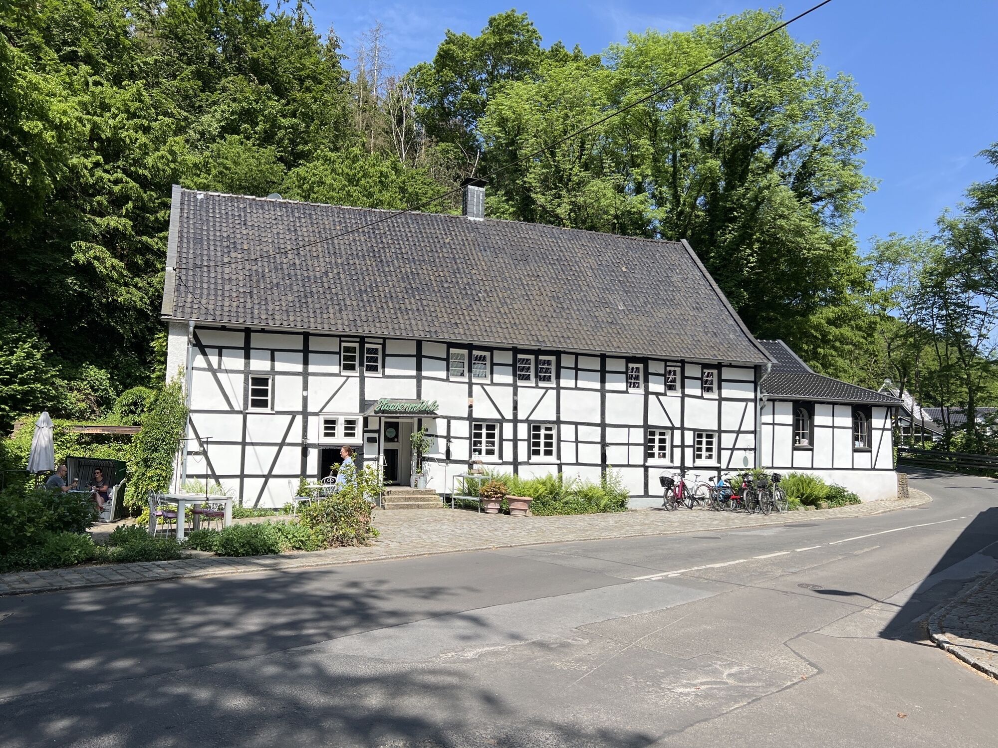
Haasenmühle
(74 m)
Restaurant
22,6 km
Kohlsberg
(118 m)
Settlement
23,8 km
Nöhrenhaus
(96 m)
Settlement
24,7 km
Delle
(107 m)
Neighbourhood
25,1 km
Untenkatternberg
(148 m)
Settlement
25,6 km
Mittelkatternberg
(158 m)
Settlement
25,9 km
Obenkatternberg
(162 m)
Settlement
26,2 km
Hossenhaus
(178 m)
Settlement
27,0 km
Obenpilghausen
(183 m)
Settlement
28,3 km
Solingen
(228 m)
City
29,2 km
Lutherkirche
(214 m)
Place of worship
29,5 km
Höhscheid
(202 m)
Neighbourhood
31,2 km
Syrtaki Grill
(217 m)
Restaurant
32,6 km
Landhaus Ferres
(81 m)
Restaurant
35,2 km
Orth
(223 m)
Settlement
37,6 km
Herscheid
(230 m)
Settlement
38,5 km
Bröden
(161 m)
Settlement
42,5 km
Kempen
(155 m)
Settlement
42,9 km
Hohlenweg
(147 m)
Settlement
43,3 km
Dierath
(143 m)
Settlement
43,5 km
Oberschmitte
(143 m)
Settlement
43,7 km
Bennert
(142 m)
Settlement
44,1 km
Bergerhof
(144 m)
Village
44,3 km
Bertenrath
(139 m)
Settlement
44,5 km
Hülstrung
(117 m)
Settlement
45,0 km
Unterberg
(72 m)
Village
45,0 km
Leichlingen
(55 m)
City
45,0 km
Kradenpuhl
(73 m)
Settlement
45,5 km
Nesselrath
(65 m)
Settlement
46,4 km
Horn
(75 m)
Settlement
47,8 km
Gosse
(77 m)
Settlement
48,3 km
Landwehr
(92 m)
Neighbourhood
49,1 km
Holzkamp
(80 m)
Settlement
49,7 km
Ricky's Automatenrestaurant
(88 m)
Restaurant
50,1 km
Langenfeld
(47 m)
City
50,1 km
Wiescheid
(86 m)
Neighbourhood
50,8 km
Schlesische Schänke
(92 m)
Restaurant
54,0 km
Forstbach
(56 m)
Neighbourhood
55,9 km
Strauch
(61 m)
Neighbourhood
55,9 km
Hilden
(50 m)
City
56,9 km
Pungshaus
(59 m)
Restaurant
57,3 km
Heiligenhäuschen
(109 m)
Place of worship
65,3 km
Erkrath
(60 m)
City
66,4 km
No reviews yet
Popular tours in the neighbourhood
-
4,5
♧ 3 Flüsse Runde durch das Eifgenbach, Dhünn und Linnefetal
lightPješačenje 13,6 km -
5,0
Neandertaler Runde
lightPješačenje 12,6 km -
3,0
Rund um die Solinger Talsperre
lightPješačenje 10,4 km -
4,7
1000 Höhenmeter
mediumPješačenje 19,8 km -
5,0
Müngstener Brücke bis Burg
lightPješačenje 12,0 km -
4,0
Diefenthal Sperre
mediumPješačenje 11,6 km -
3,0
Rotthäuser Höhe und Tal
lightPješačenje 9,41 km -
5,0
Stindertal (A2 Trail)
lightPješačenje 7,59 km -
Zons-Grund-Zons
lightPješačenje 10,9 km -
Erkrather Runde
lightPješačenje 7,29 km
bergfex Tours

Over 550.000 tour suggestions, detailed maps and an intuitive route planner make the app a must-have for all nature enthusiasts.

Ne propustite ponude i inspiraciju za vaš sljedeći odmor
Subscribe to the newsletter
Error
An error has occurred. Please try again.
Thank you for your registration
Your e-mail address has been added to the mailing list.
Tours throughout Europe
Austrija
Švicarska
Njemačka
Italija
Slovenija
Francuska
Nizozemska
Belgija
Poljska
Lihtenštajn
Češka
Slovačka
Španija
Hrvatska
Bosna i Hercegovina
Luksemburg
Andora
Portugal
Island
Ujedinjeno Kraljevstvo
Irska
Grčka
Albanija
Sjeverna Makedonija
Malta
Norveška
Crna Gora
Moldova
Kosovo
Mađarska
San Marino
Rumunjska
Estonija
Latvija
Bjelorusija
Cipar
Litva
Srbija
Bugarska
Monako
Danska
Švedska
Finska