

© Terra Dinarica - Adnan Bubalo

© Terra Dinarica - Elma Okic

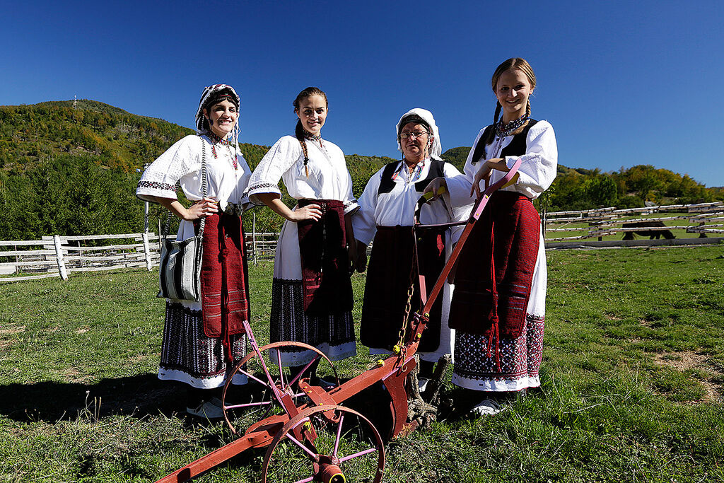
© Terra Dinarica - Elma Okic

© Terra Dinarica - Elma Okic

© Terra Dinarica - JU NP Paklenica

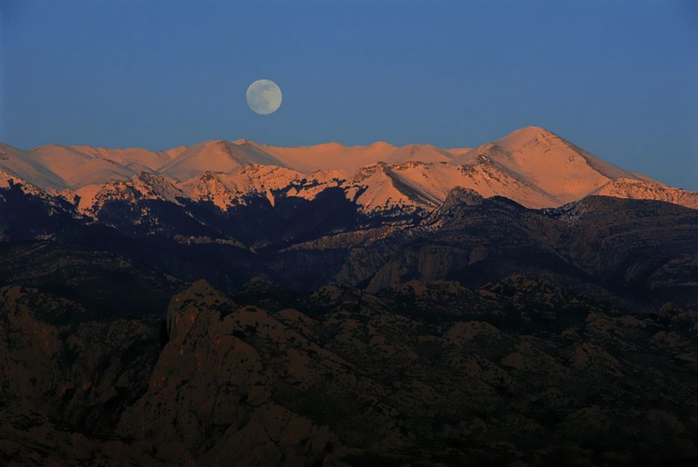
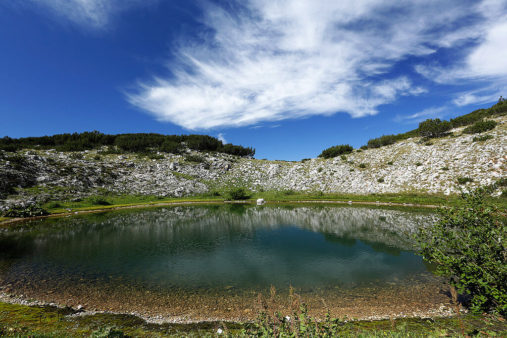
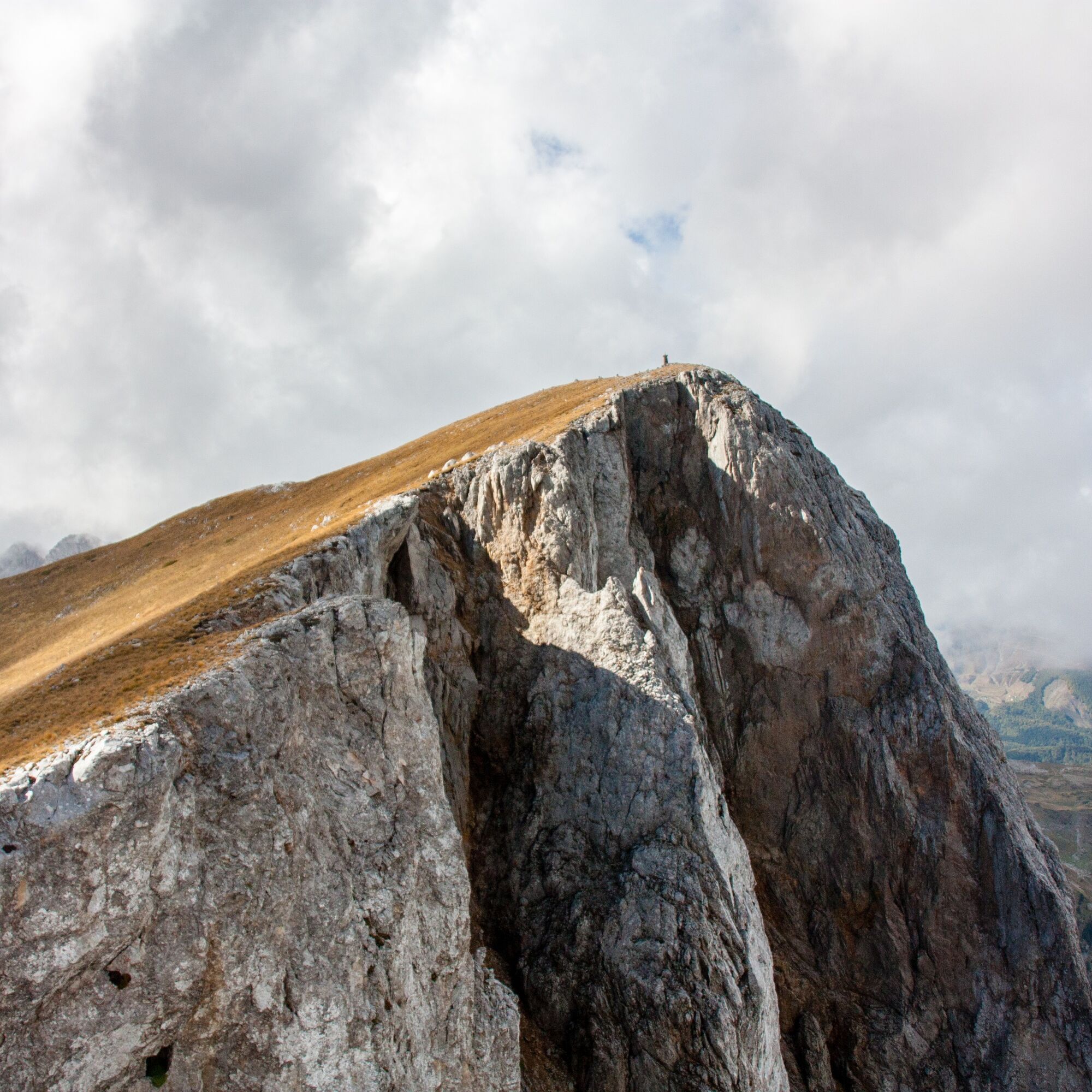
© Terra Dinarica - Alan Čaplar

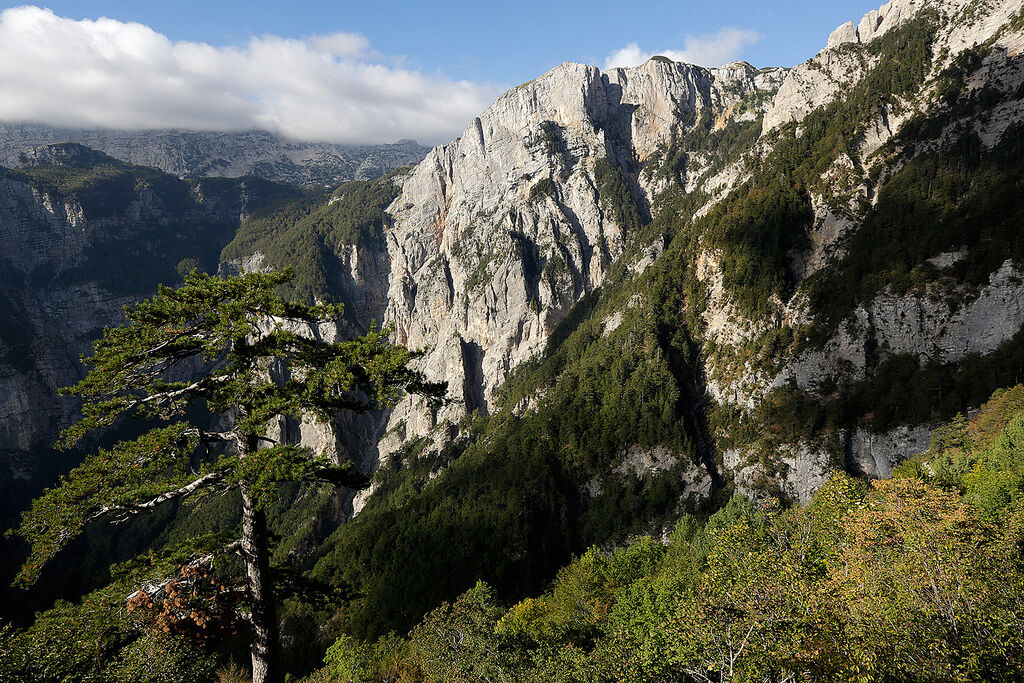
© Terra Dinarica - Alan Čaplar

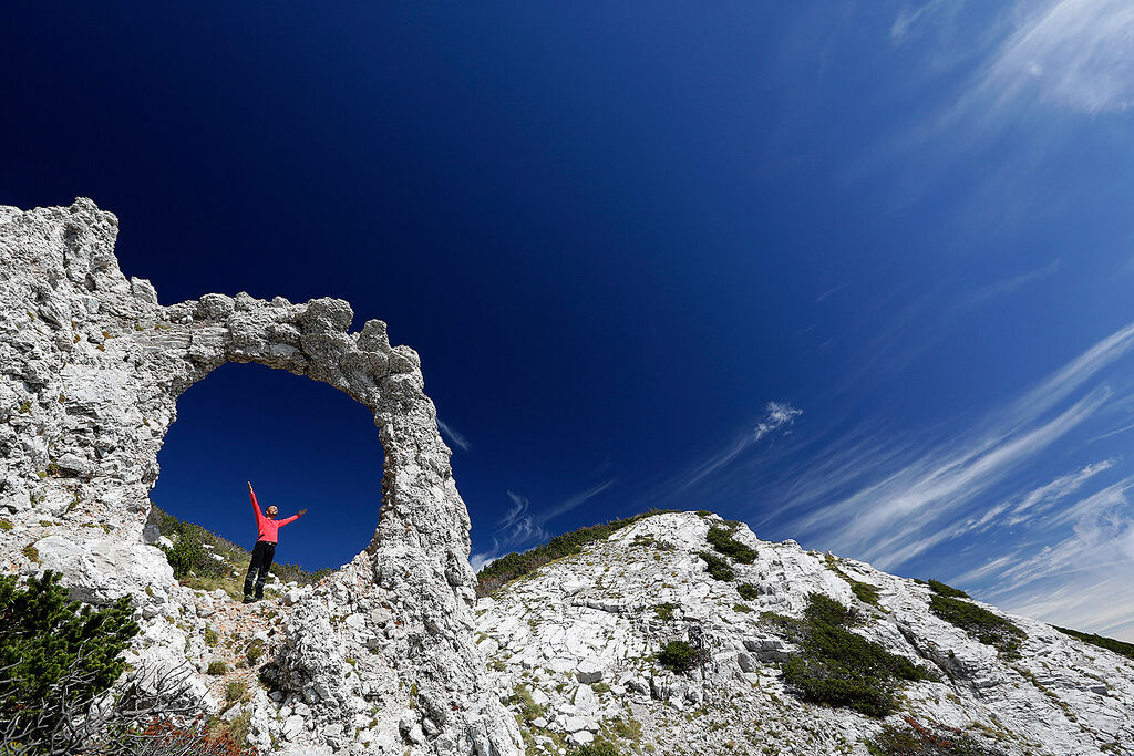
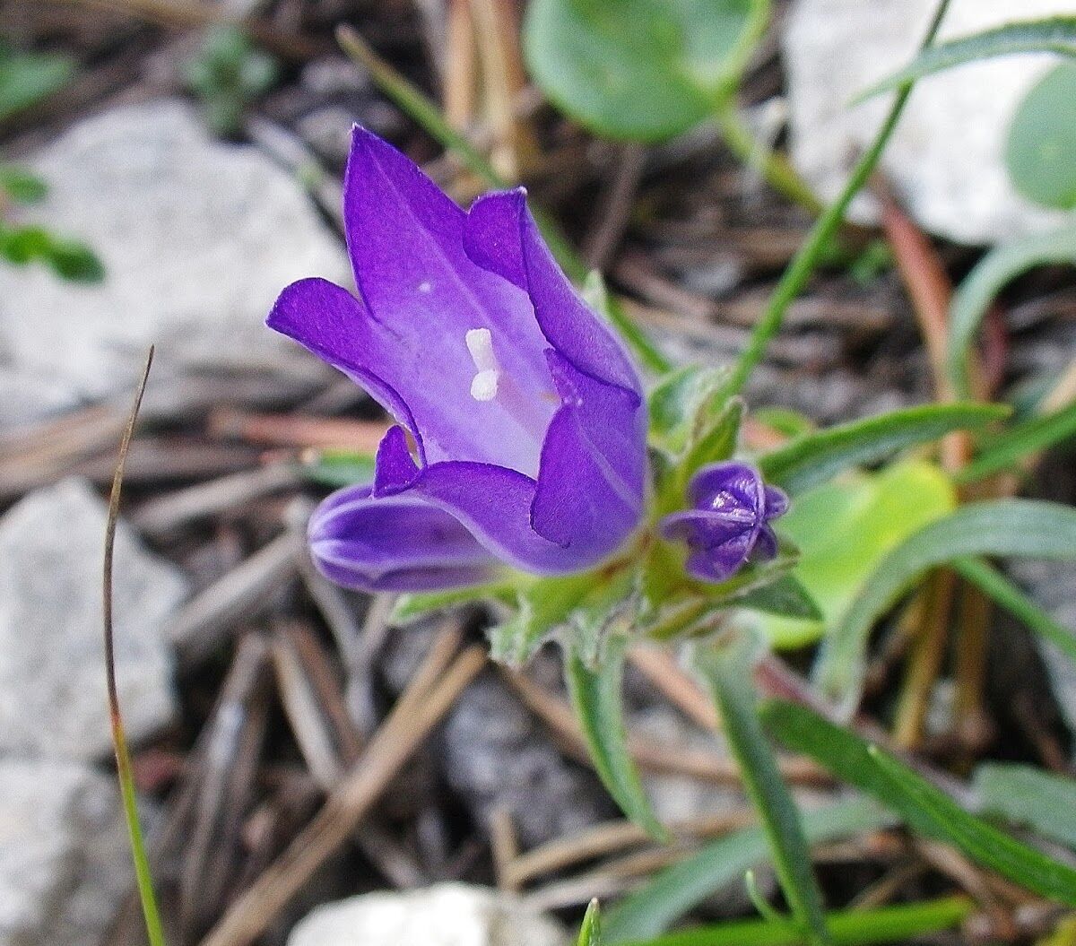
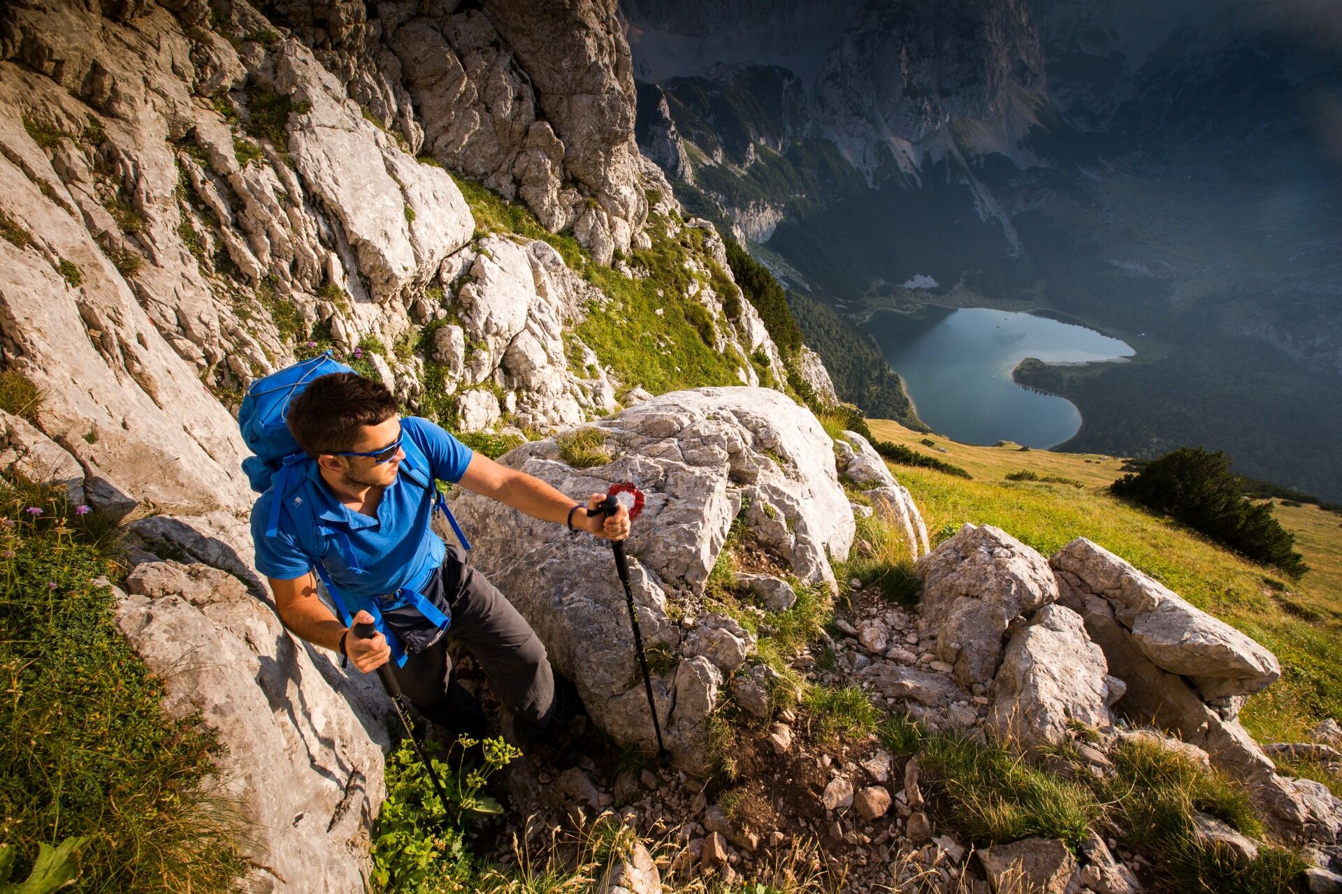
© Terra Dinarica - Ivan Juretić

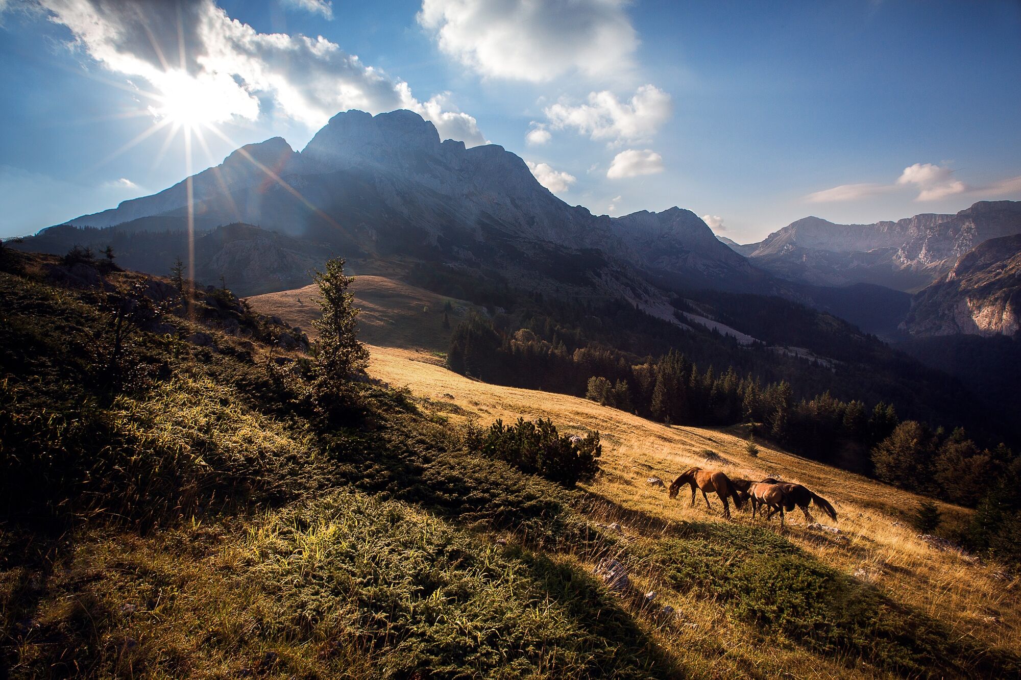
© Terra Dinarica - Alan Čaplar

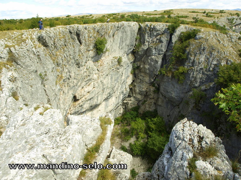
© Terra Dinarica - JU NP Paklenica

- Kratak opis
-
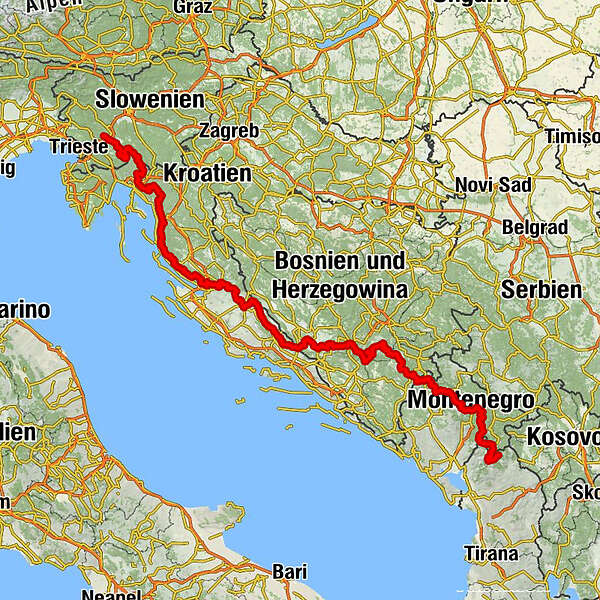
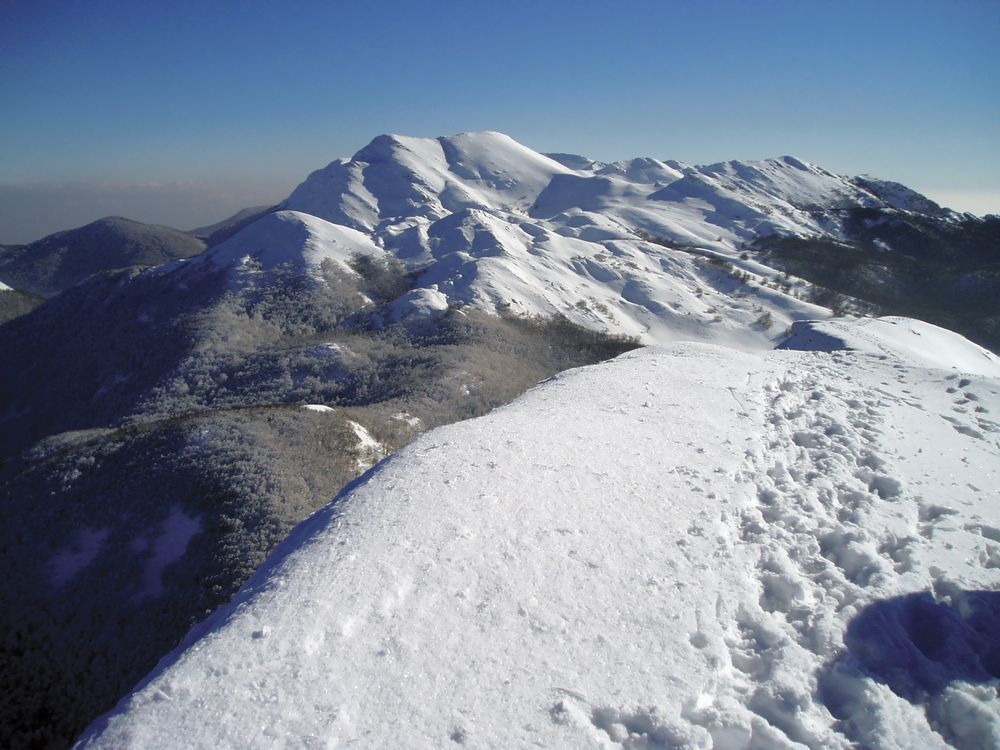
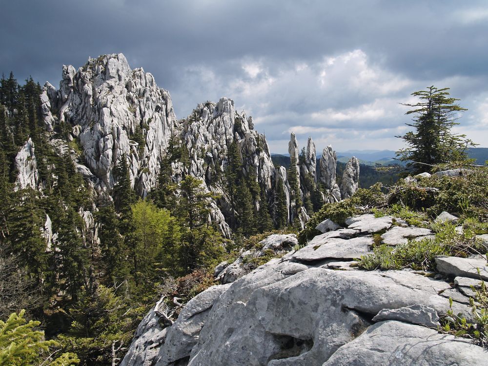
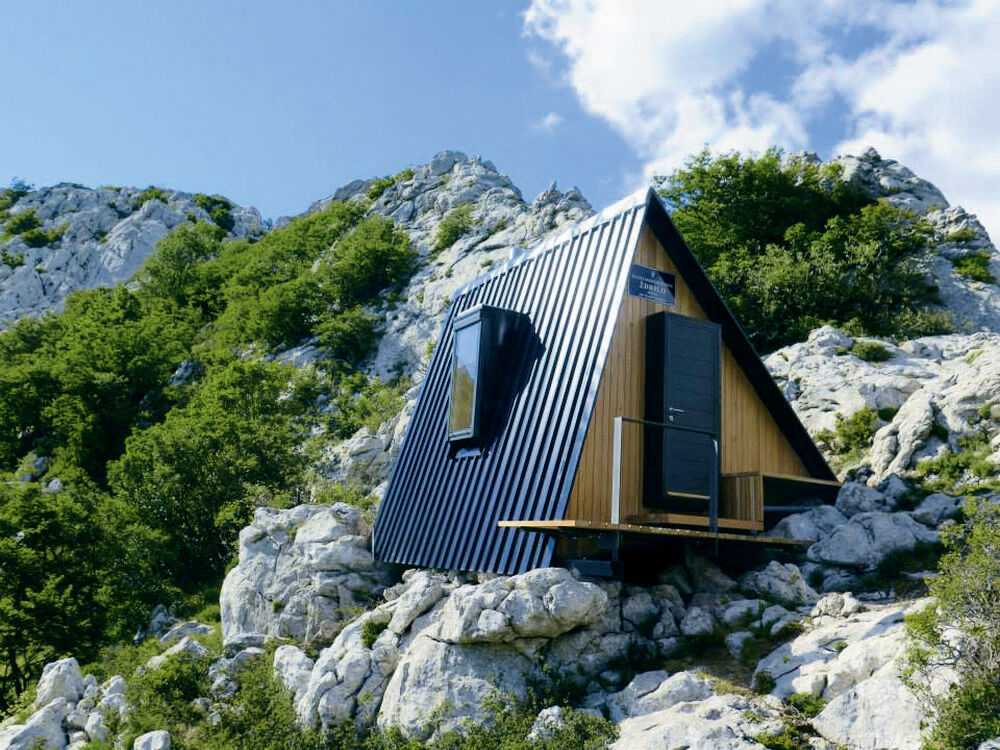
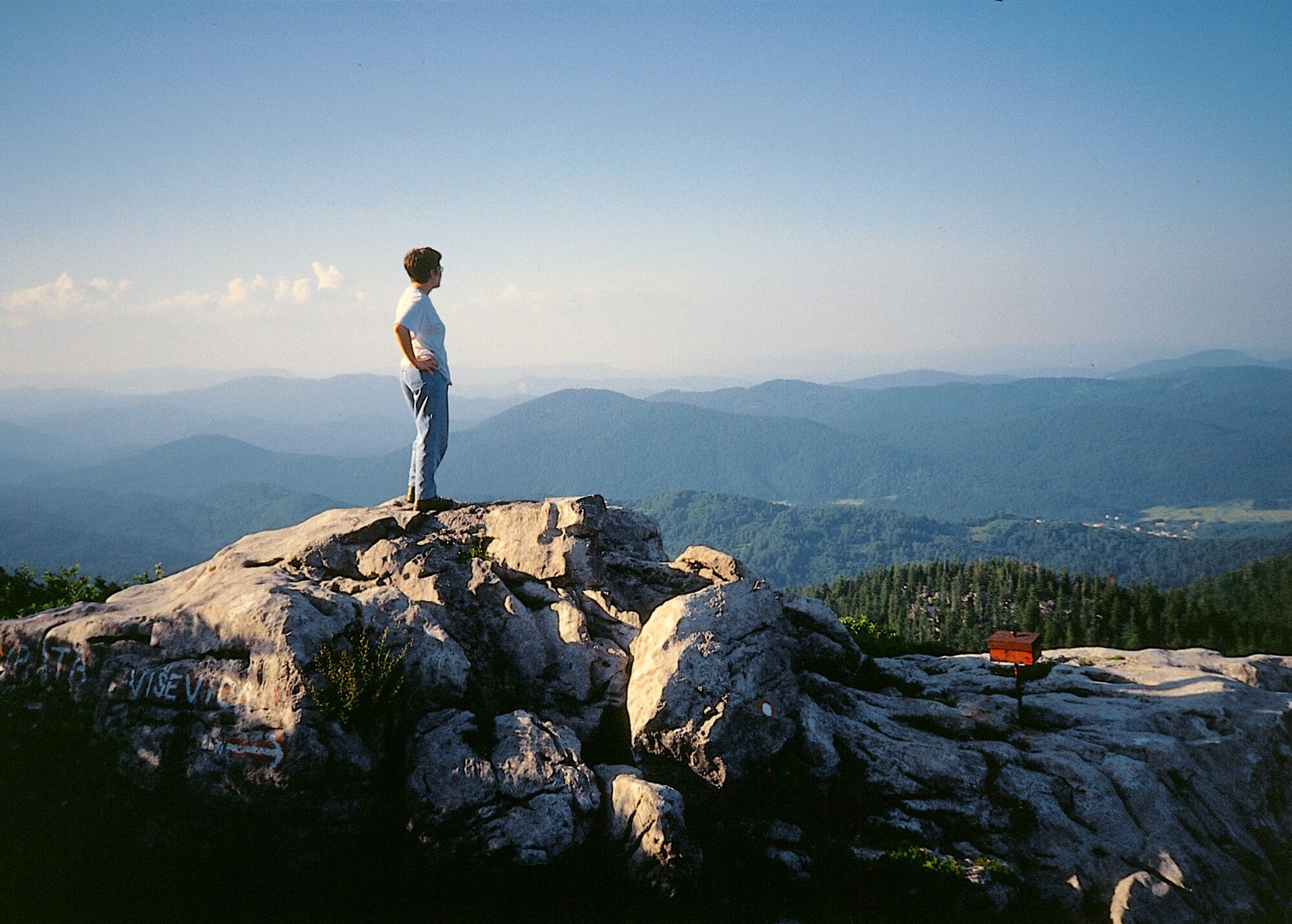
This is the main trail along the entire length of the Via Dinarica that follows the natural flow of the highest peaks of the Dinaric Alps. The White Trail includes all of the highest peaks in each respective country. Although there are a plethora of activities along this head trail, such as mountain biking and rafting, it’s main function is as a hiking trail.
Be patient, stage tour descriptions are coming soon!
- Teškoća
-
teška
- Vrednovanje
-
- Beste Jahreszeit
-
sijveljožutrasvilipsrpkolrujlisstupro
- Höchster Punkt
- 2.657 m
- Zielpunkt
-
Valbona, ALB
- Höhenprofil
-
 © outdooractive.com


-
-
AutorDie Tour Via Dinarica White Trail wird von outdooractive.com bereitgestellt.
GPS Downloads


Opće informacije
Einkehrmöglichkeit
Heilklima
Kulturell/Historisch
Geheimtipp
Flora
Fauna
Aussichtsreich