© Simon Rotar
- Kratak opis
- Teškoća
-
srednje
- Vrednovanje
-
- Wegverlauf
-
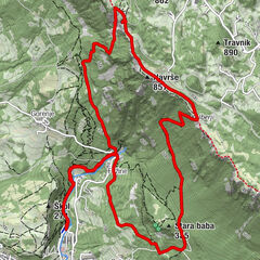
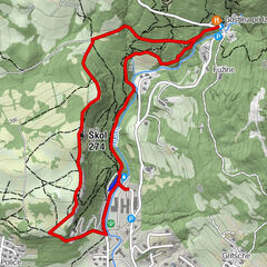
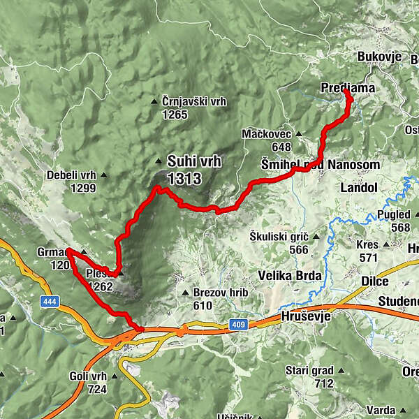
Prevallo0,1 kmVojkova koča na Nanosu4,6 kmPleša (1.262 m)4,7 kmStrane9,6 kmSv. Križ9,7 kmŠmihel pod Nanosom12,7 kmPredjama15,1 kmŽalostna Mati Božja15,1 km
- Beste Jahreszeit
-
sijveljožutrasvilipsrpkolrujlisstupro
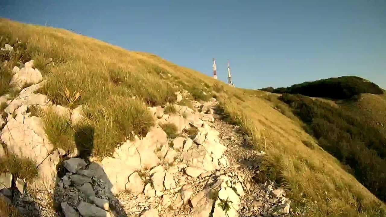
- Höchster Punkt
- 1.255 m
- Zielpunkt
-
Predjama
- Höhenprofil
-
 © outdooractive.com
- Autor
-
Die Tour Via Alpina Slovenia: Red trail Stage 3 (Razdrto-Predjama) wird von outdooractive.com bereitgestellt.
GPS Downloads


Opće informacije
Einkehrmöglichkeit
Kulturell/Historisch
Aussichtsreich
Weitere Touren in den Regionen
-
Notranjsko-Kraška
68
-
Vipava
17