

Podaci o ruti
6,49km
859
- 1.260m
61hm
415hm
01:20h
- Kratak opis
-
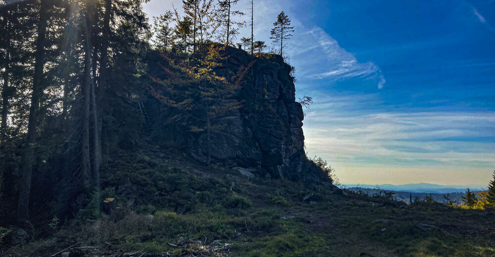
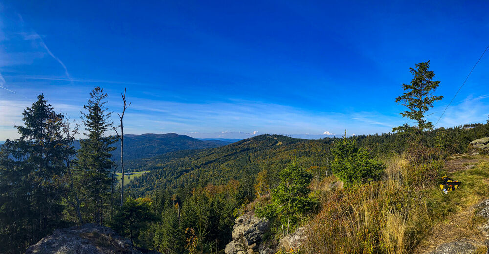
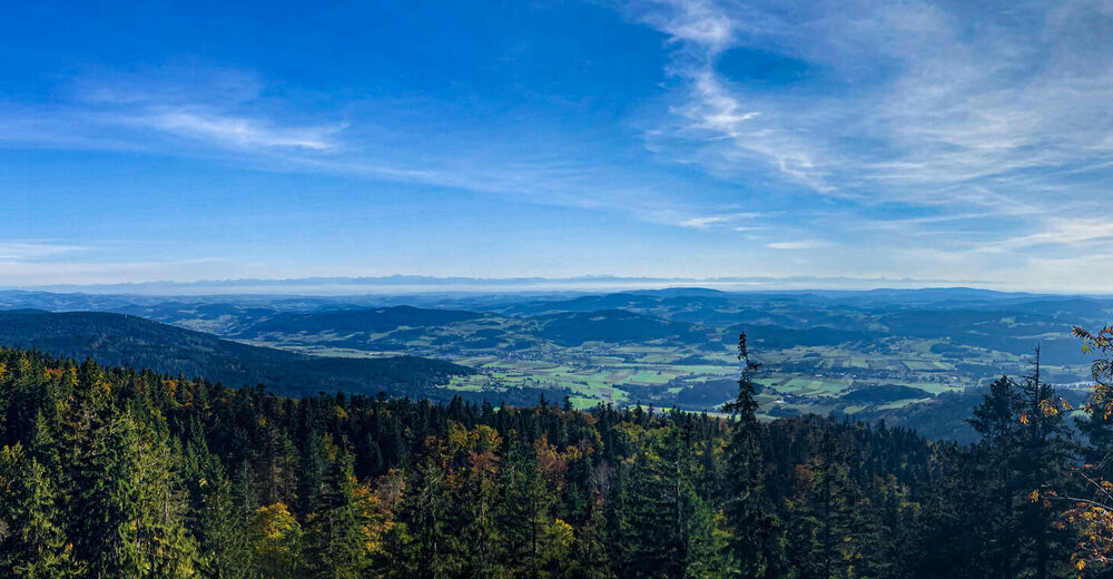
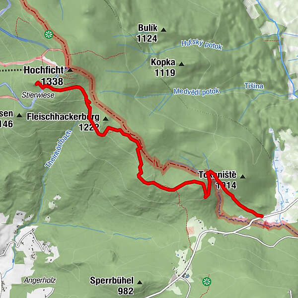
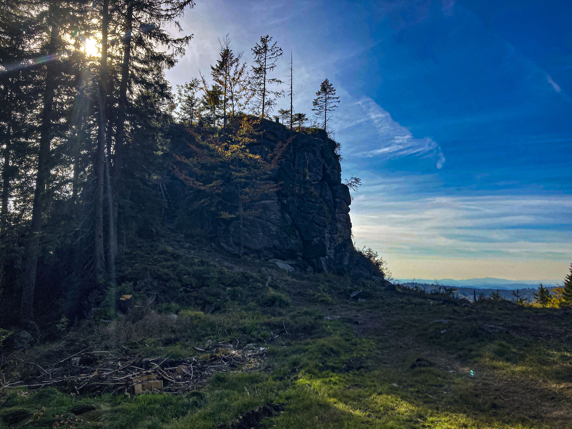
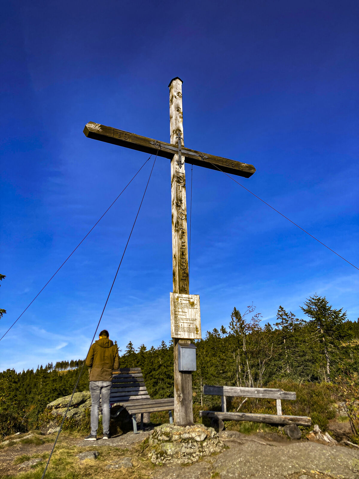
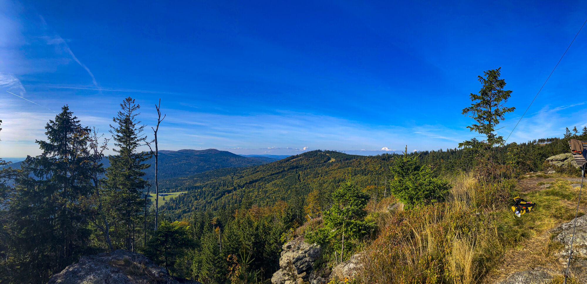
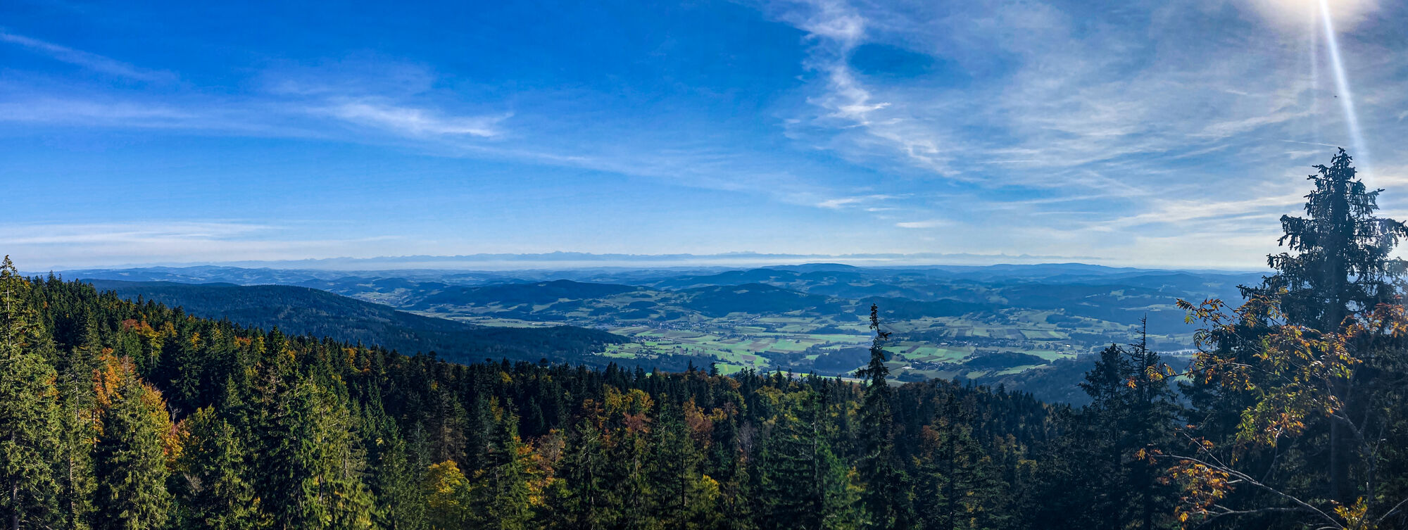
Z vyhlídky Stingelfelsen zpět na parkoviště za zadní Zvonkovou - před hranicí
- Teškoća
-
lagano
- Vrednovanje
-
- Polazna točka
-
N 48°42.86532', E 13°57.95370'
- Wegverlauf
- Beste Jahreszeit
-
sijveljožutrasvilipsrpkolrujlisstupro
- Höchster Punkt
- 1.260 m
- Zielpunkt
-
Hochficht / Smrčina

- Izvor
- Vlk
GPS Downloads


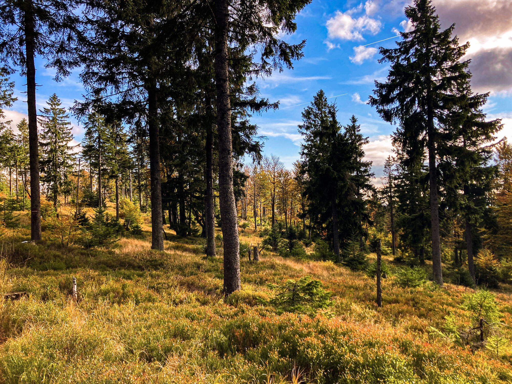
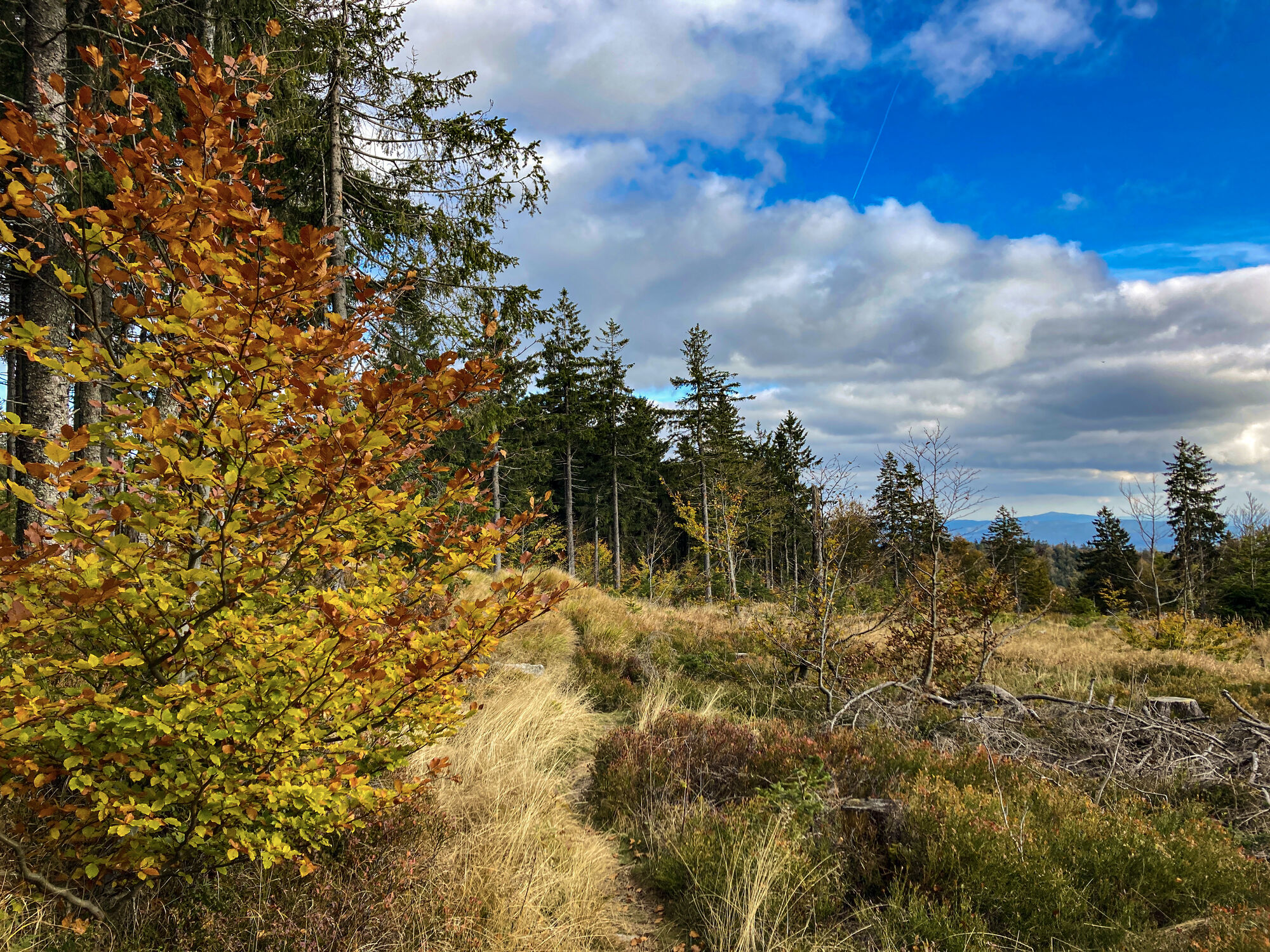
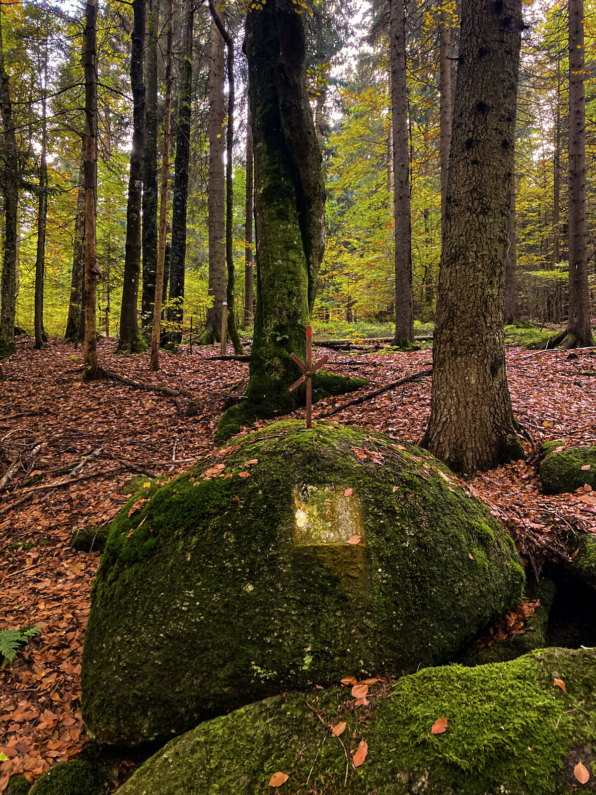
Wegbeschaffenheit
Asfalt
Šljunak
(30%)
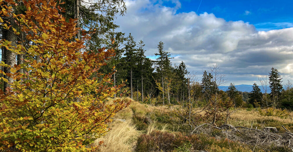
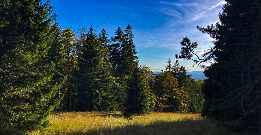
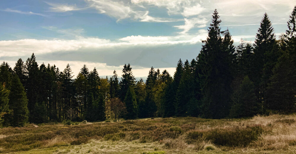
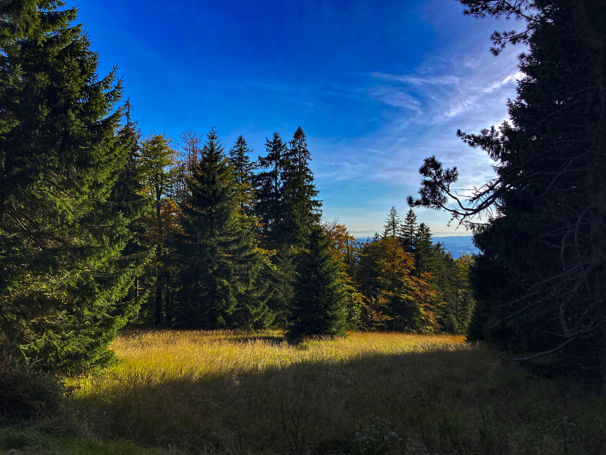
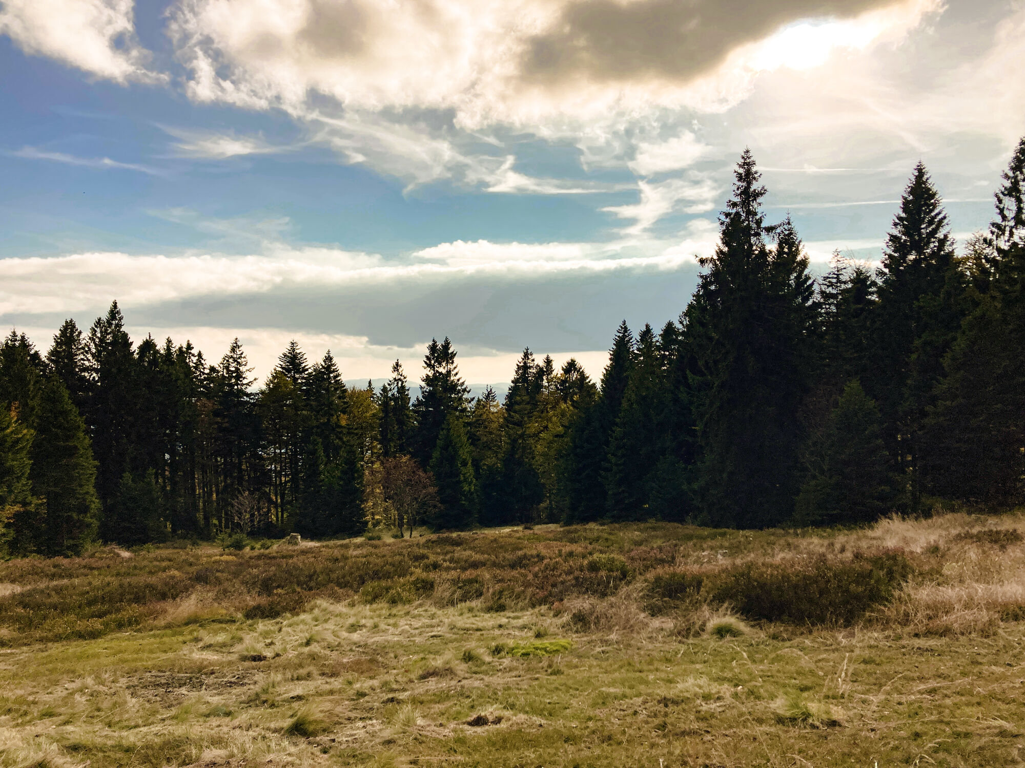
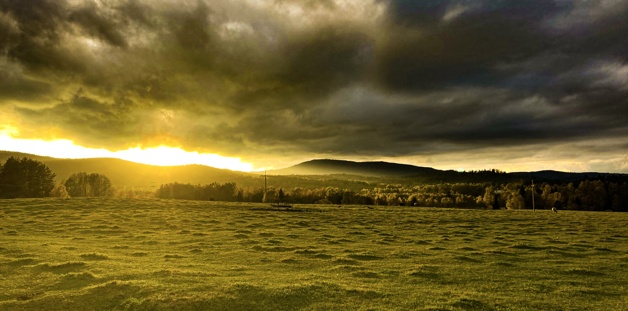
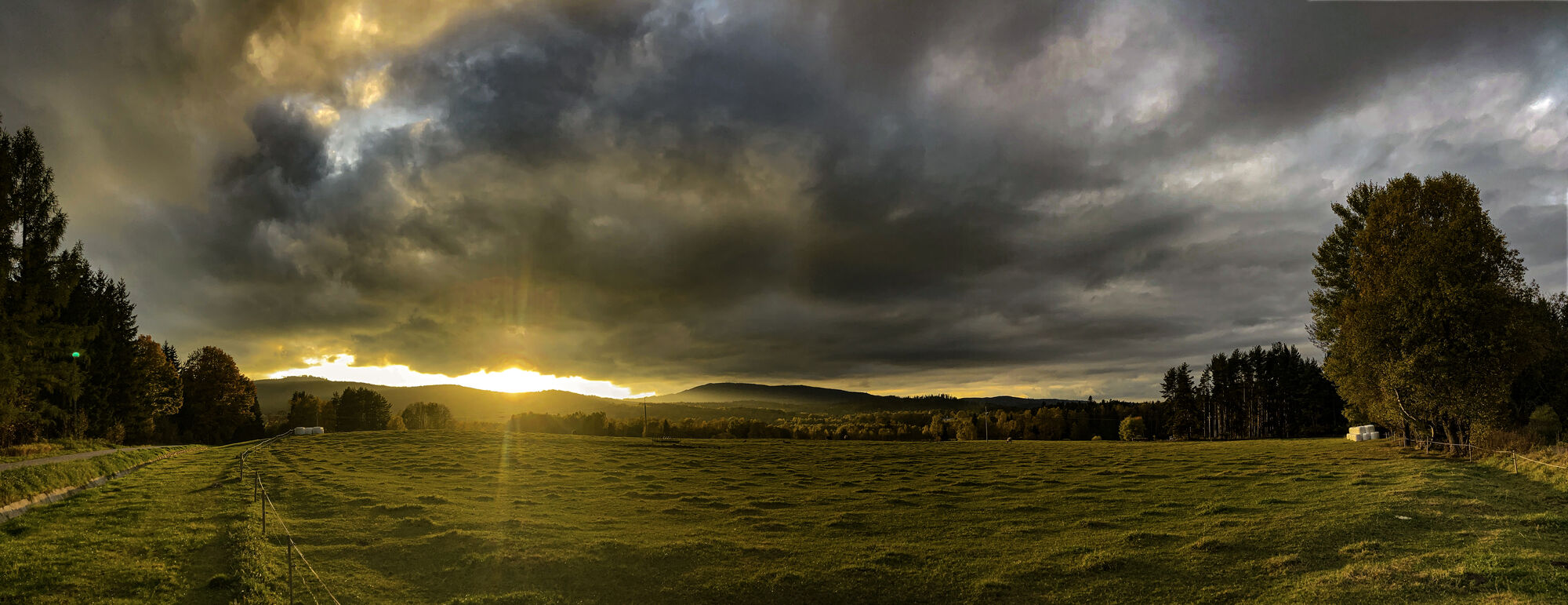
Livada
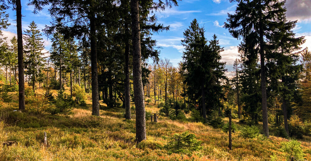
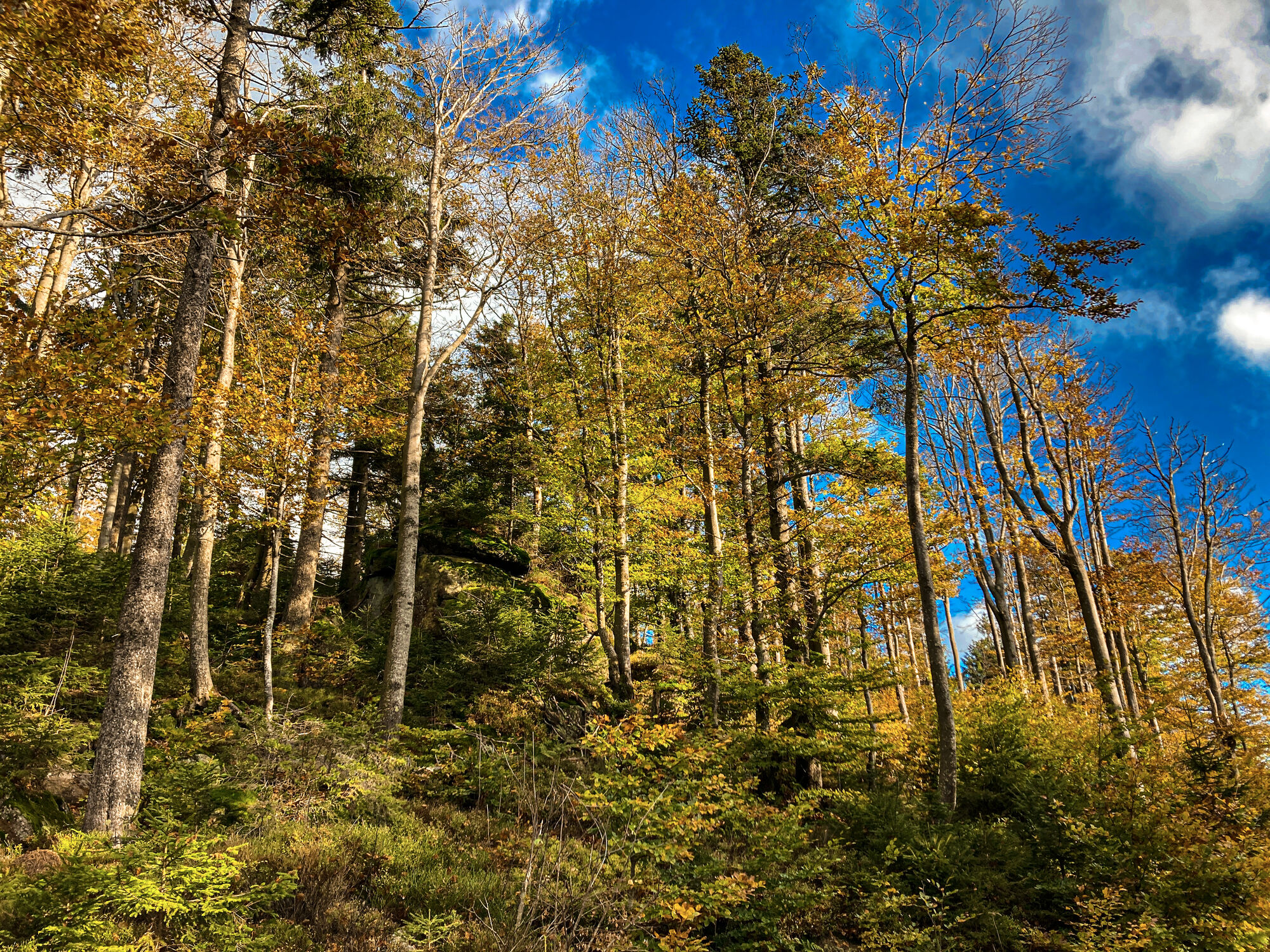
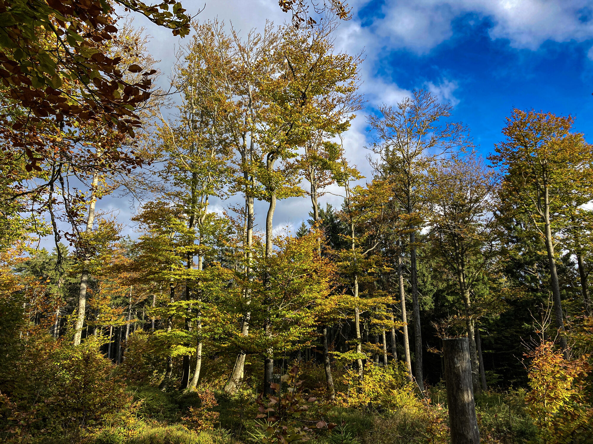
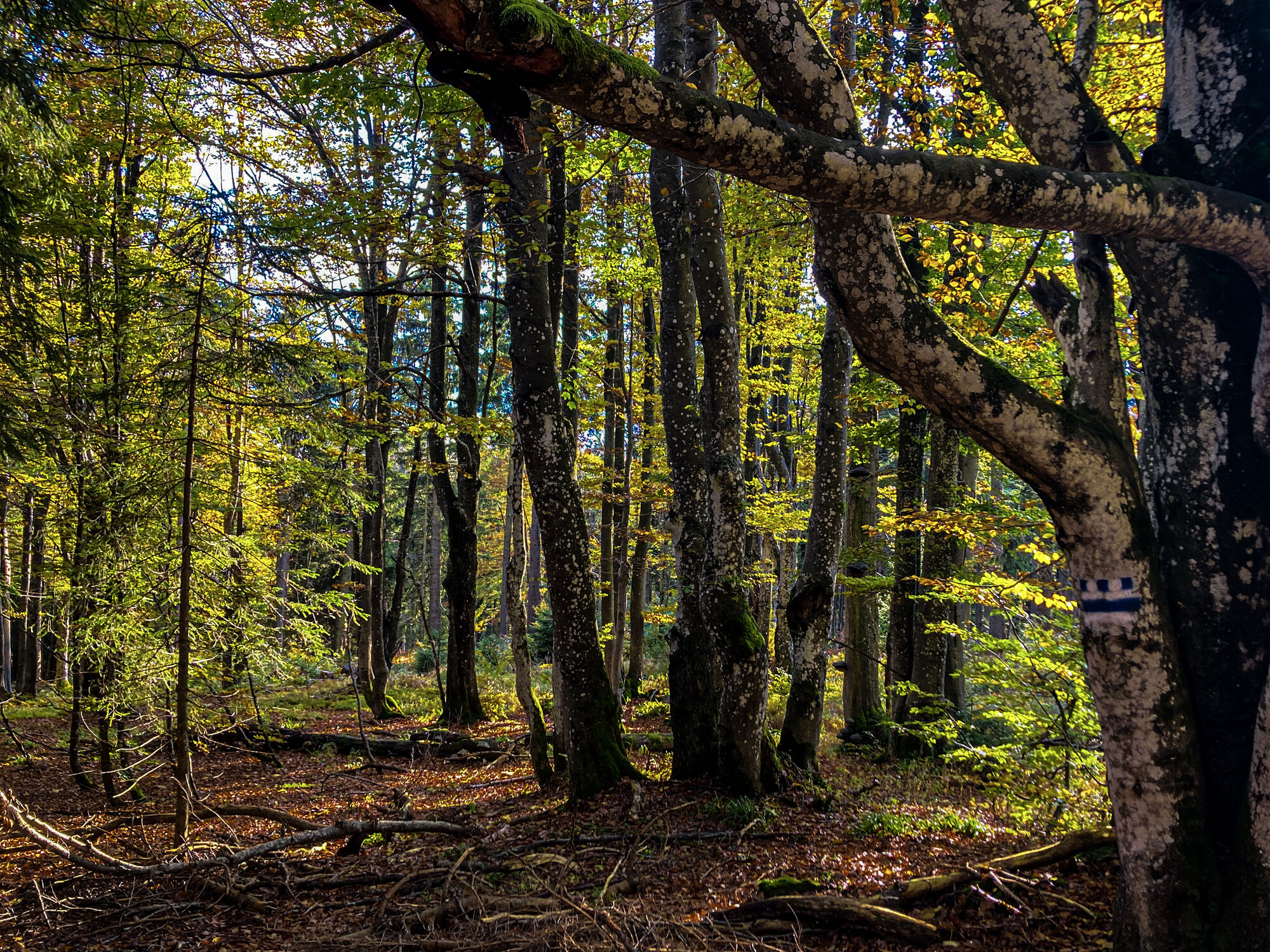
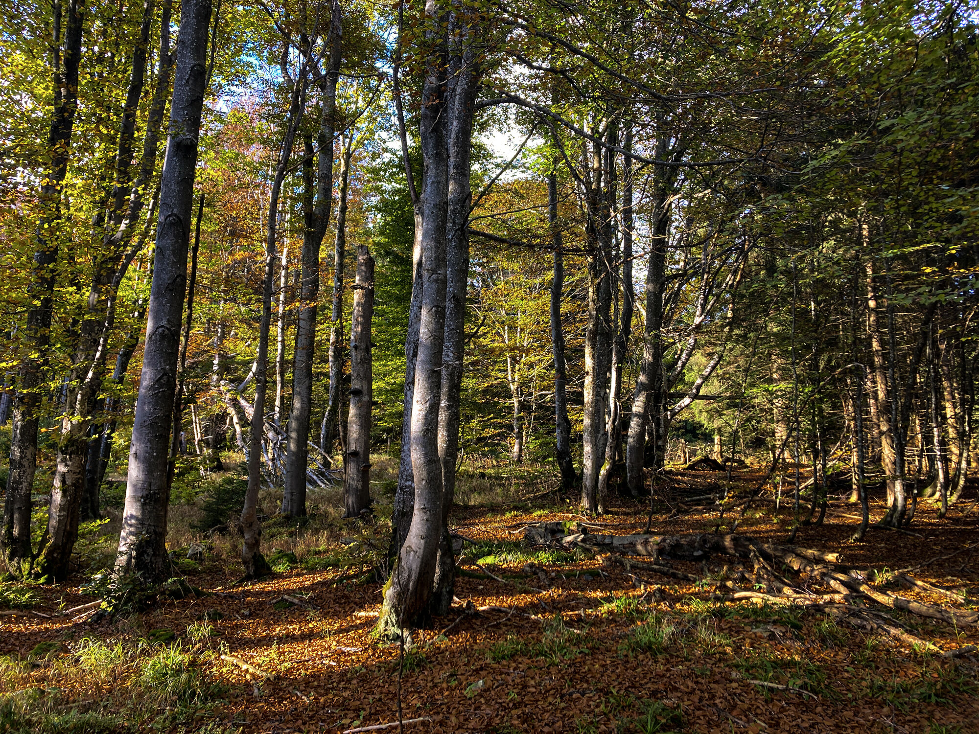
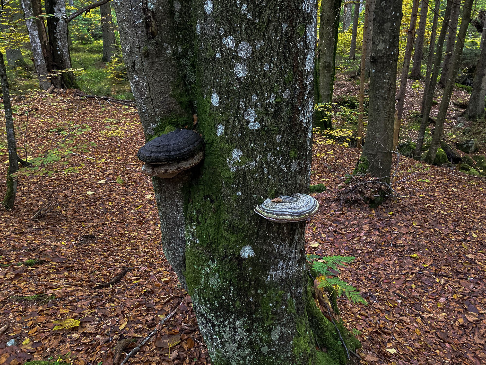
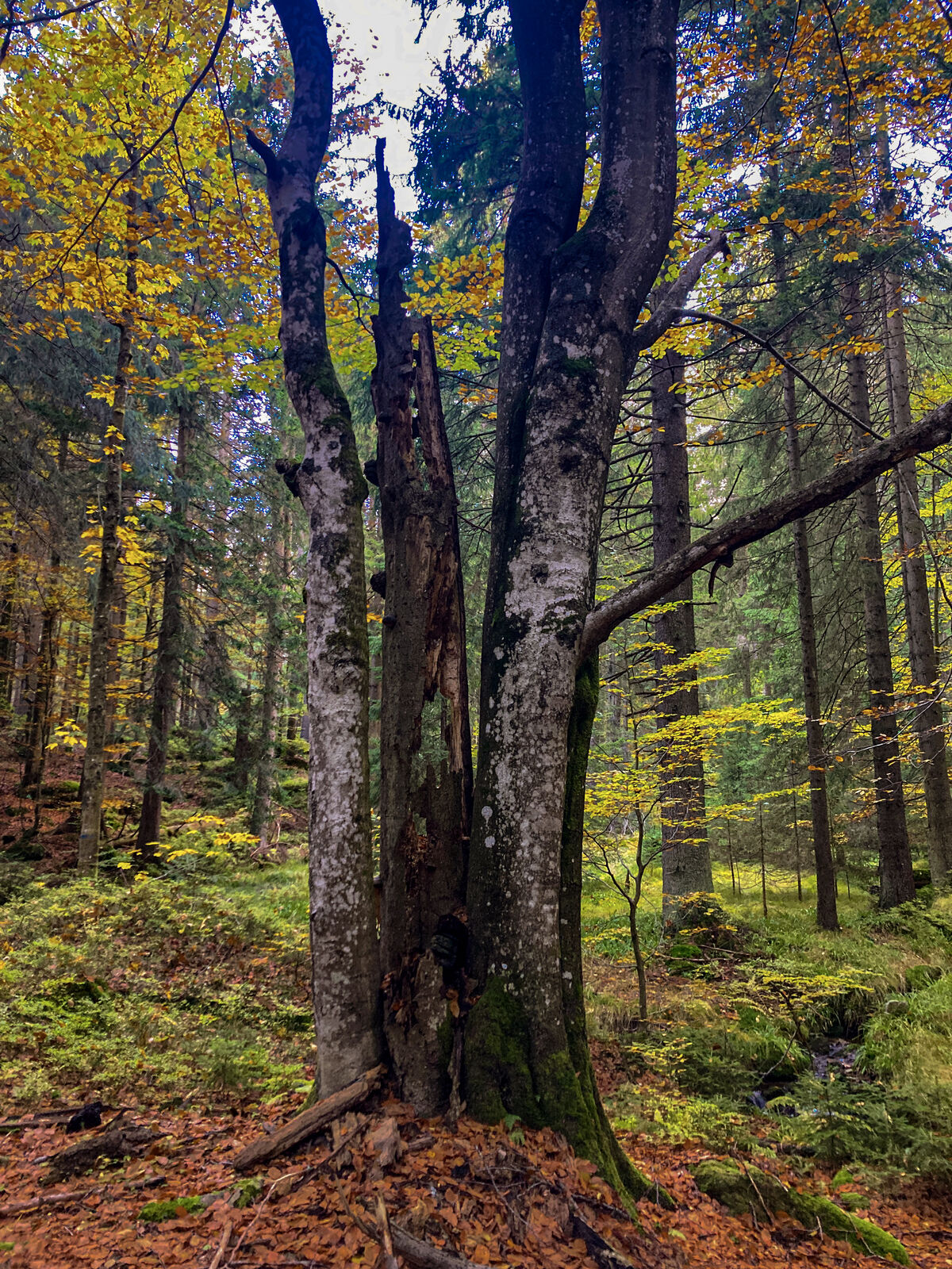
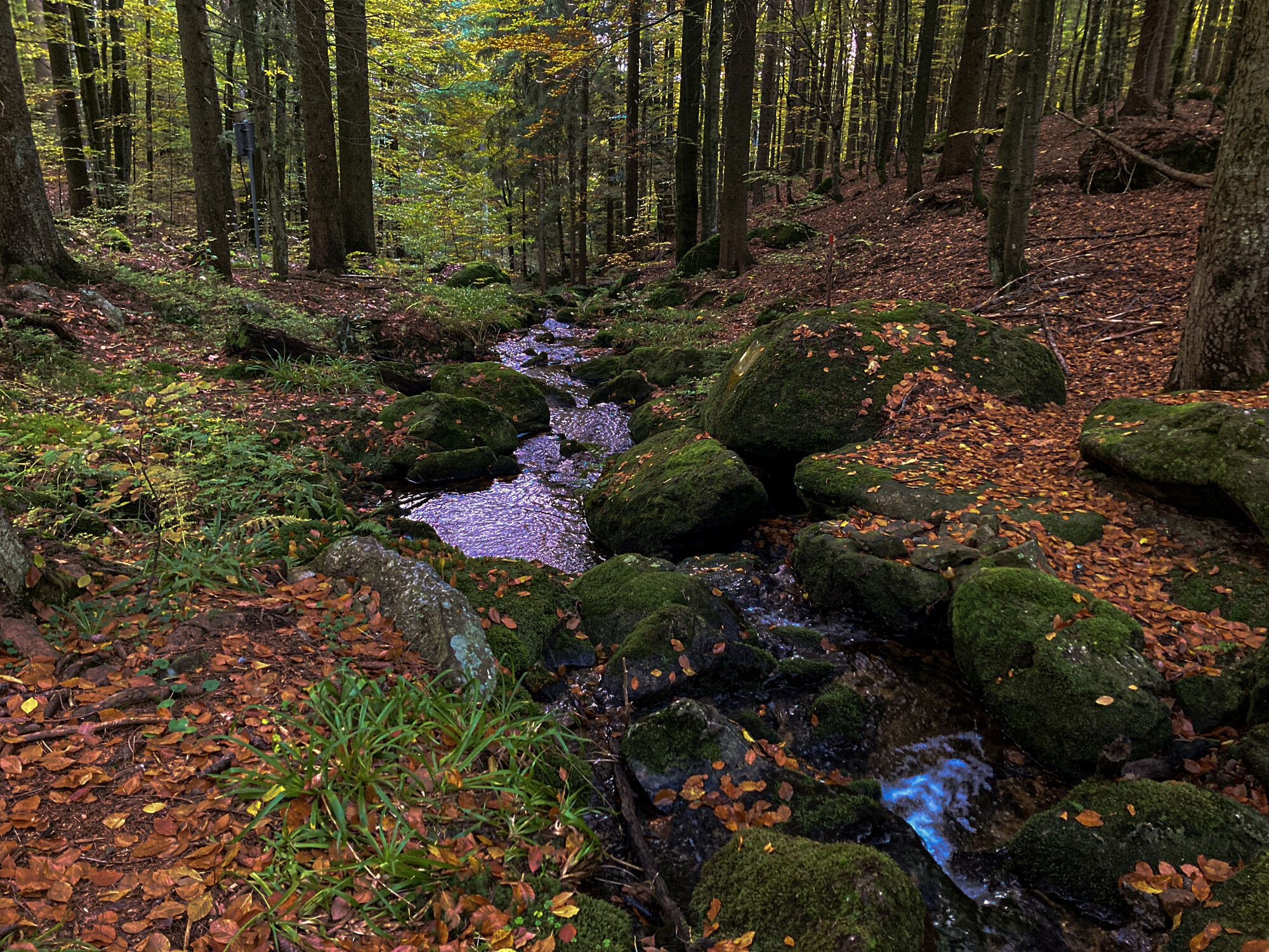
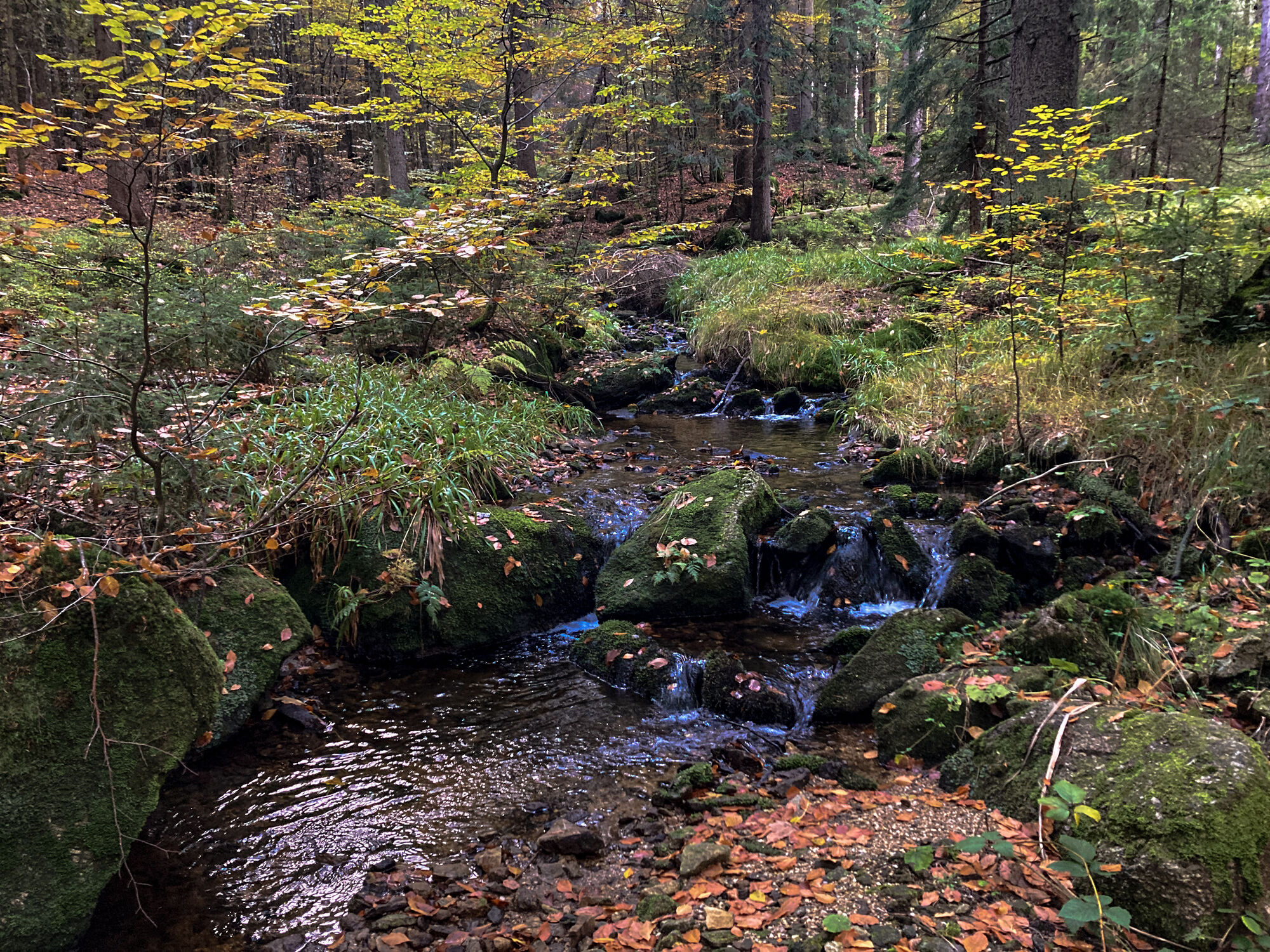
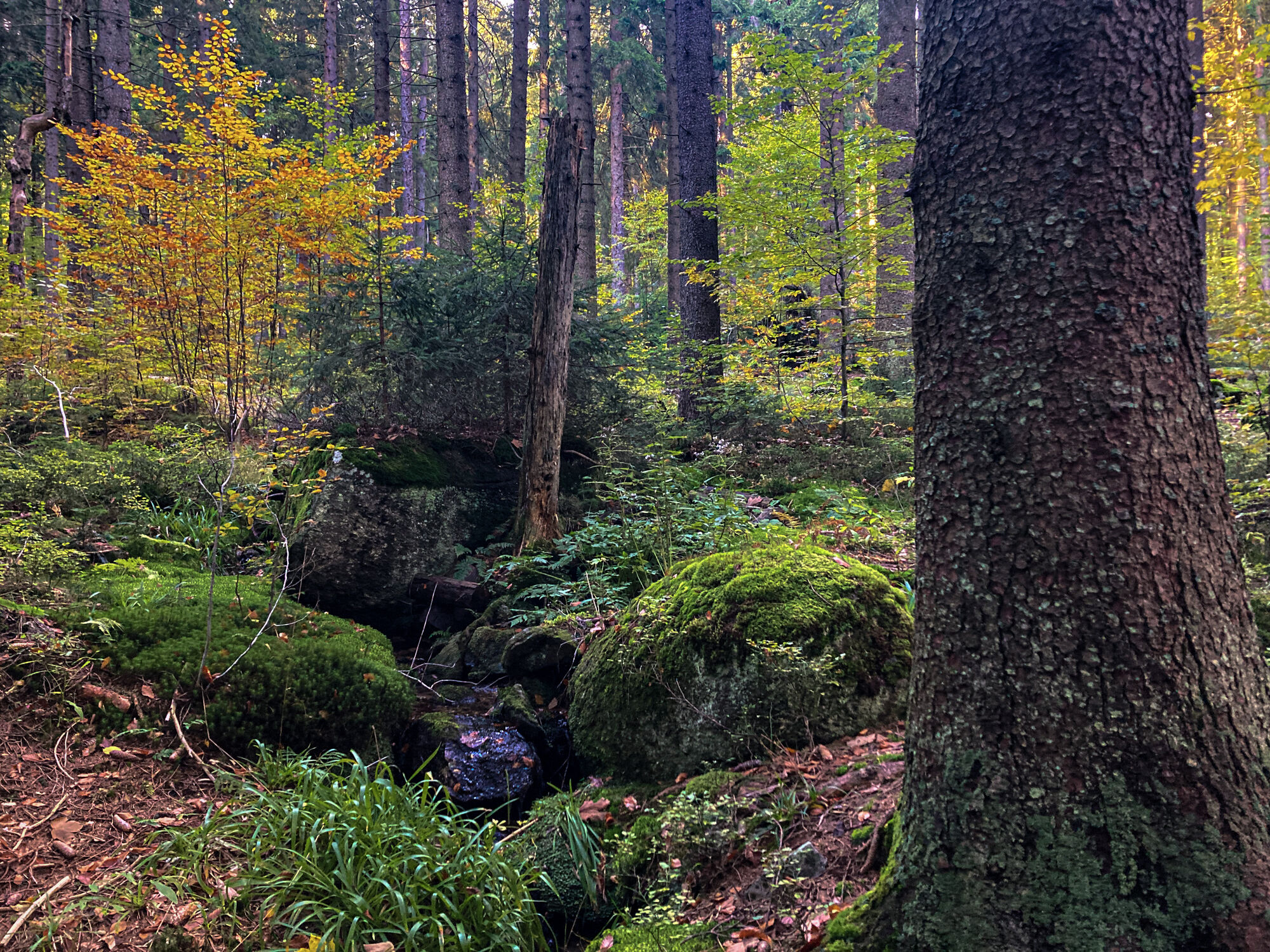
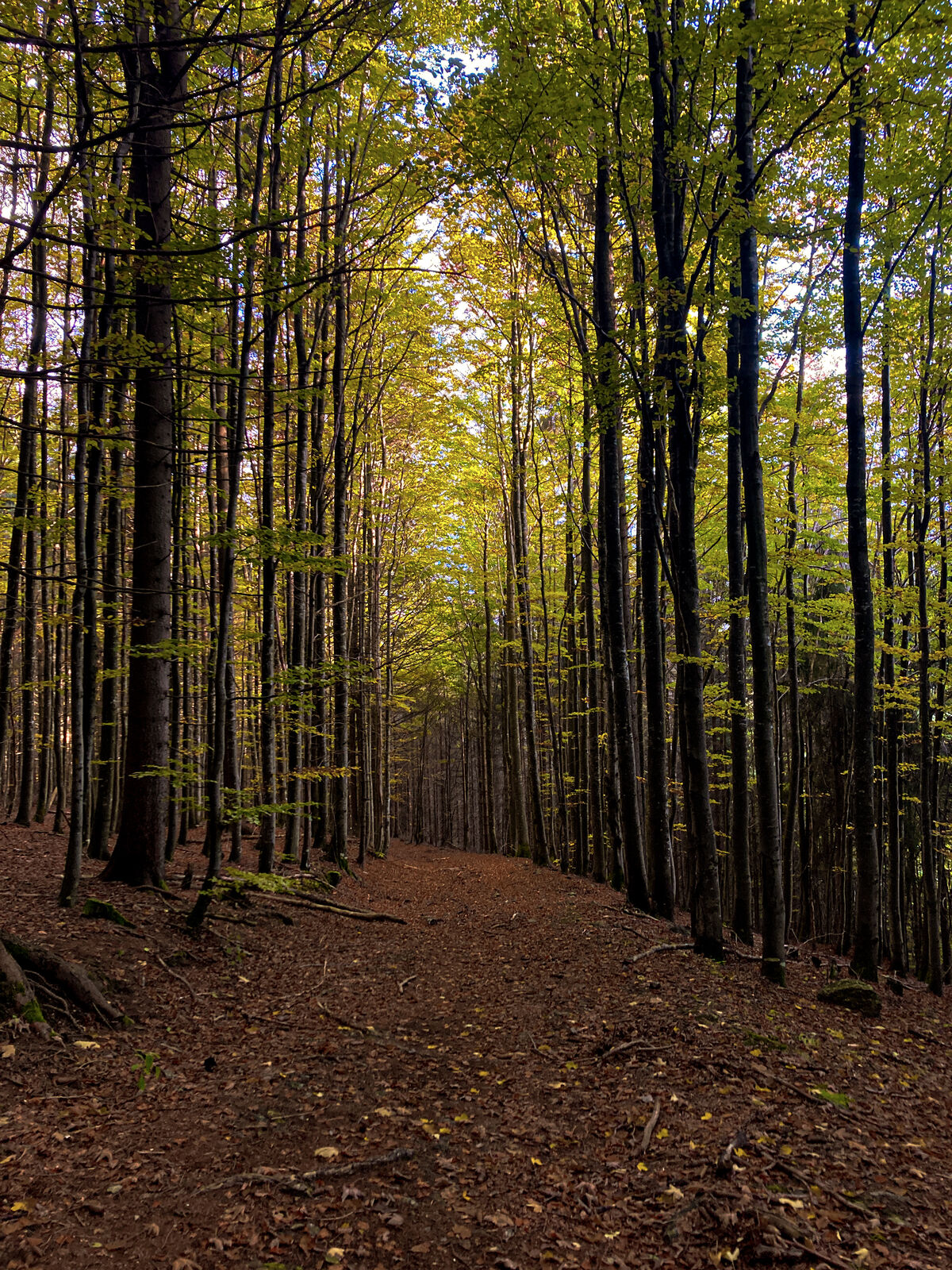
Šuma
(70%)
Stijena
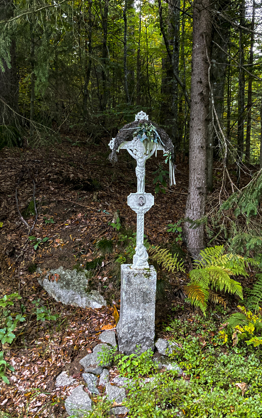
Istaknuto
Weitere Touren in den Regionen
-
Mühlviertel
1869
-
Ferienregion Böhmerwald
515
-
Ulrichsberg
201