Donausteig Stage 3_S05 Wilhering - Linz: „Over the Prinzensteig through the Linzer Gateway"


- Kratak opis
-
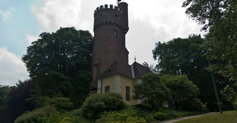
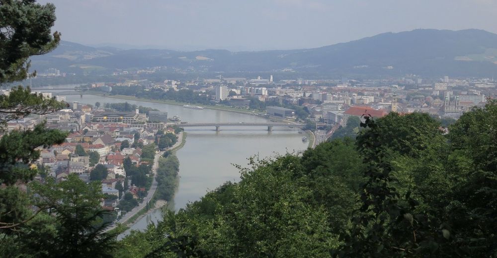
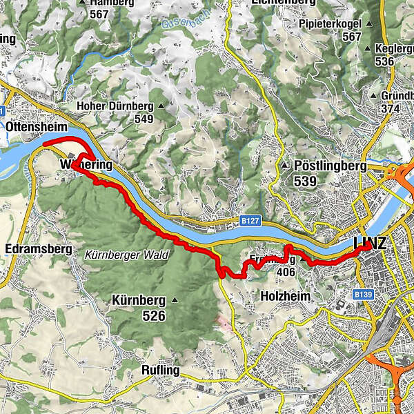
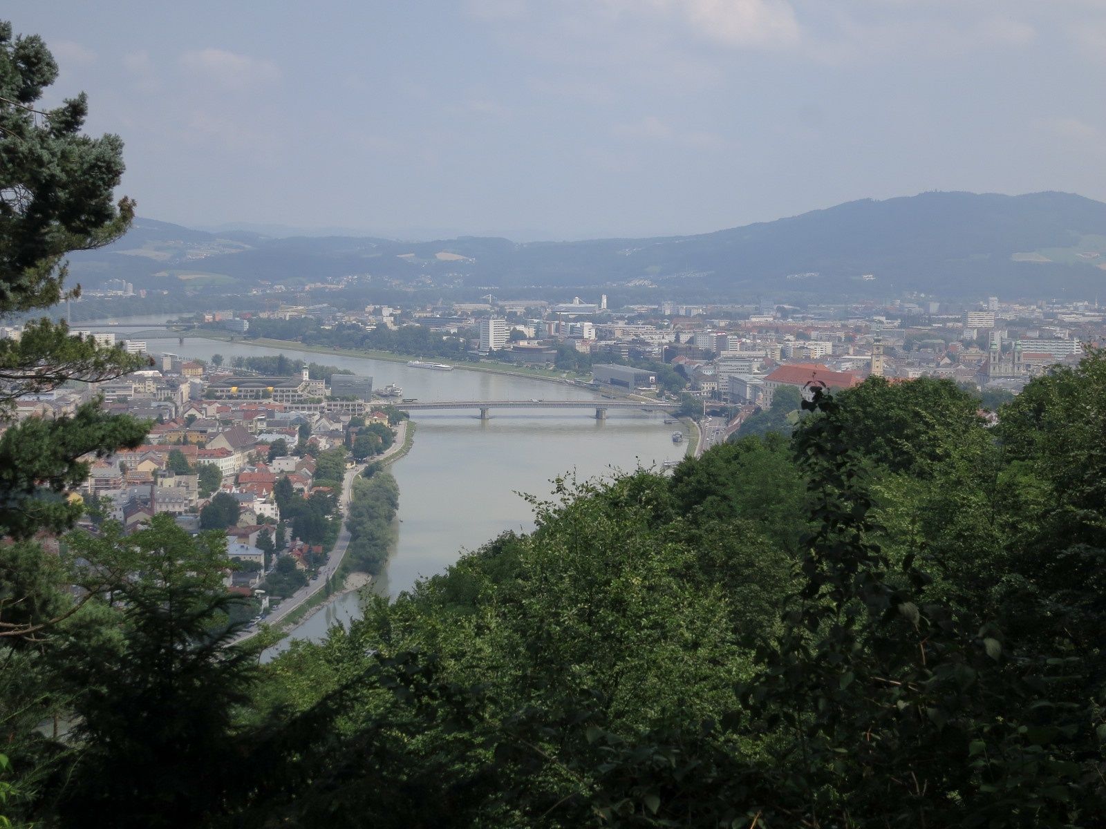
The Donausteig-simply fabulous! This stage leads us from Wilhering in the fertile Eferding basin through the forest Donauengtal (valley) of the Linzer gateway to the Linzer basin and Linz. We discover the ancient settlement of Wilhering, one of the most beautiful monasteries of the German-speaking area, the innovative Maximillian fortress, a true capital of culture between history and modernity...
- Teškoća
-
srednje
- Vrednovanje
-
- Wegverlauf
-
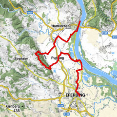
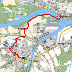
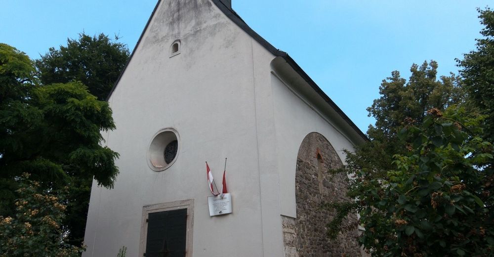
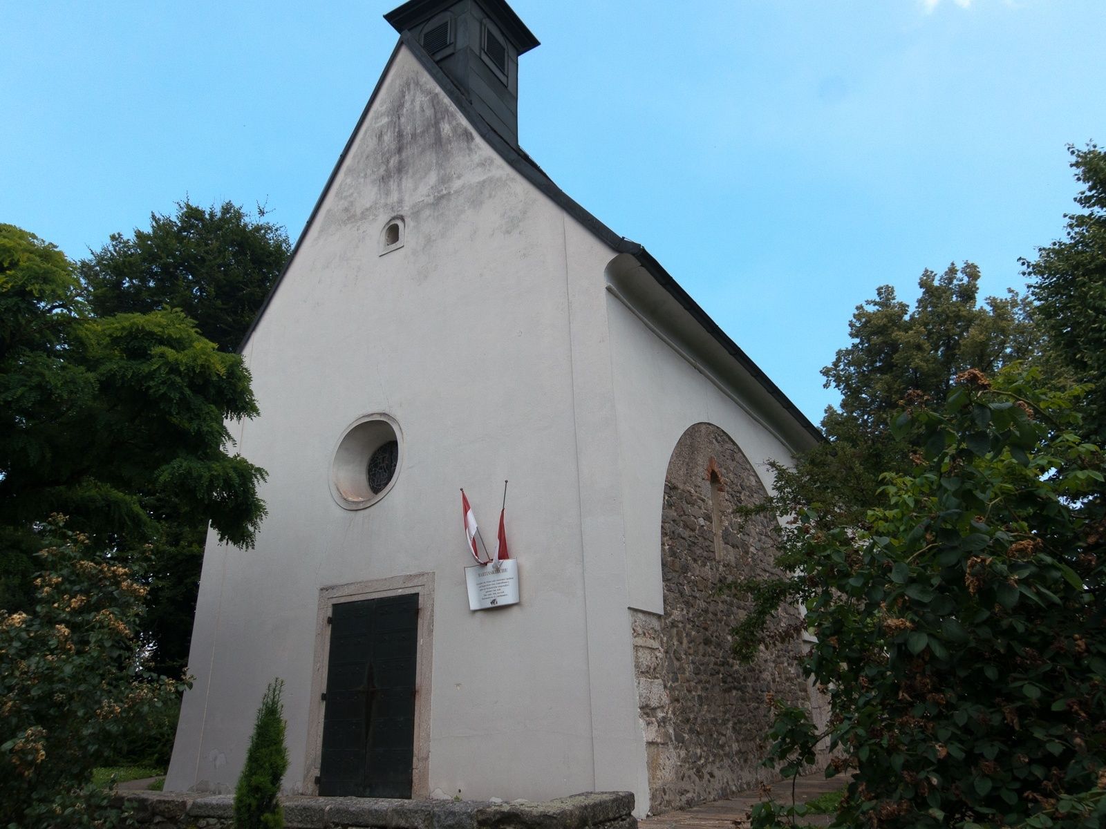
Wilhering UferOttensheimWilhering2,5 kmFriesenegg8,8 kmZaubertal9,8 kmMaria-Thal Kapelle10,4 kmHeiliges-Grab Kapelle10,5 kmKalvarienbergkirche St. Margarethen10,5 kmFreinberg (406 m)11,1 kmBarbarakapelle11,2 kmFreinberg11,3 kmSpielplatz Kaisereiche11,3 kmSt. Martin’s Church12,5 kmAltstadtviertel12,9 kmLinz (266 m)13,0 km
- Beste Jahreszeit
-
sijveljožutrasvilipsrpkolrujlisstupro
- Höchster Punkt
- 391 m
- Zielpunkt
-
Linz- Main square (Linz has two Donausteig-starting points, however this one lies very central: The Donausteig-starting point for stage „3_S06 Linz-Enns“ is located on the east exit of the Linzer Schlosses (castle); the Donausteig-starting point for the stage „3_N07 Linz-Steyregg“ is located in Urfahr on the danube embankment in front of the Ars-Electronica-Center).
- Höhenprofil
-


- Autor
-
Die Tour Donausteig Stage 3_S05 Wilhering - Linz: „Over the Prinzensteig through the Linzer Gateway" wird von outdooractive.com bereitgestellt.


Opće informacije
-
Mühlviertel
1784
-
Linz & Region Linz
847
-
Puchenau
331