© WGD Donau Oberösterreich Tourismus GmbH/Erber - Erber

© WGD Donau Oberösterreich Tourismus GmbH/Andreas Kranzmayr - Andreas Kranzmayr

© WGD Donau Oberösterreich Tourismus GmbH/Andreas Kranzmayr - Andreas Kranzmayr

© WGD Donau Oberösterreich Tourismus GmbH/Erber - Erber
© WGD Donau Oberösterreich Tourismus GmbH/Erber - Erber
© WGD Donau Oberösterreich Tourismus GmbH/Weissenbrunner
© WGD Donau Oberösterreich Tourismus GmbH/Kranzmayr
© WGD Donau Oberösterreich Tourismus GmbH/Kranzmayr

© WGD Donau Oberösterreich Tourismus GmbH/Kranzmayr
© WGD Donau Oberösterreich Tourismus GmbH/Weissenbrunner


- Kratak opis
-
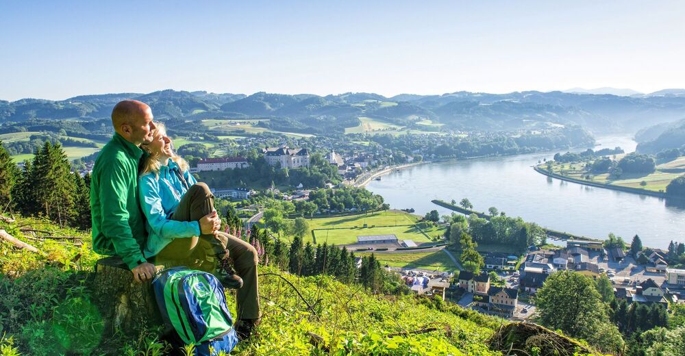
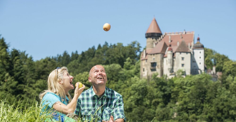
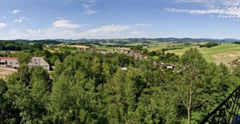
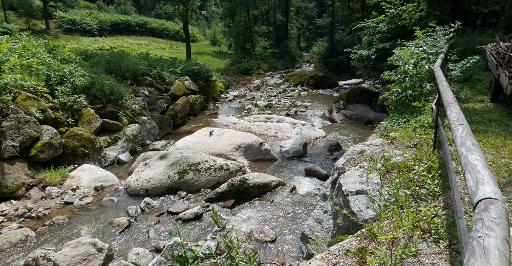
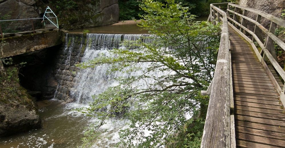
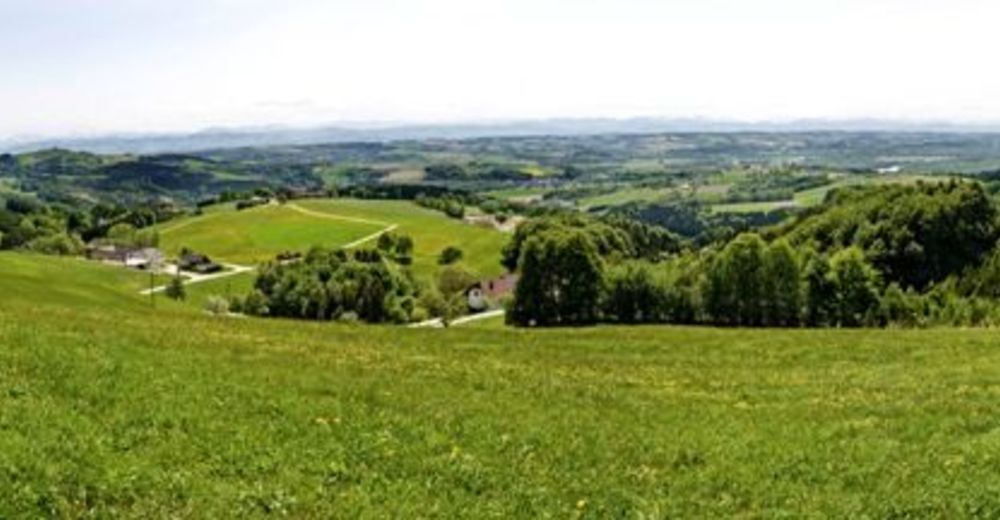
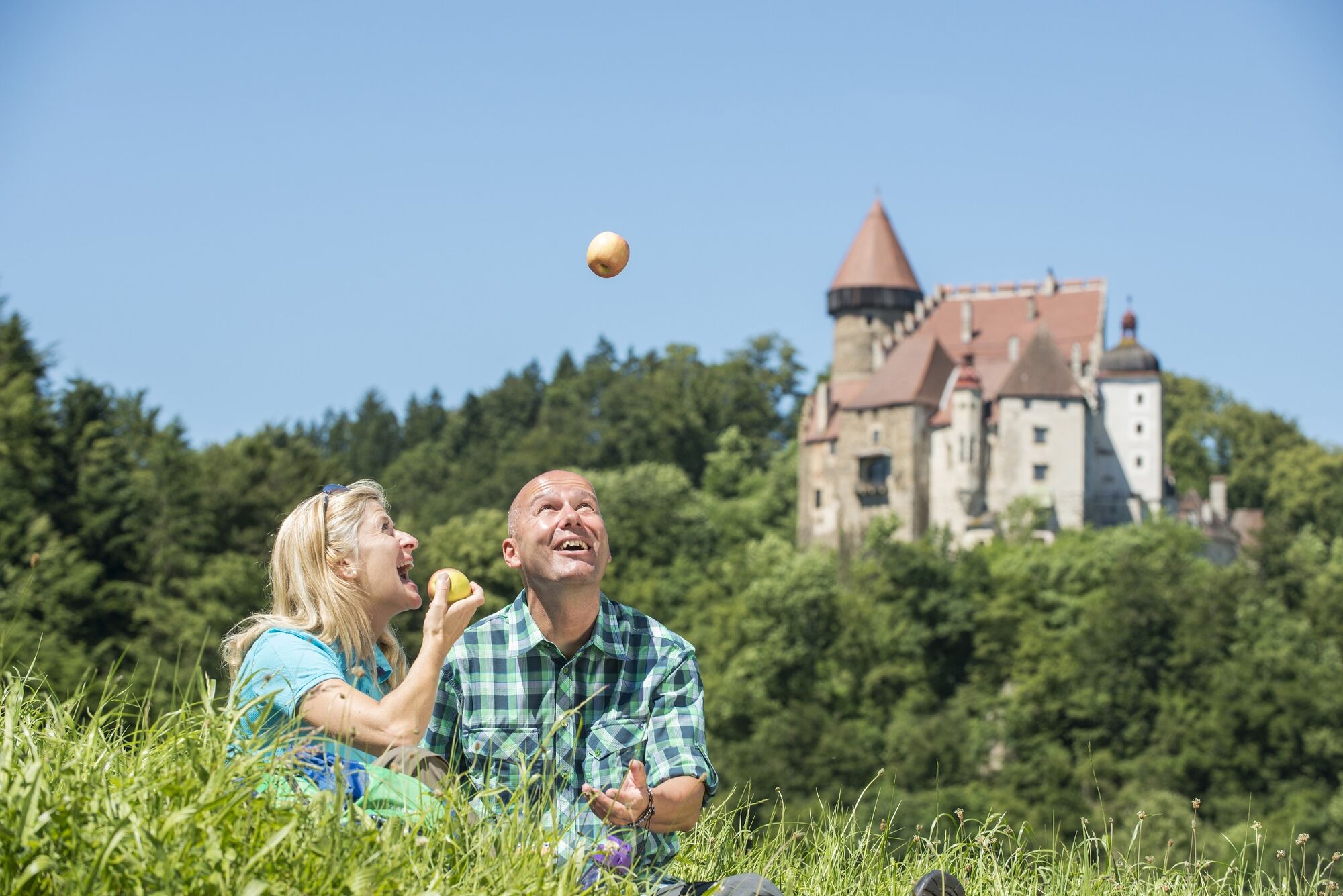
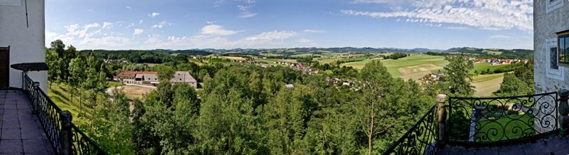
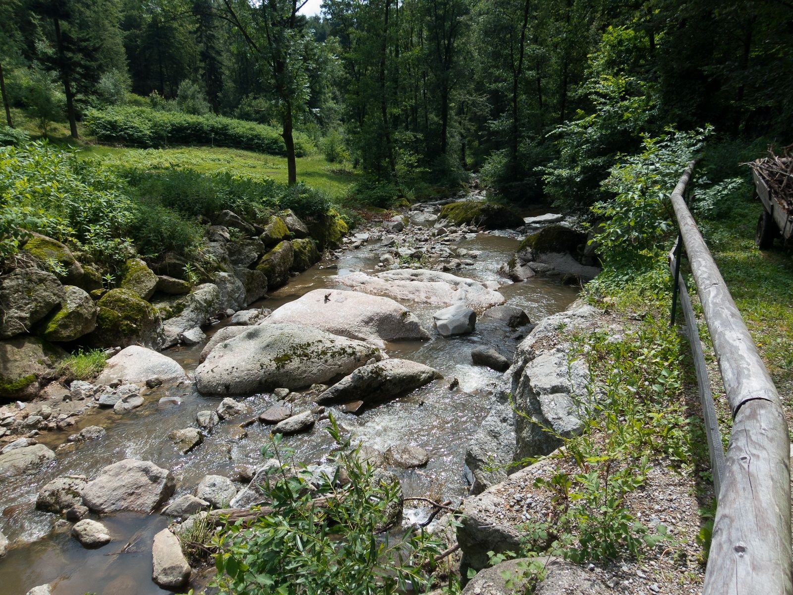
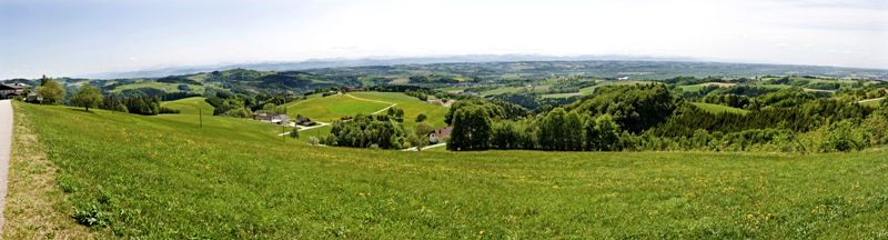
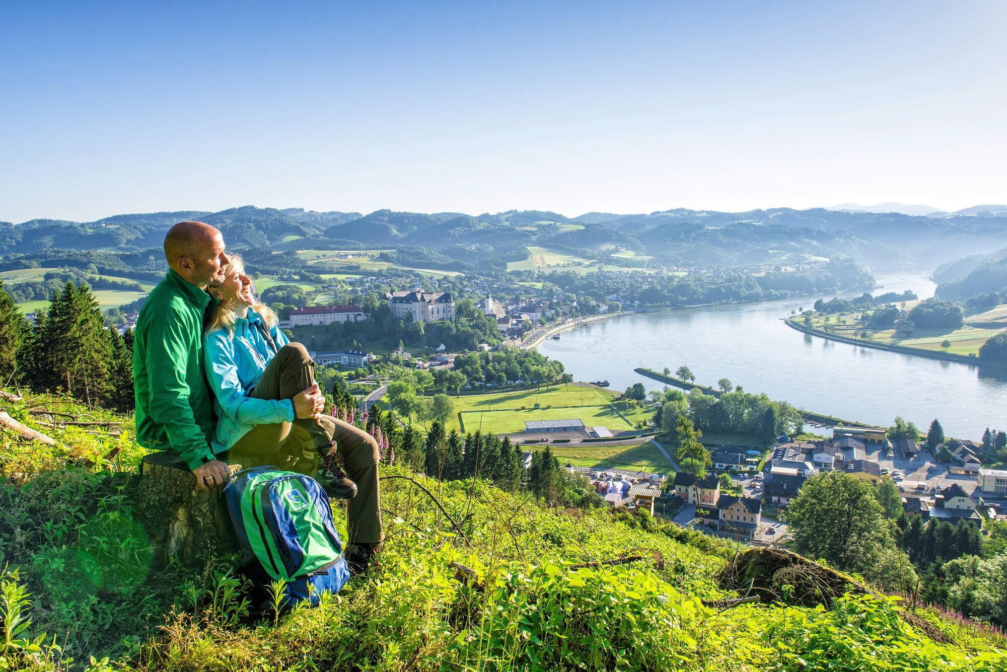
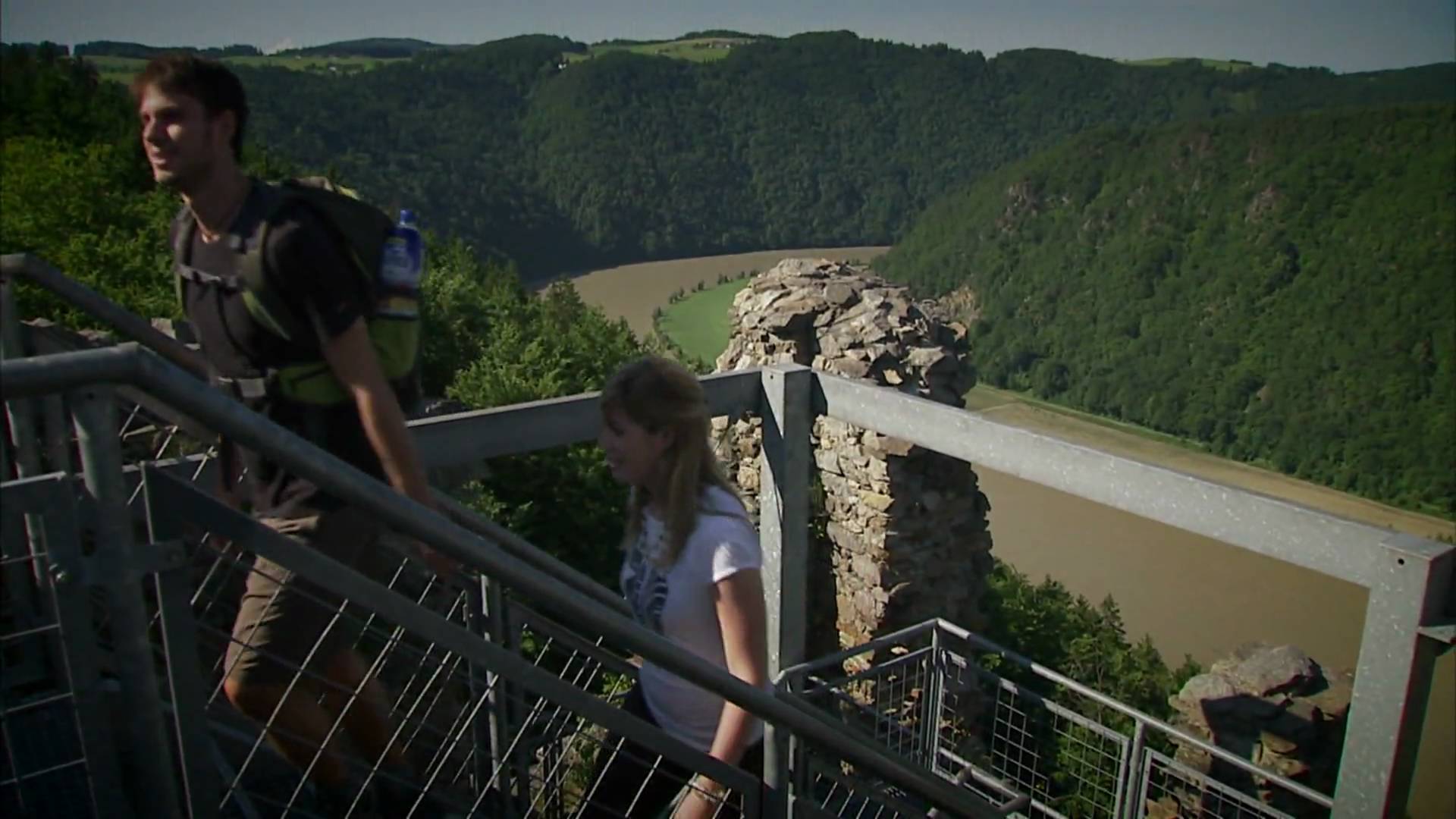
The Donausteig - simply fabulous! Summit assault onto the Gobelwarte - one of the seven Donausteig-peaks. We are moving from the plains of fertile Machland over the promising Gobelwarte into the narrow Donaukerbtal (valley) of the Strudengaus. We discover the "Machlanddamm (dam)" the project of the century, a collegiate church without an abbey, a castle in which history lives, the inspiring Klamschlucht (gorge)...
- Teškoća
-
teška
- Vrednovanje
-
- Wegverlauf
-
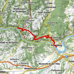
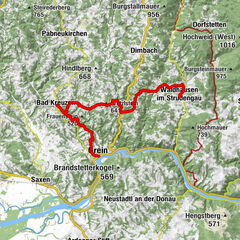
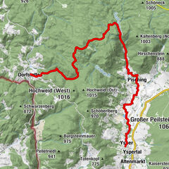
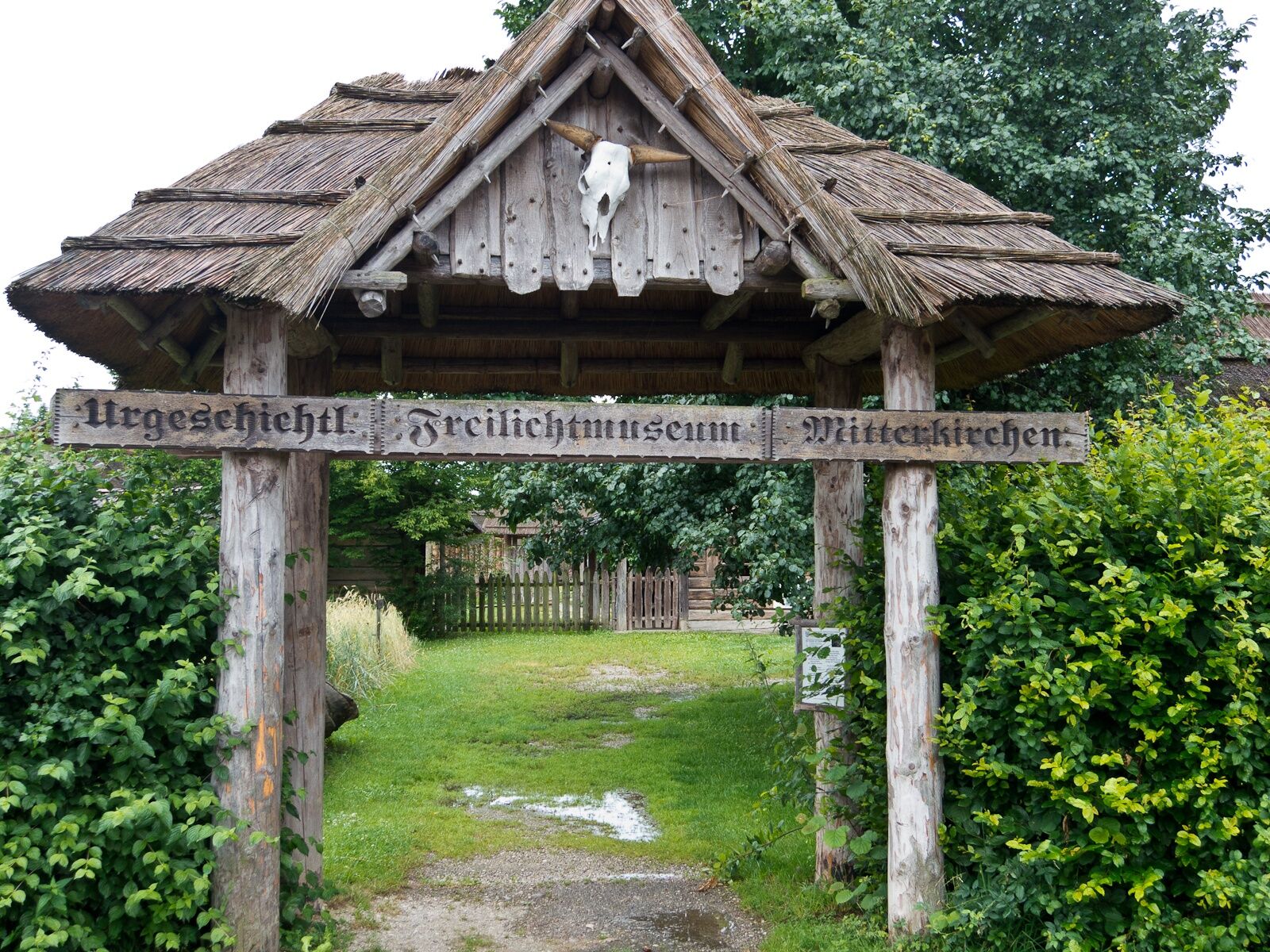
Mitterkirchen im MachlandLabing1,0 kmMostschänke Fam. Naderer1,8 kmLehen2,1 kmKühofen3,0 kmBruderau3,8 kmBaumgartenberg4,1 kmBlochy Wirt4,3 kmLandgasthof Rechberger5,4 kmSteindl5,9 kmAmesbach7,5 kmSperken9,1 kmBurgschenke9,8 kmKlam10,4 kmFriedwald11,6 kmAussichtsplattform11,6 kmSturmmühle11,9 kmAu12,3 kmSaxen13,1 kmGasthof Auer13,5 kmReitberg14,9 kmHubertuskapelle18,5 kmRastplatz Gobelwarte18,6 kmOberbergen18,7 kmUfer21,0 kmGrein22,1 km
- Beste Jahreszeit
-
sijveljožutrasvilipsrpkolrujlisstupro
- Höchster Punkt
- 468 m
- Zielpunkt
-
Grein – the Donausteig-starting point"Grein" is at the Donaulände (park) in a green area between the main road and the parking lots in the direction of the city (Opposite to the Cafe Schinagl with the ferry dock of the opposite tourism Oberösterreich Touristik- the only House directly on the Donaulände!)
- Höhenprofil
-


- Autor
-
Die Tour Mitterkirchen – Grein Stage wird von outdooractive.com bereitgestellt.
GPS Downloads


Opće informacije
Einkehrmöglichkeit
Kulturell/Historisch
Geheimtipp
Aussichtsreich
Weitere Touren in den Regionen
-
Mühlviertel
1784
-
Strudengau
799
-
Klam
155