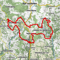
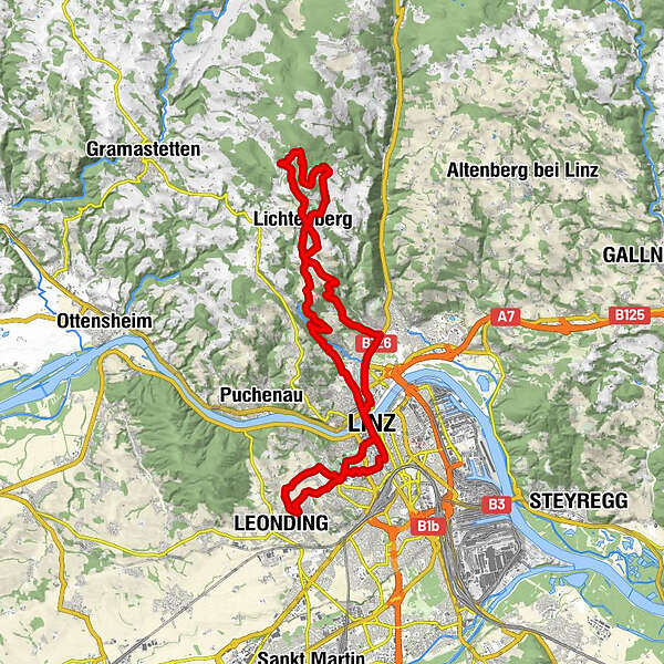
Podaci o ruti
35,27km
250
- 888m
736hm
02:30h
- Kratak opis
-
Trainingsrunde
- Vrednovanje
-
- Polazna točka
-
Leonding
- Wegverlauf
-
Leonding0,3 kmHolzheim1,6 kmBinder-im-Rath-Kapelle3,0 kmKapuzinerkirche4,0 kmDiamantweg Zentrum der Karma Kagyü Linie5,0 kmAltstadtviertel5,0 kmLinz (266 m)5,1 kmDonaubus Anlegestelle5,4 kmAlt-Urfahr5,5 kmHinsenkampplatz5,7 kmUrfahr6,0 kmAltlichtenberg11,8 kmLichtenberg13,8 kmAsberg14,4 kmGasthaus zur Gis16,9 kmEsszimmer21,7 kmLichtenberg21,8 kmHarbach27,1 kmUrfahr29,0 kmHinsenkampplatz29,3 kmAlt-Urfahr29,6 kmDiamantweg Zentrum der Karma Kagyü Linie29,7 kmAltstadtviertel29,7 kmDonaubus Anlegestelle29,7 kmLinz (266 m)30,1 kmMozartkreuzung30,6 kmChurch of the Ursuline sisters30,6 kmKarmelitenkirche30,6 kmKirche Göttliches Kind Jesu31,2 kmBinder-im-Rath-Kapelle32,9 kmGruabn34,8 kmLeonding35,2 km
- Höchster Punkt
- 888 m
- Rast/Einkehr
-
Gasthaus zur Gis
GPS Downloads


Putevi
Asfalt
Šljunak
Planinske staze
Jednostruki tragovi
Pokus
Promet
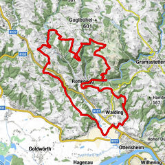
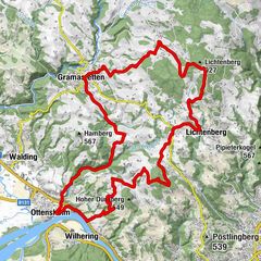
Weitere Touren in den Regionen
-
Mühlviertel
194
-
Linz & Region Linz
95
-
Lichtenberg
50