© Unbekannt - © T-Man
© Unbekannt - © T-Man

- Kratak opis
-
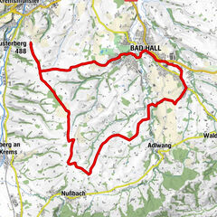
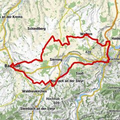
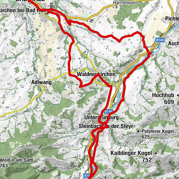
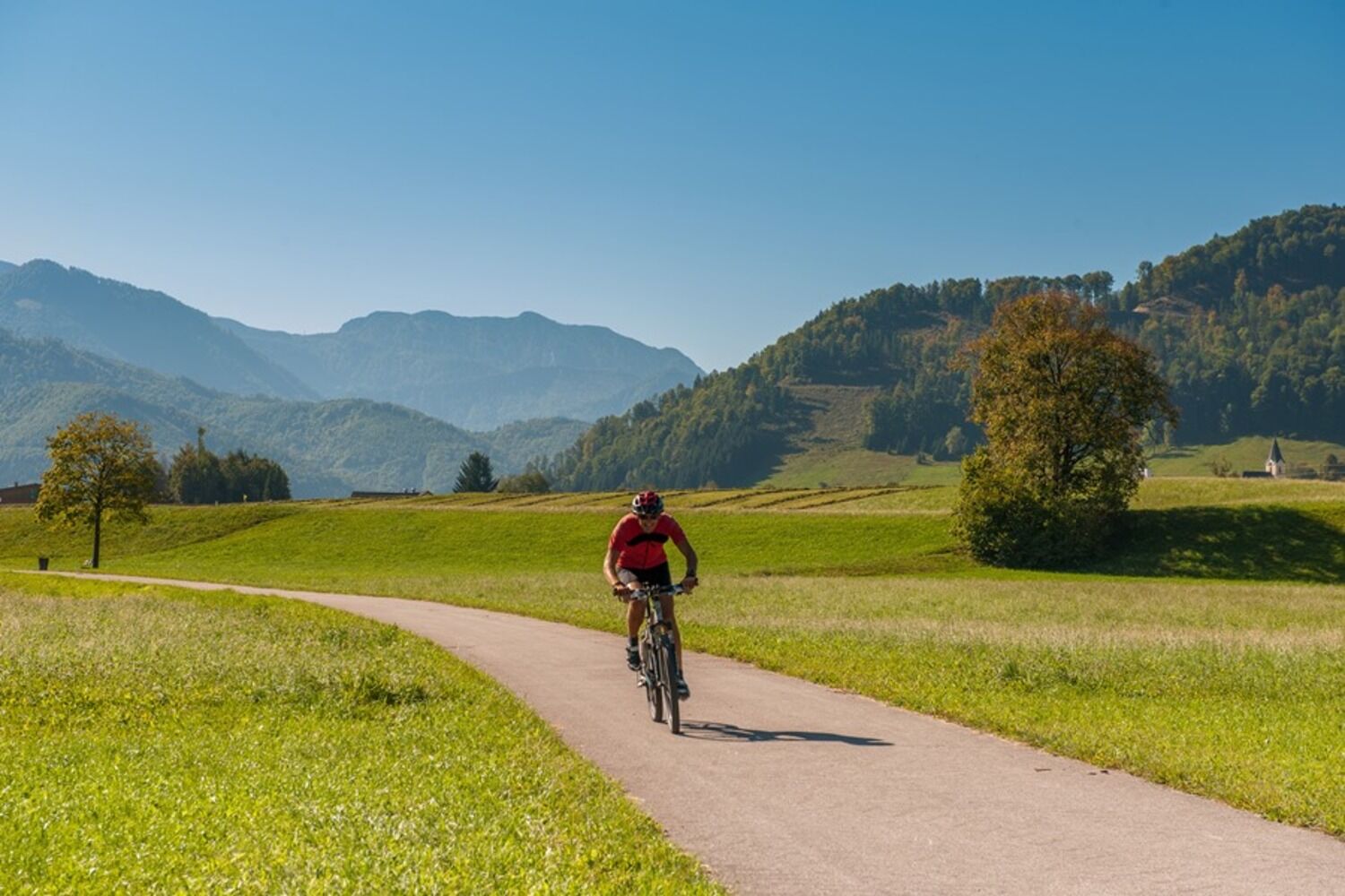
This about 35 km long round tour leads through the "land of hammers" in the middle Steyr Valley. First it goes from Bad Hall to Waldneukirchen, then further in the direction of Steinbach.
- Teškoća
-
srednje
- Vrednovanje
-
- Wegverlauf
-
Bad Hall0,1 kmWaldneukirchen8,1 kmDorftaverne8,1 kmUntergrünburg11,8 kmSteinbach an der Steyr12,4 kmObergrünburg14,7 kmSteinbach an der Steyr19,3 kmKirchenwirt Czerny19,5 kmPfarrkirche Steinbach19,5 kmUntergrünburg19,9 kmHaus des Gebetes29,4 kmSteingrub32,1 kmBad Hall34,6 km
- Beste Jahreszeit
-
sijveljožutrasvilipsrpkolrujlisstupro
- Höchster Punkt
- 465 m
- Zielpunkt
-
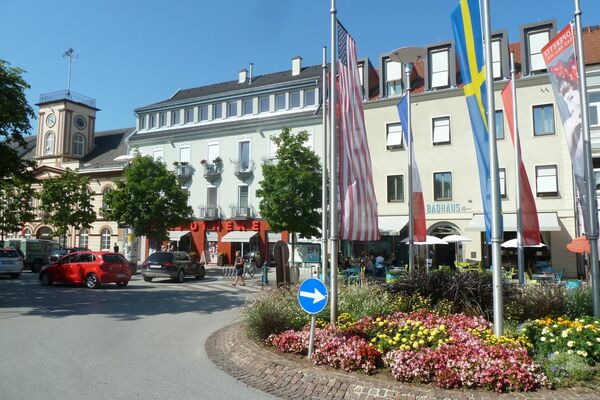
Bad Hall, Eduard-Bach-Straße (Forum Hall)
- Höhenprofil
-

-

-
AutorDie Tour Knifemakers’ Trail wird von outdooractive.com bereitgestellt.
GPS Downloads


Opće informacije
Einkehrmöglichkeit
Kulturell/Historisch
Aussichtsreich
Weitere Touren in den Regionen