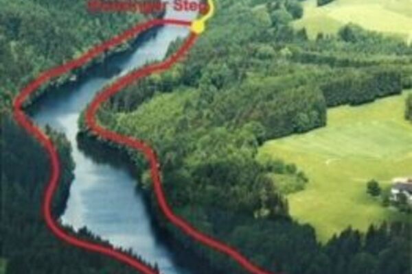
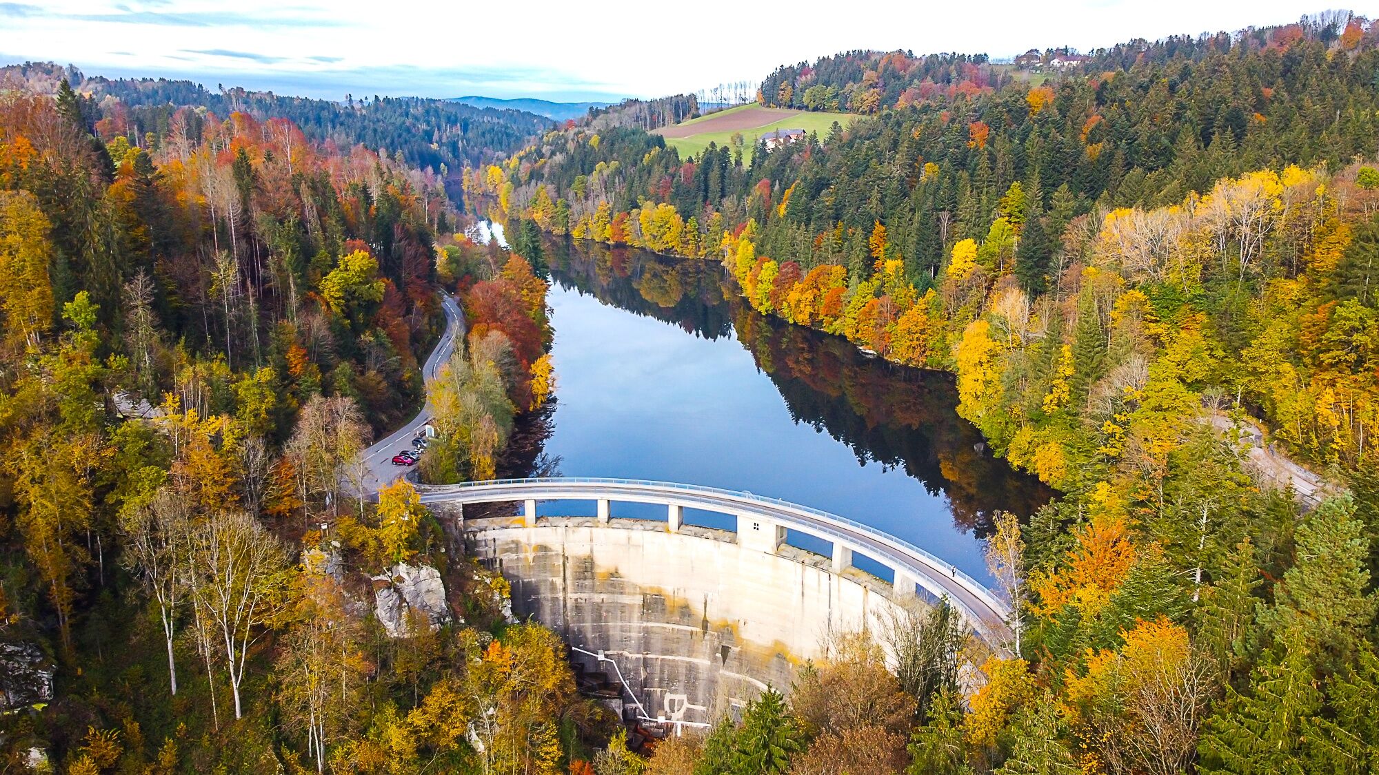
Lake trail- combines Ranna swimming lake and Ranna reservoir


© Gästeverein Neustift i.M. - Karl Neissl

- Kratak opis
-
The trail links the two lakes in our municipality: Ranna swimming lake and Ranna reservoir with the dam wall
- Teškoća
-
srednje
- Vrednovanje
-
- Wegverlauf
-
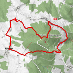
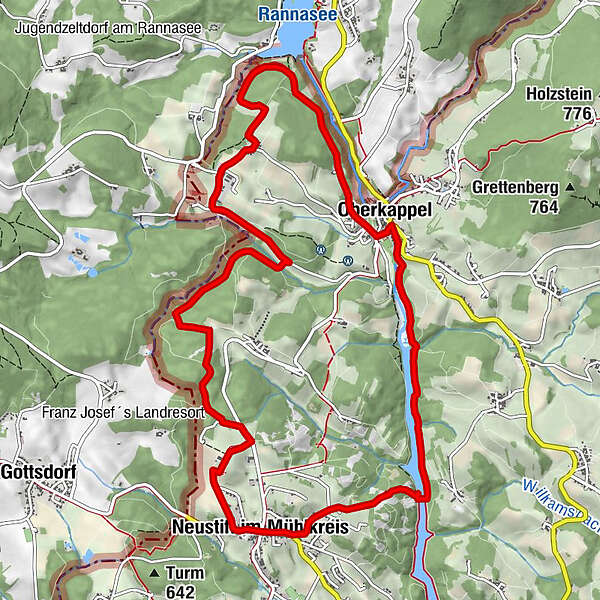
Neustift im MühlkreisGasthaus Wundsam0,0 kmHubertuskapelle1,1 kmHochreut4,8 kmDittmannsdorf5,6 kmKappel8,0 kmOberkappel8,6 kmNeustift im Mühlkreis12,7 kmGasthaus Wundsam12,7 km
- Beste Jahreszeit
-
sijveljožutrasvilipsrpkolrujlisstupro
- Höchster Punkt
- 640 m
- Zielpunkt
-
Local square Neustift i.M.
- Höhenprofil
-

- Autor
-
Die Tour Lake trail- combines Ranna swimming lake and Ranna reservoir wird von outdooractive.com bereitgestellt.
GPS Downloads


Opće informacije
Einkehrmöglichkeit
Fauna
Aussichtsreich
Weitere Touren in den Regionen
-
Innviertel
797
-
Ferienregion Böhmerwald
479
-
Oberkappel
163