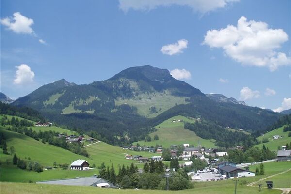
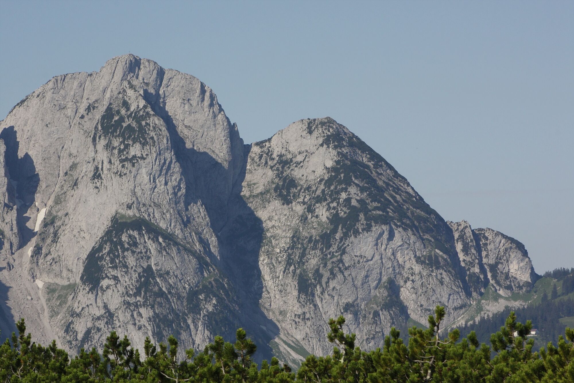
© Viorel Munteanu

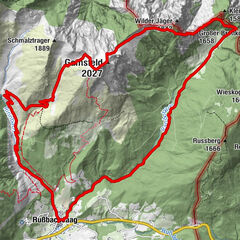
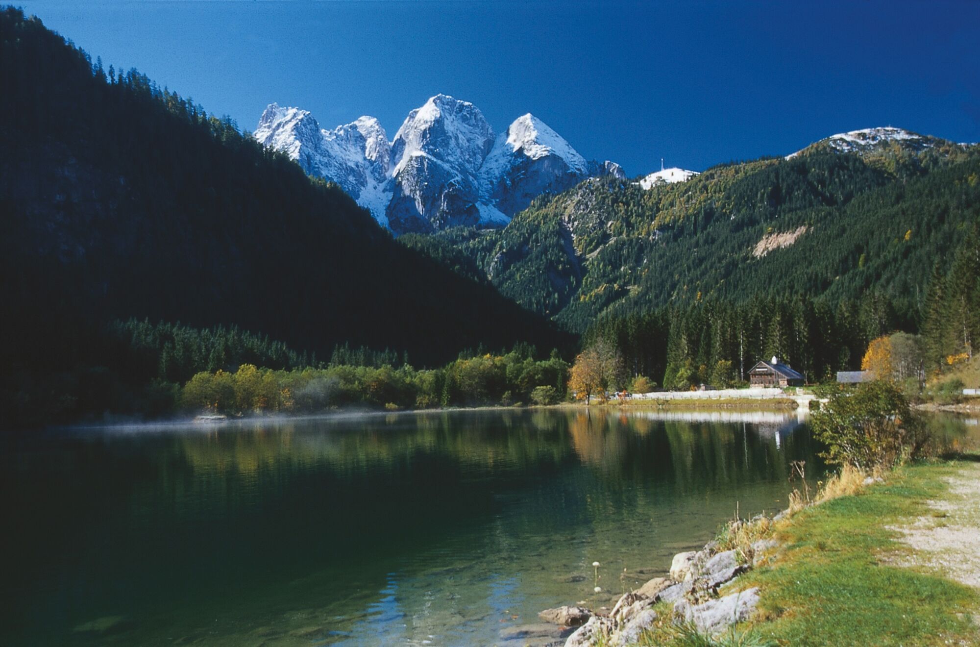
© Elisabeth Grill

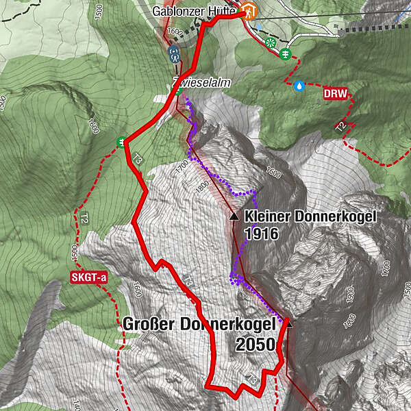
© Elisabeth Grill

- Kratak opis
-
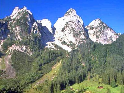
This tour takes about two hours from the mountain station of the cable car to the top.
- Teškoća
-
teška
- Vrednovanje
-
- Wegverlauf
-
Breininghütte0,0 kmGroßer Donnerkogel (2.050 m)2,1 km
- Beste Jahreszeit
-
sijveljožutrasvilipsrpkolrujlisstupro
- Höchster Punkt
- 2.026 m
- Höhenprofil
-

- Autor
-
Die Tour Tour to the Donnerkogel wird von outdooractive.com bereitgestellt.
GPS Downloads


Opće informacije
Einkehrmöglichkeit
Weitere Touren in den Regionen