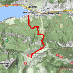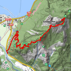
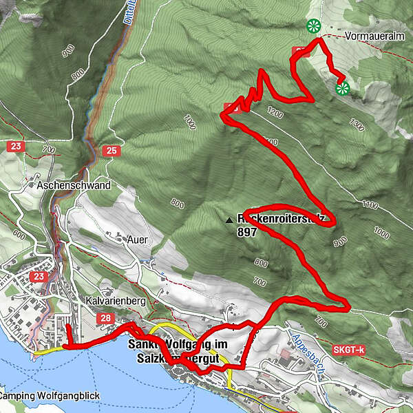
Podaci o ruti
14,48km
538
- 1.429m
897hm
898hm
03:31h
- Kratak opis
-
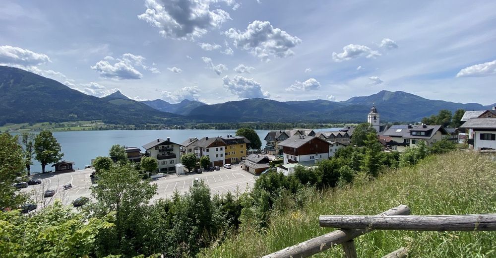
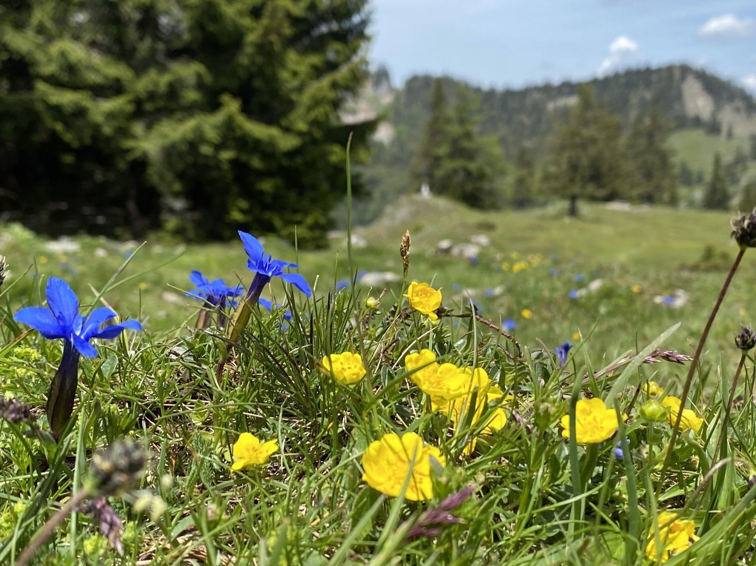
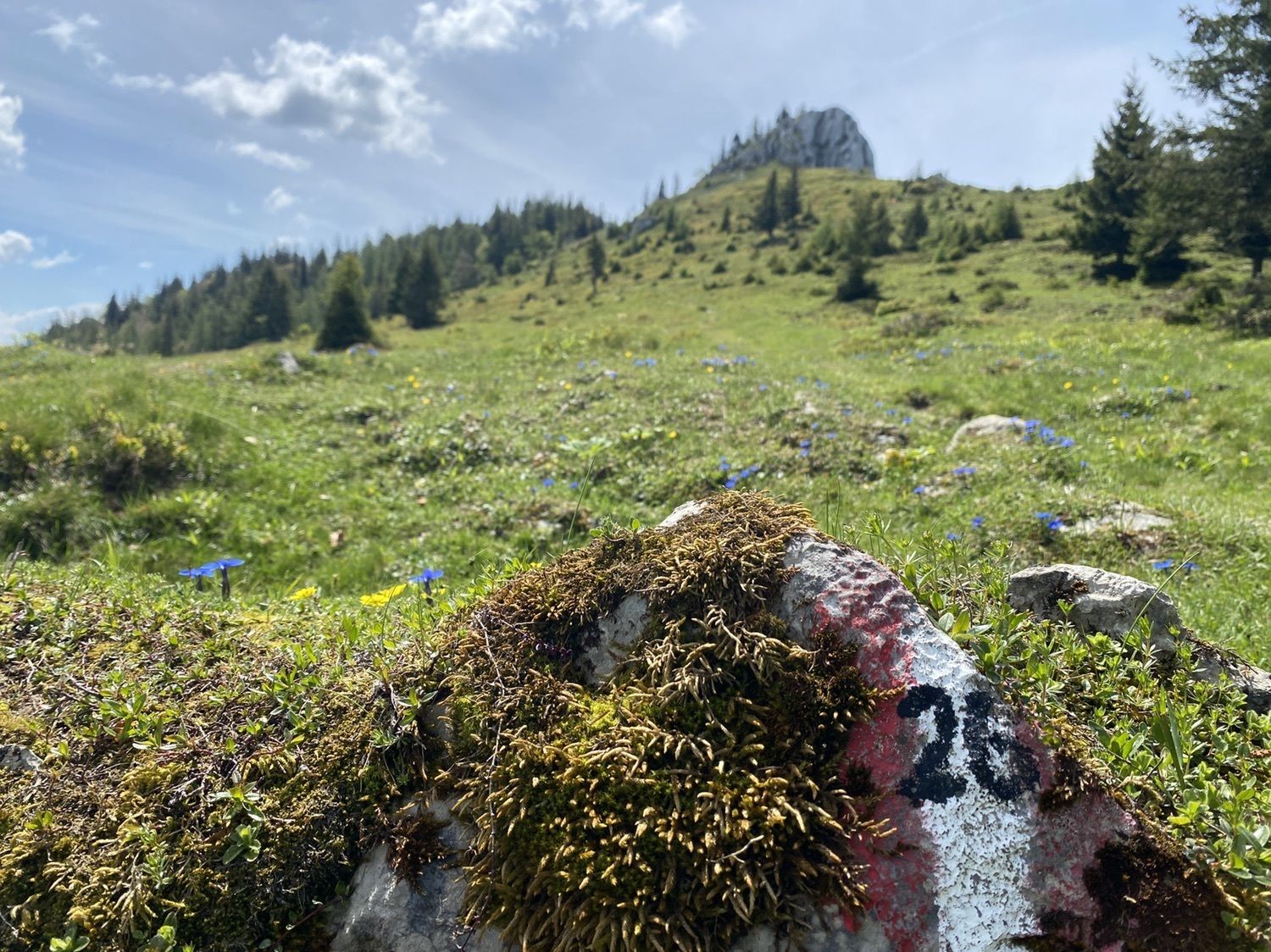
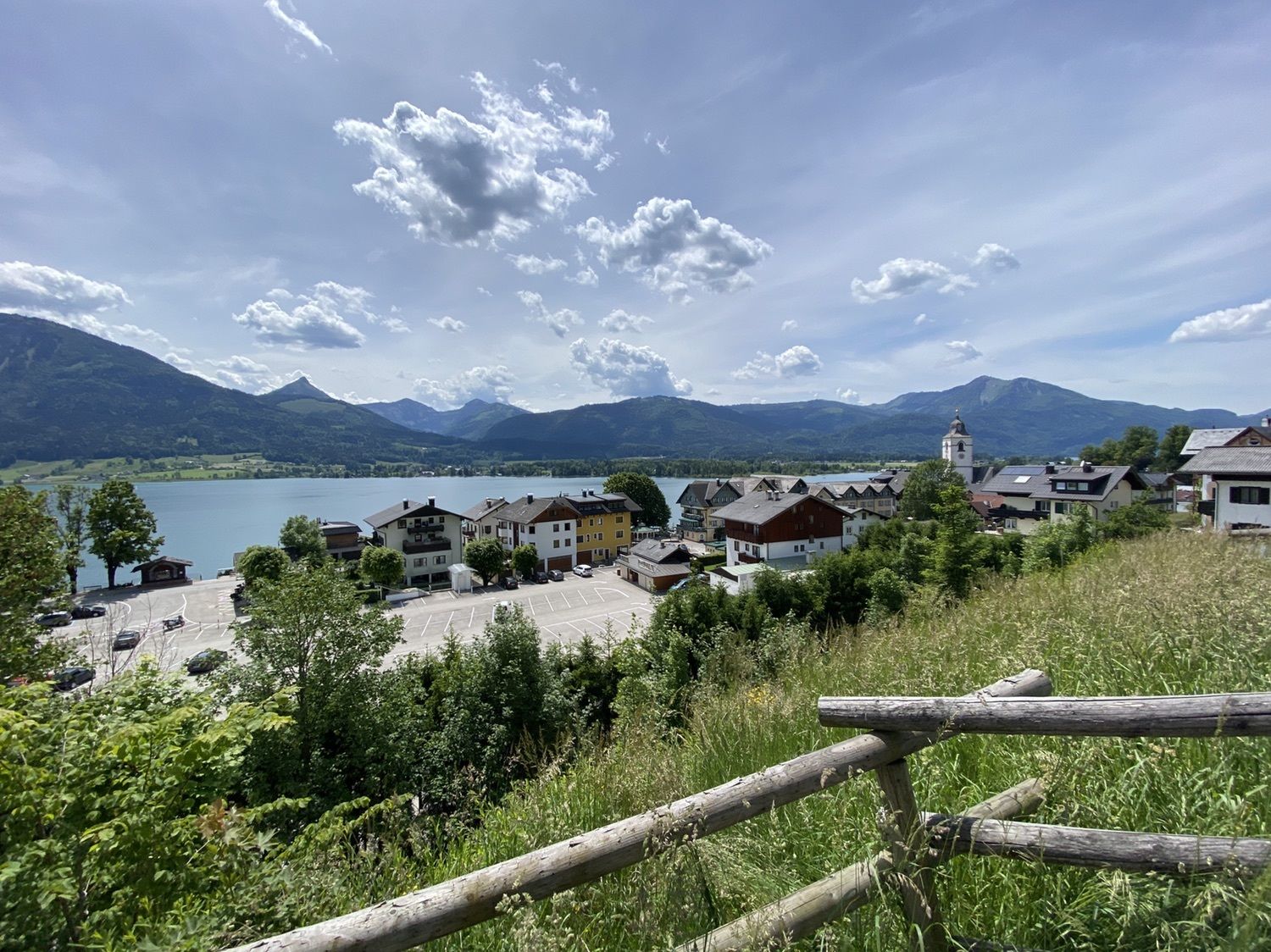
Von Ortszentrum auf zum Gipfel
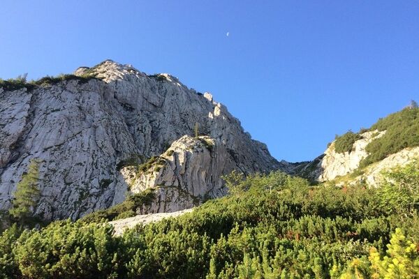
- Teškoća
-
srednje
- Vrednovanje
-
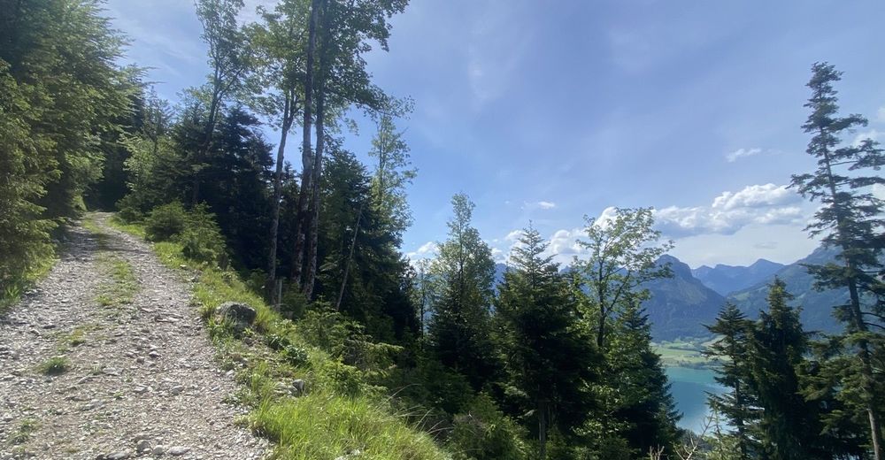
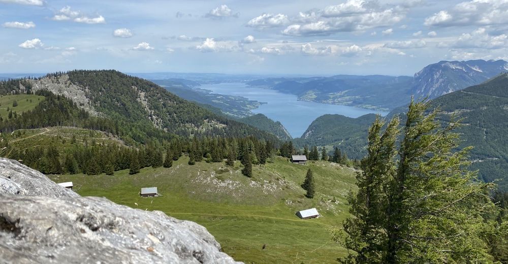
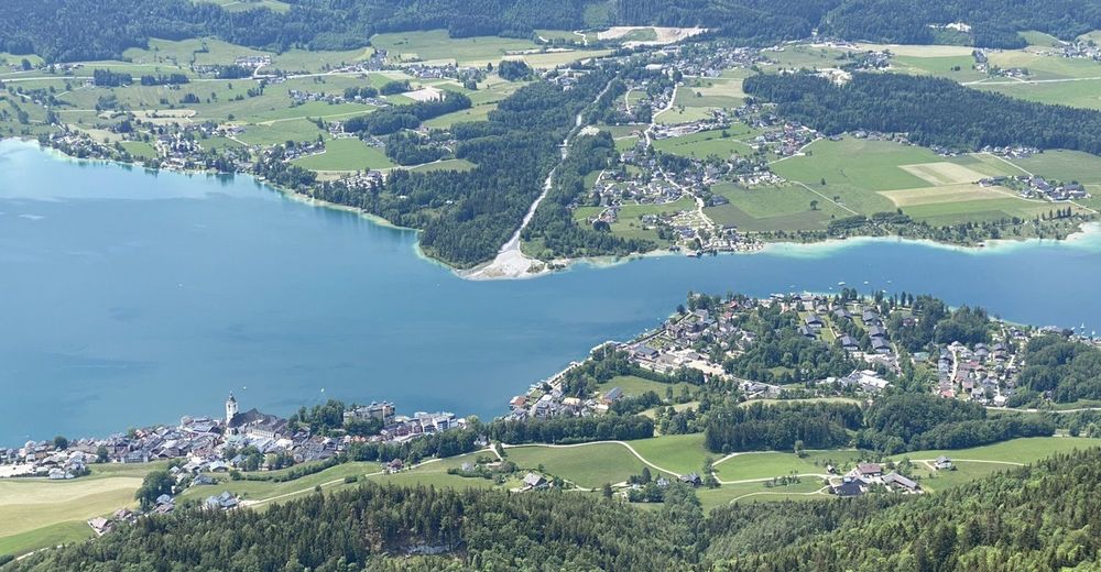
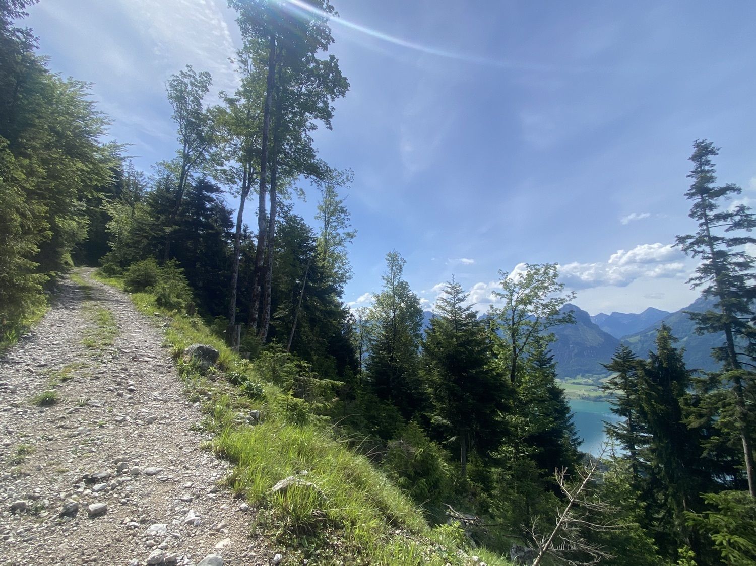
- Wegverlauf
-
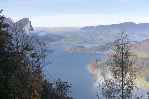
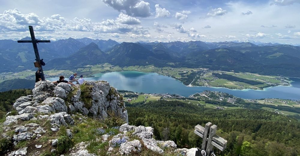
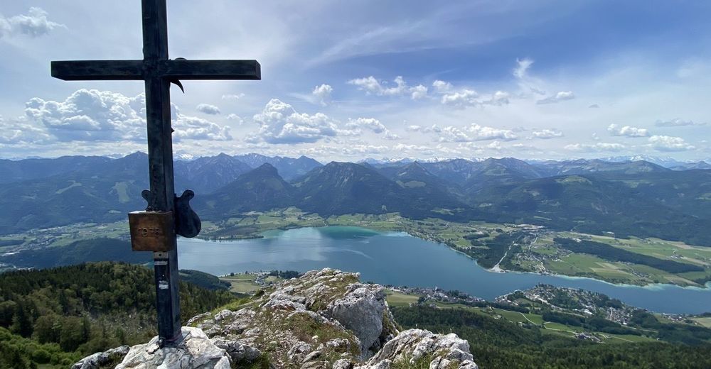
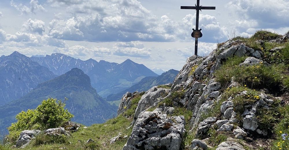
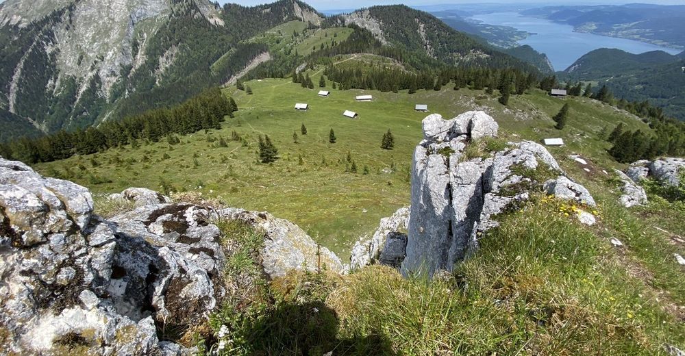
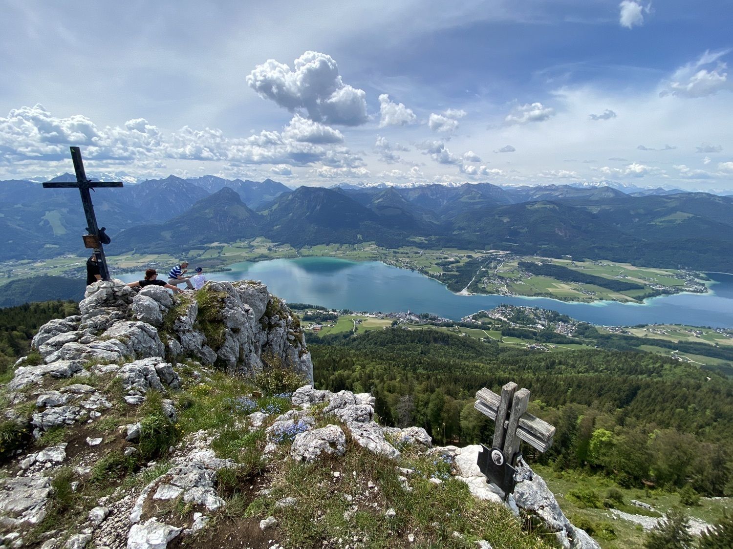
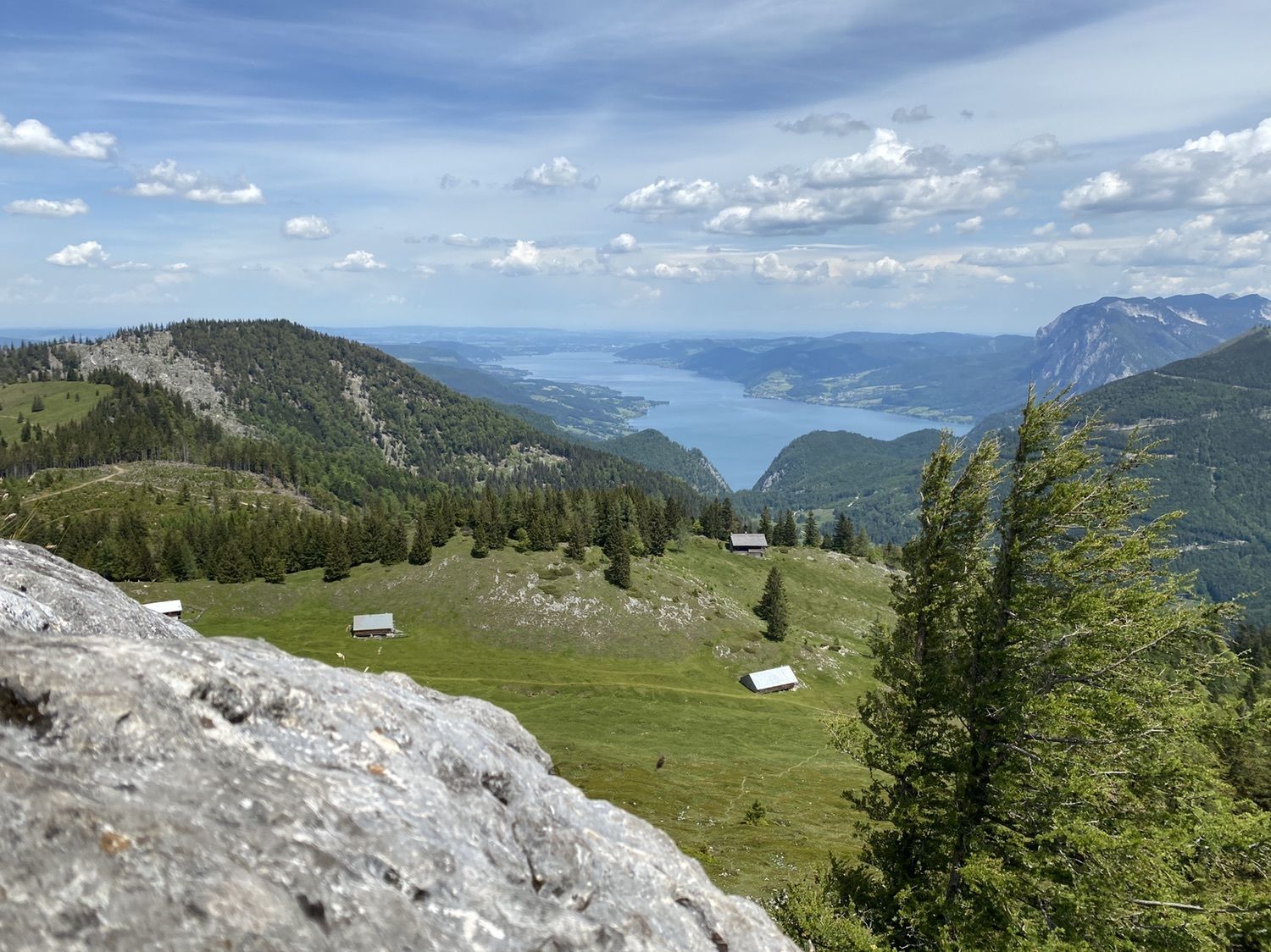
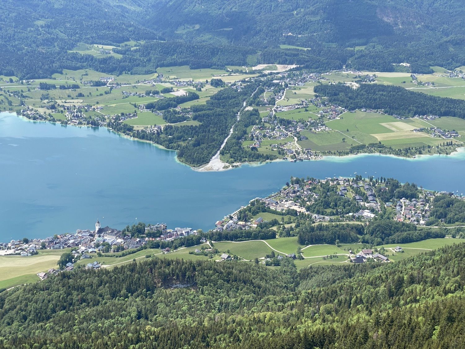
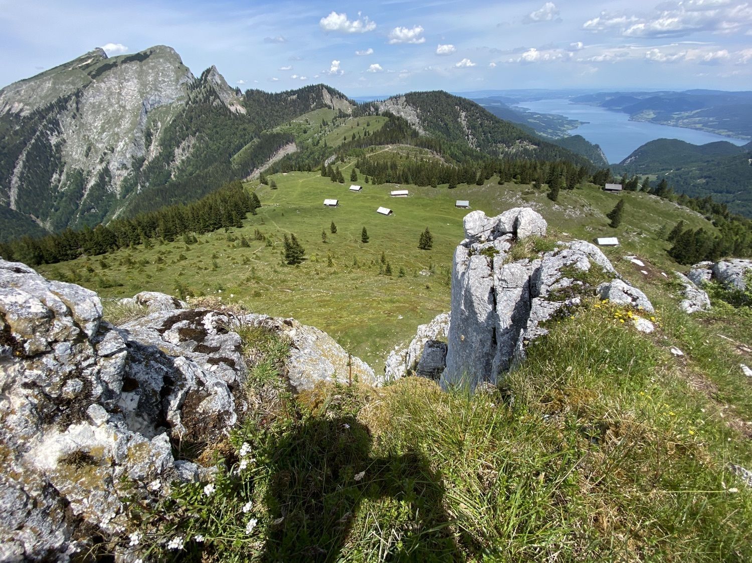
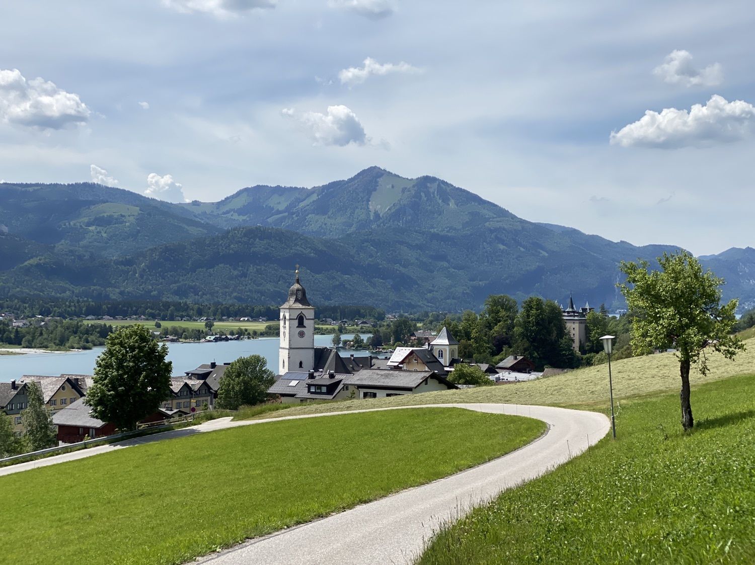
St. Wolfgang Schafbergbf (542 m)0,0 kmSchafbergbahn0,1 kmPfarrkirche St. Wolfgang0,8 kmSt. Wolfgang0,8 kmVormauerstein (1.450 m)7,2 kmSt. Wolfgang13,4 kmPfarrkirche St. Wolfgang13,4 kmSt. Wolfgang Schafbergbf (542 m)14,2 kmSchafbergbahn14,2 km
- Beste Jahreszeit
-
sijveljožutrasvilipsrpkolrujlisstupro
- Höchster Punkt
- 1.429 m


GPS Downloads


Weitere Touren in den Regionen