© TV Nationalpark Region Ennstal - Sandra Kraushofer

© TV Nationalpark Region Ennstal - Sandra Kraushofer

© TV Nationalpark Region Ennstal - Sandra Kraushofer

© TV Nationalpark Region Ennstal - Sandra Kraushofer

- Kratak opis
-
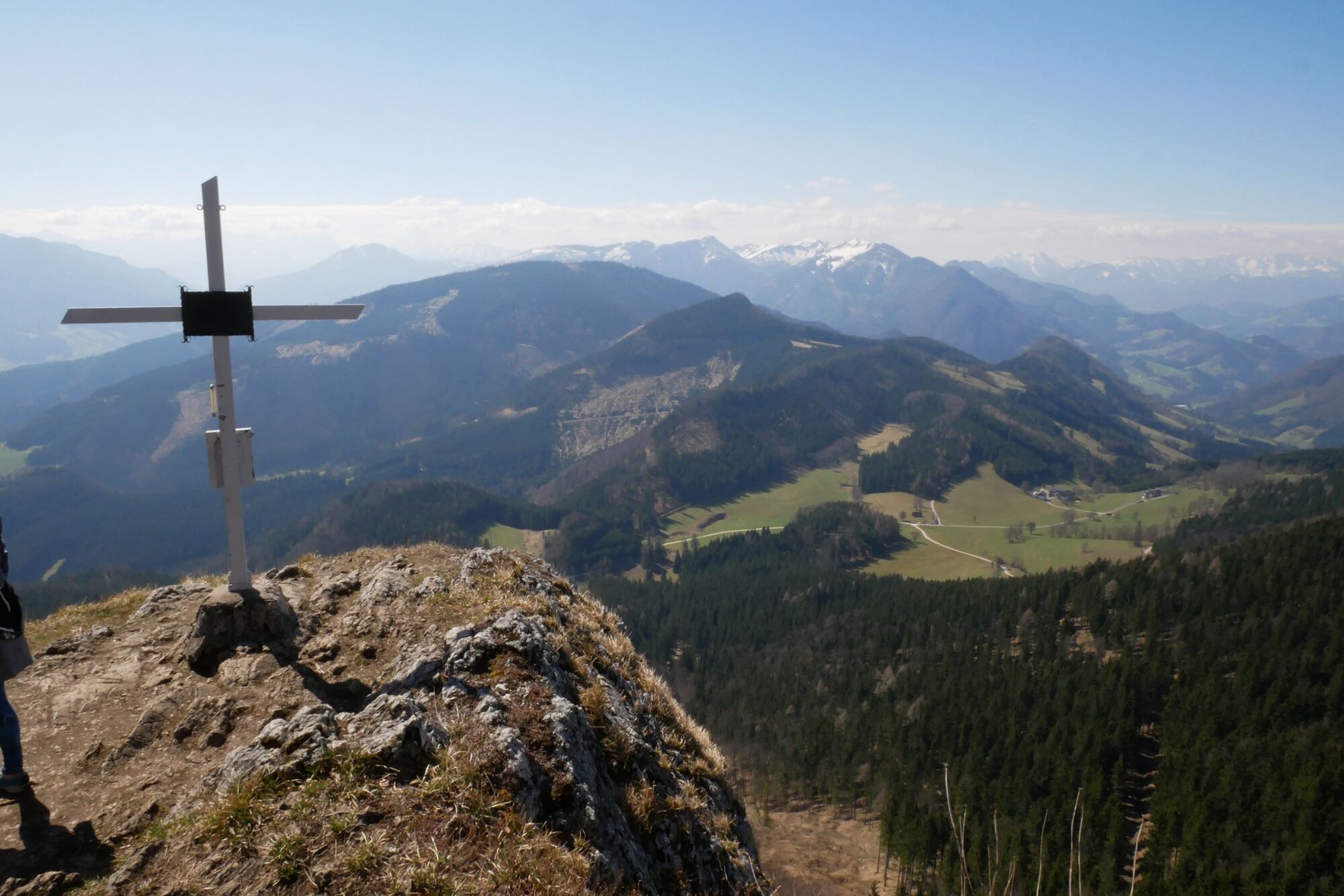
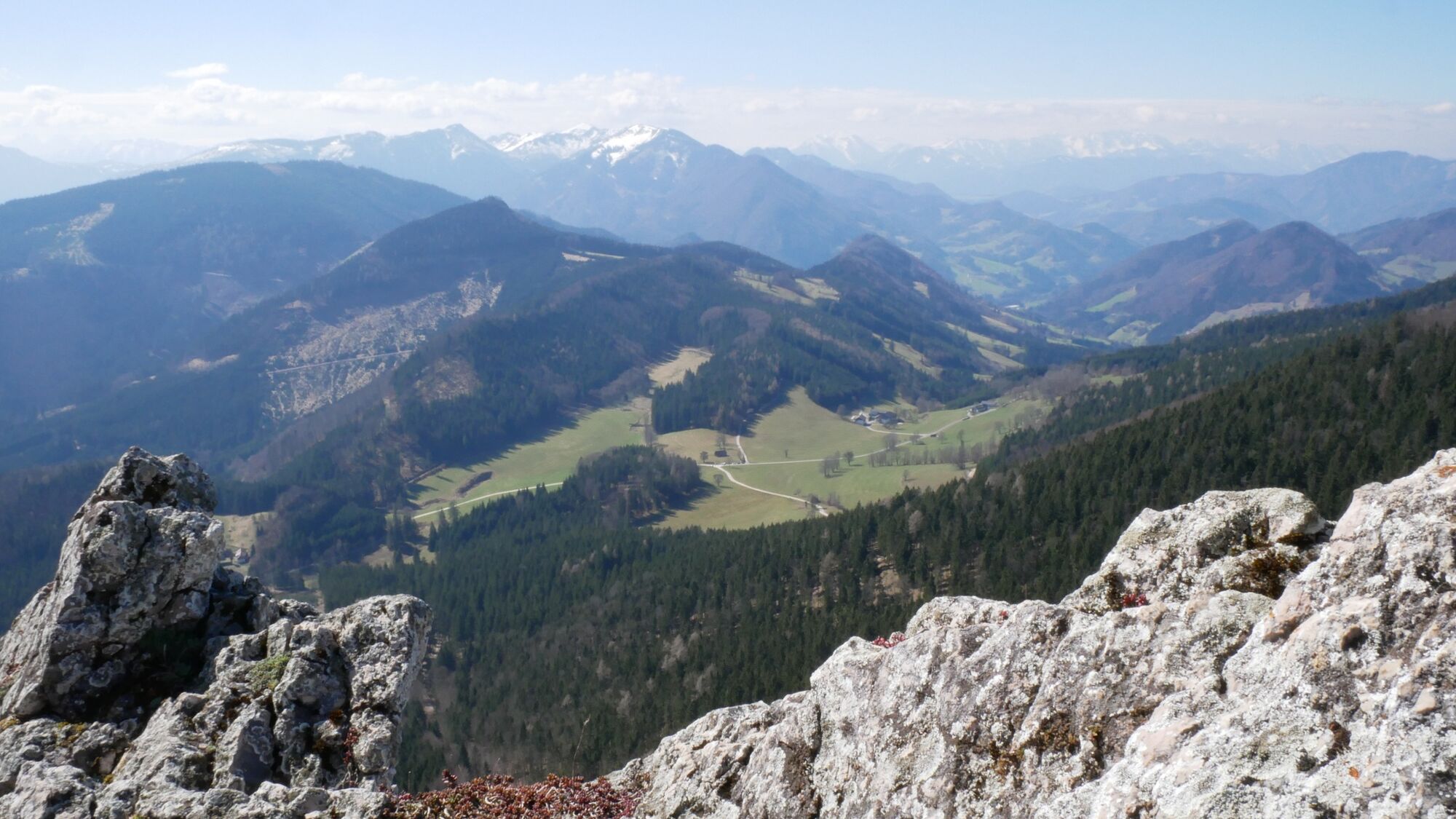
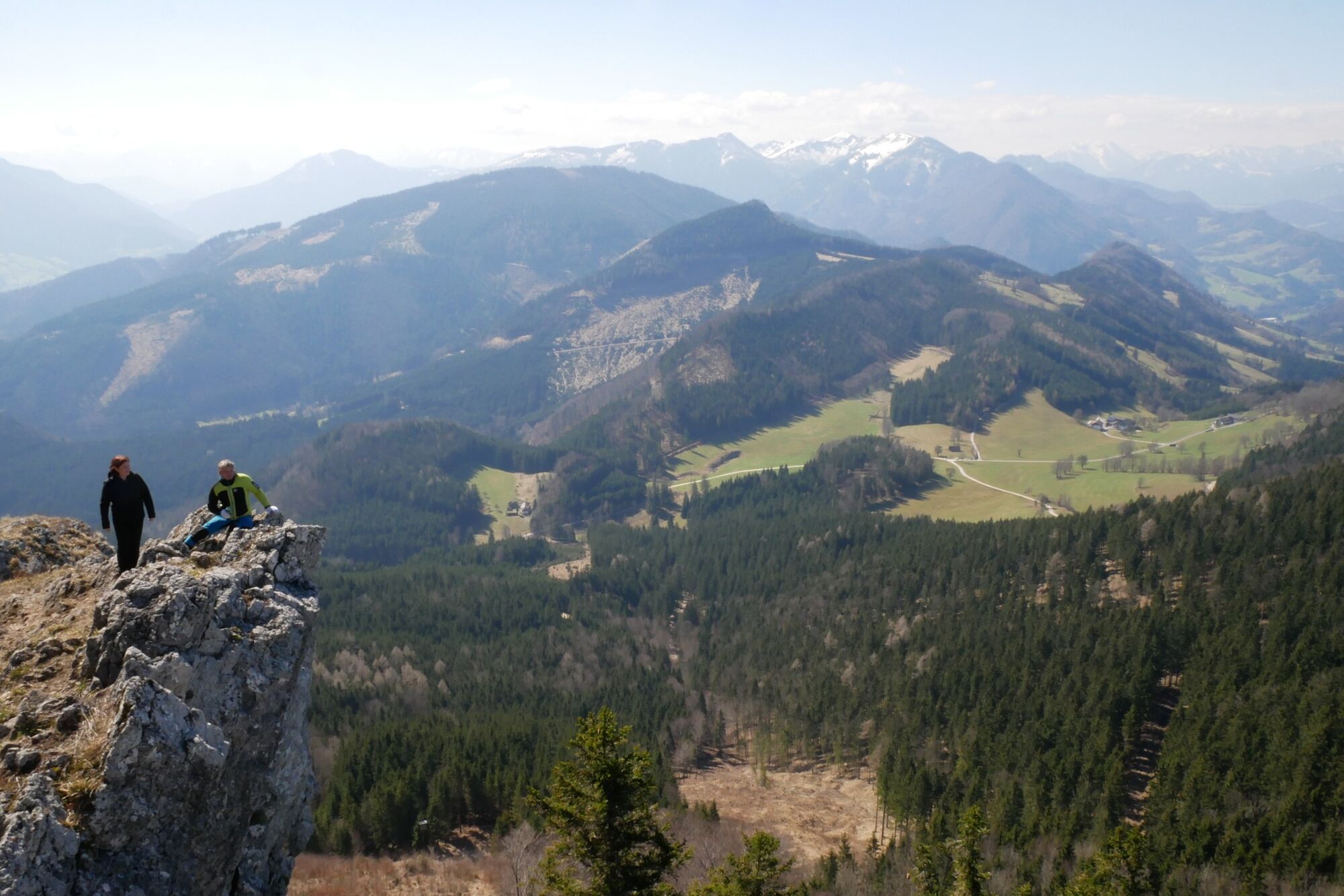
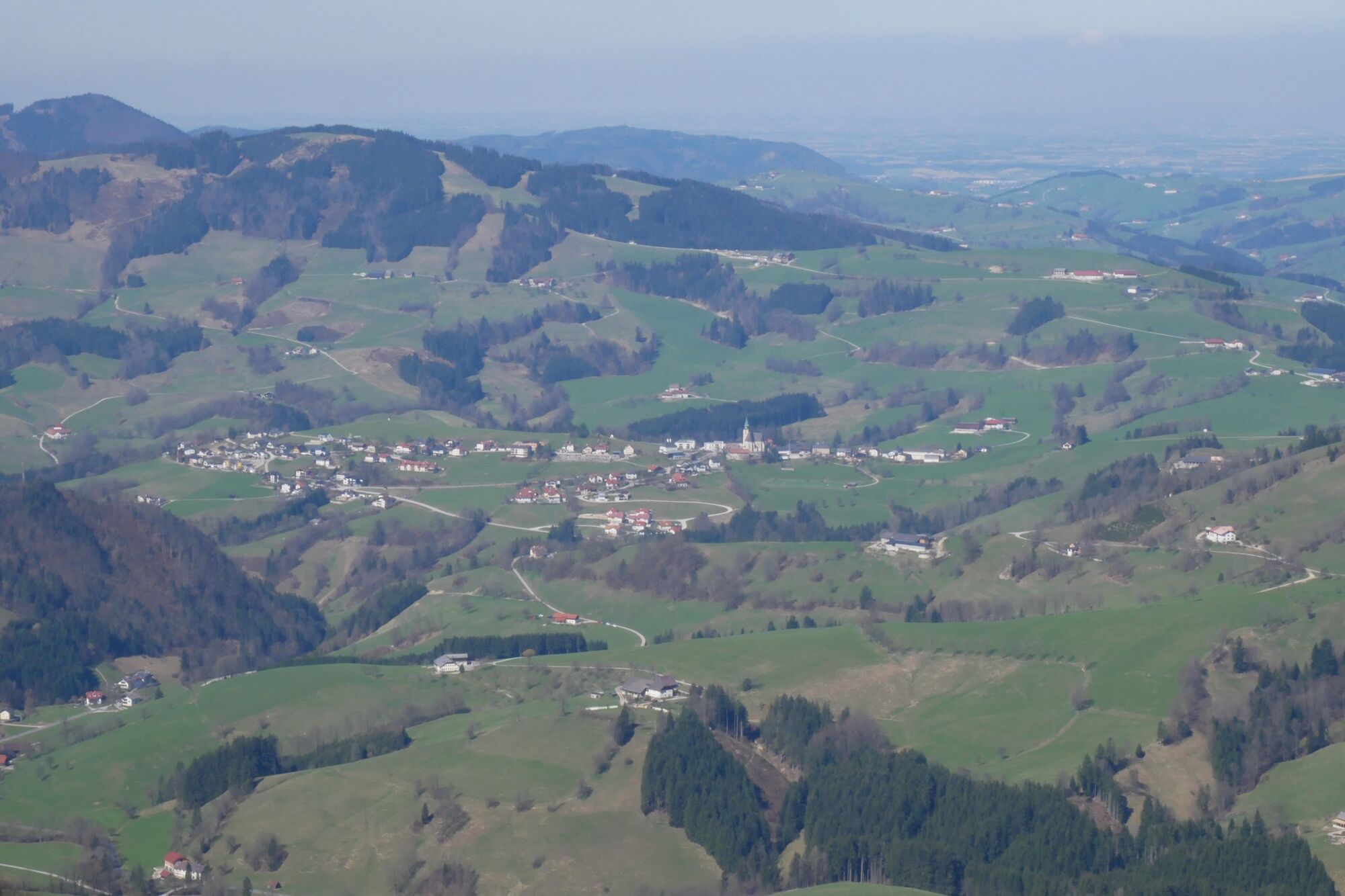
Short hike up a small, but in the summit area rocky lookout mountain
- Teškoća
-
srednje
- Vrednovanje
-
- Wegverlauf
-
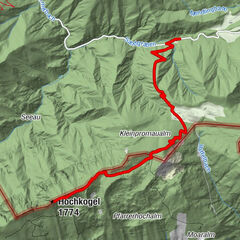
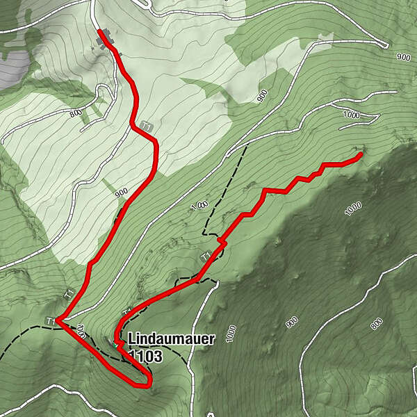
Heuriger Zöttl - Hochramskogler0,0 kmLindauerhöhle1,6 kmLindaumauer (1.103 m)1,6 kmLindauer Berg (1.084 m)2,7 km
- Beste Jahreszeit
-
sijveljožutrasvilipsrpkolrujlisstupro
- Höchster Punkt
- 1.083 m
- Zielpunkt
-
Maria Neustift/Jausenstation Hochramskogel
- Höhenprofil
-

- Autor
-
Die Tour Lindaumauer and Lindauer Berg wird von outdooractive.com bereitgestellt.
GPS Downloads


Opće informacije
Einkehrmöglichkeit
Aussichtsreich
Weitere Touren in den Regionen
-
Traunviertel
1939
-
Moststraße
754
-
Maria Neustift
333