© Tourismusverband Steyr Nationalpark Region - Renate Schweighuber

© Georg Blasl

© Tourismusverband Steyr Nationalpark Region - Renate Schweighuber

© Tourismusverband Steyr Nationalpark Region - Renate Schweighuber

© Tourismusverband Steyr Nationalpark Region - Renate Schweighuber

- Kratak opis
-
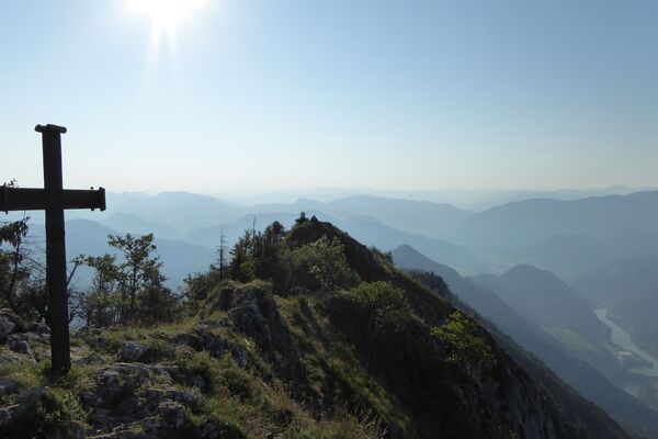
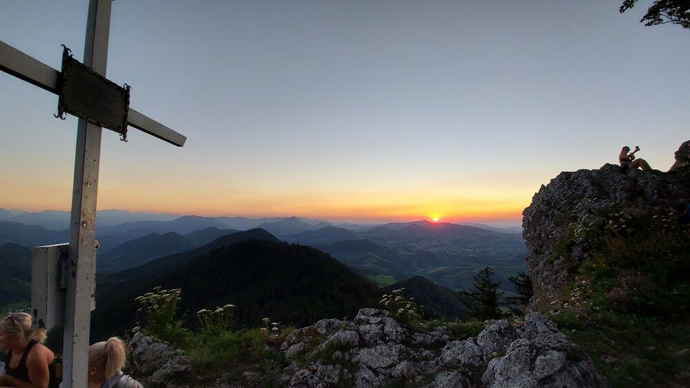
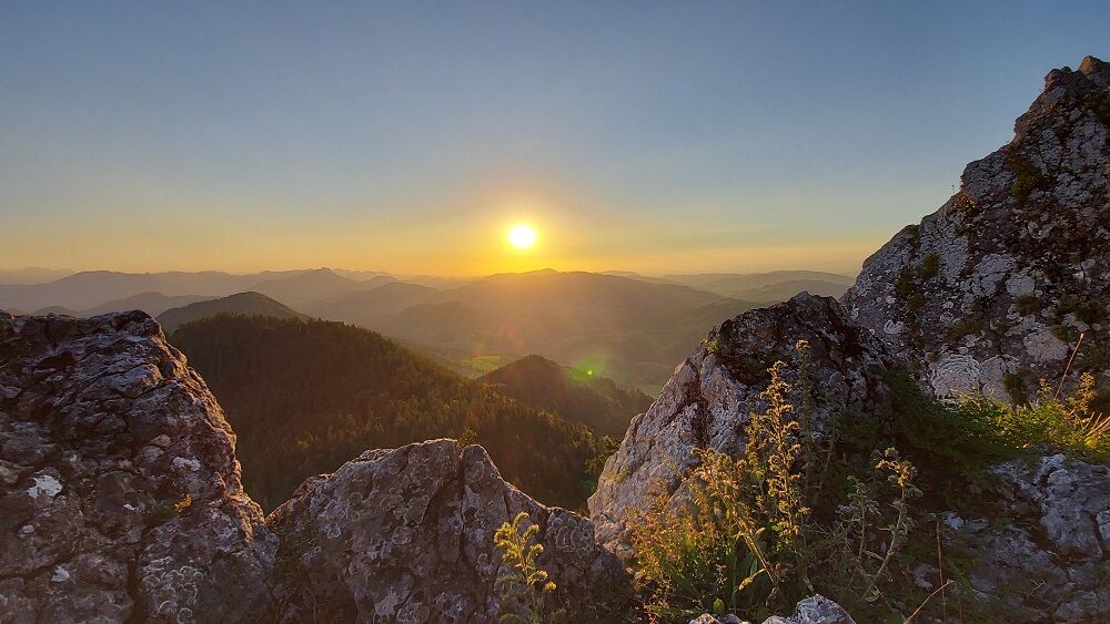
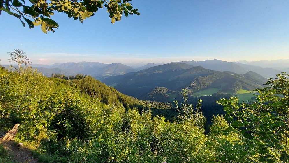
Summit tour starting from the Platten with a magnificent view over the Danube valley to the Mühlviertel, from the Tote Gebirge to the Haller Mauern and the Sengsengebirge
- Teškoća
-
lagano
- Vrednovanje
-
- Wegverlauf
-
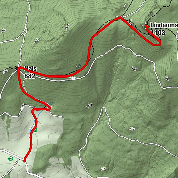
Hals (882 m)0,9 kmLindauerhöhle2,8 kmLindaumauer (1.103 m)2,8 km
- Beste Jahreszeit
-
sijveljožutrasvilipsrpkolrujlisstupro
- Höchster Punkt
- 1.084 m
- Zielpunkt
-
Gaflenz/Lindaumauer
- Höhenprofil
-

- Autor
-
Die Tour Lindaumauer from Gaflenz via Platten wird von outdooractive.com bereitgestellt.
GPS Downloads


Opće informacije
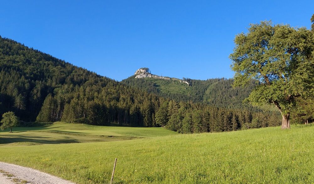
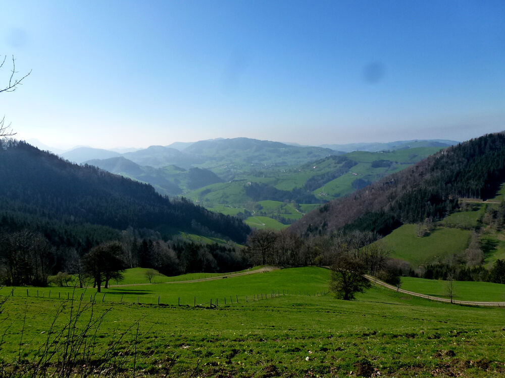
Aussichtsreich
Weitere Touren in den Regionen
-
Traunviertel
1940
-
Moststraße
754
-
Maria Neustift
333