


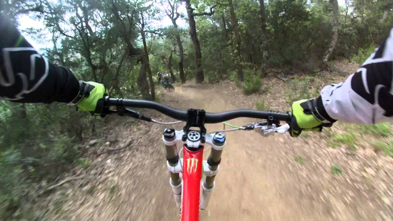
A trip with a strong difference in height or level with a sort mileage. A technical climb, a fast and rolling descent. Be careful !
For this route go down from the Valmy’carpark to the campsite « Les Mimosas » turn left and take the trail DFIC-AL-n°42 in the direction of Tour de la Massane. Admire the view of the Valmy’castle.
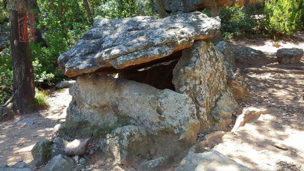
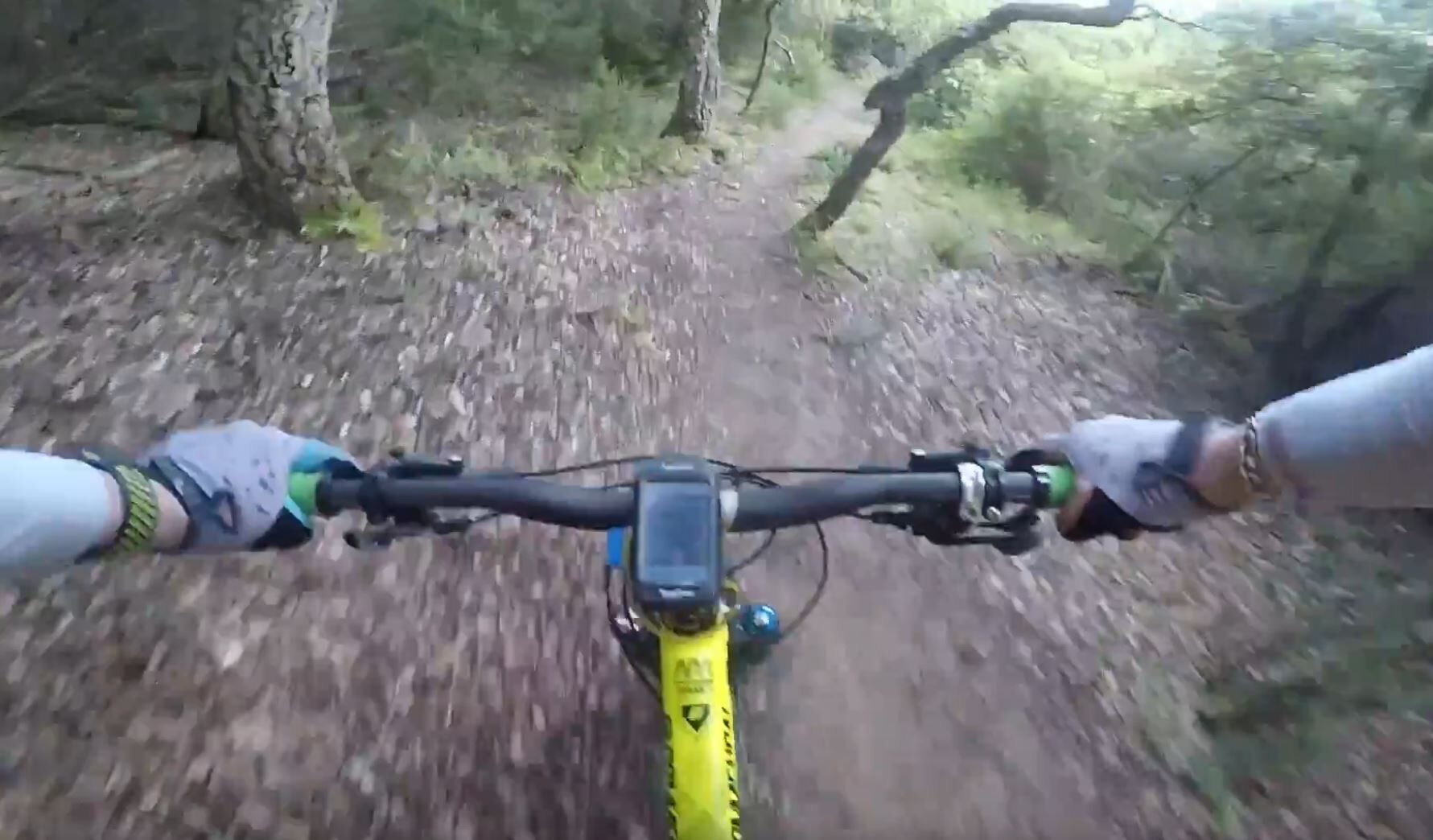
Pursue on a large path and look out on the right the departure of two paths. In direction of the Cova de l’Alarb’ dolmen. Take the path gullied by the runoff of rainwaters. This path goes into the forest with a big difference in height or level. Be careful this area is a wild and there are a lot of pedestrian paths.
Continue and pass in front of the massive portal of the « Mas d'en Jordi » to join the trail DFCI-AL n°41. Climb up the path to arrive at the basin.
Turn right in direction of The Chapel Saint Laurent and go on the path DFCI AL n°29. Cross the plateau on the Albères’ foothills. This first part of the descent is mild. Be careful, from the Mas Piquemal, the descent is steeper and the curves are harpin bends which accentuates the speed and the danger on this part. Be also careful with the possible sand banks in some curves which could be slippery.
At 100 meters, on the left of the avitors’ commemorative Stele , the junction that leads you to the chapel Saint Laurent. The pedestrian path in front of the Chapel leads you to the DFCI AL-N°29 path.
Carefully Follow this path until the bottom of the Valmy’ Castle, end of this loop. On the last meters, there are some paved parts used by cars and pedestrians. Be on the alert to avoid accidents.
Direct acces by RD 914 : Exit Château de Valmy
Bus à 1€
Valmy’ carpark (base “VTT” mountain bike)
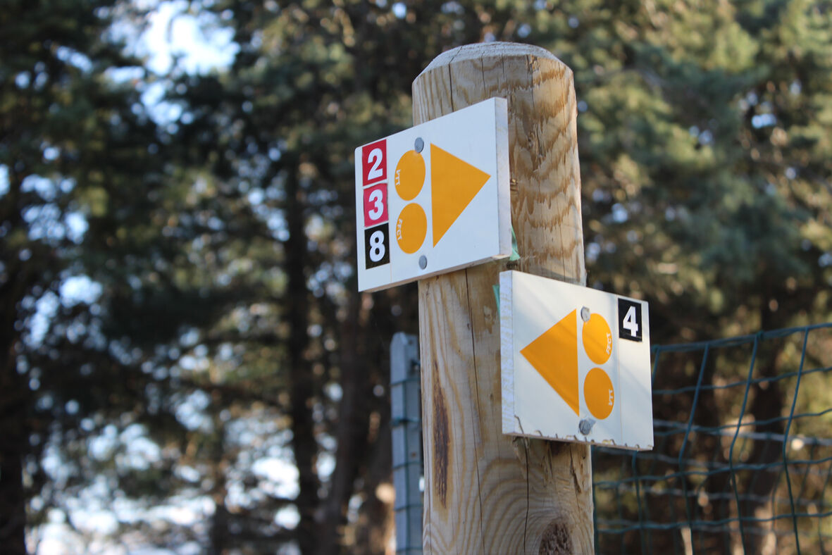
Follow the red color signs « VTT » (mountain bike) n°2
Popular tours in the neighbourhood
-
Hauts des Forts Trail (Long Version)
mediumTrailrunning 21,8 km -
[Connection] Elne-Argelès-sur-Mer
mediumCestovni bicikl 12,3 km -
Rallye-enquête : Le linteau millénaire de Saint-Genis-des-Fontaines
mediumCestovni bicikl 28,6 km -
Madeloc
mediumPješačenje 8,83 km -
GR10 Pyrenäenweg Etappe 55
mediumDaljinska planinarska staza 23,2 km -
[Stroll] "the balconies" of Cosprons
lightMountainbike 6,77 km -
Catalan Getaway in the Pyrenees Mediterranean
mediumCestovni bicikl 62,4 km -
"La Retirada" and the paths of exile
mediumPješačenje 5,26 km -
From Lavail to Valmy via the Tour de la Massane
mediumPješačenje 10,3 km -
orienteering course of Laroque-des-Albères
lightTrailrunning 3,71 km
bergfex Tours


Ne propustite ponude i inspiraciju za vaš sljedeći odmor
Your e-mail address has been added to the mailing list.