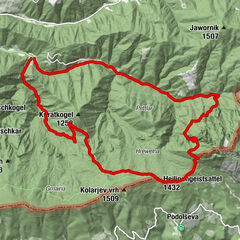


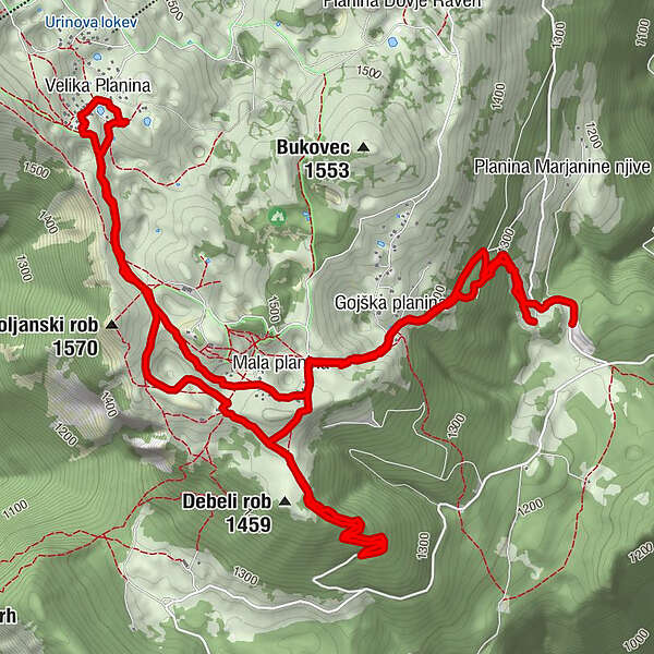
Podaci o ruti
9,41km
1.199
- 1.561m
487hm
512hm
03:12h
- Kratak opis
-
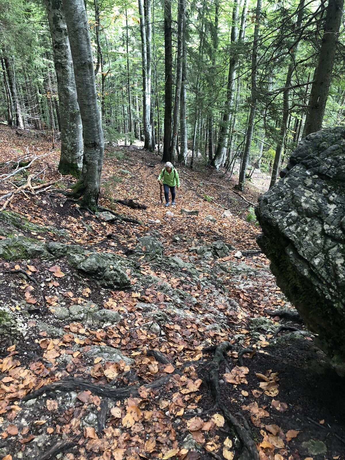
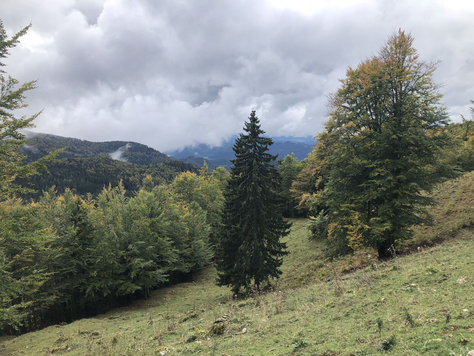
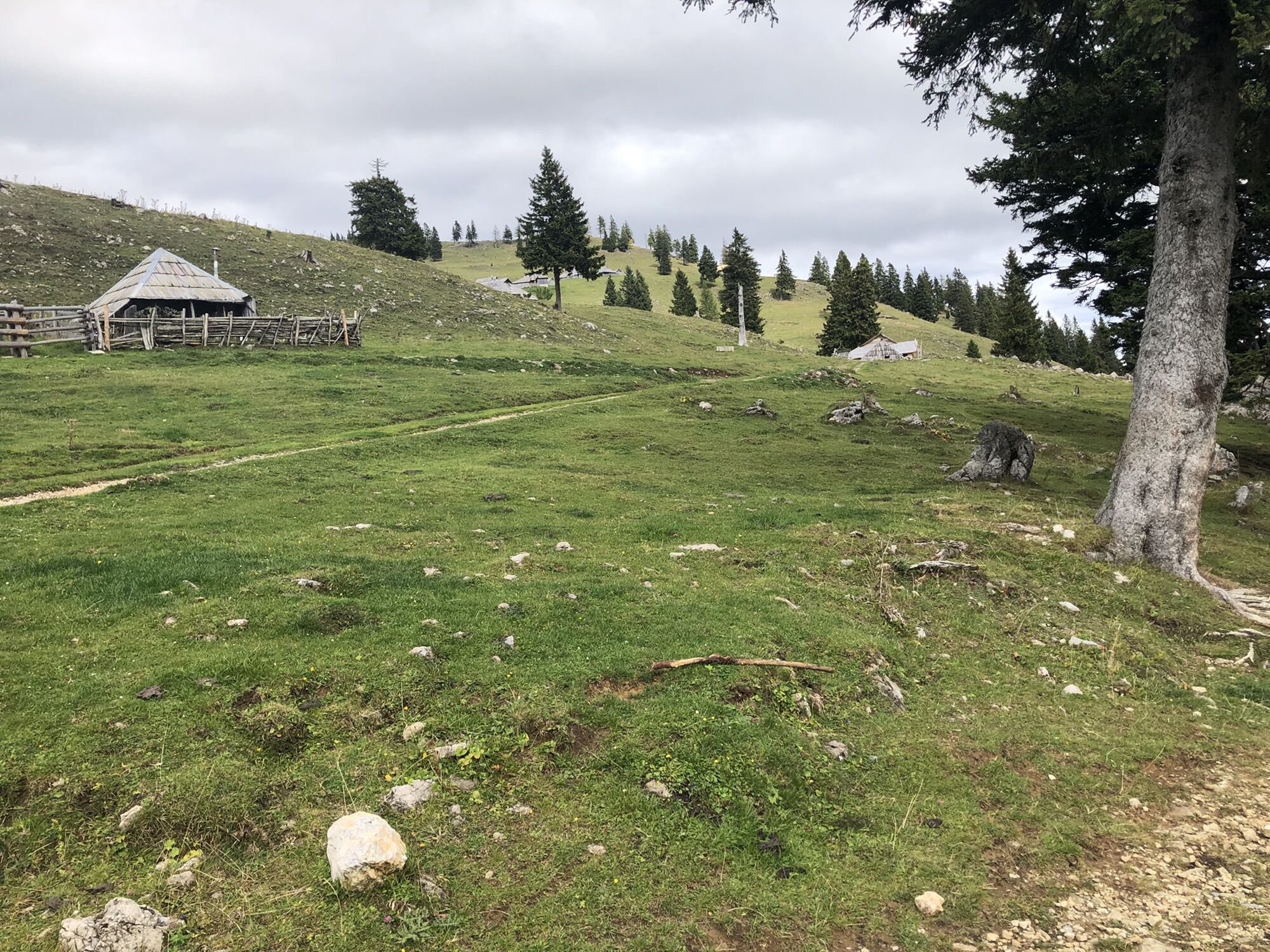
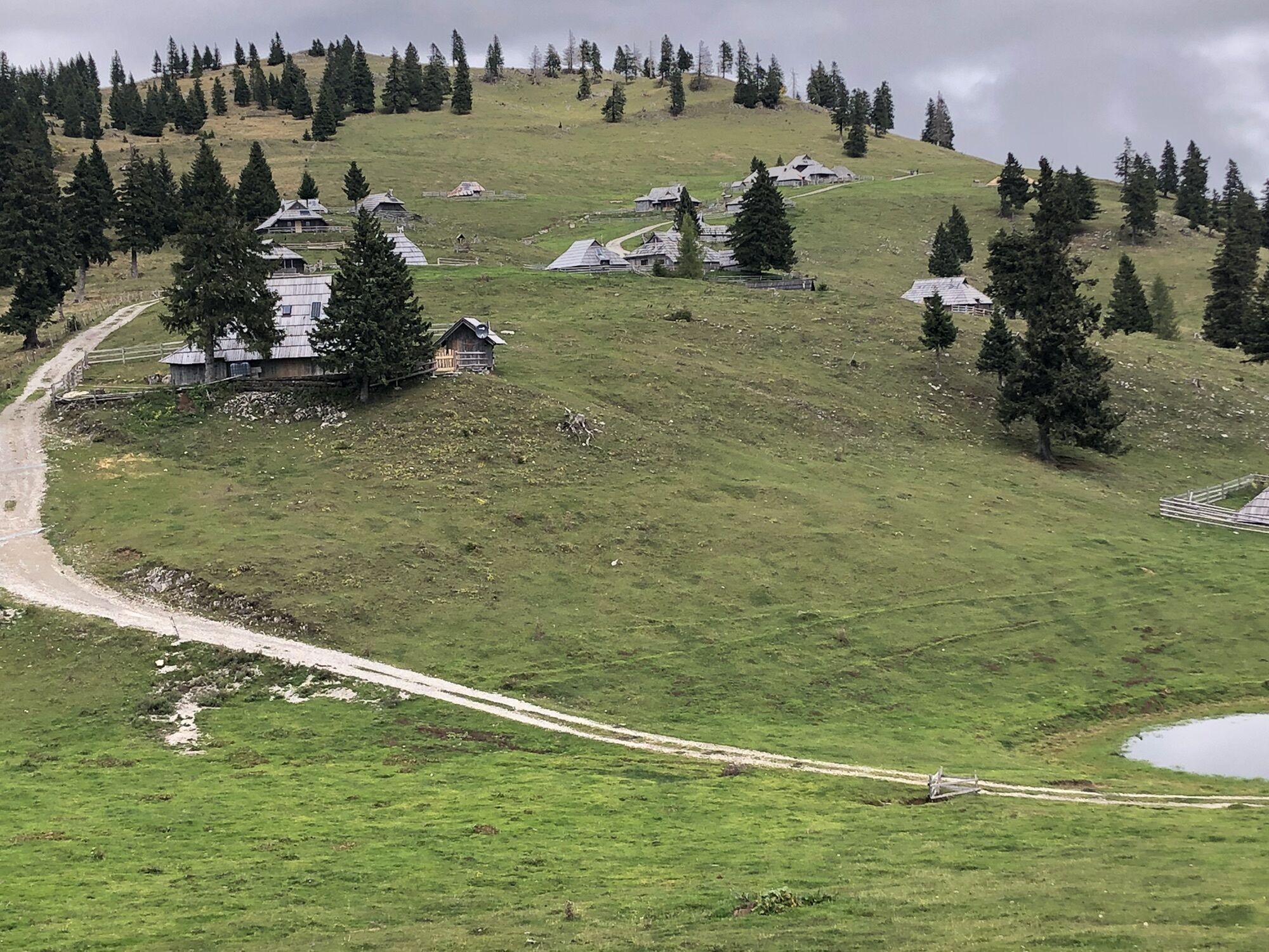
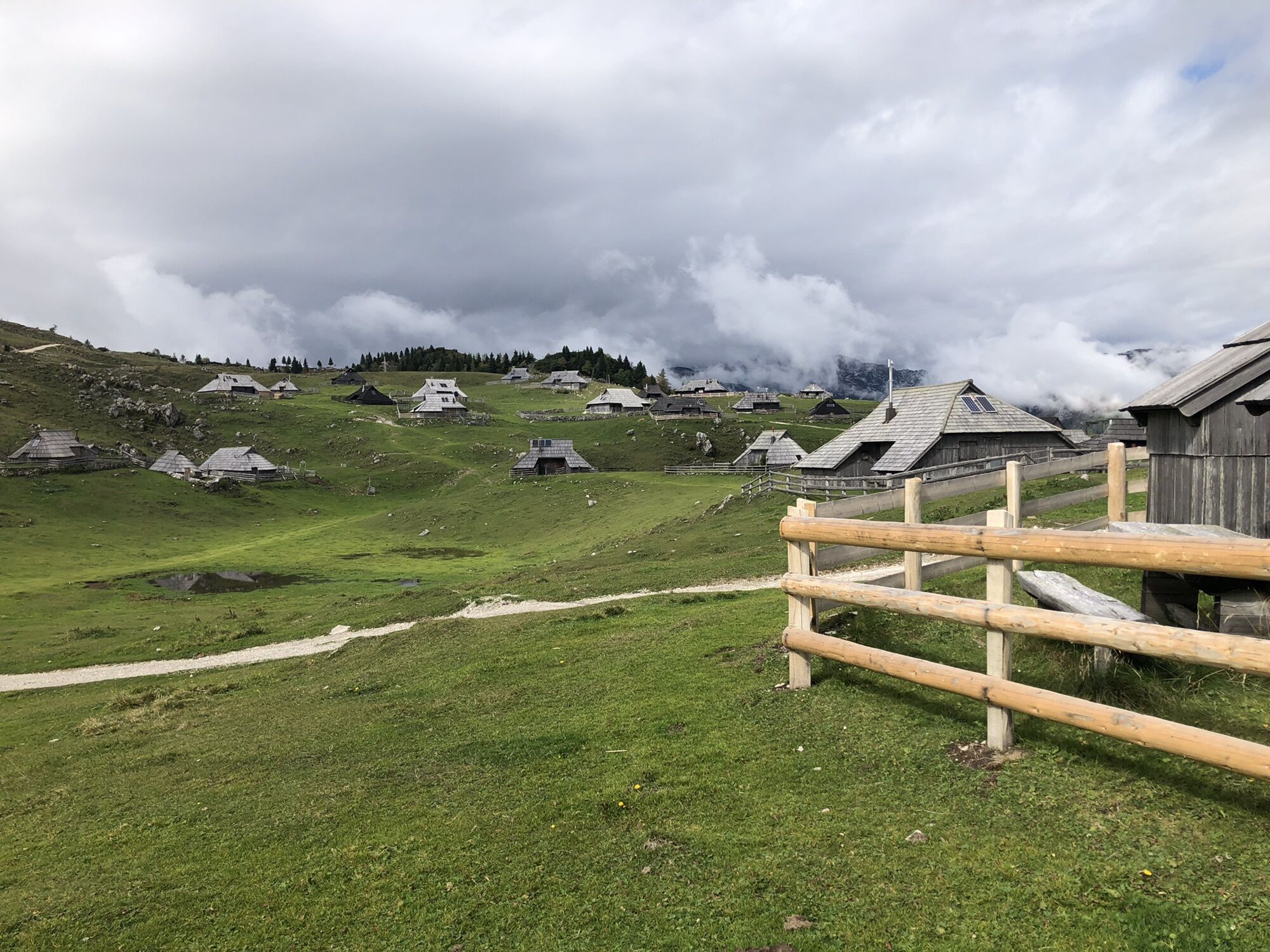
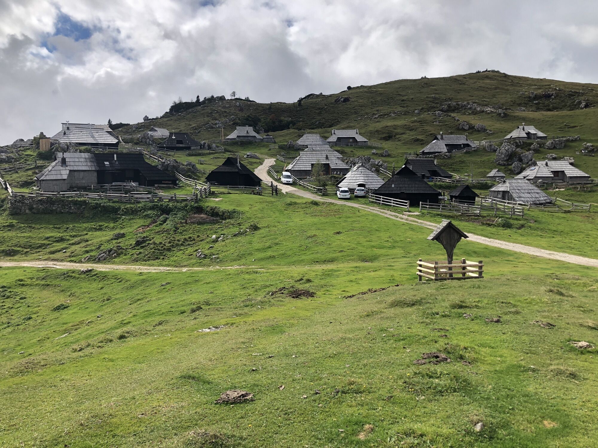
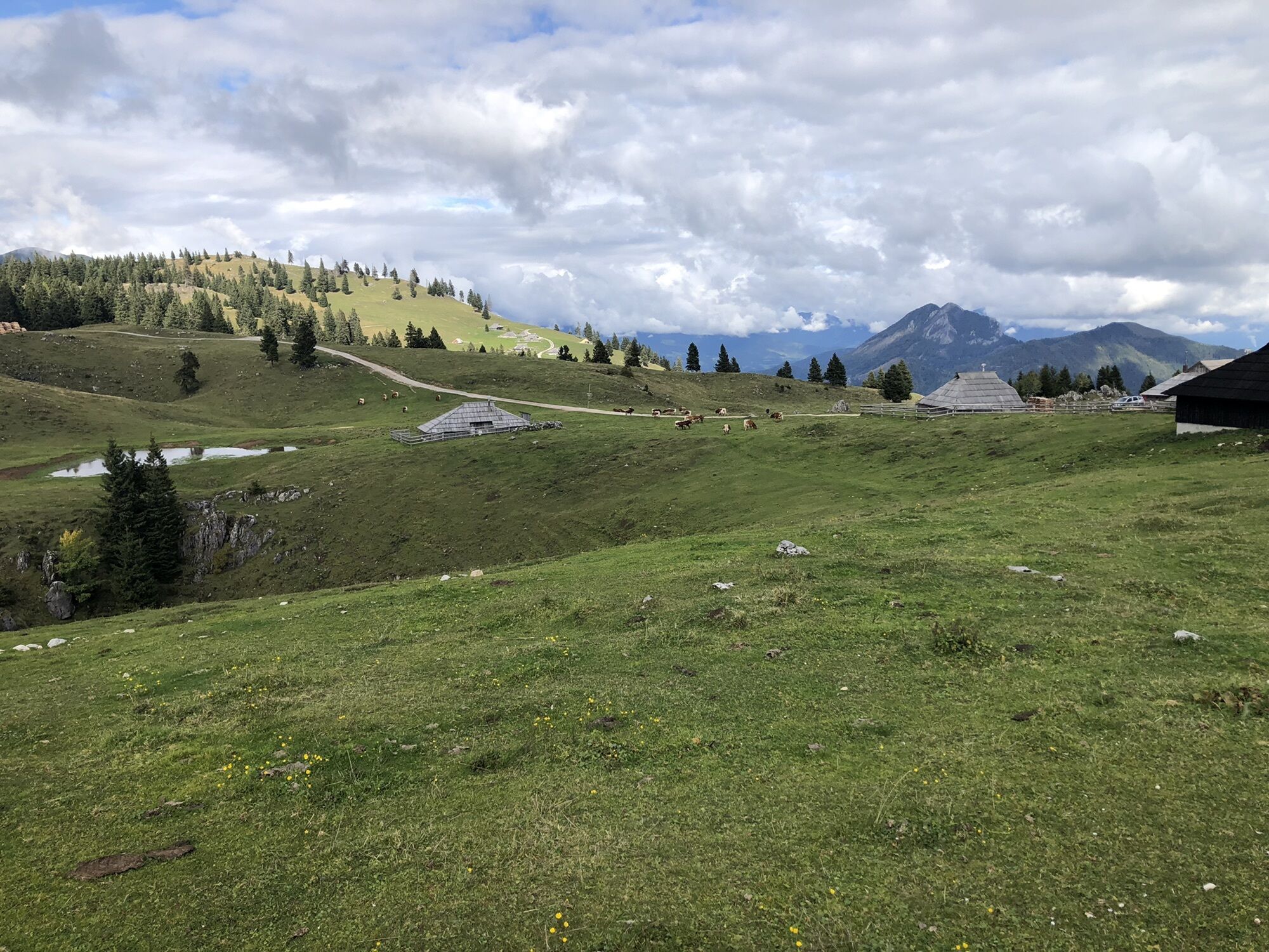
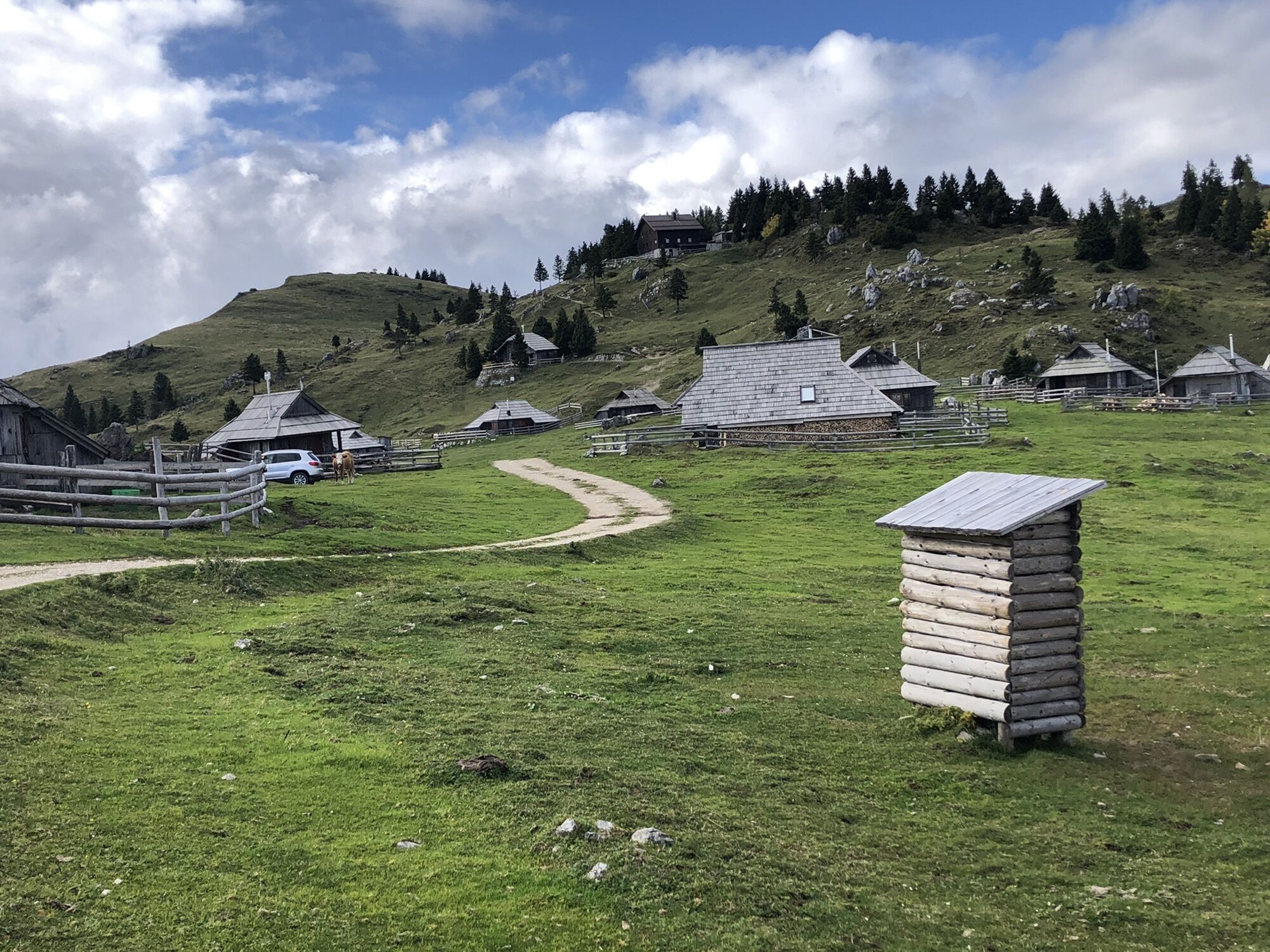
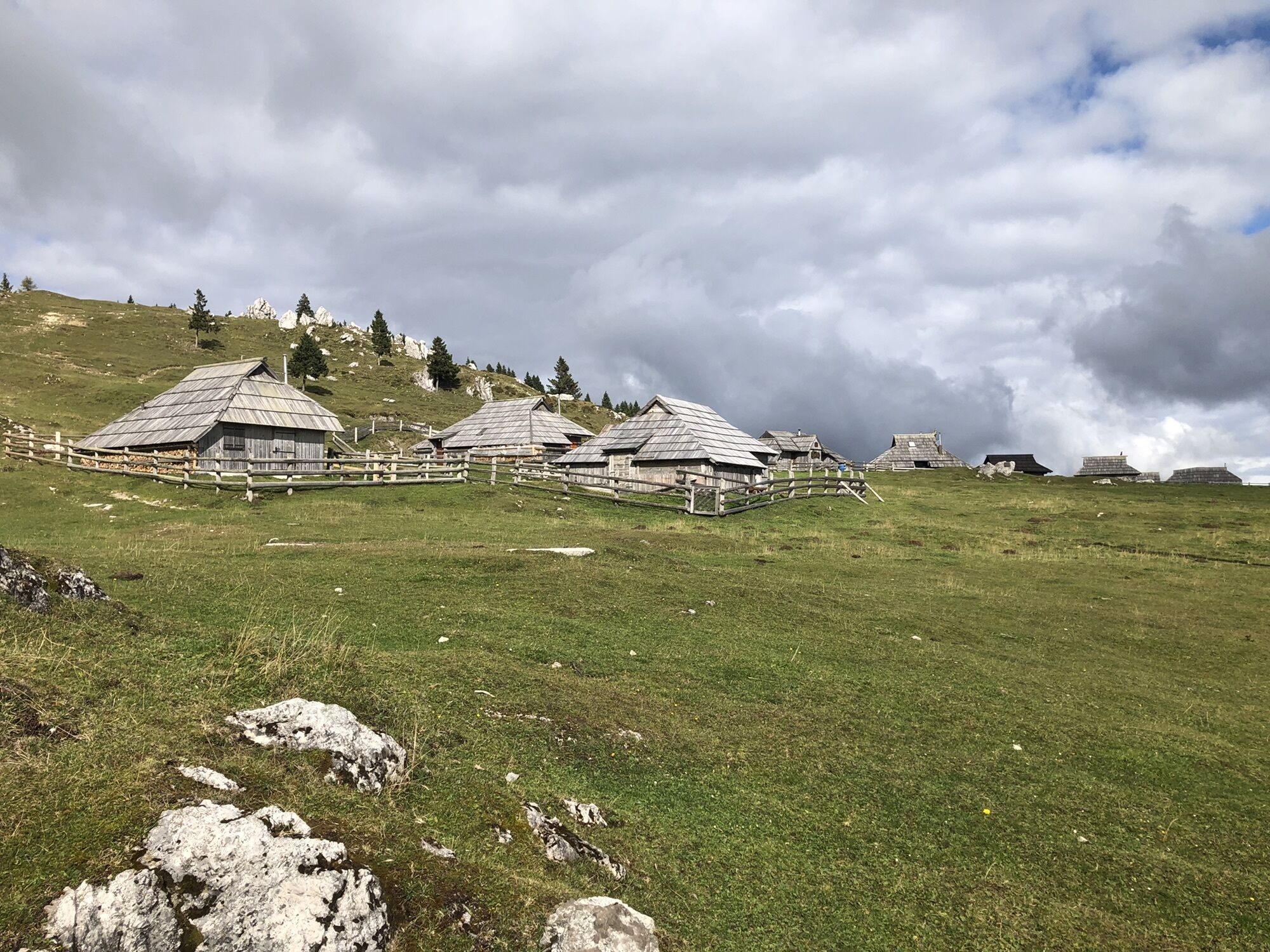
Hirtendorf auf einer Hochalm 1560m
- Teškoća
-
srednje
- Vrednovanje
-
- Wegverlauf
-
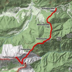
Gojška planina (1.420 m)0,9 kmMala planina1,4 kmChapel of St. Mary of the Snows5,5 kmVelika Planina5,7 kmMala planina7,3 kmGojška planina (1.420 m)8,1 km
- Höchster Punkt
- 1.561 m


GPS Downloads


Weitere Touren in den Regionen