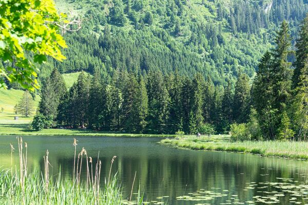
© Heidiland Tourismus - Ramona Saxer


- Kratak opis
-
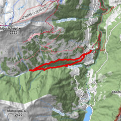
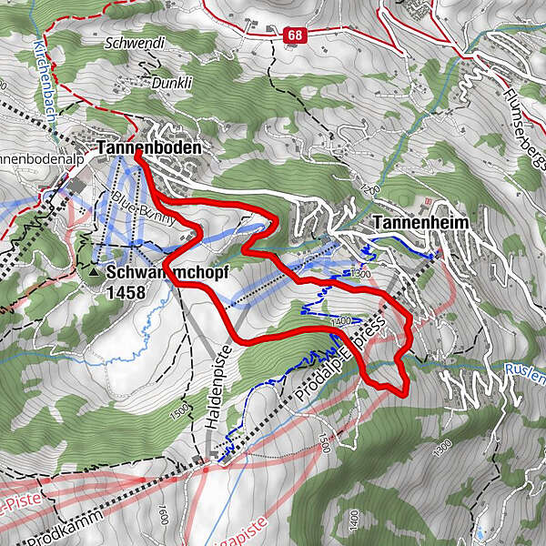
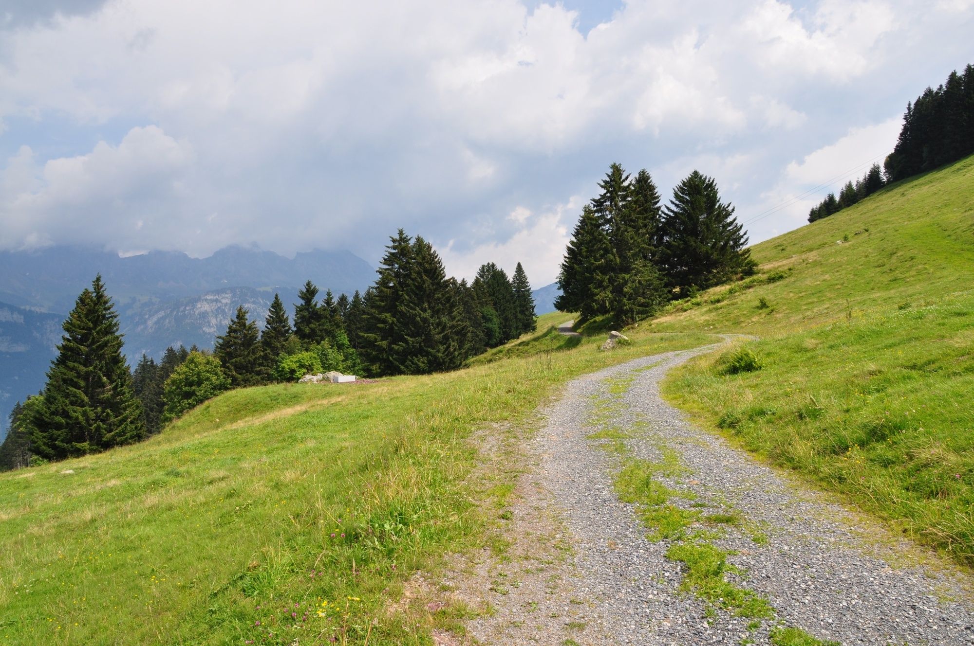
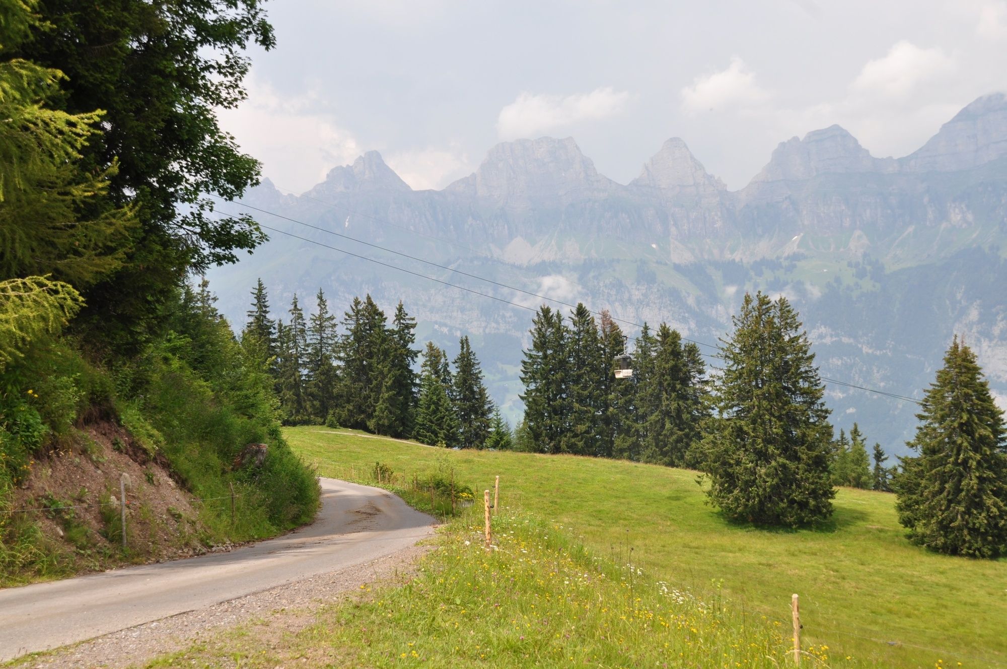
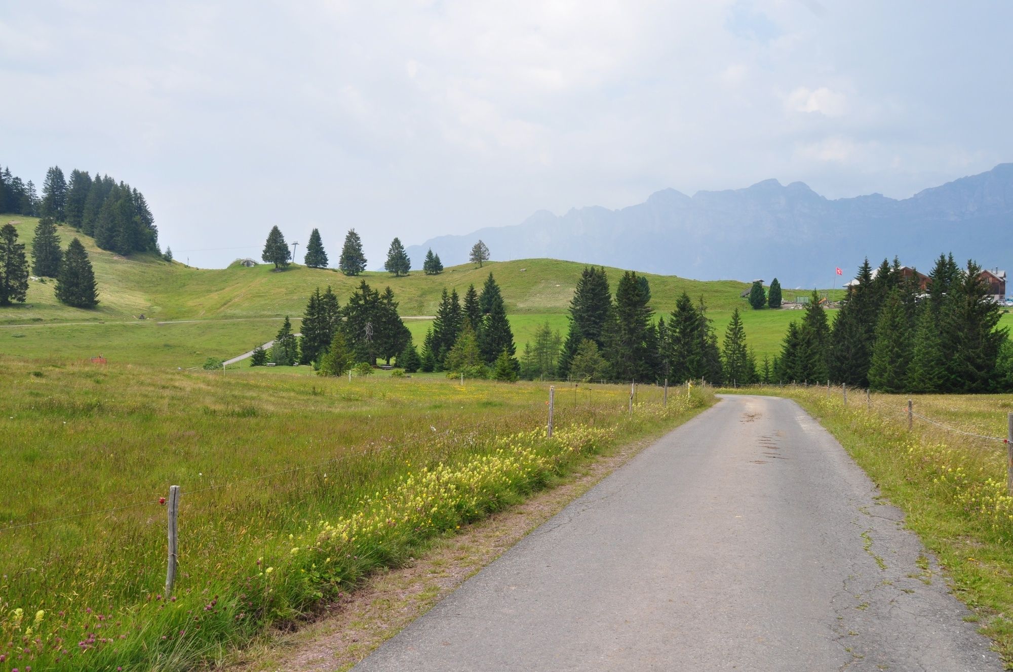
Wonderful views of the Seeztal-Valley and the Churfirsten, a short ascent and a magnificent moorland landscape on the Madils plateau. This is the Cafrida Trail.
- Teškoća
-
srednje
- Vrednovanje
-
- Wegverlauf
-
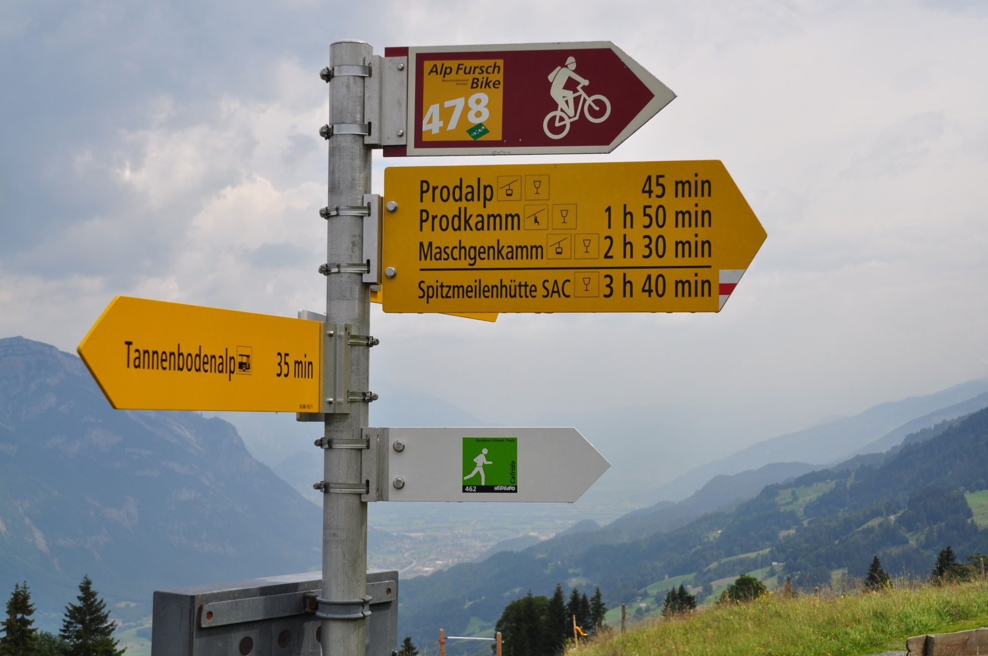
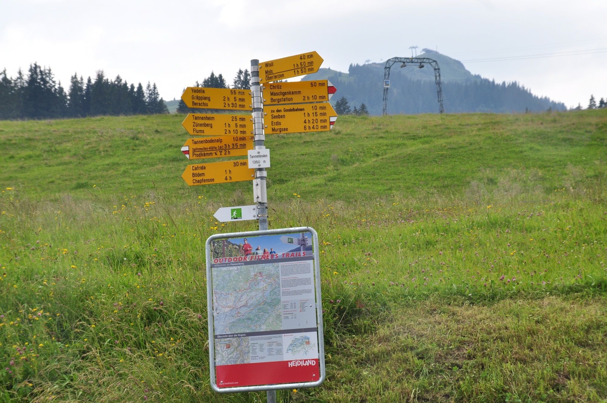
Tannenboden (1.344 m)Tannenheim (1.220 m)2,8 kmTannenboden (1.344 m)4,6 km
- Beste Jahreszeit
-
sijveljožutrasvilipsrpkolrujlisstupro
- Höchster Punkt
- 1.424 m
- Zielpunkt
-
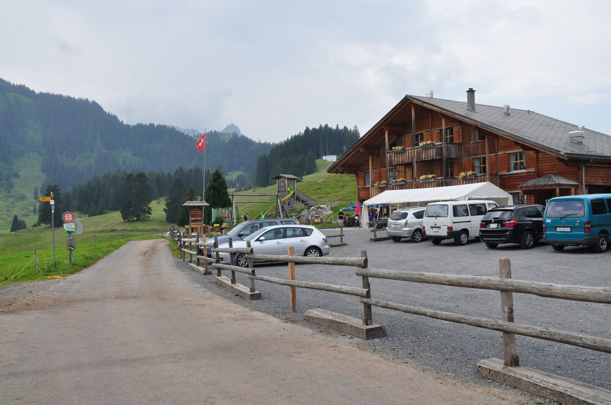
Flumserberg, Infopoint der Station Flumserberg
- Höhenprofil
-
 © outdooractive.com
- Autor
-
Die Tour Cafrida Trail 462 wird von outdooractive.com bereitgestellt.
GPS Downloads


Opće informacije
Einkehrmöglichkeit
Weitere Touren in den Regionen
-
Heidiland
49
-
Flumserberg und Umgebung
40
-
Flumserberg
16