- Kratak opis
-
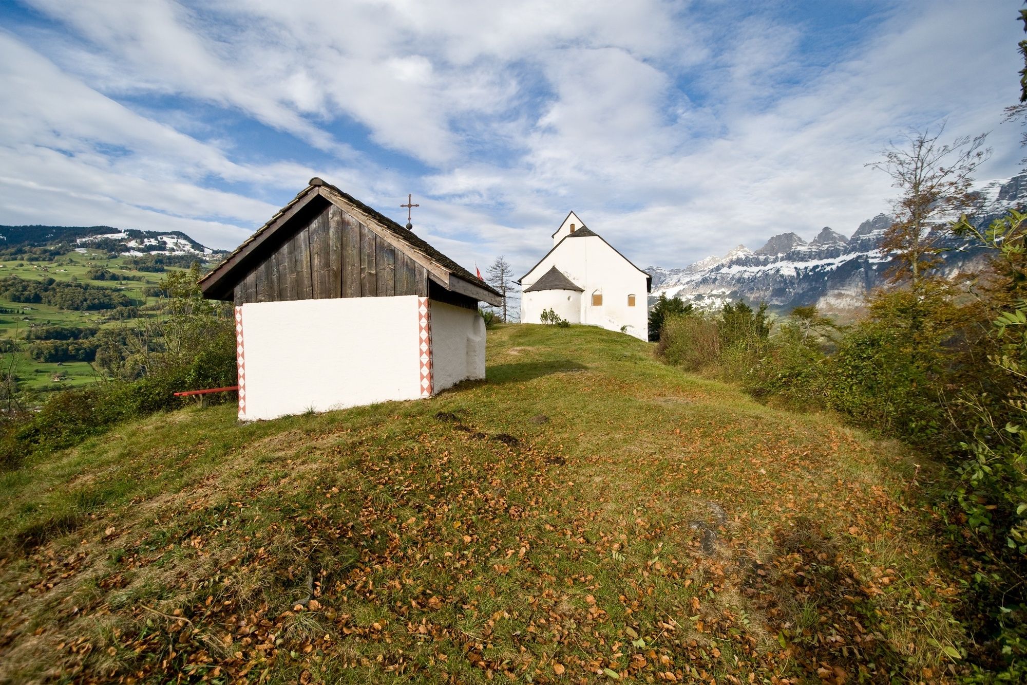
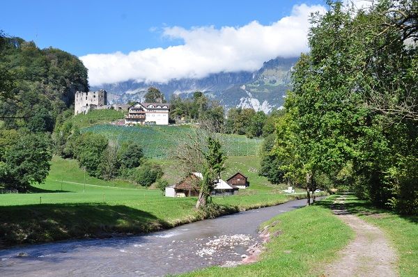
The journey is the goal! The chapel St. Georgen is enthroned high above the idyllic village of Berschis and offers a spectacular view down to the valley and the surrounding mountains.
- Teškoća
-
srednje
- Vrednovanje
-
- Wegverlauf
-
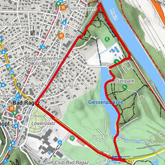
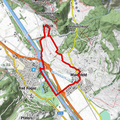
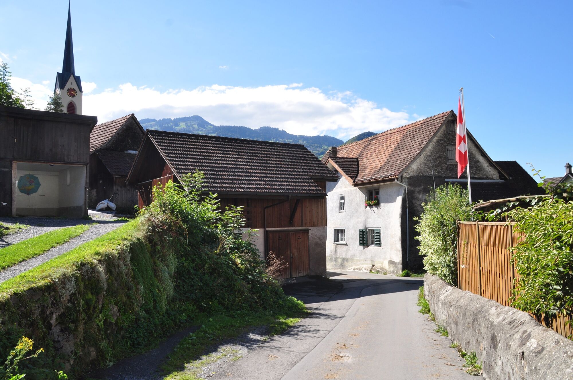
Rocki Docki Pub & Pizzeria0,0 kmBüntli0,1 kmFlums (456 m)0,5 kmBerschis2,9 kmLandgasthof Linde3,0 kmSt. Georgen (589 m)4,0 kmSt.-Georgs-Kapelle4,0 kmDorfkirche St. Eusebius5,3 kmFlums (441 m)6,9 kmRocki Docki Pub & Pizzeria6,9 kmBüntli7,0 km
- Beste Jahreszeit
-
sijveljožutrasvilipsrpkolrujlisstupro
- Höchster Punkt
- 570 m
- Zielpunkt
-
Flums, Infopoint der Station Flums
- Höhenprofil
-
 © outdooractive.com


- Autor
-
Die Tour St. Georgen trail 441 wird von outdooractive.com bereitgestellt.
GPS Downloads


Opće informacije
Einkehrmöglichkeit
Weitere Touren in den Regionen
-
Heidiland
49
-
Flumserberg und Umgebung
40
-
Berschis
16