From the World Cultural Heritage city of St.Gallen to the shores of Lake Constance


© Mattias Nutt Photography - St.Gallen-Bodensee Tourismus

© St.Gallen - Bodensee


© Kurzschuss - St.Gallen-Bodensee Tourismus

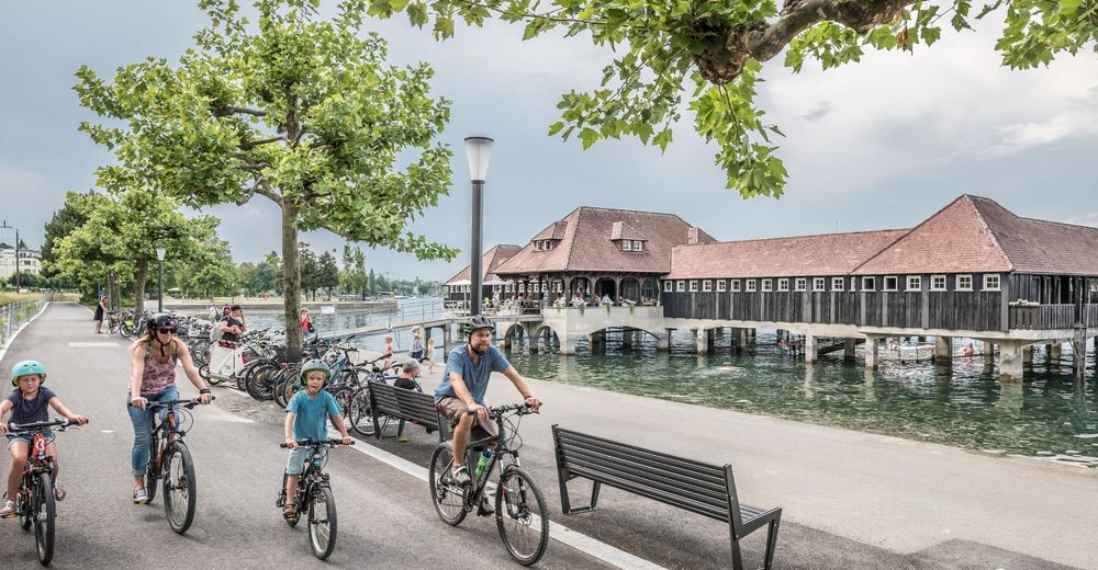
© Mattias Nutt Photography - St.Gallen-Bodensee Tourismus

© Mattias Nutt Photography - St.Gallen-Bodensee Tourismus

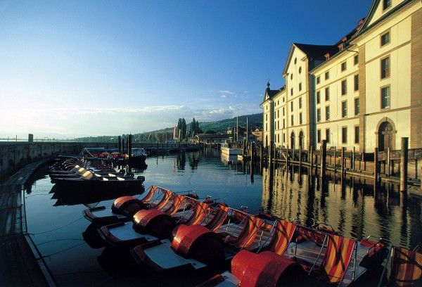
© Mattias Nutt Photography - St.Gallen-Bodensee Tourismus
© Mattias Nutt Photography - St.Gallen-Bodensee Tourismus
- Kratak opis
-
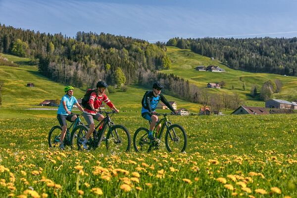
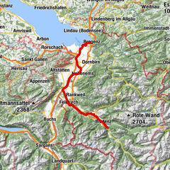
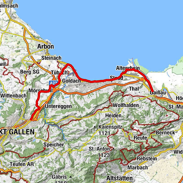
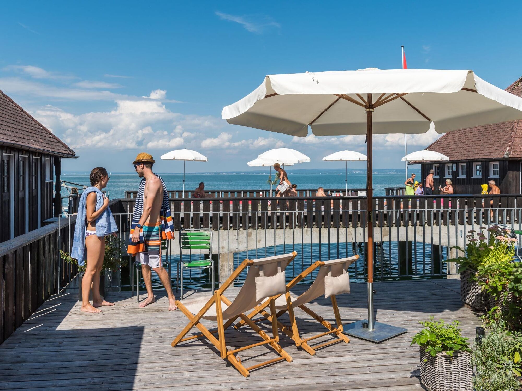
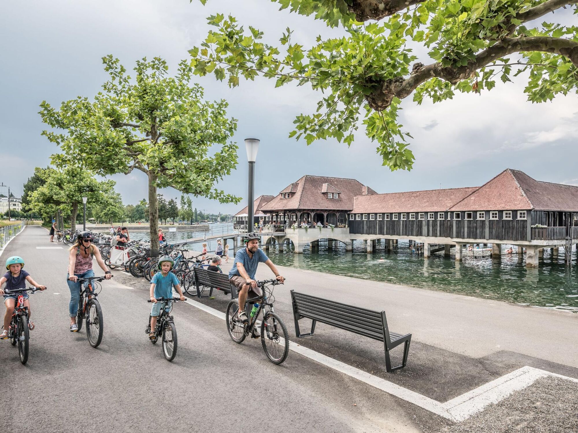
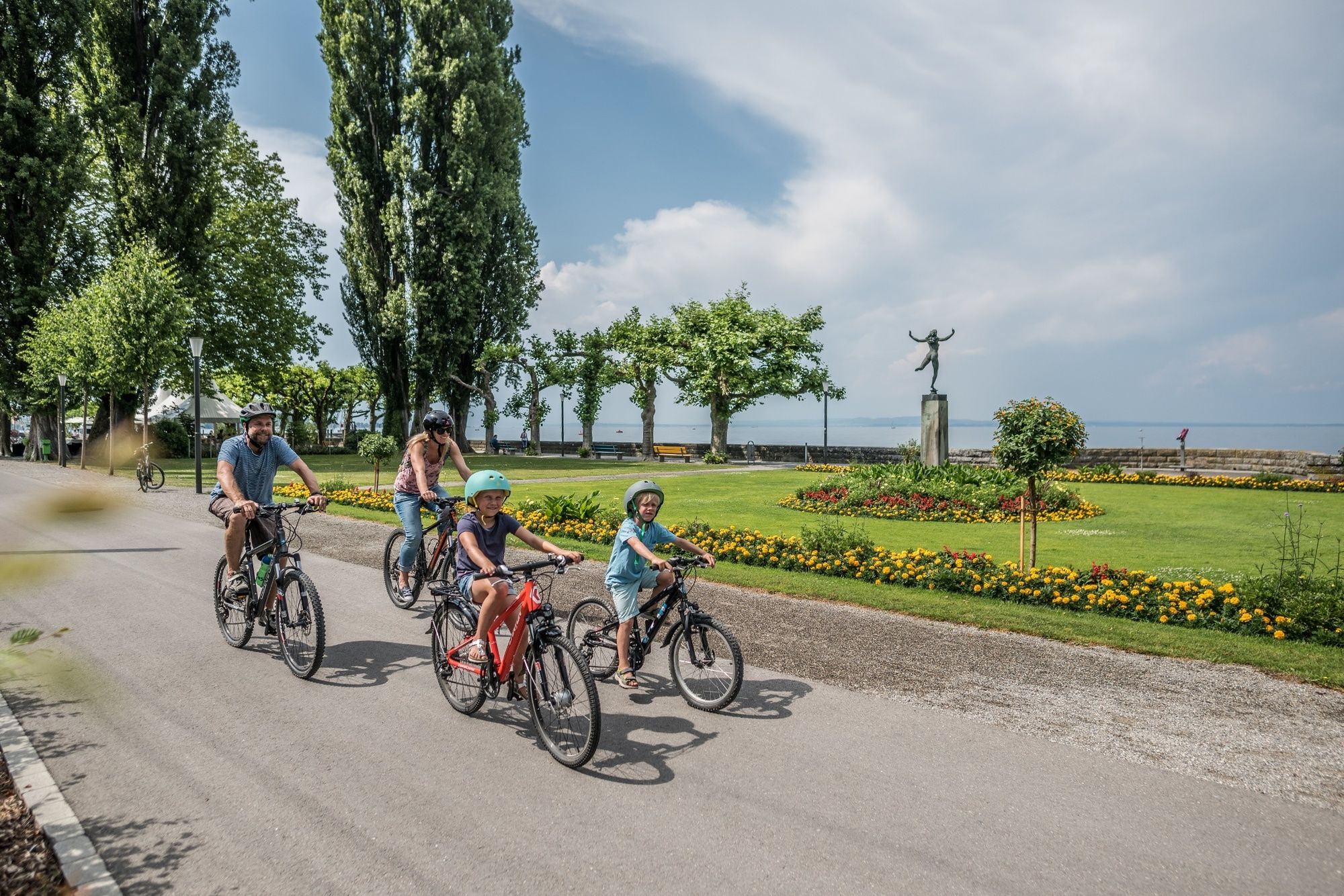
By bike from St.Gallen to Rheineck.
- Teškoća
-
srednje
- Vrednovanje
-
- Wegverlauf
-
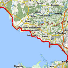
Sankt Gallen (675 m)Neudorf0,1 kmVorderstaag2,0 kmSchloss Watt2,9 kmOberdorf3,5 kmMörschwil3,8 kmAdler3,8 kmKatholische Kirche St. Johannes der Täufer4,0 kmBeggetwil4,8 kmHundwil5,4 kmTübach (415 m)7,8 kmRestaurant Löwen7,8 kmLandhaus-Bambusgarten8,0 kmHorn (402 m)9,2 kmVilla am See10,4 kmRorschach12,0 kmRorschach Hafen (See) (398 m)12,5 kmRorschach Hafen (398 m)12,5 kmRorschach (399 m)13,5 kmNeuseeland14,7 kmSeepark15,8 kmStaad15,9 kmSpeck16,1 kmAltenrhein17,8 kmRheineck (400 m)21,7 km
- Beste Jahreszeit
-
sijveljožutrasvilipsrpkolrujlisstupro
- Höchster Punkt
- 671 m
- Zielpunkt
-
Rheineck
- Höhenprofil
-
 © outdooractive.com


- Autor
-
Die Tour From the World Cultural Heritage city of St.Gallen to the shores of Lake Constance wird von outdooractive.com bereitgestellt.
GPS Downloads


Opće informacije
Einkehrmöglichkeit
Aussichtsreich
Weitere Touren in den Regionen