


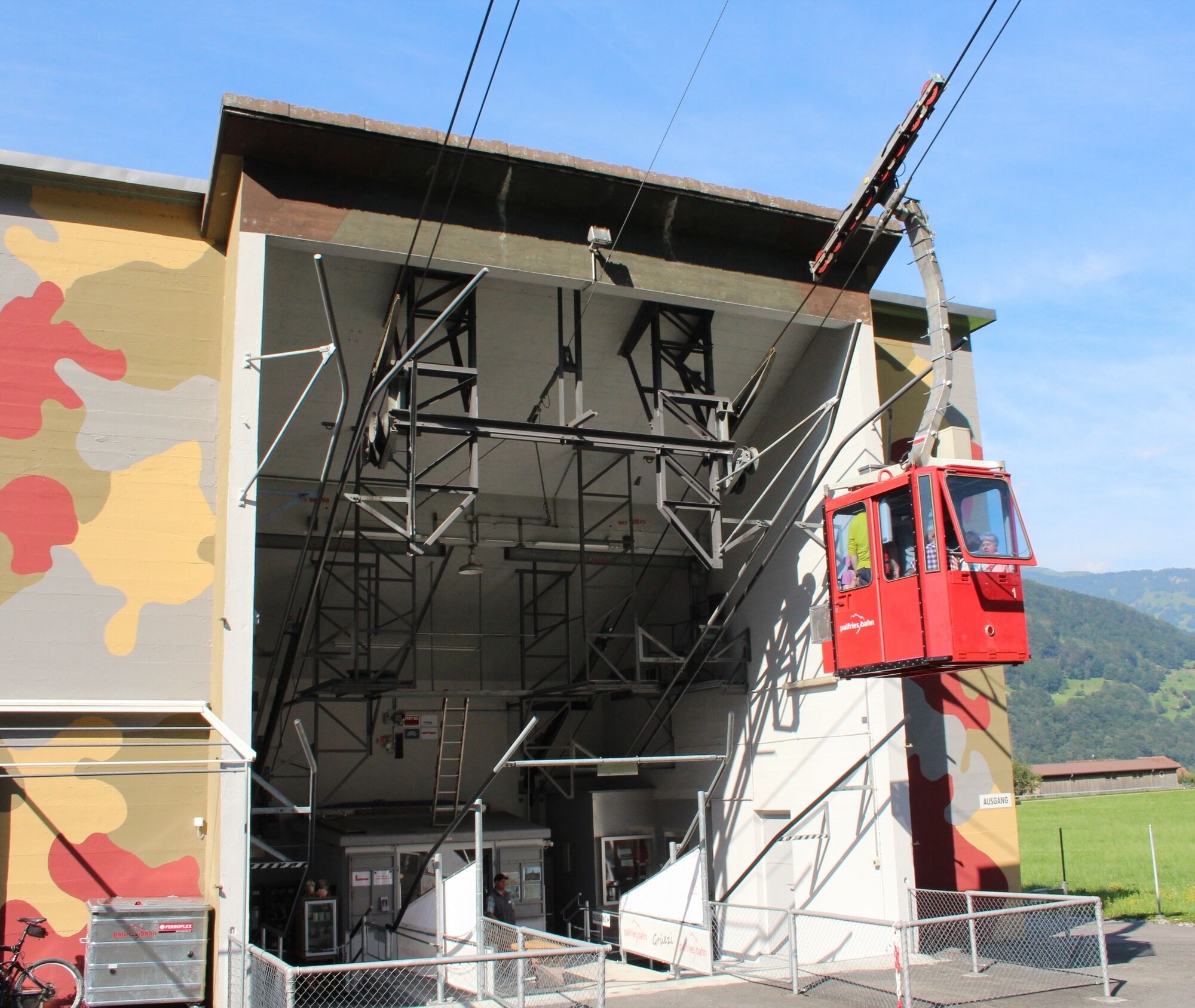
We start the hike at the Palfries mountain station. With the Palfries cable car, we have previously covered about 1,250 meters in altitude in just 12 minutes. The cable car travels over an impressive waterfall...
We start the hike at the Palfries mountain station. With the Palfries cable car, we have previously covered about 1,250 meters in altitude in just 12 minutes. The cable car travels over an impressive waterfall (Ragnatscher Bach) and takes us up to the Palfries high plateau.
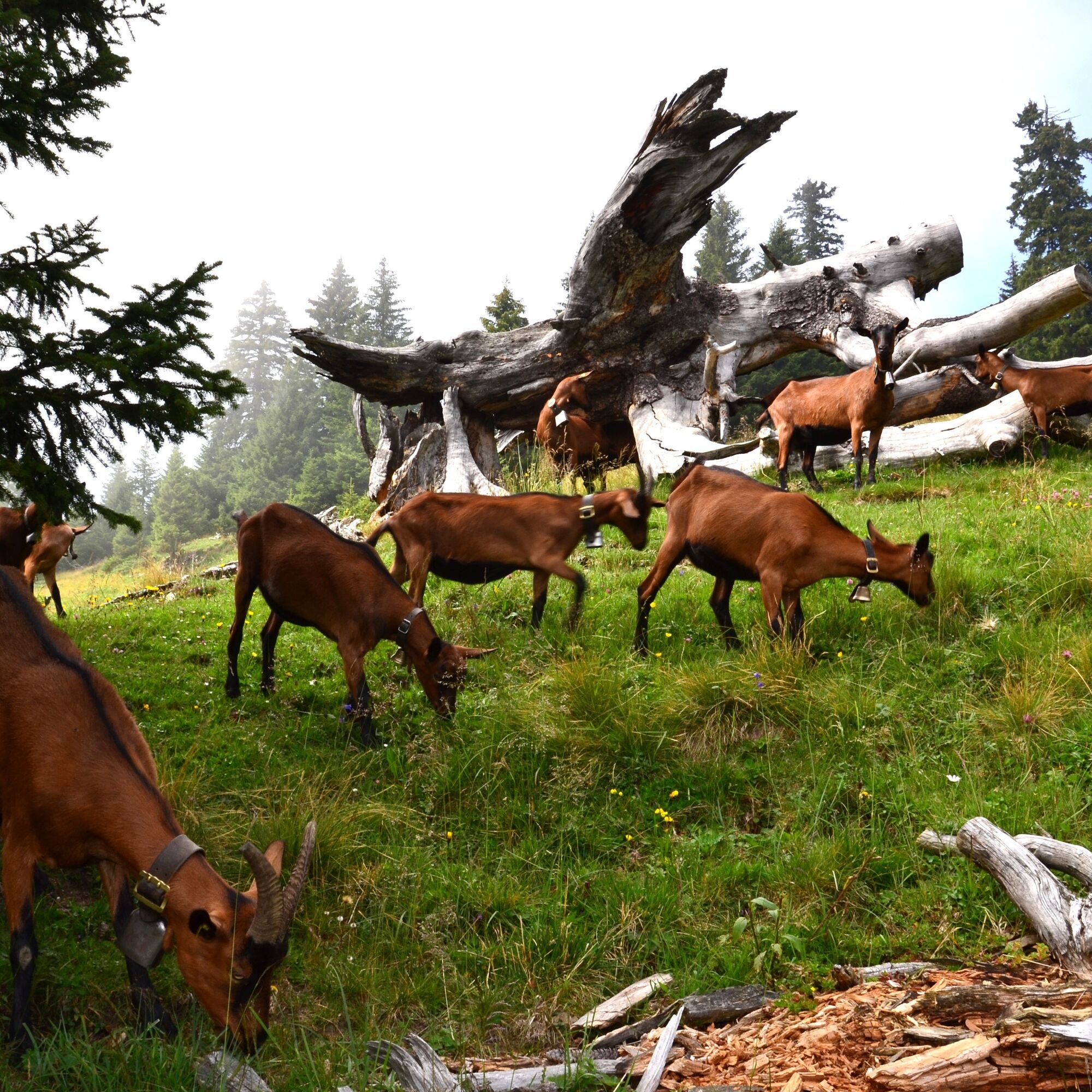
For this descent option to the valley station, we have chosen the shortest route. It is partly very steep but not dangerous. Due to the altitude difference to be covered, the leg and knee muscles will be heavily strained. Initially, the descent leads over alpine pastures and through loose forest; from the Hinderspina, it continues steeply downhill through loose forest and along rock faces.

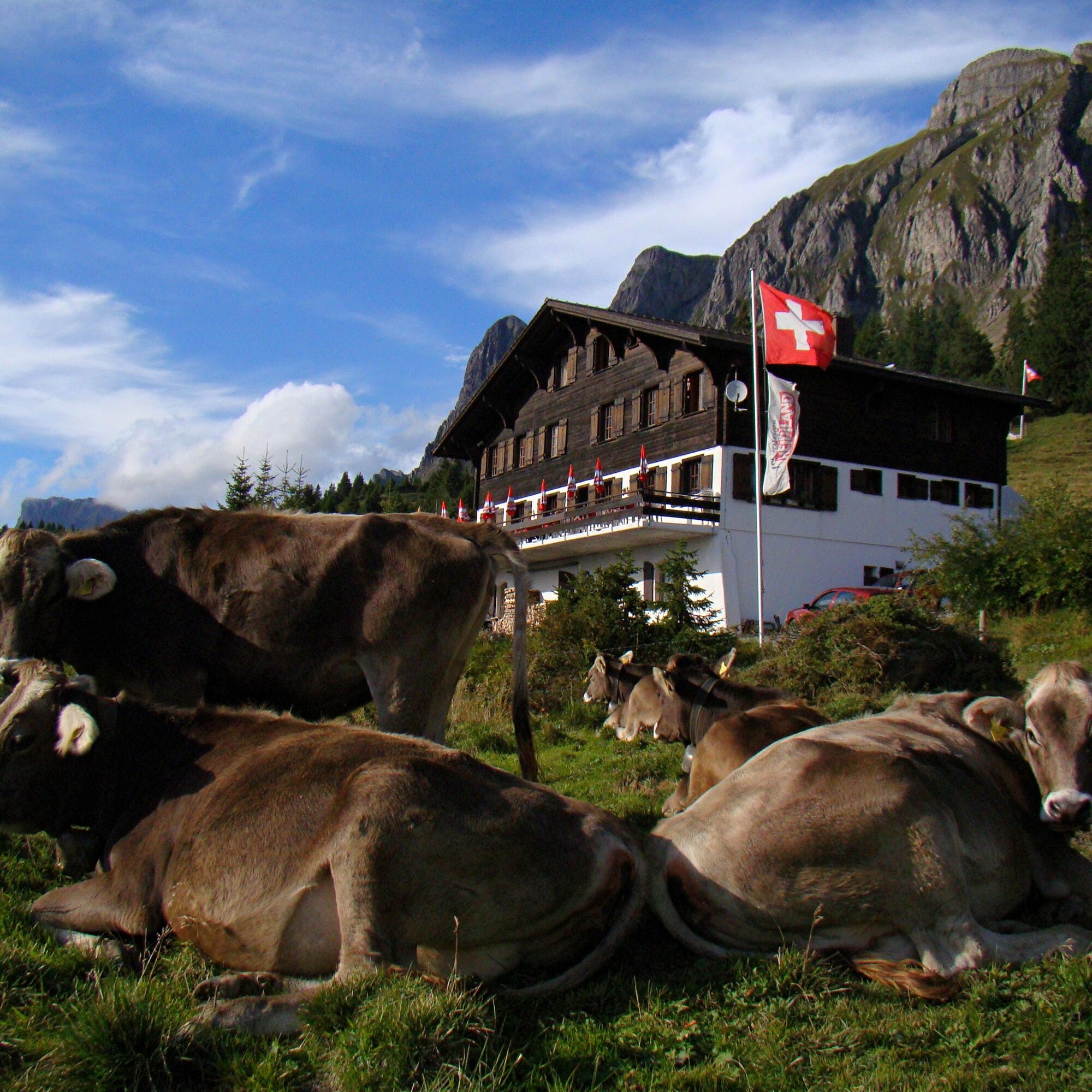
From the mountain station, we hike northwest to the Palfries mountain inn. There, the mountain path branches off to the left and initially leads downhill over alpine pastures. After passing under the cable car road, the partially developed track leads through loose forest to the mountain farms Hinderspina. At the hut, we choose the path heading southeast. This is the steepest section of the descent, going through the forest and along wooded rock walls. Above Heiligkreuz, the mountain path merges into the district road (Erzweg). We follow the road downhill until we reach a road intersection where Kürschnen- and Tscherfingergasse and Erzweg meet. Our path continues through Kürschnengasse (turn right) and shortly afterwards keep right or go straight. The path passes by a gravel trap and soon merges into a dirt road. Here, continue right over the Reschubach bridge, through the barn and houses, then more or less along the forest edge and later the dry stone wall to the hamlet of Oberragnatsch. The trail crosses the Ragnatscher Bach in the forest. Shortly before the destination, we must pay close attention to the trail signs at the large square. In particular, the path over the dam is not to be chosen. Upon exiting the forest, you can already see the cable car valley station.
Yes
Day hiking backpack (approx. 20 liters) with rain cover, sturdy and comfortable footwear, weather-appropriate and durable clothing in a layering system, if necessary telescopic poles, sun and rain protection, provisions and drinking water, first aid kit, pocket knife, mobile phone, if necessary headlamp, map material
Motorway exit Flums, then on the main road towards Sargans/Mels. The valley station of the Palfries cable car is located in Heiligkreuz on the left side of the road. The Palfries cable car is signposted.
By train to Flums or Sargans, then by bus to the Heiligkreuz Ragnatsch stop. Ride with the Palfries cable car.
Public parking available at the valley station of the Palfries cable car (paid)
Palfries Cable Car
+41 81 599 43 79
(Reservation required)
Heidiland Tourism, Bad Ragaz Information Office
+41 81 300 40 20
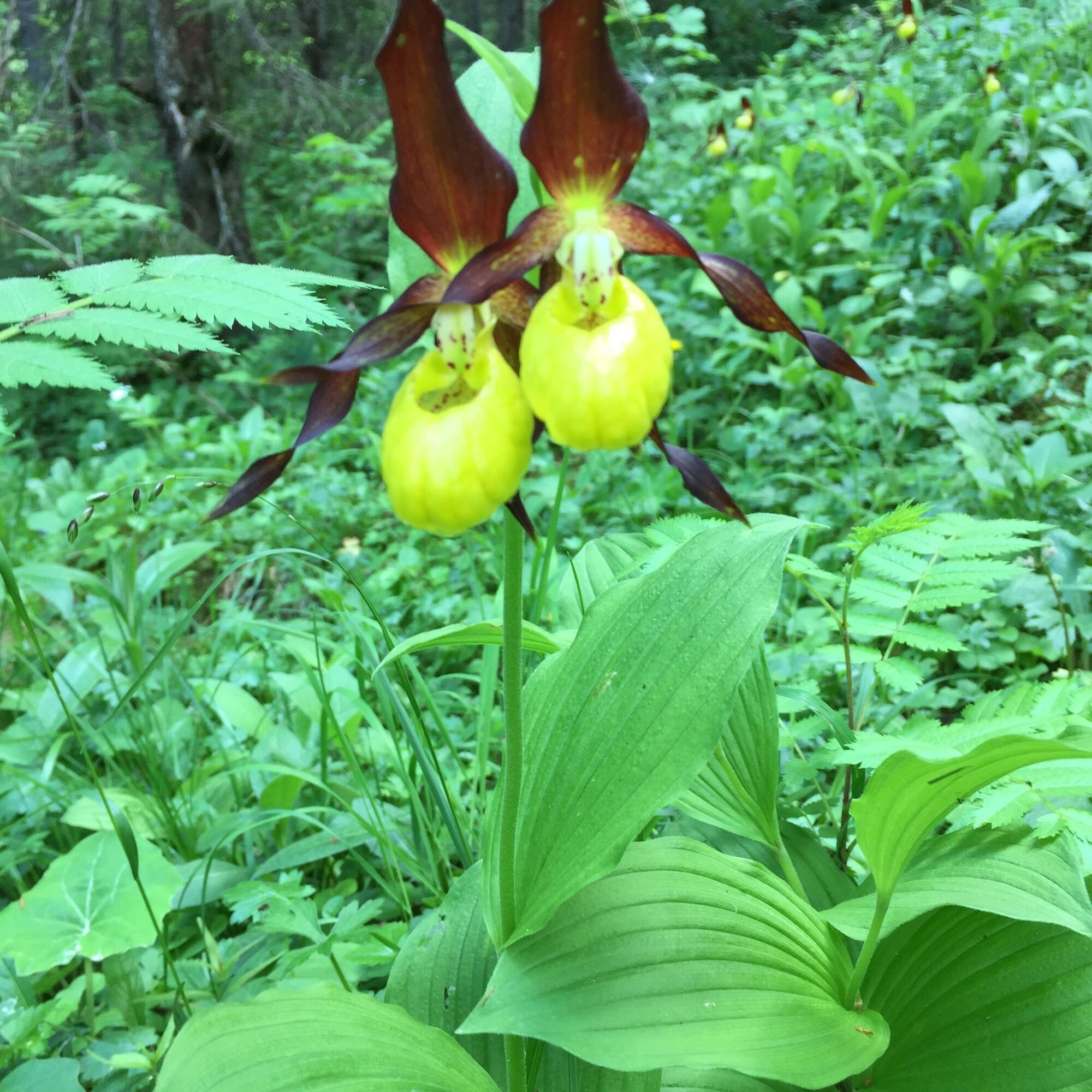
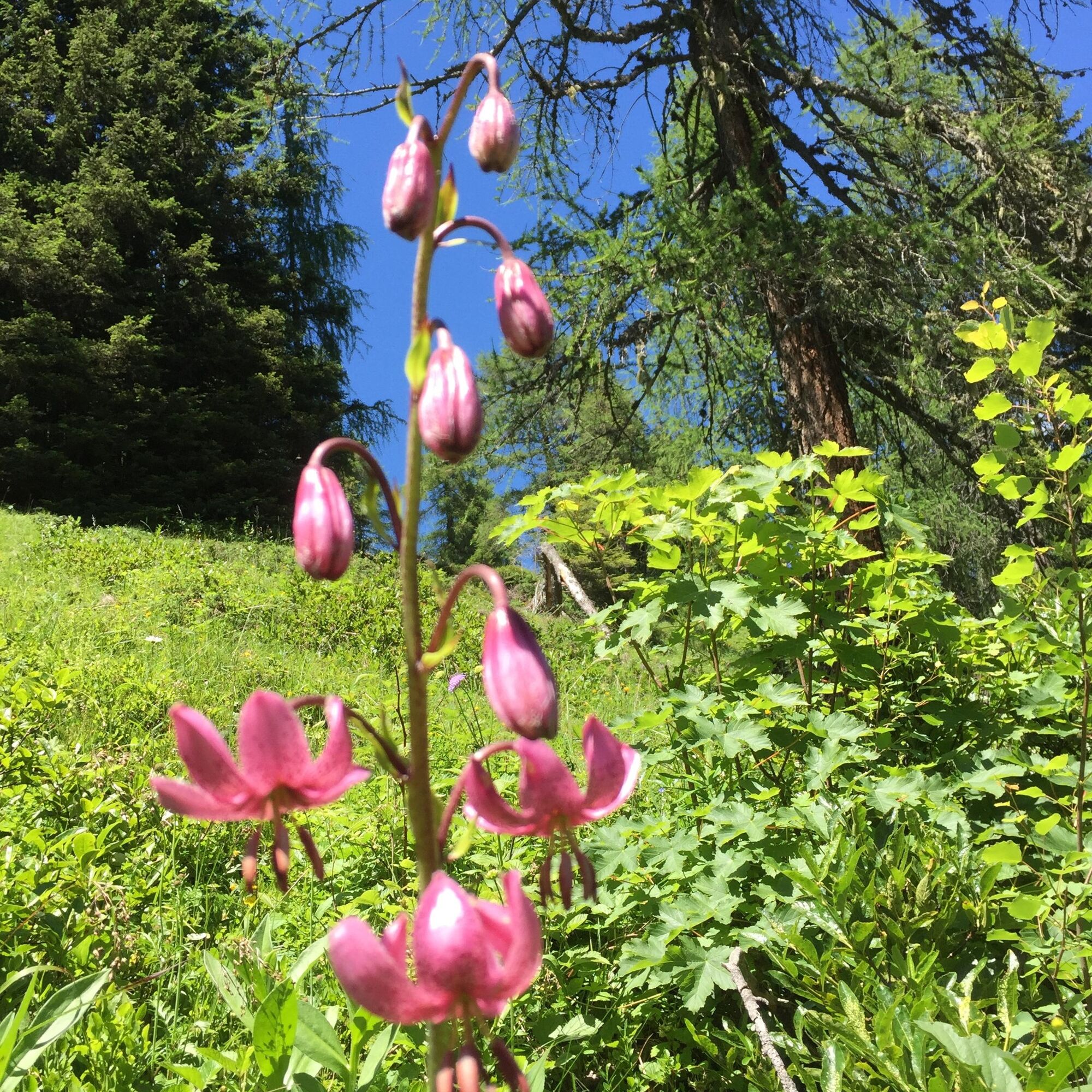
On the descent, we encounter various alpine and, on the Hinderspina, rare meadow flowers.
Popular tours in the neighbourhood
-
4,7
Riviera Walensee Walenstadt - Quinten
mediumPješačenje 10,4 km -
4,6
To the Alpspitz summit cross
lightPješačenje 6,27 km -
4,8
From Malbun to the Schönberg
mediumPješačenje 12,4 km -
4,8
Pizalun circular route
lightPješačenje 7,18 km -
4,6
5-Seen Wanderung am Pizol
lightPješačenje 10,1 km -
4,7
Alvier
mediumPješačenje 3,33 km -
4,7
Pizol - Batöni - Weisstannen
heavyPješačenje 11,7 km -
Schönberg - im Herzen der Liechtensteiner Alpen
Pješačenje 11,6 km -
Lake Chapfen round trip
lightPješačenje 4,27 km -
5,0
Schrina Alp and Cultural Trail
mediumTematska staza 11,5 km

bergfex Tours


Ne propustite ponude i inspiraciju za vaš sljedeći odmor
Your e-mail address has been added to the mailing list.