
- Kratak opis
-
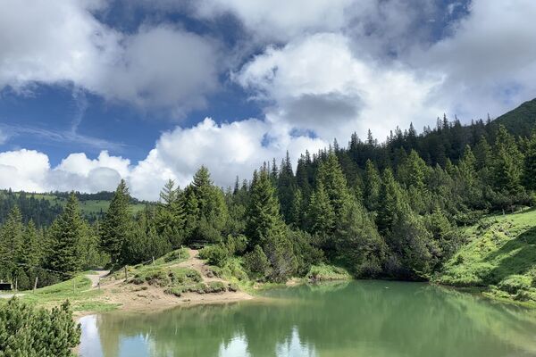
Inspiring view into the distance
- Teškoća
-
lagano
- Vrednovanje
-
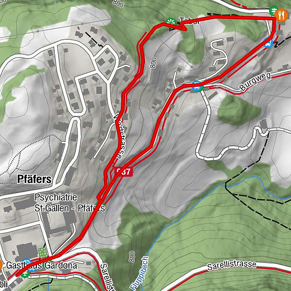
- Wegverlauf
-
Pfäfers (820 m)0,3 kmTabor0,7 km
- Beste Jahreszeit
-
sijveljožutrasvilipsrpkolrujlisstupro
- Höchster Punkt
- 818 m
- Zielpunkt
-
Pfäfers, Klinik
- Höhenprofil
-
 © outdooractive.com
-

-
AutorDie Tour Viewpoint Tabor wird von outdooractive.com bereitgestellt.
GPS Downloads


Opće informacije
Einkehrmöglichkeit
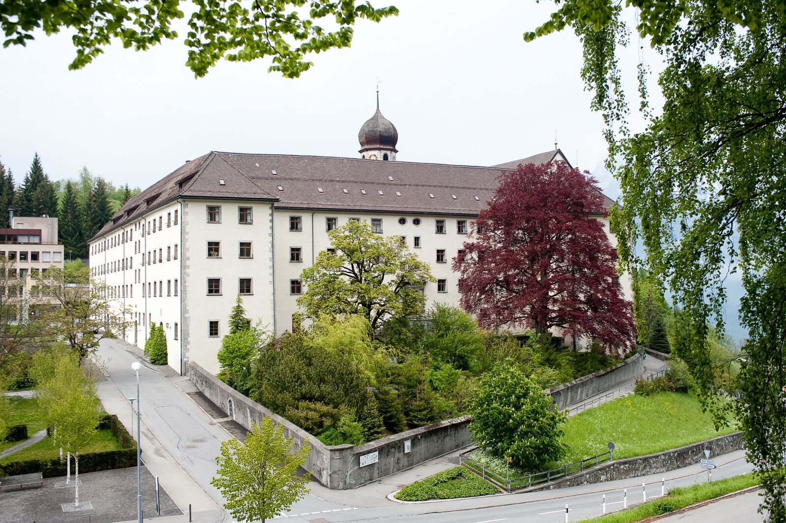
Kulturell/Historisch
Aussichtsreich