


Europe's highest prehistoric site, the Drachenloch, is the destination of this demanding hike. The ascent takes place over a very steep mountain path that leads hikers through beech and fir forests to...
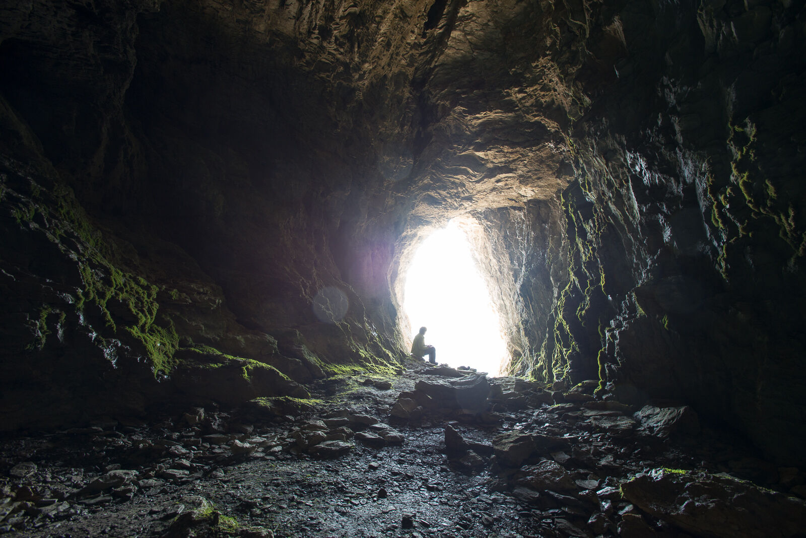
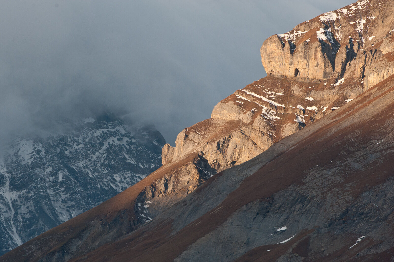
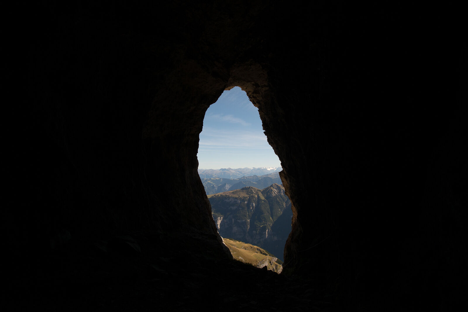
Europe's highest prehistoric site, the Drachenloch, is the destination of this demanding hike. The ascent takes place over a very steep mountain path that leads hikers through beech and fir forests to the Gelbberg sheep pasture. From the hut, the Drachenloch in the summit wall of the Drachenberg is visible. The historic cave is reached on a grassy slope and a narrow ledge that requires some concentration. The view of the Rätikon group and up to Piz Buin is overwhelming and unique.

Vättis – Patina – Gelbberg – Drachenloch – Vättis
Yes
Good hiking equipment, very stable mountain boots.
Depending on the weather, some sections can be very slippery.
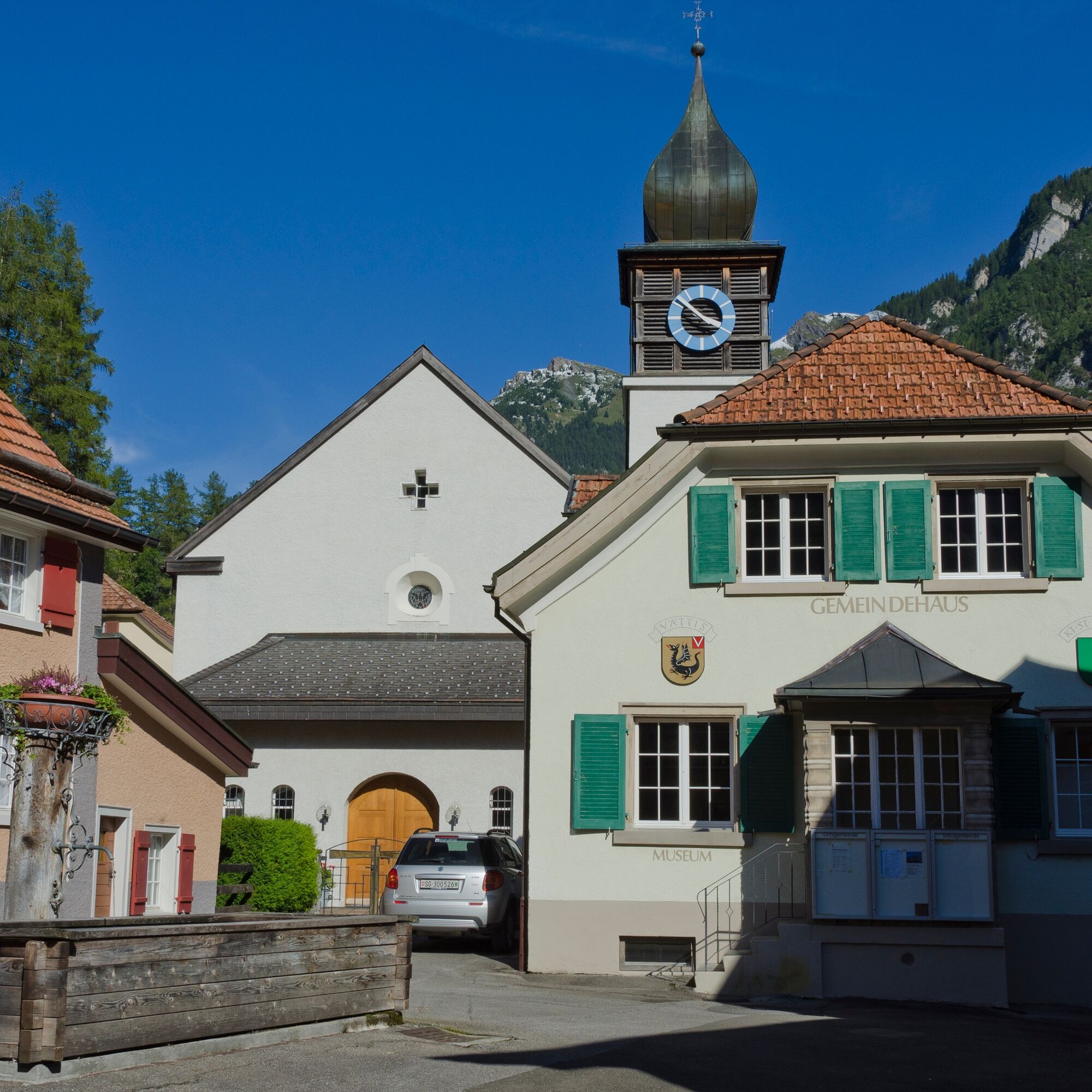
Motorway exit Bad Ragaz. Drive on the mountain road towards Pfäfers/Valens to Vättis.
By train to Bad Ragaz and then by post bus to Vättis.
Heidiland Tourism, Bad Ragaz information office
T +41 81 300 40 20
www.heidiland.com
Popular tours in the neighbourhood
-
4,5
4-lake hike
mediumPješačenje 12,8 km -
4,8
Pizalun circular route
lightPješačenje 7,18 km -
4,6
5-Seen Wanderung am Pizol
lightPješačenje 10,1 km -
4,7
Pizol - Batöni - Weisstannen
heavyPješačenje 11,7 km -
Lake Chapfen round trip
lightPješačenje 4,27 km -
4,3
Via Ferrata Pinut
mediumVia ferrata 5,82 km -
5,0
Circular hike Bettlerweg & 2-Lakes Hike Pizol
mediumPješačenje 11,4 km -
4,5
Pizol summit tour
mediumPješačenje 9,28 km -
4,5
Bad Ragatz mit Taminaschlucht nach Pfäffers
mediumPješačenje 16,3 km -
5,0
Maienfeld-Fläsch Wine Route
lightPješačenje 12,3 km

bergfex Tours


Ne propustite ponude i inspiraciju za vaš sljedeći odmor
Your e-mail address has been added to the mailing list.