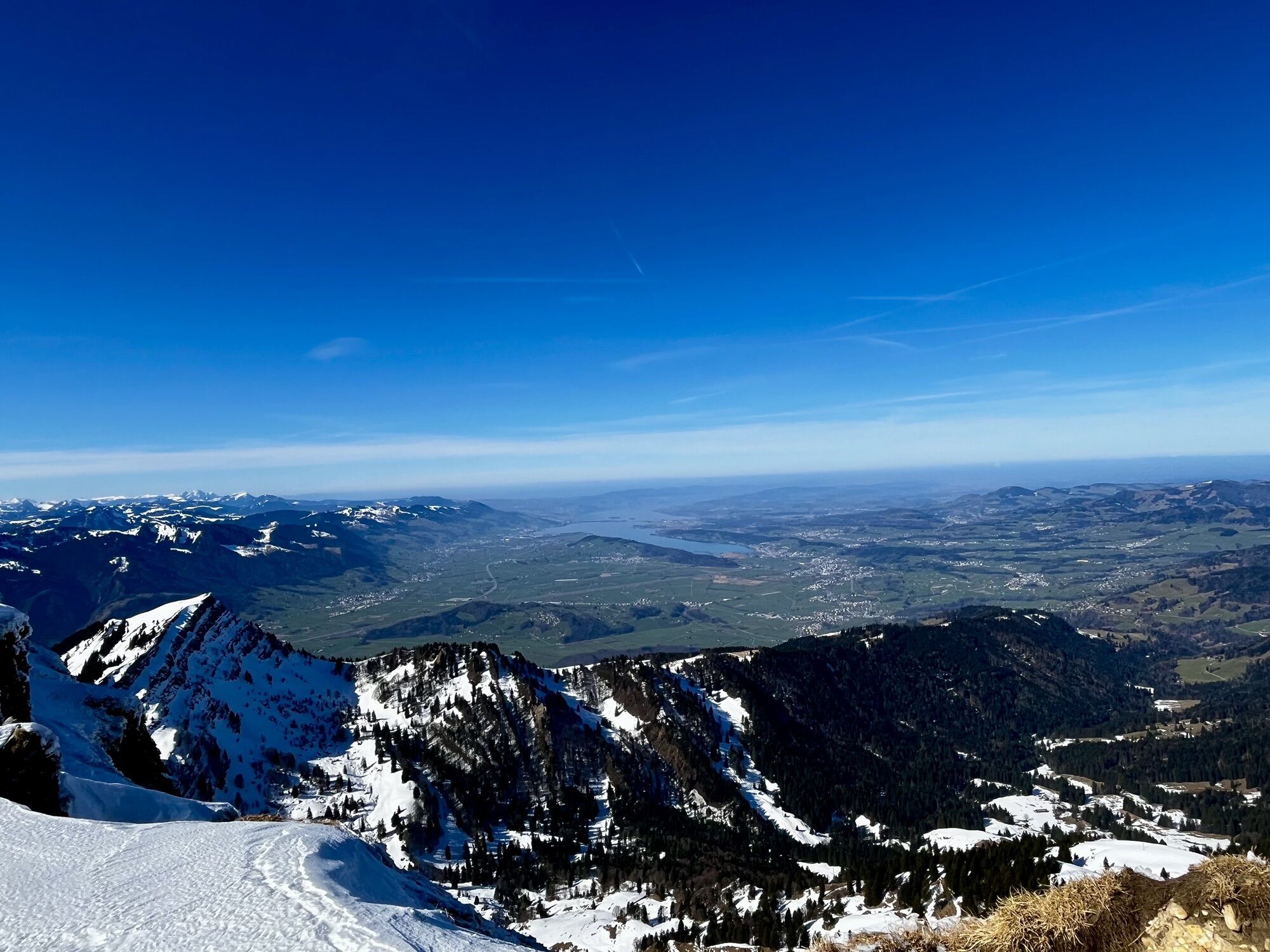
Ebnat-Kappel - Speer - Abahorn - Schänis
heavy
Navigate
Navigate
Get this tour on your mobile
Ebnat-Kappel - Speer - Abahorn - Schänis
heavy
Pješačenje
23,50
km
Scan the QR code and start navigation in the bergfex app

Hiking & Tracking


Distance
23,50
km
Duration
08:22
h
Ascent
1.534
m
Sea level
422 -
1.941
m
Track download
Ebnat-Kappel - Speer - Abahorn - Schänis
heavy
Pješačenje
23,50
km


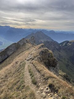
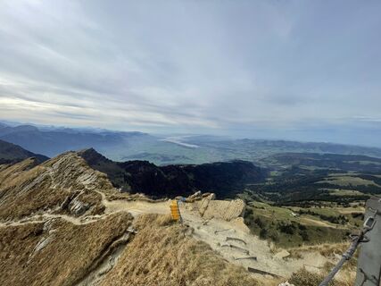
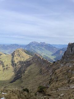
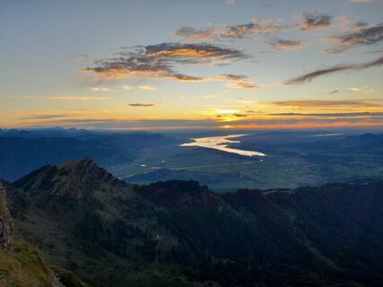
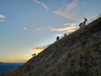
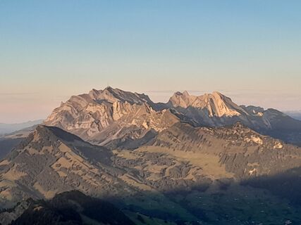
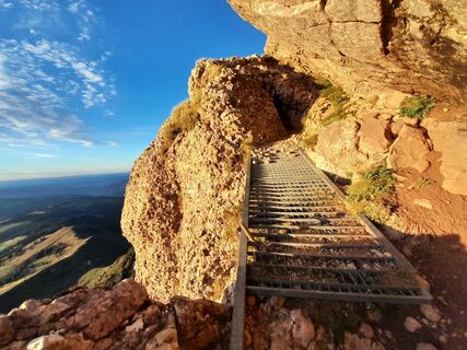
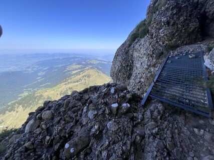
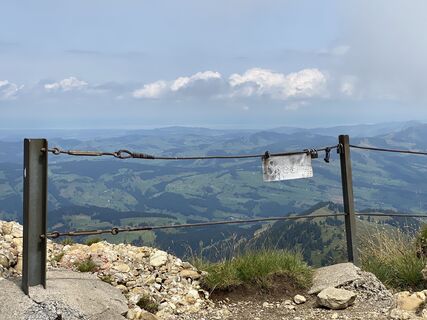
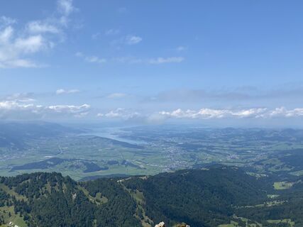
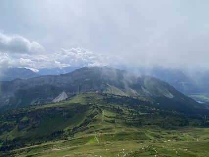
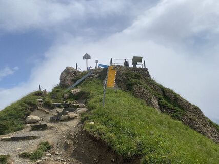
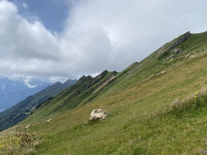
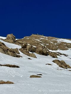
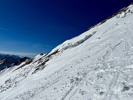
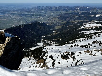
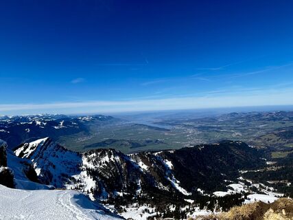
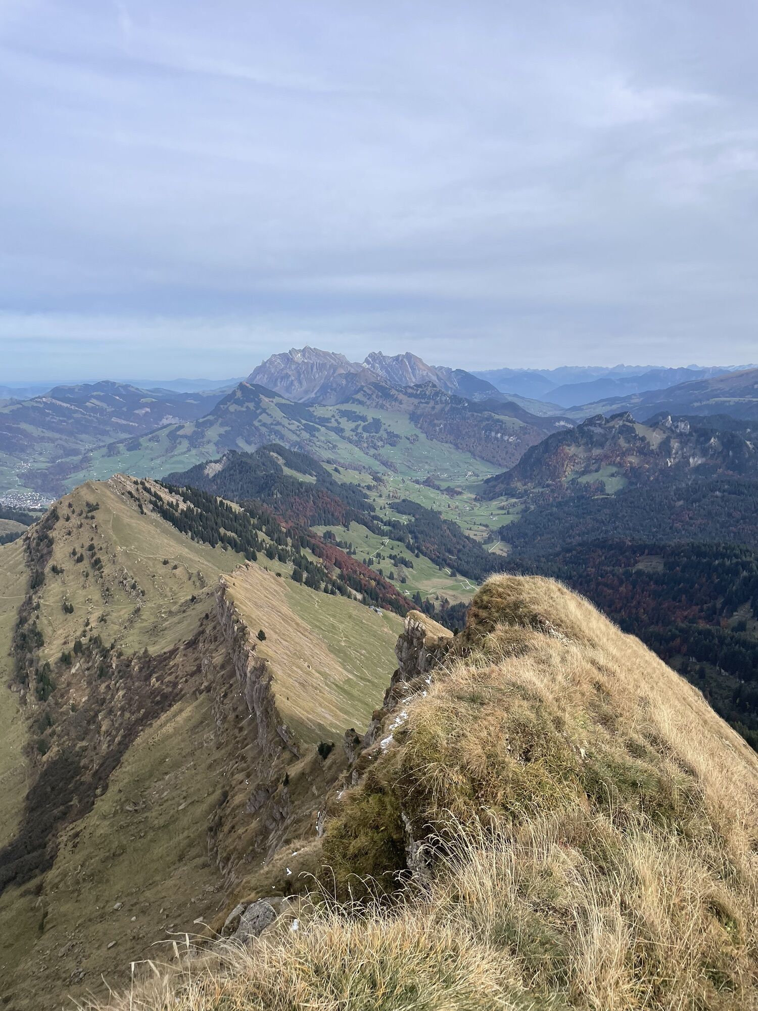
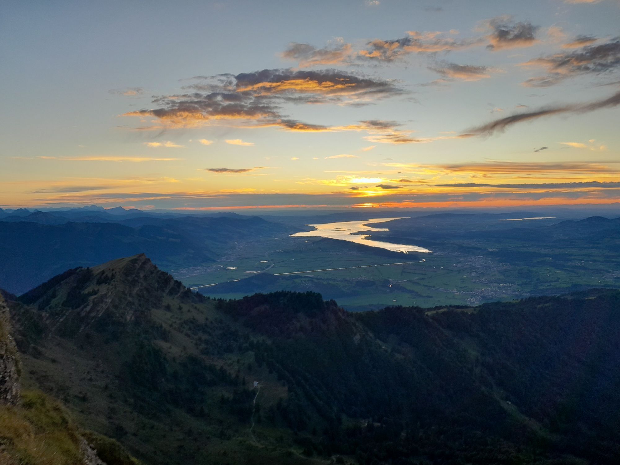
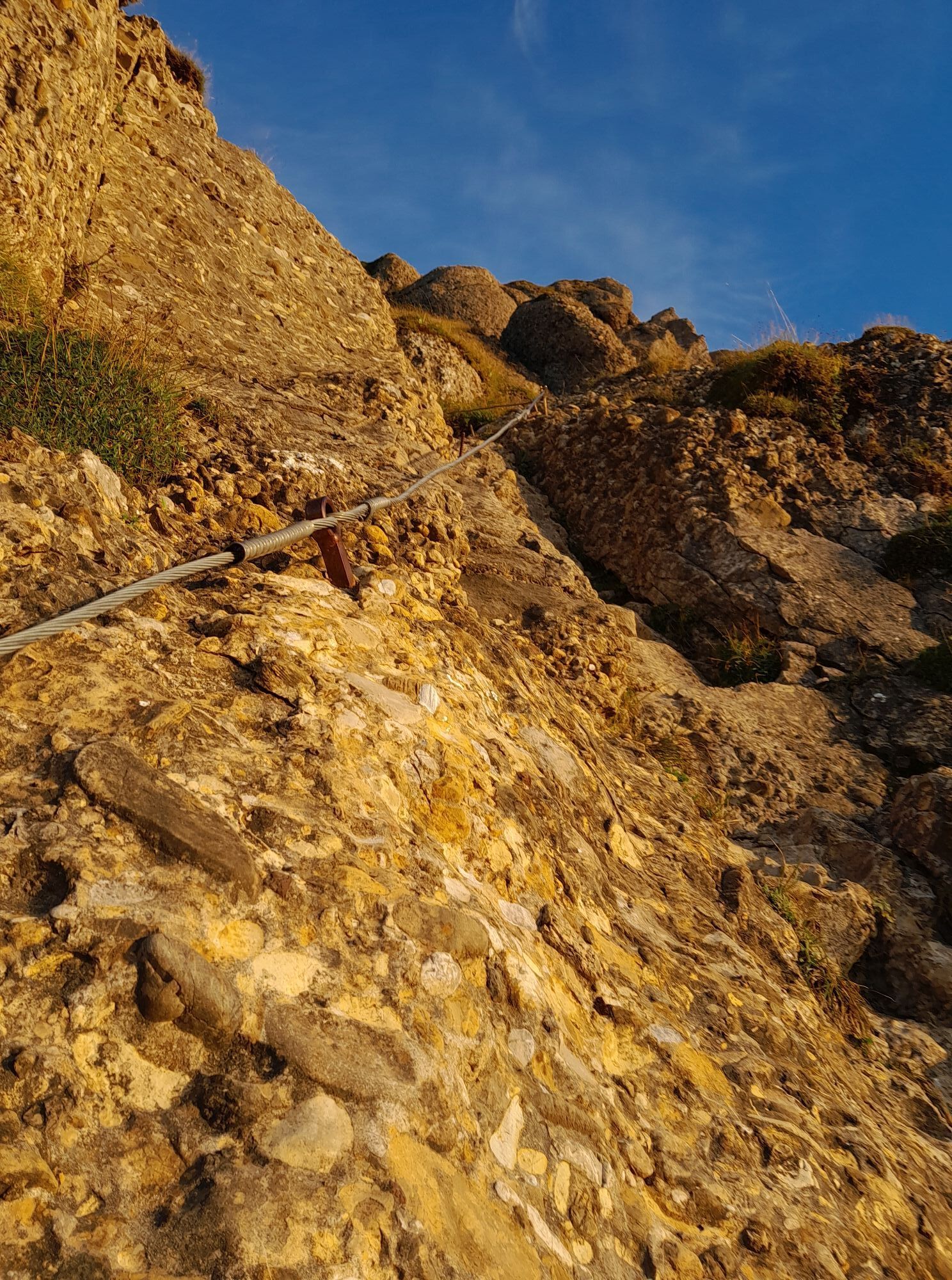
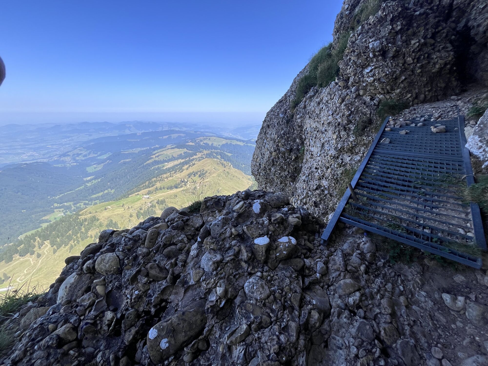
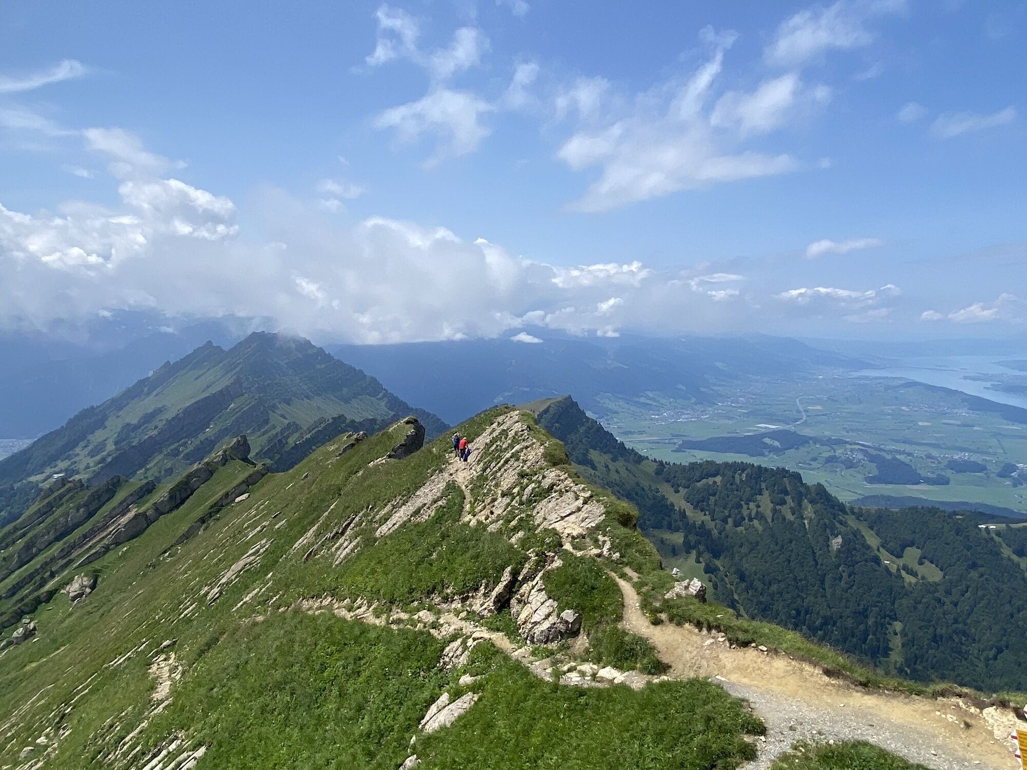
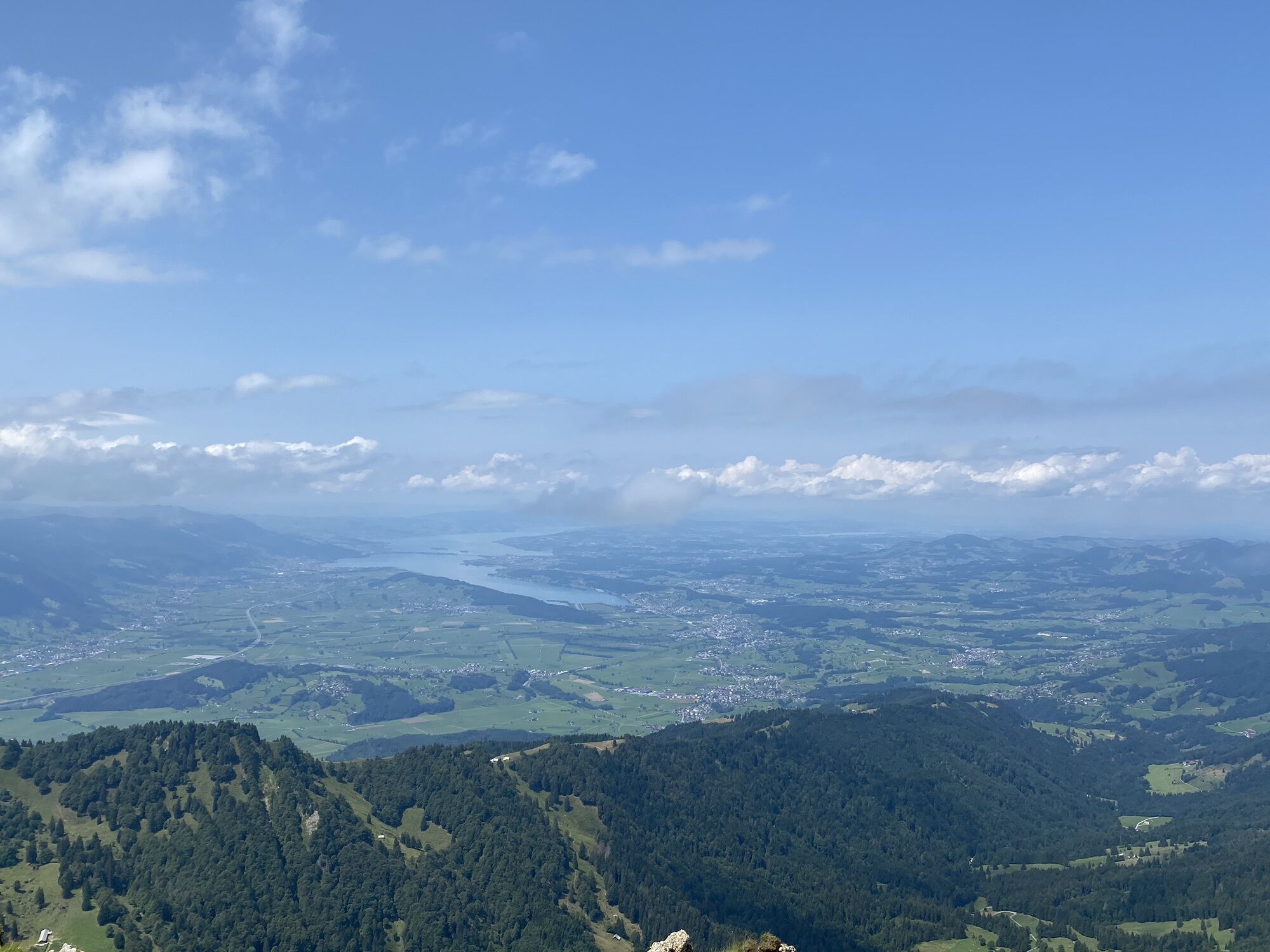
Photos from our users
-
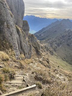
 © ruoss thomasCreated on 19.10.2025
 -
 © ruoss thomasCreated on 19.10.2025
 -
 © ruoss thomasCreated on 19.10.2025
 -
 © ruoss thomasCreated on 19.10.2025
 -
 © ruoss thomasCreated on 19.10.2025
 -
 © ruoss thomasCreated on 19.10.2025
 -
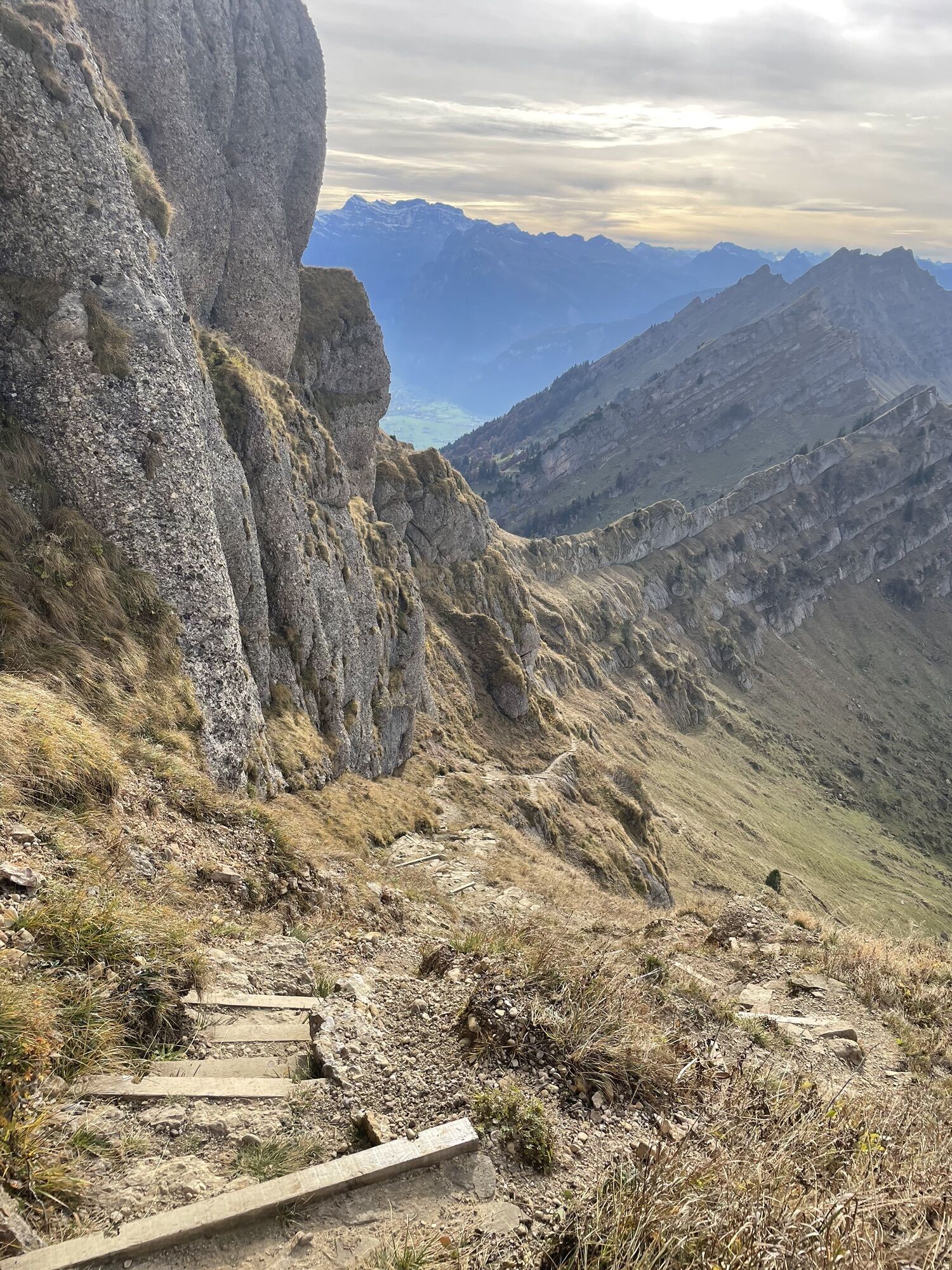
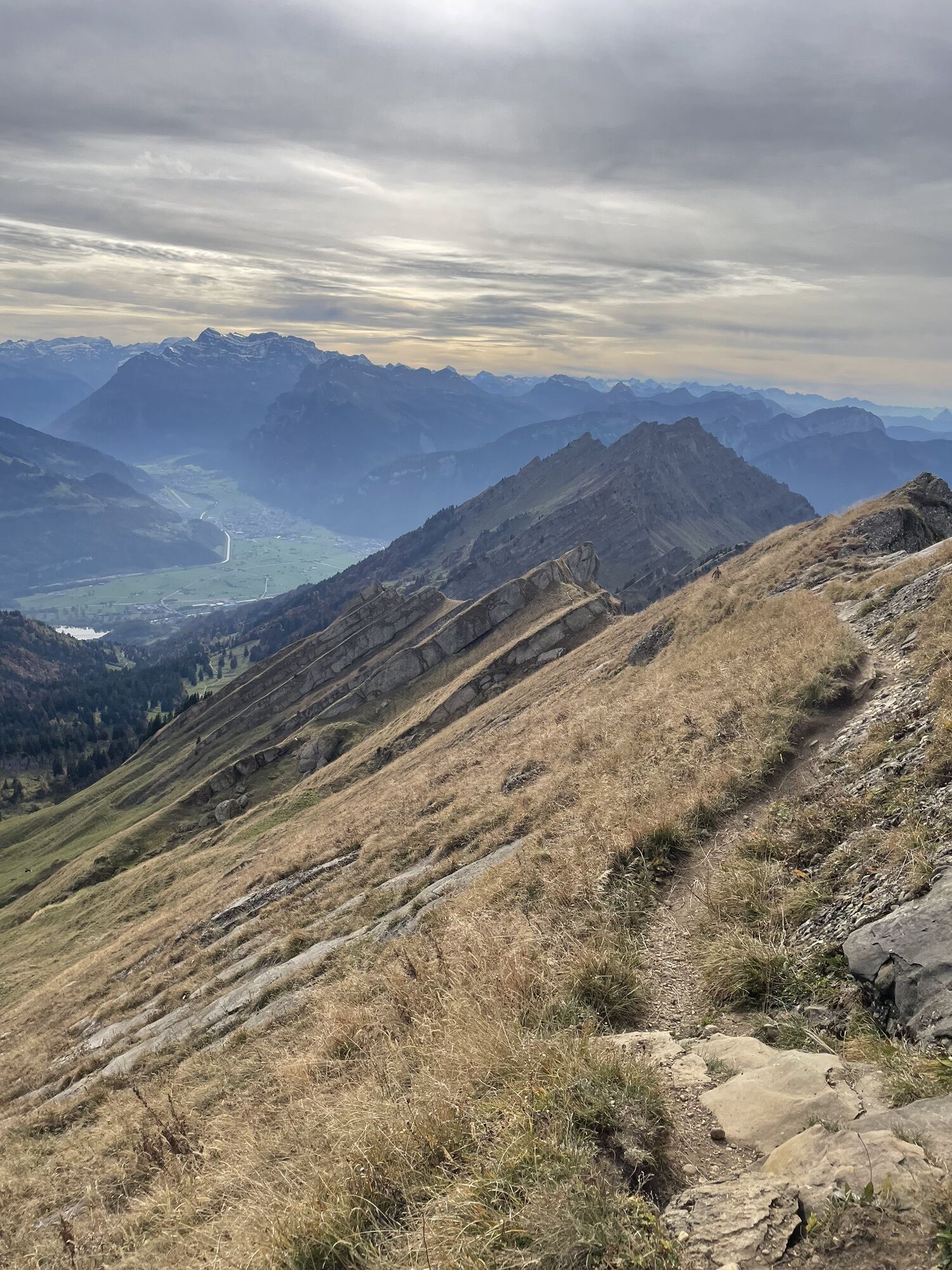
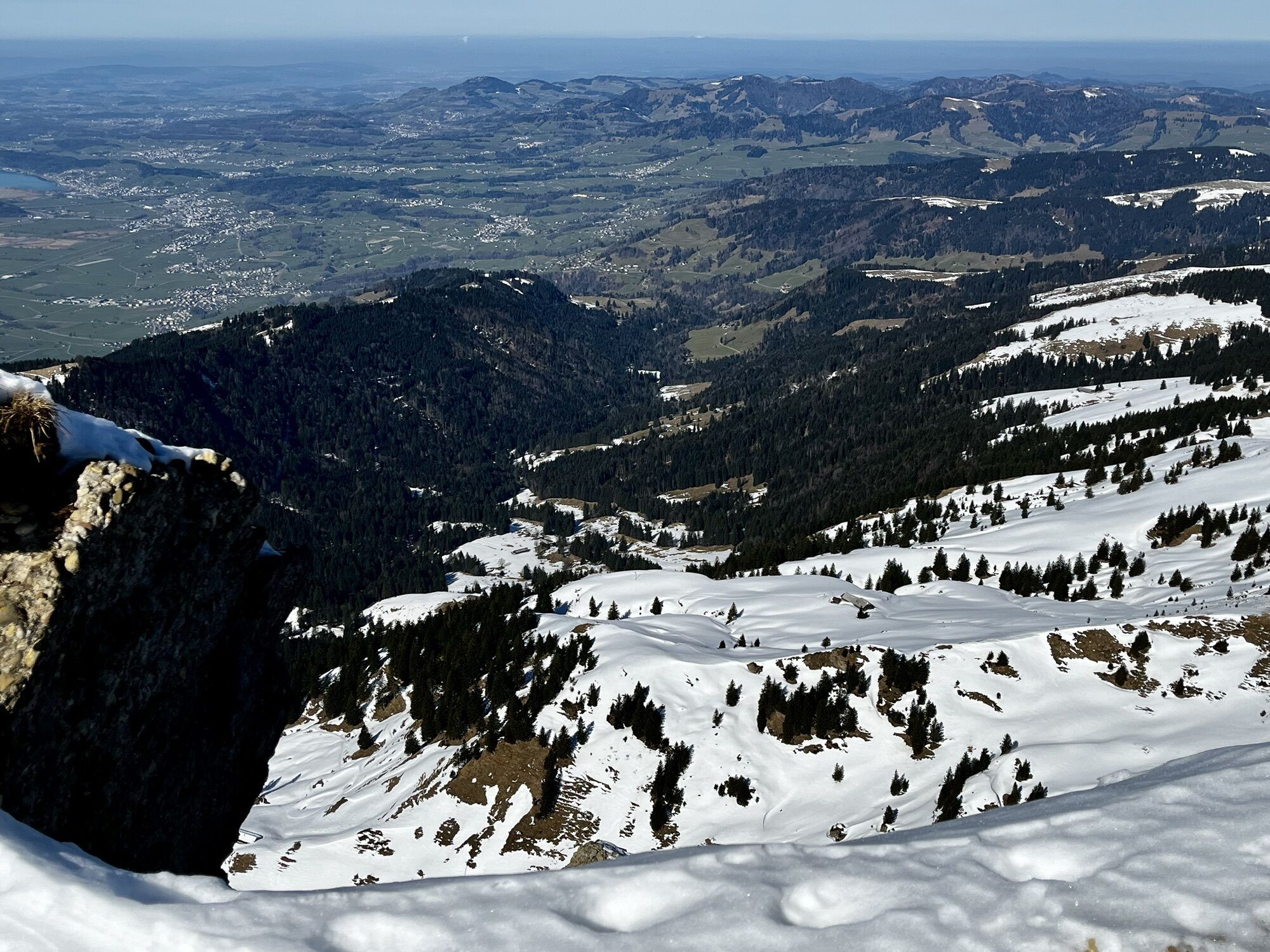
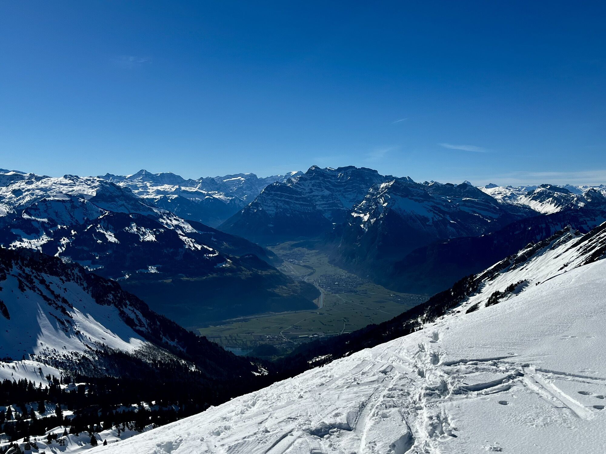
 © Andreas StadelCreated on 03.09.2025
 -
 © Andreas StadelCreated on 03.09.2025
 -
 © Andreas StadelCreated on 03.09.2025
 -
 © Andreas StadelCreated on 03.09.2025
 -
 © Andreas StadelCreated on 03.09.2025
 -
 © Marcel G.Created on 11.08.2025
 -
 © Juergen RehgCreated on 22.07.2023
 -
 © Juergen RehgCreated on 22.07.2023
 -
 © Juergen RehgCreated on 22.07.2023
 -
 © Juergen RehgCreated on 22.07.2023
 -
 © Juergen RehgCreated on 22.07.2023
 -
 © Juergen RehgCreated on 22.07.2023
 -
 © Juergen RehgCreated on 22.07.2023
 -
 © Angelina StarkeCreated on 04.03.2025
 -
 © Angelina StarkeCreated on 04.03.2025
 -
 © Angelina StarkeCreated on 04.03.2025
 -
 © Angelina StarkeCreated on 04.03.2025
 -
 © Angelina StarkeCreated on 04.03.2025


Route
Evangelische Kirche Kappel
(646 m)
Place of worship
0,2 km
Rüti
(713 m)
Corridor/terrain
2,3 km
Wannespitzli
(1.510 m)
Summit
8,7 km
Bützalpsattel
(1.591 m)
Mountain saddle
10,7 km
Speer
(1.950 m)
Summit
14,0 km
Abahorn
(1.813 m)
Summit
14,7 km
Rathausplatz
(423 m)
Neighbourhood
23,5 km
Route
Ebnat-Kappel - Speer - Abahorn - Schänis
heavy
Pješačenje
23,50
km
Ebnat-Kappel
(632 m)
Village
0,0 km
Evangelische Kirche Kappel
(646 m)
Place of worship
0,2 km
Ebnat
(638 m)
Village
0,7 km
Die Fabrik
(637 m)
Restaurant
0,9 km
Rüti
(713 m)
Corridor/terrain
2,3 km
Schorüti
(858 m)
Corridor/terrain
3,0 km
Ober Schorüti
(1.001 m)
Corridor/terrain
3,9 km
Allmen
(1.121 m)
Corridor/terrain
6,4 km
Wannespitzli
(1.510 m)
Summit
8,7 km
Bützalpsattel
(1.591 m)
Mountain saddle
10,7 km
Bütz
(1.571 m)
Corridor/terrain
10,9 km
Leiterli
(1.627 m)
Corridor/terrain
11,7 km
Speer
(1.950 m)
Summit
14,0 km
Abahorn
(1.813 m)
Summit
14,7 km
Furggli
(1.602 m)
Mountain saddle
16,1 km
Rathausplatz
(423 m)
Neighbourhood
23,5 km
Schänis
(423 m)
Village
23,5 km
No reviews yet
Popular tours in the neighbourhood
-
4,7
Riviera Walensee Walenstadt - Quinten
mediumPješačenje 10,4 km -
4,6
Riviera Lake Walen Weesen – Quinten
mediumPješačenje 10,2 km -
4,5
Weesen - Quinten - Walenstadt
heavyPješačenje 20,6 km -
5,0
Schrina Alp and Cultural Trail
mediumTematska staza 11,5 km -
4,5
Amden - Speer (Rundkurs)
lightPješačenje 17,6 km -
3,3
Seerenbach waterfalls
lightPješačenje 4,38 km -
5,0
Fronalpstock GL
mediumPješačenje 7,84 km -
4,2
Chestnut Path Murg
mediumTematska staza 3,28 km -
5,0
Chatzenloch hike with suspension bridge
lightPješačenje 5,91 km -
Walensee - Tour
heavyPješačenje 26,6 km
bergfex Tours

Over 550.000 tour suggestions, detailed maps and an intuitive route planner make the app a must-have for all nature enthusiasts.

Ne propustite ponude i inspiraciju za vaš sljedeći odmor
Subscribe to the newsletter
Error
An error has occurred. Please try again.
Thank you for your registration
Your e-mail address has been added to the mailing list.
Tours throughout Europe
Austrija
Švicarska
Njemačka
Italija
Slovenija
Francuska
Nizozemska
Belgija
Poljska
Lihtenštajn
Češka
Slovačka
Španija
Hrvatska
Bosna i Hercegovina
Luksemburg
Andora
Portugal
Island
Ujedinjeno Kraljevstvo
Irska
Grčka
Albanija
Sjeverna Makedonija
Malta
Norveška
Crna Gora
Moldova
Kosovo
Mađarska
San Marino
Rumunjska
Estonija
Latvija
Bjelorusija
Cipar
Litva
Srbija
Bugarska
Monako
Danska
Švedska
Finska