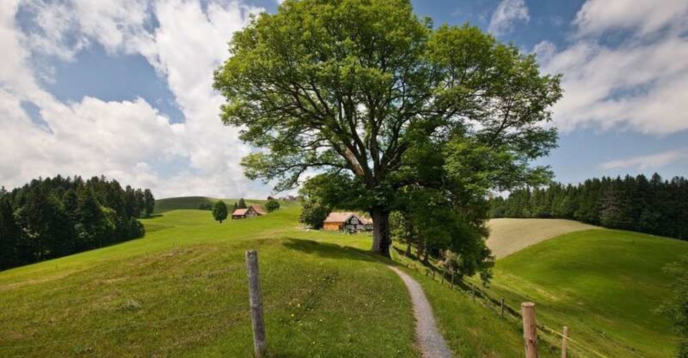
© Appenzellerland Tourismus AR - Jana Bacher
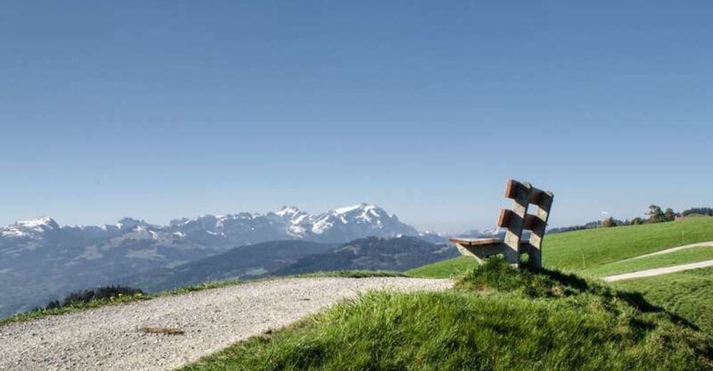
© Appenzellerland Tourismus AR - Jana Bacher
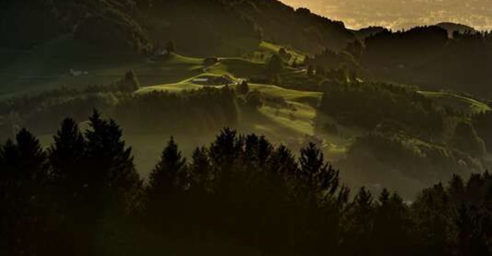
© Appenzellerland Tourismus AR - Jana Bacher
- Kratak opis
-
Can keep up with its namesake in Austria!
- Teškoća
-
srednje
- Vrednovanje
-
- Wegverlauf
-
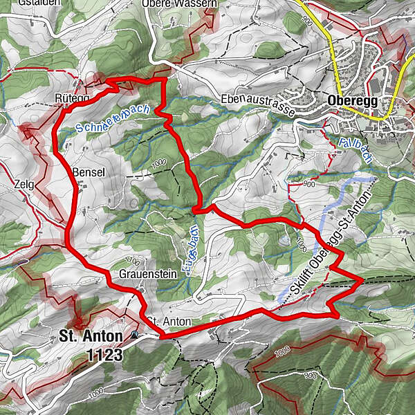
Kapelle St. AntonSt. Anton0,0 kmSt.Anton0,3 kmWirtschaft Rütegg4,8 kmRütegg4,8 kmSt. Anton (1.123 m)6,5 kmKapelle St. Anton6,6 kmSt. Anton6,6 km
- Beste Jahreszeit
-
sijveljožutrasvilipsrpkolrujlisstupro
- Höchster Punkt
- 1.108 m
- Zielpunkt
-
St. Anton
- Höhenprofil
-
 © outdooractive.com
- Autor
-
Die Tour St. Anton circular trail - long route wird von outdooractive.com bereitgestellt.
GPS Downloads


Opće informacije
Einkehrmöglichkeit
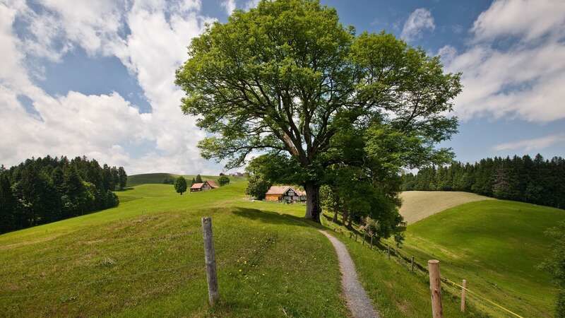
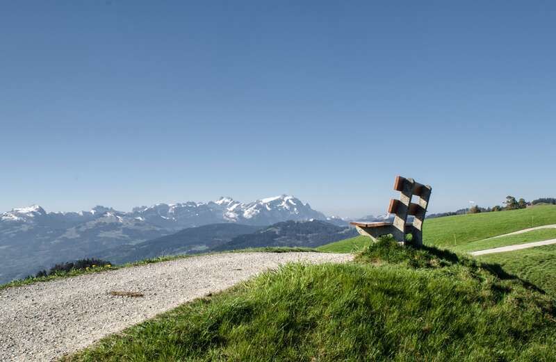
Aussichtsreich
Weitere Touren in den Regionen
-
St. Gallen - Bodensee
2067
-
St. Galler Rheintal
1334
-
Oberegg
250