© Appenzellerland Tourismus AR - Jolanda Spengler, Appenzeller Verlag

© Appenzellerland Tourismus AR - Jolanda Spengler, Appenzeller Verlag
© Appenzellerland Tourismus AR - Jolanda Spengler, Appenzeller Verlag
© Appenzellerland Tourismus AR - Jolanda Spengler, Appenzeller Verlag
- Kratak opis
-
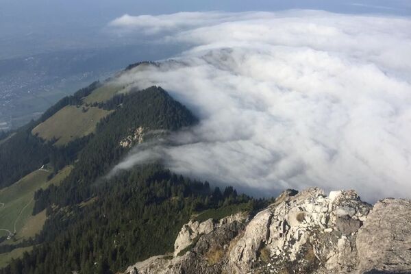
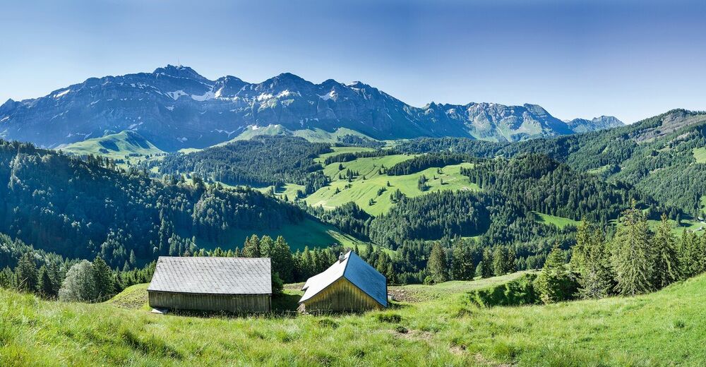
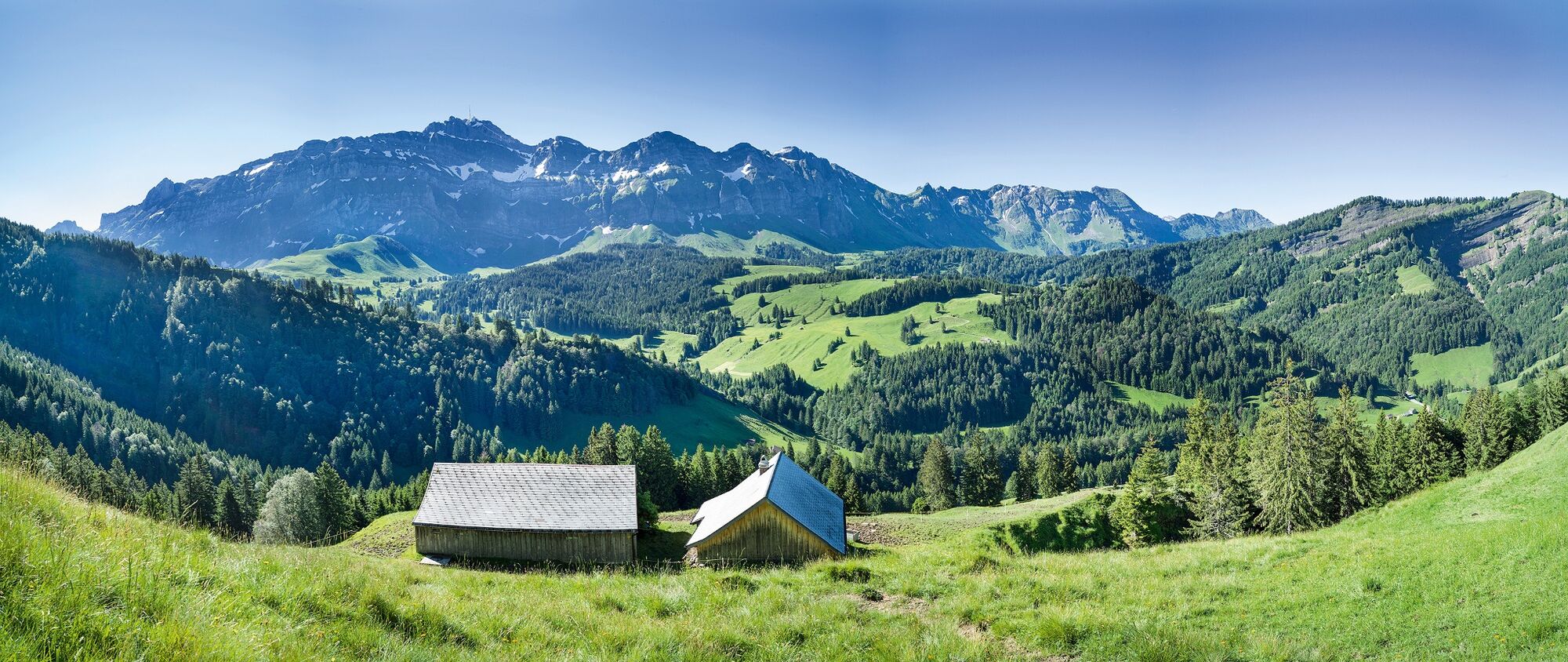
Even though Spitzli and Hoch Petersalp do not look as impressive as the Alpstein massif in the background, the ascent is quite challenging.
- Teškoća
-
srednje
- Vrednovanje
-
- Wegverlauf
-
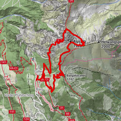
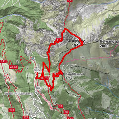
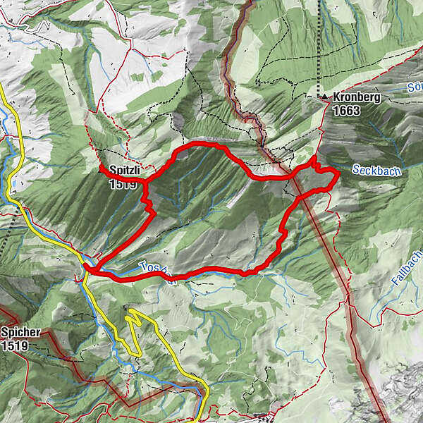
Spitzli2,4 kmGrossbetten4,6 kmNusshalde (1.497 m)5,4 kmLangälpli (1.366 m)6,7 kmRiglen8,4 km
- Beste Jahreszeit
-
sijveljožutrasvilipsrpkolrujlisstupro
- Höchster Punkt
- 1.572 m
- Zielpunkt
-
Urnäsch Steinflue
- Höhenprofil
-
 © outdooractive.com
- Autor
-
Die Tour Up and down with mount Säntis as backdrop wird von outdooractive.com bereitgestellt.
GPS Downloads


Opće informacije
Aussichtsreich
Weitere Touren in den Regionen
-
Appenzellerland
1956
-
Ebenalp
1094
-
Säntis / Schwägalp
333