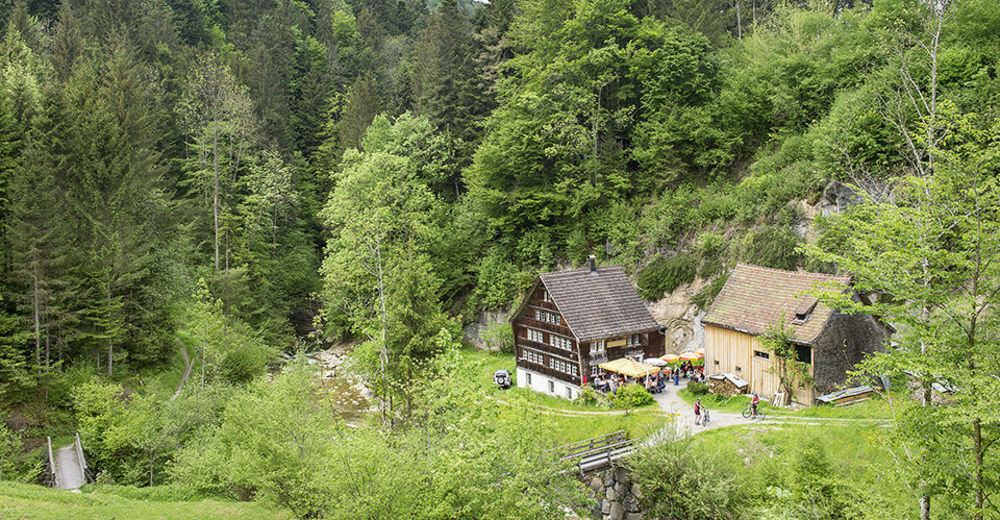
© Appenzellerland Tourismus AR - Celina Bernhart
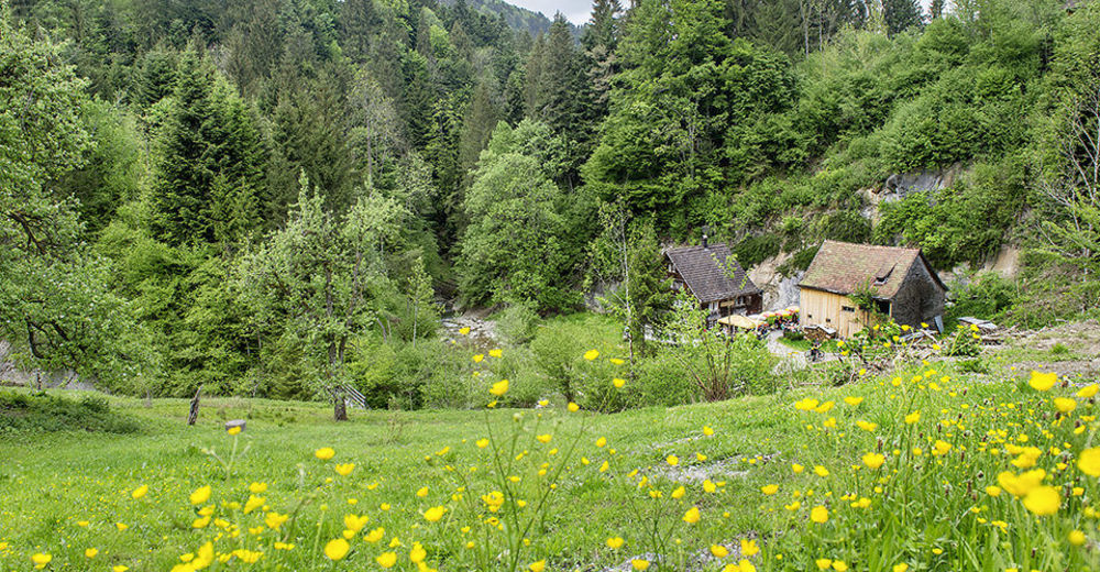
© Appenzellerland Tourismus AR - Jana Bacher
© Appenzellerland Tourismus AR - Jana Bacher

© Appenzellerland Tourismus AR - Celina Bernhart
- Kratak opis
-
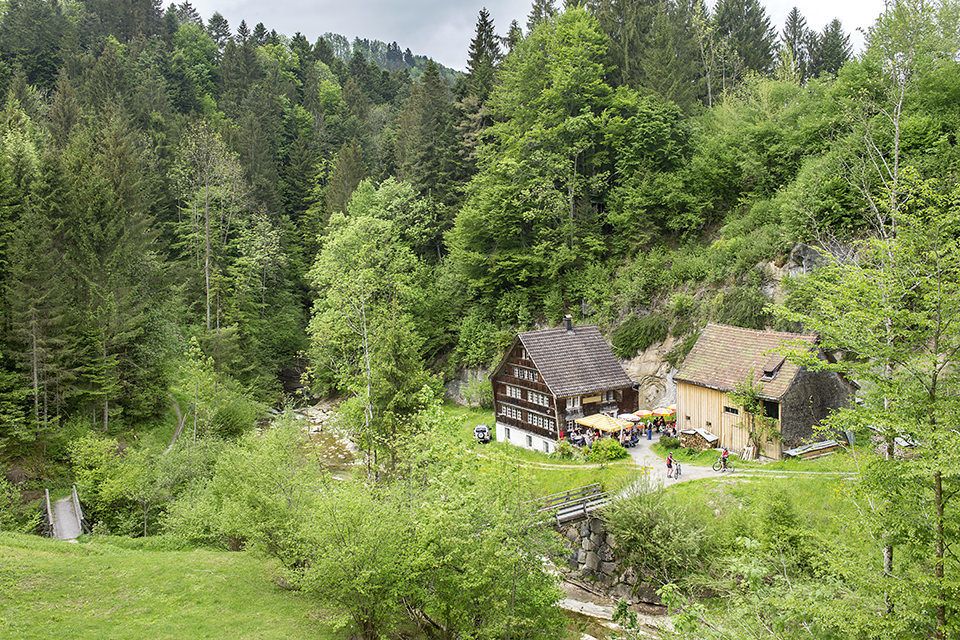
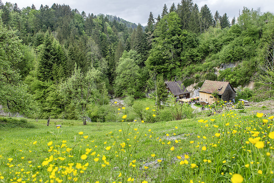
Discover the beauty of nature in the Chastenloch.
- Teškoća
-
srednje
- Vrednovanje
-
- Wegverlauf
-
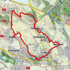
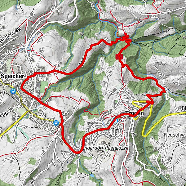
Trogen (903 m)0,1 kmKrone0,1 kmChastenloch2,3 kmSpeicher (924 m)4,4 kmSankt Gallen (675 m)4,6 kmTrogen6,7 kmTrogen (903 m)6,8 kmGasthaus zum Schäfli6,9 km
- Beste Jahreszeit
-
sijveljožutrasvilipsrpkolrujlisstupro
- Höchster Punkt
- 926 m
- Zielpunkt
-
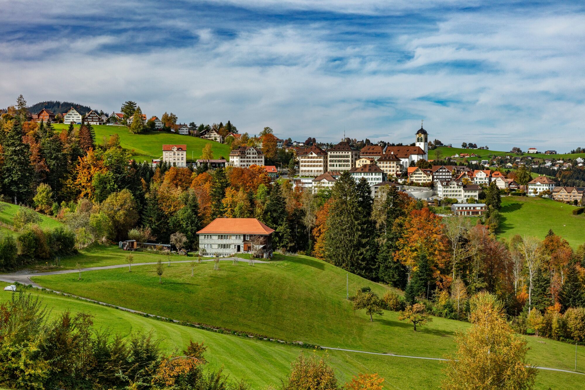
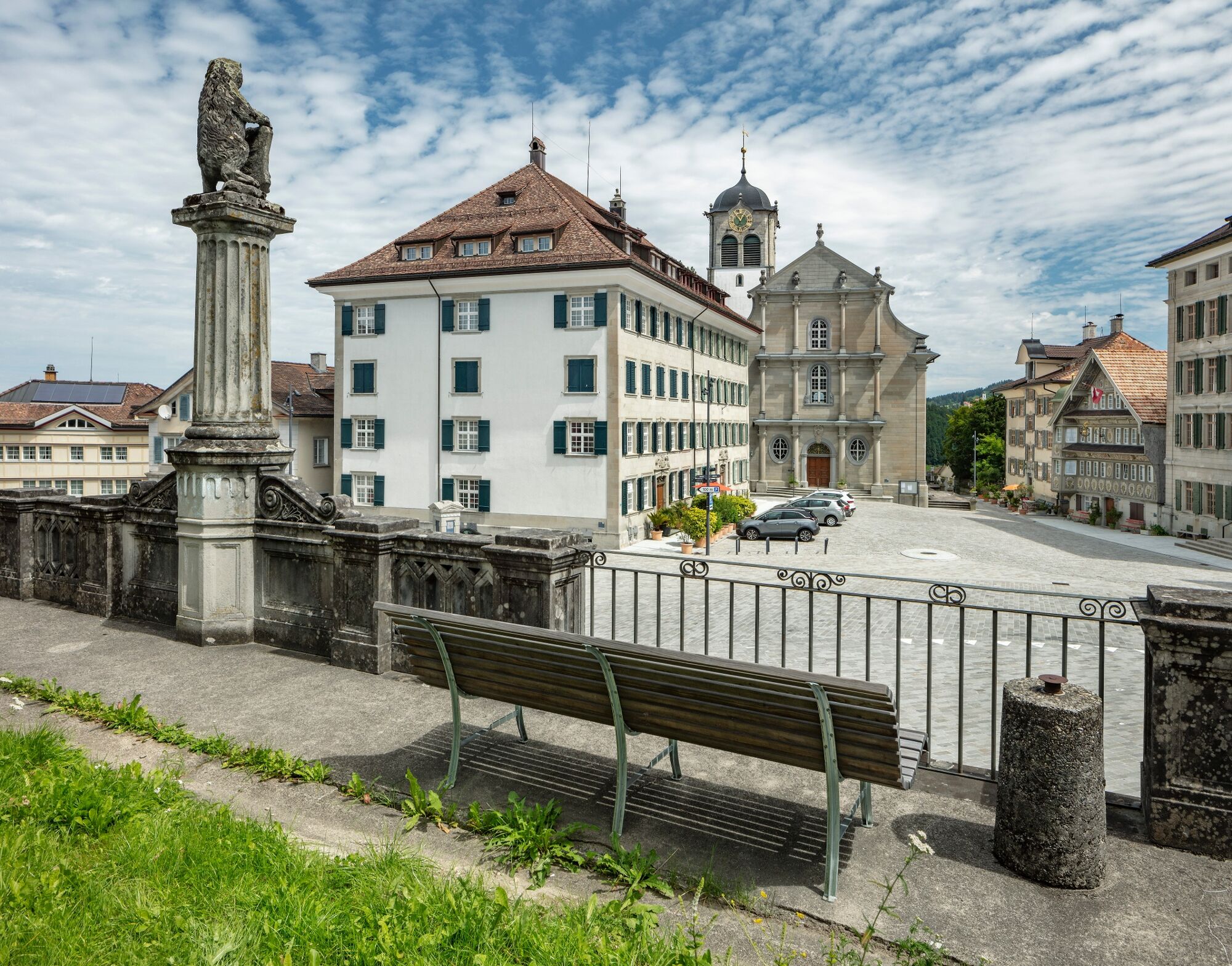
Trogen, Landsgemeindeplatz
- Höhenprofil
-
 © outdooractive.com
- Autor
-
Die Tour From Trogen to Chastenloch wird von outdooractive.com bereitgestellt.
GPS Downloads


Opće informacije
Aussichtsreich
Weitere Touren in den Regionen
-
St. Gallen - Bodensee
2065
-
St. Gallen und Umgebung
726
-
Trogen
252