


Level of difficulty: S1


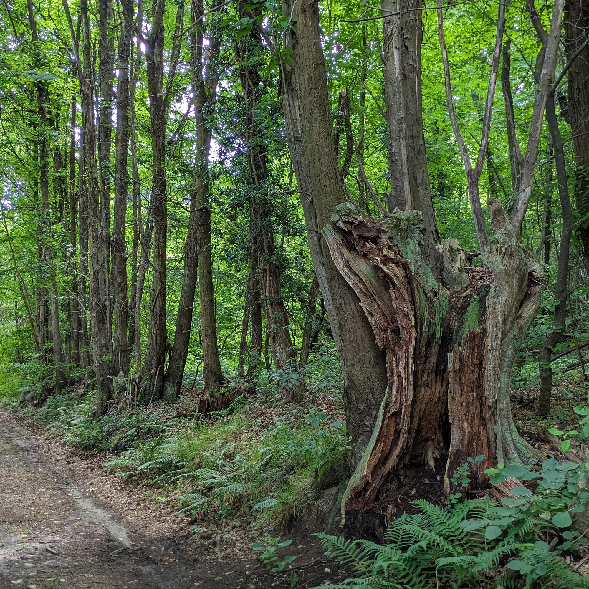
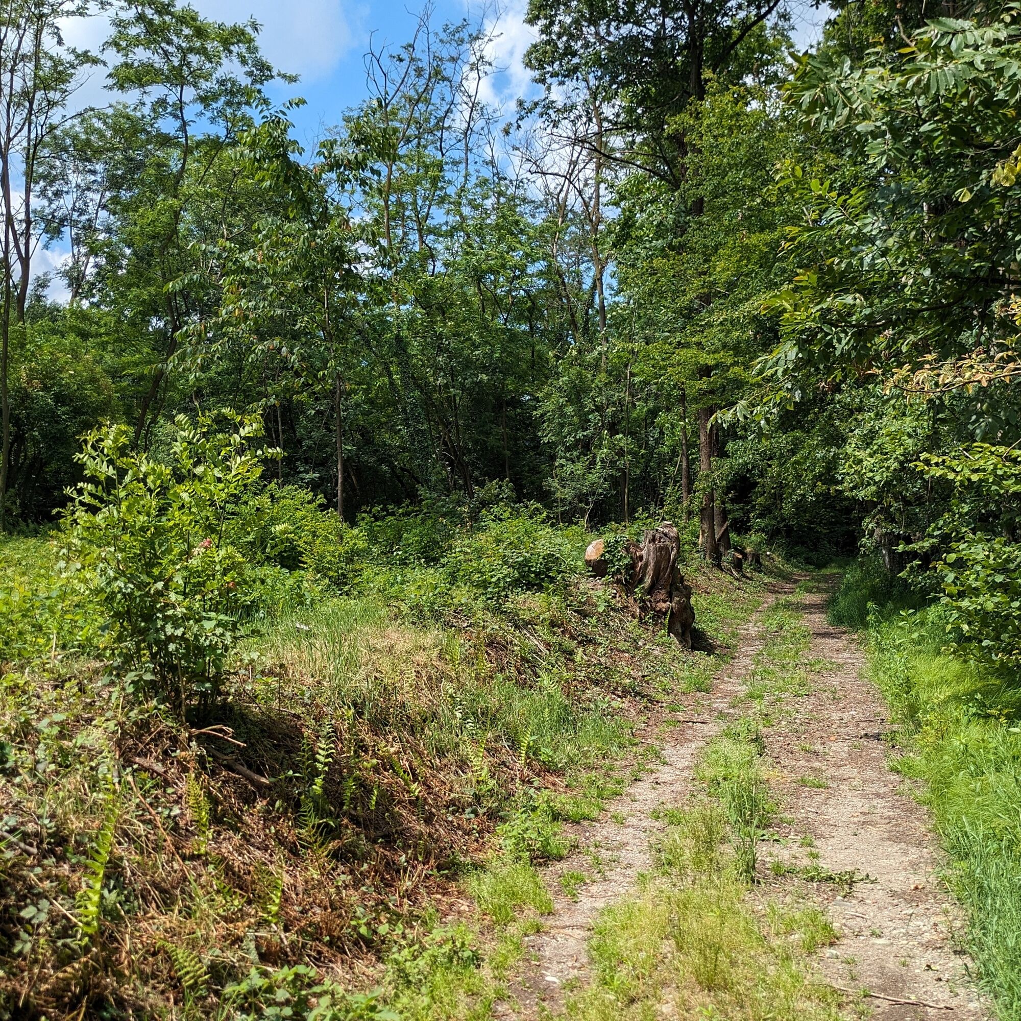
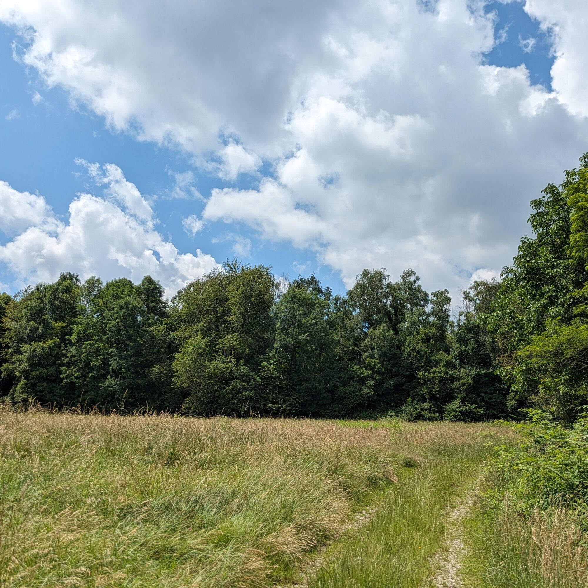
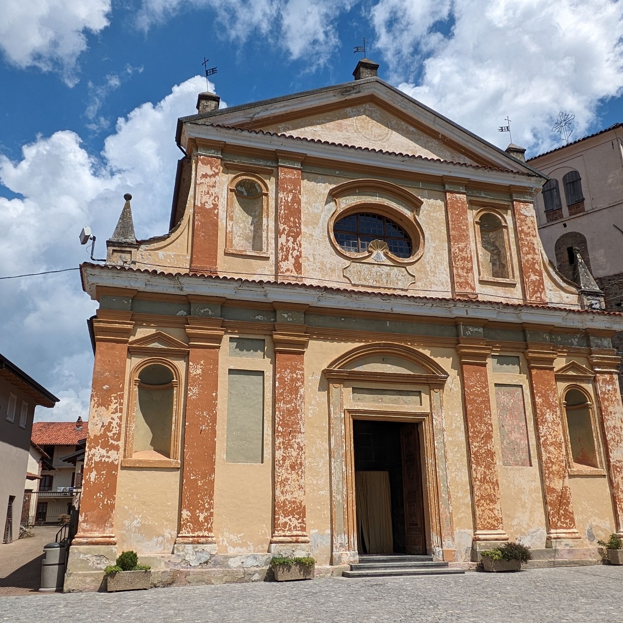
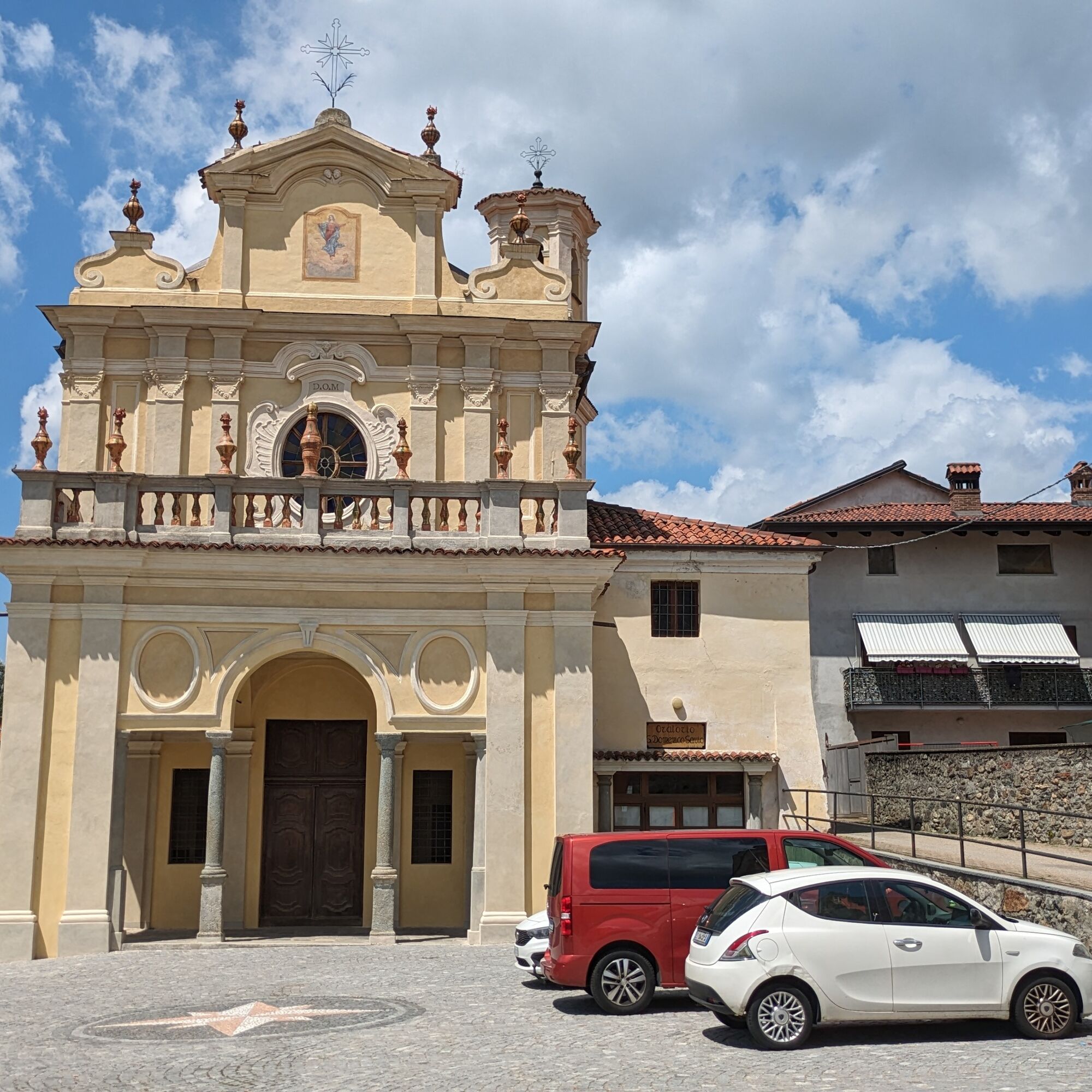
Starting in front of the town hall, you cross the center of the village of San Martino with its medieval houses and the ancient bell tower, then enter woods and hillsides on a simple dirt road. You thus...
Starting in front of the town hall, you cross the center of the village of San Martino with its medieval houses and the ancient bell tower, then enter woods and hillsides on a simple dirt road. You thus reach the village of Silva, where you connect with the main route of the Anello Morena Ovest, a thematic route about the formation of these hills by the Balteo glacier: numerous geoboards at significant points present geological phenomena with clear explanations.
Contained elevation gain (60 meters) over a length of 2.5 kilometers: a pleasant walk even on foot.
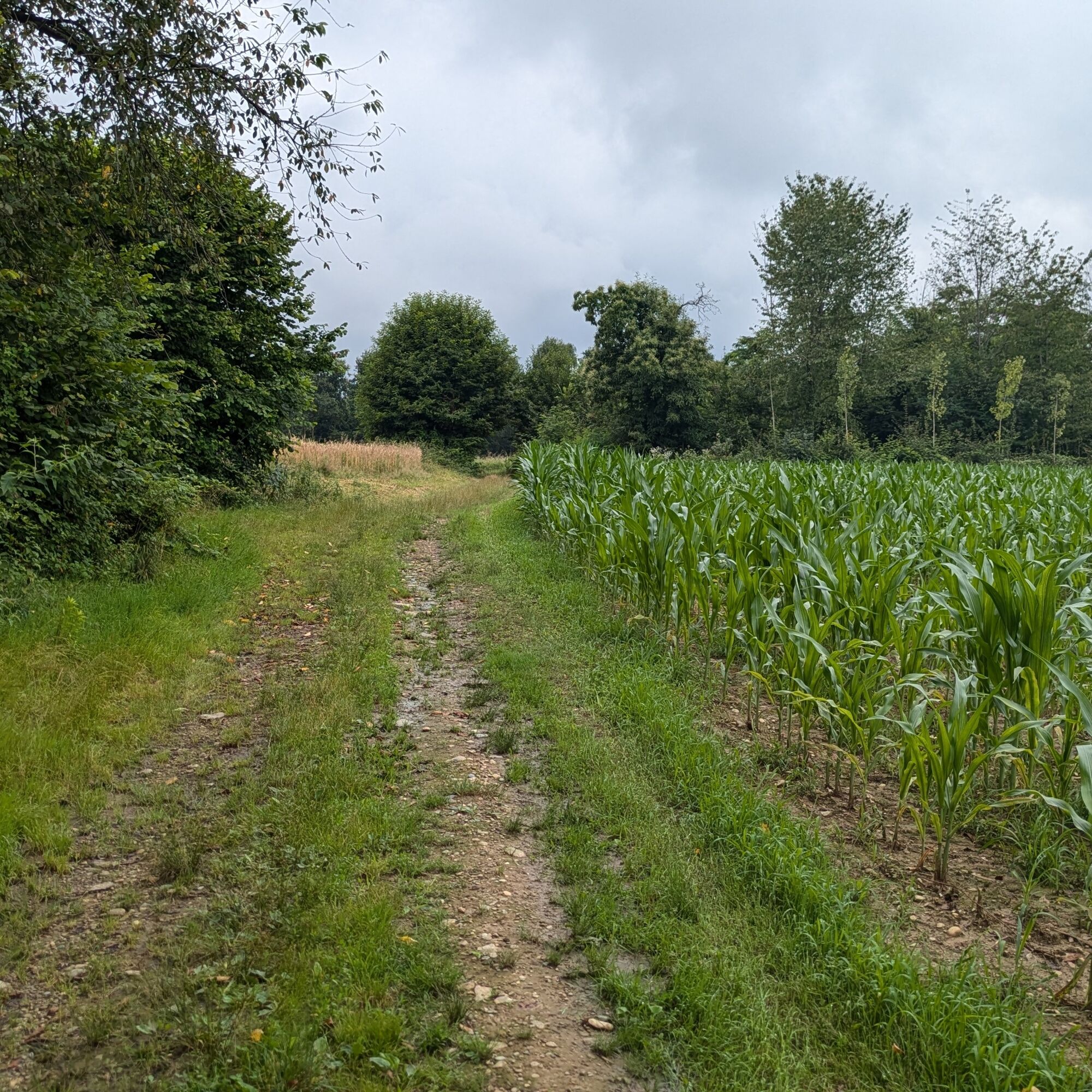
Starting in front of the town hall, take via Torreano (signpost for Silva) which ends in the main street (Arduino): turn left and follow the entire road until you reach SP 56. Cross the provincial road and take the street in front, which becomes a dirt road shortly after turning right around the playground. Then turn left and proceed on the cart track until you meet SP 56 again in Silva: crossing the road and keeping to the left leads you to the main route of the Anello Morena Ovest.
Yes
Bicycle helmet, bicycle pump, puncture repair kit, headlight and reflectors, bicycle tools, bicycle backpack (about 20 liters with rain cover).
The route crosses main roads at some points: pay maximum attention and make sure you are clearly visible.
Possibility to get water next to the parish church from a fountain or at an SMAT point at the corner of via Arduino and via Roppolo.
For those arriving from the A5 Turin-Aosta motorway, exit at Scarmagno (4 km)
San Martino Canavese is reached by the GTT bus lines 4152 Silva - Vialfre' - Ivrea and 4147 Vialfre' - Castellamonte. Go to the GTT site for information on stops and schedules.
Some parking spaces in front of the town hall and the parish church.
Large parking lot in front of the nearby cemetery.
S1
For more information about the route: morenaovest.it
For all tourist information consult the website Turismo in Canavese
Before undertaking any hike, it is advisable to check weather forecasts or ask for information at the local Tourist Offices.
It is good practice not to hike alone and always inform someone about your destination.
Do not litter the environment but carry waste with you, possibly picking up any left by others.
The indicated travel times are approximate and may vary depending on weather conditions and individual abilities.
Take some time to admire the historic center of San Martino
Popular tours in the neighbourhood
-
CHIVASSO Multi-stage loop of the ancient Balteo Glacier
mediumMeđugradska biciklistička staza 195,4 km -
VIALFRÉ Morena West Loop
mediumMountainbike 22,2 km -
MAZZE' Lake Candia and Masino Castle Loop
mediumVozi bicikl 44,8 km -
CALUSO Lake Candia Loop Morena West
mediumVozi bicikl 31,0 km -
IVREA Ring Ivrea - Alice Superiore
mediumMeđugradska biciklistička staza 35,0 km -
IVREA Ivrea - Viverone Route
mediumMeđugradska biciklistička staza 52,4 km -
Ring of the Ancient Balteo Glacier - stage 2
mediumMeđugradska biciklistička staza 56,8 km -
CORIO Runde Oberes Canavese Westmoräne
mediumVozi bicikl 76,4 km -
CASTELLAMONTE Sacred Valley Loop - Lower Valchiusella
mediumVozi bicikl 27,8 km -
TORRE CANAVESE Nature Route
lightPješačenje 6,71 km
bergfex Tours


Ne propustite ponude i inspiraciju za vaš sljedeći odmor
Your e-mail address has been added to the mailing list.