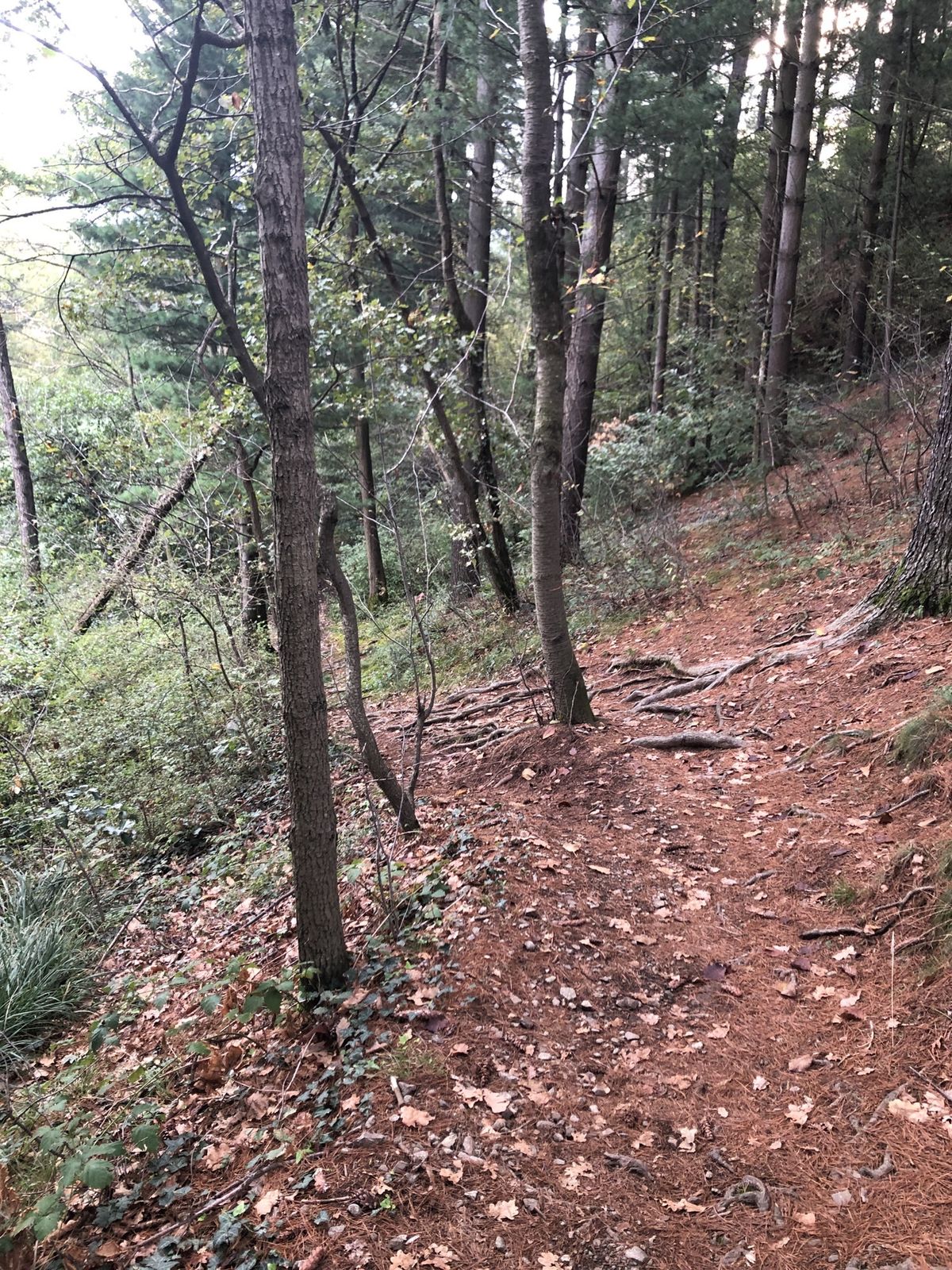
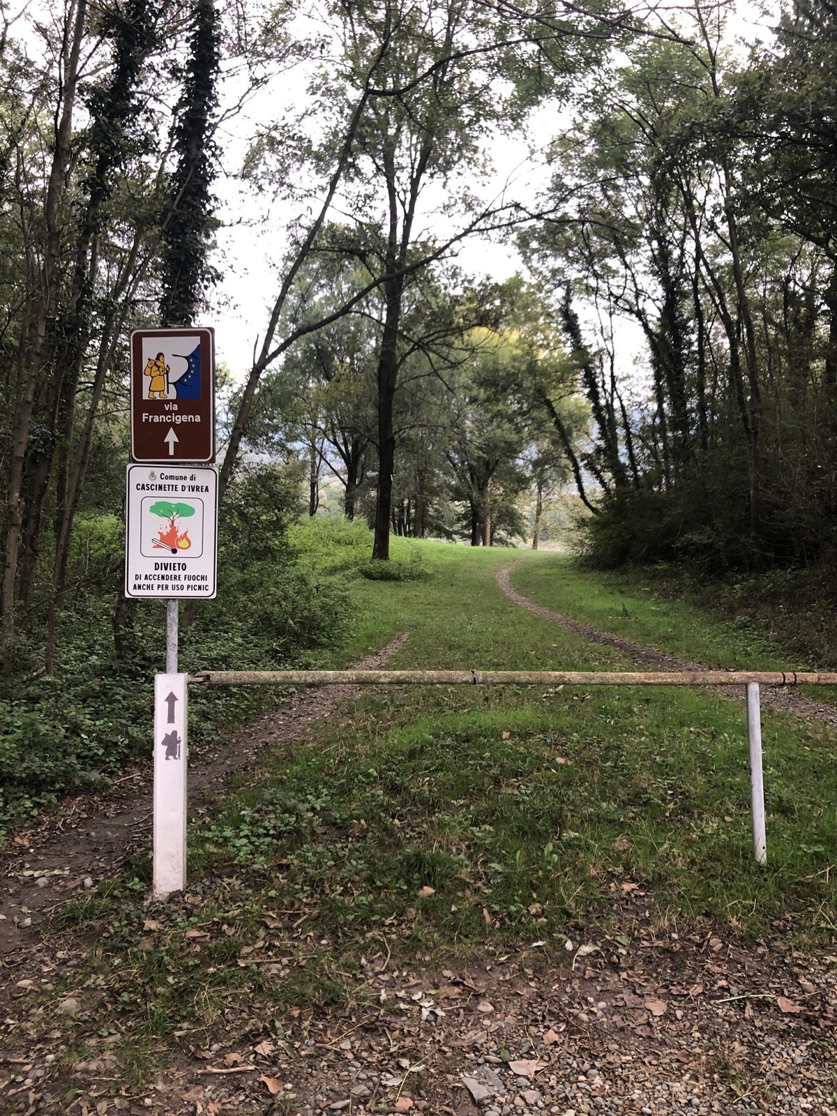
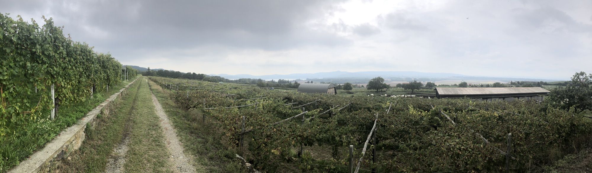
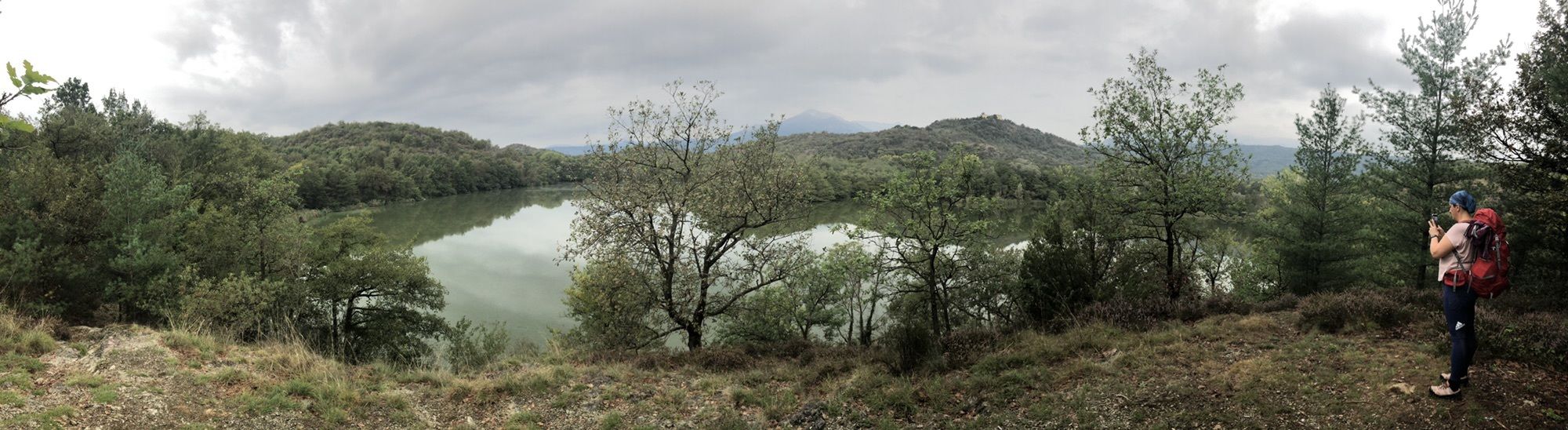
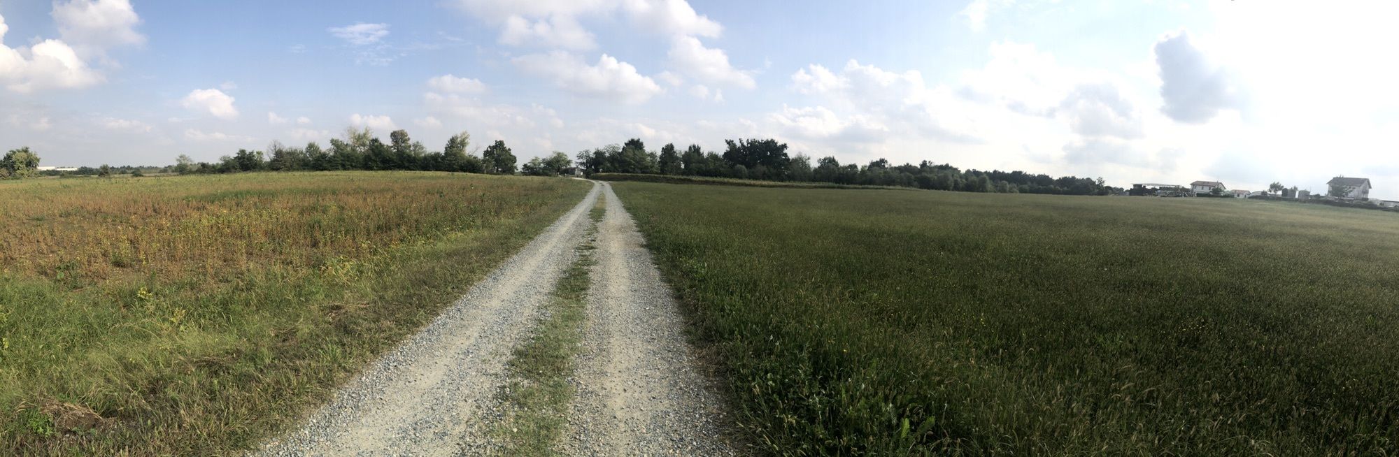
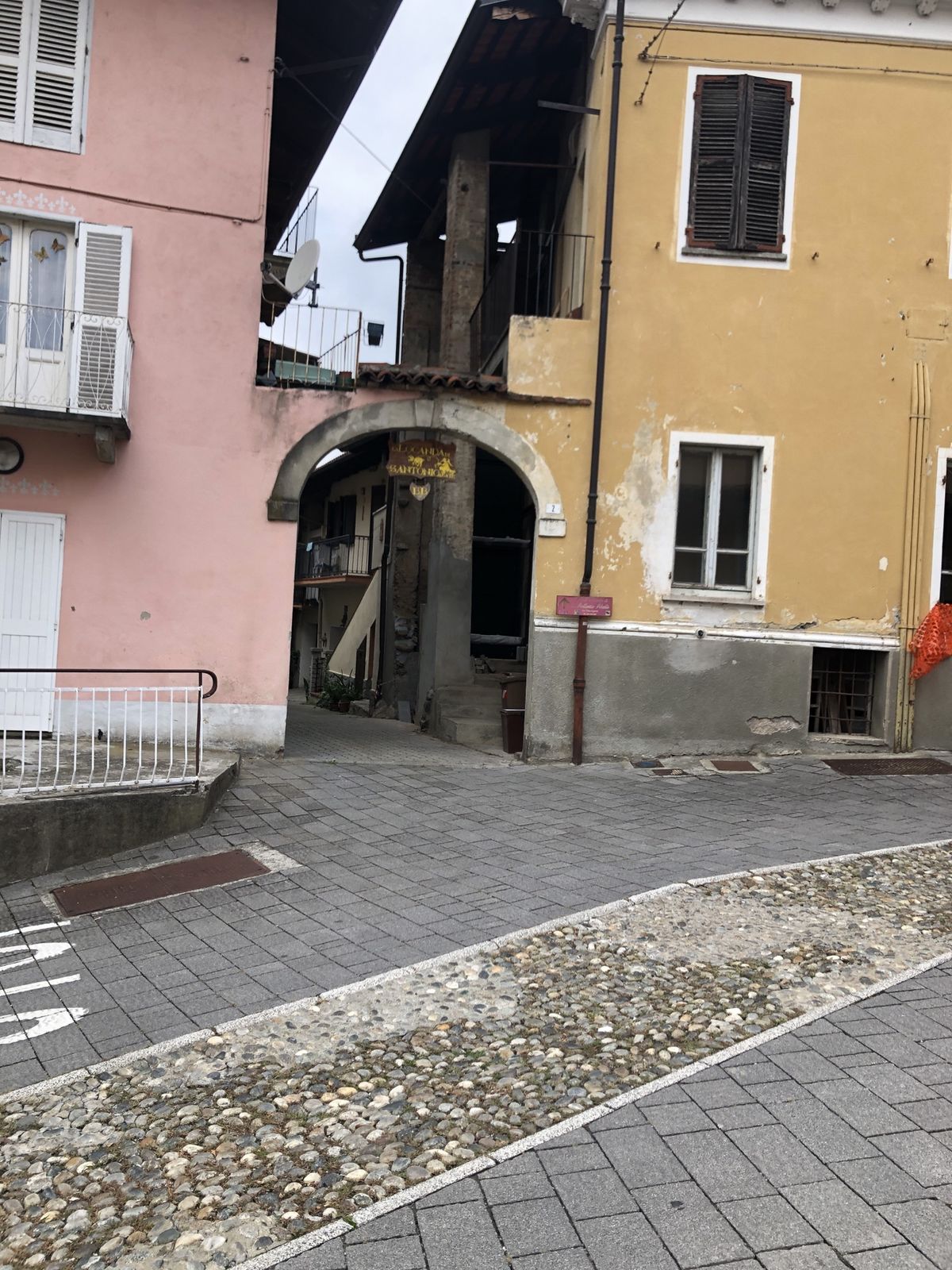
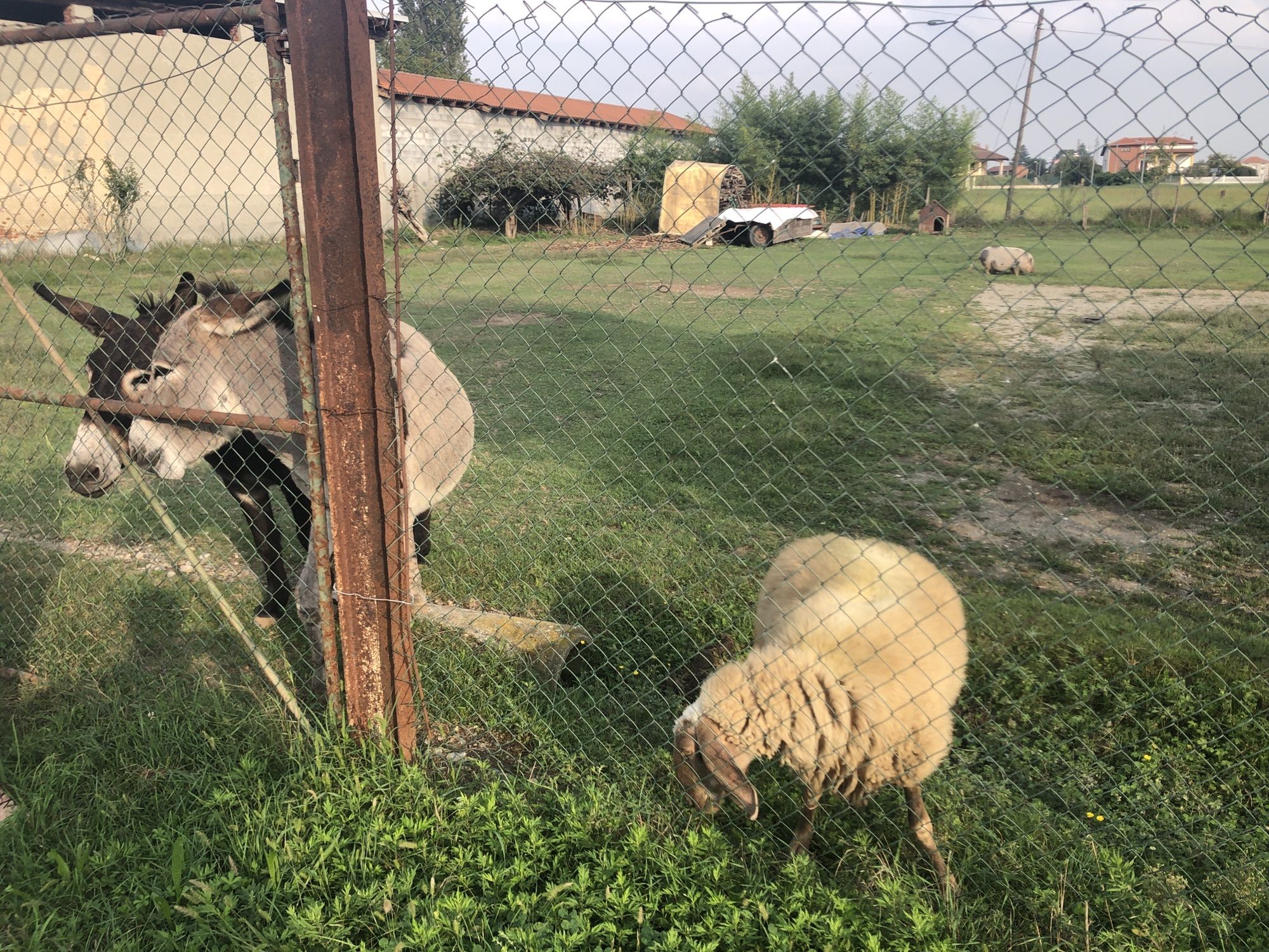
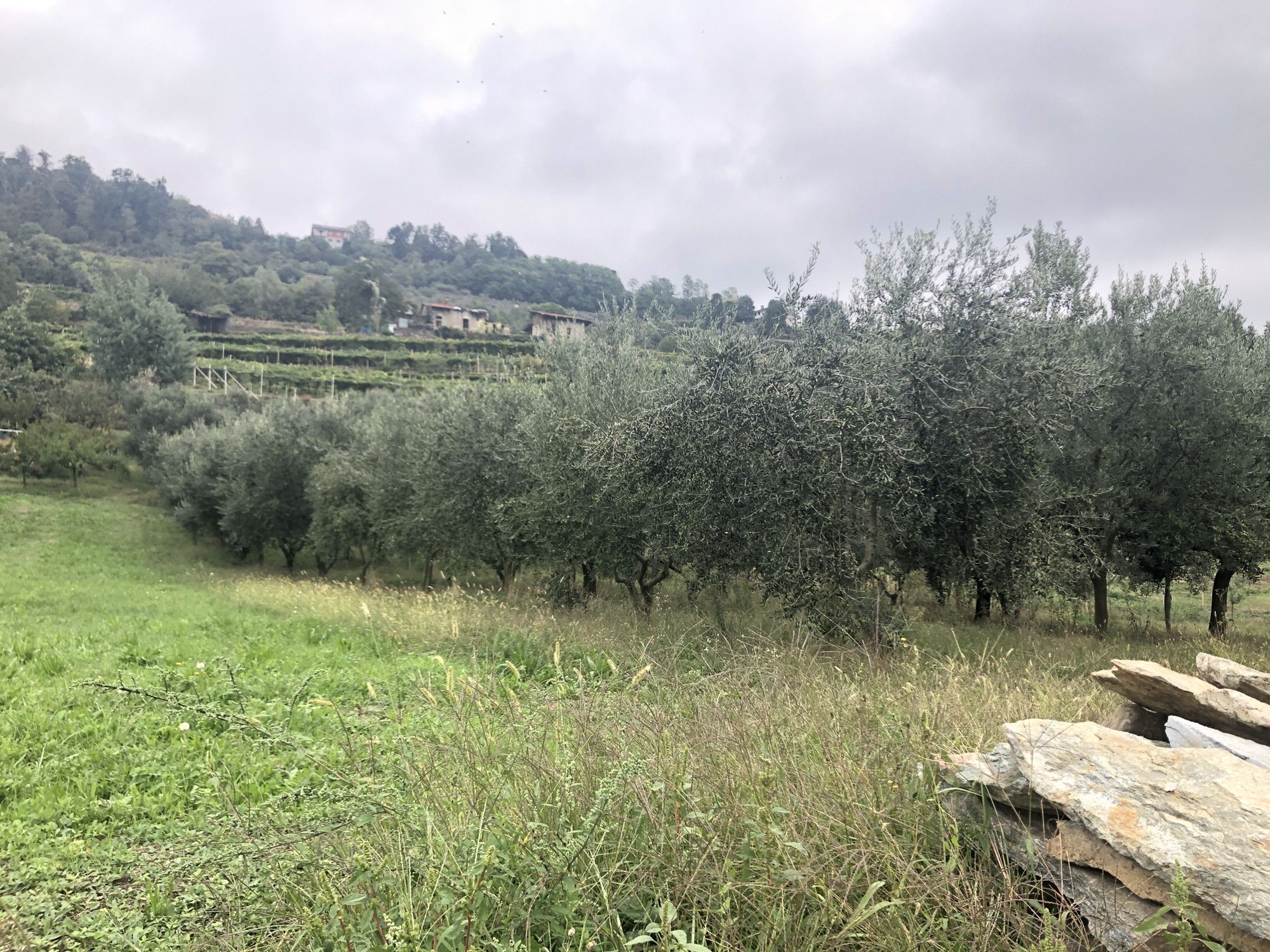
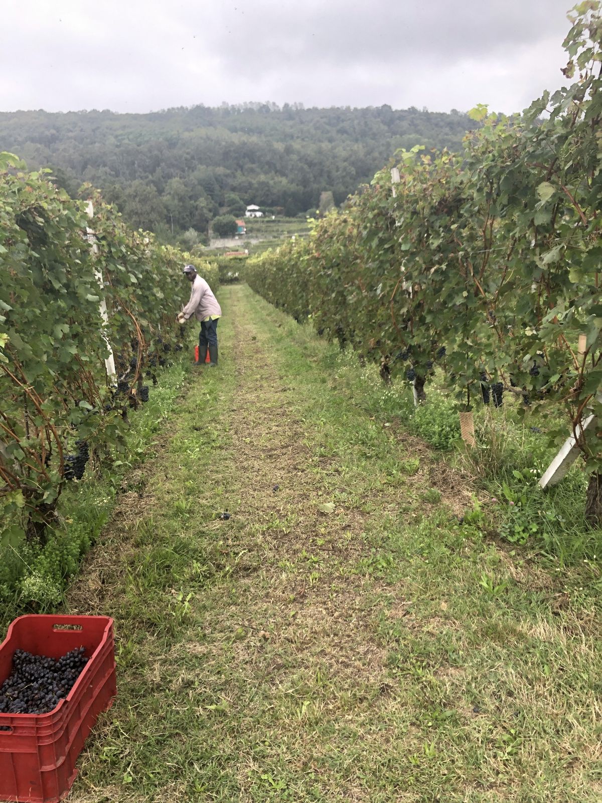
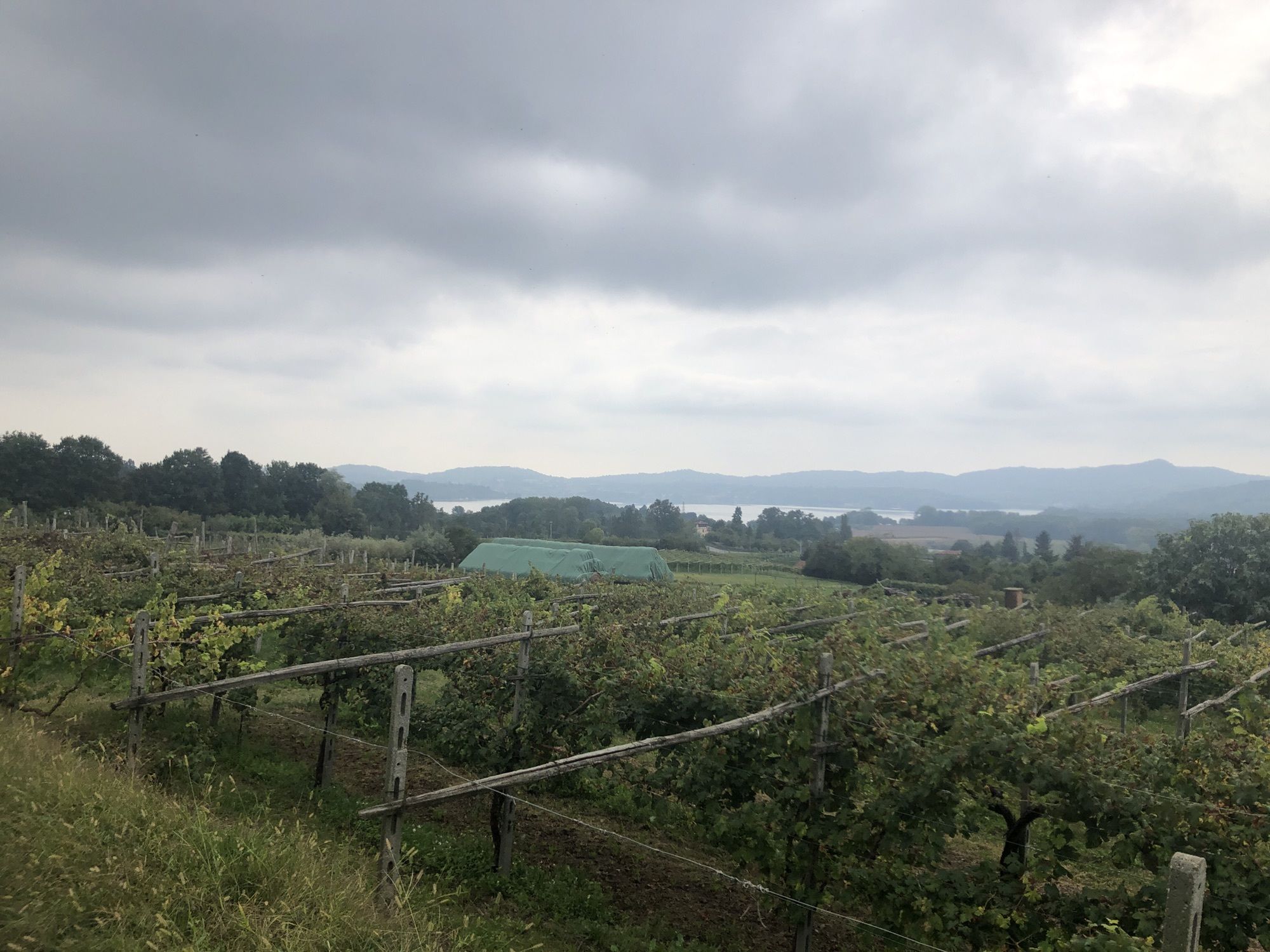
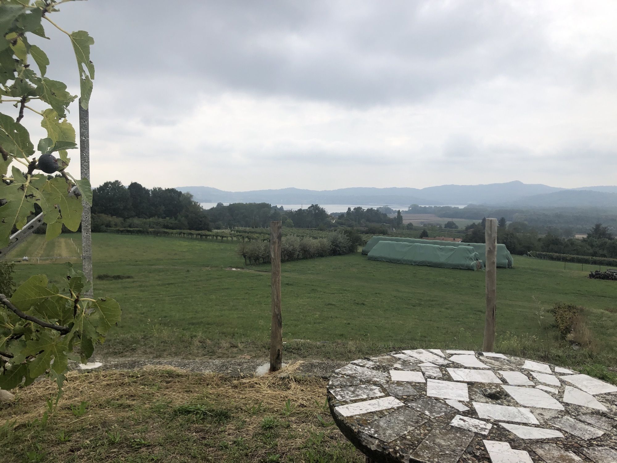
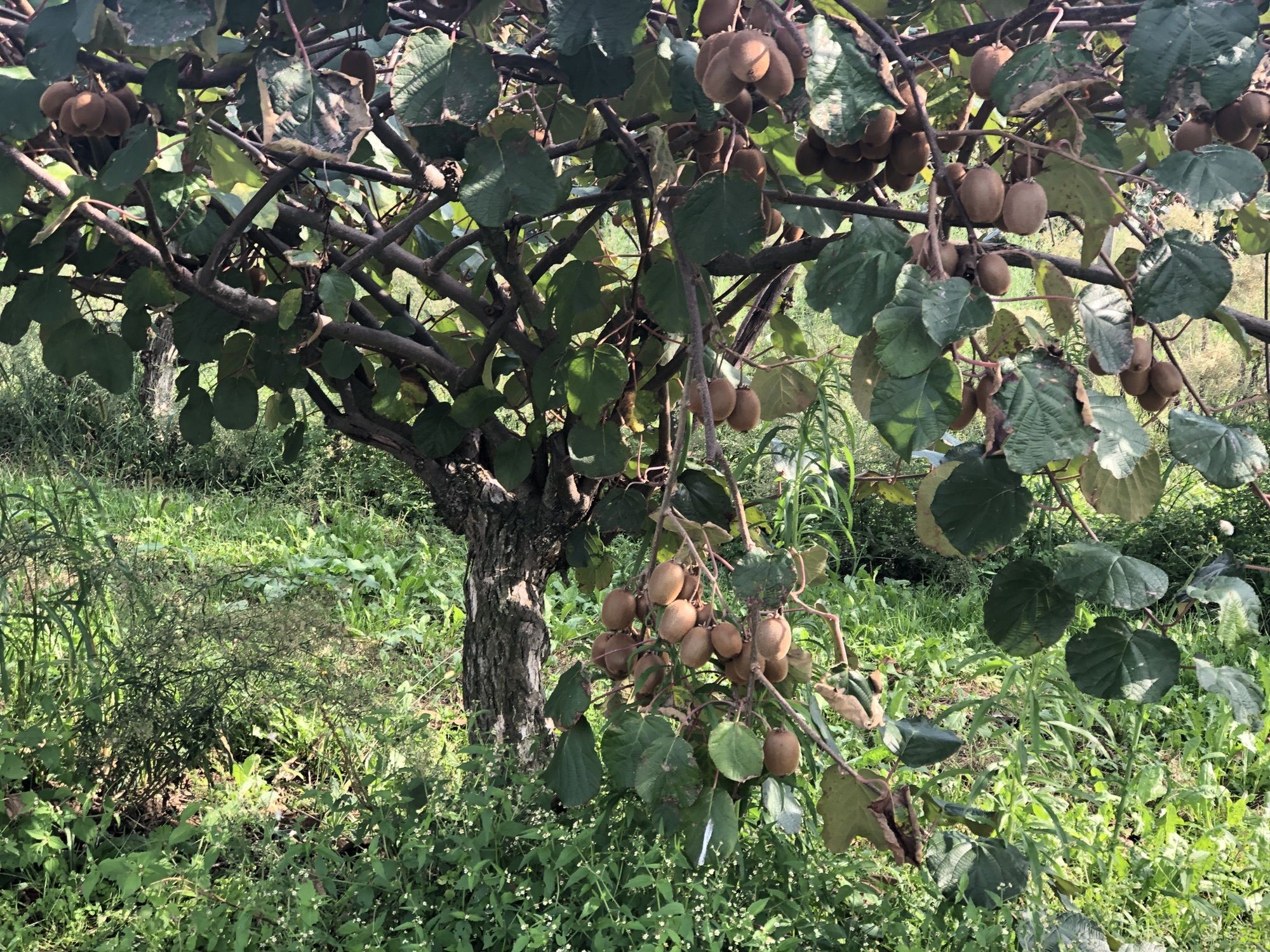
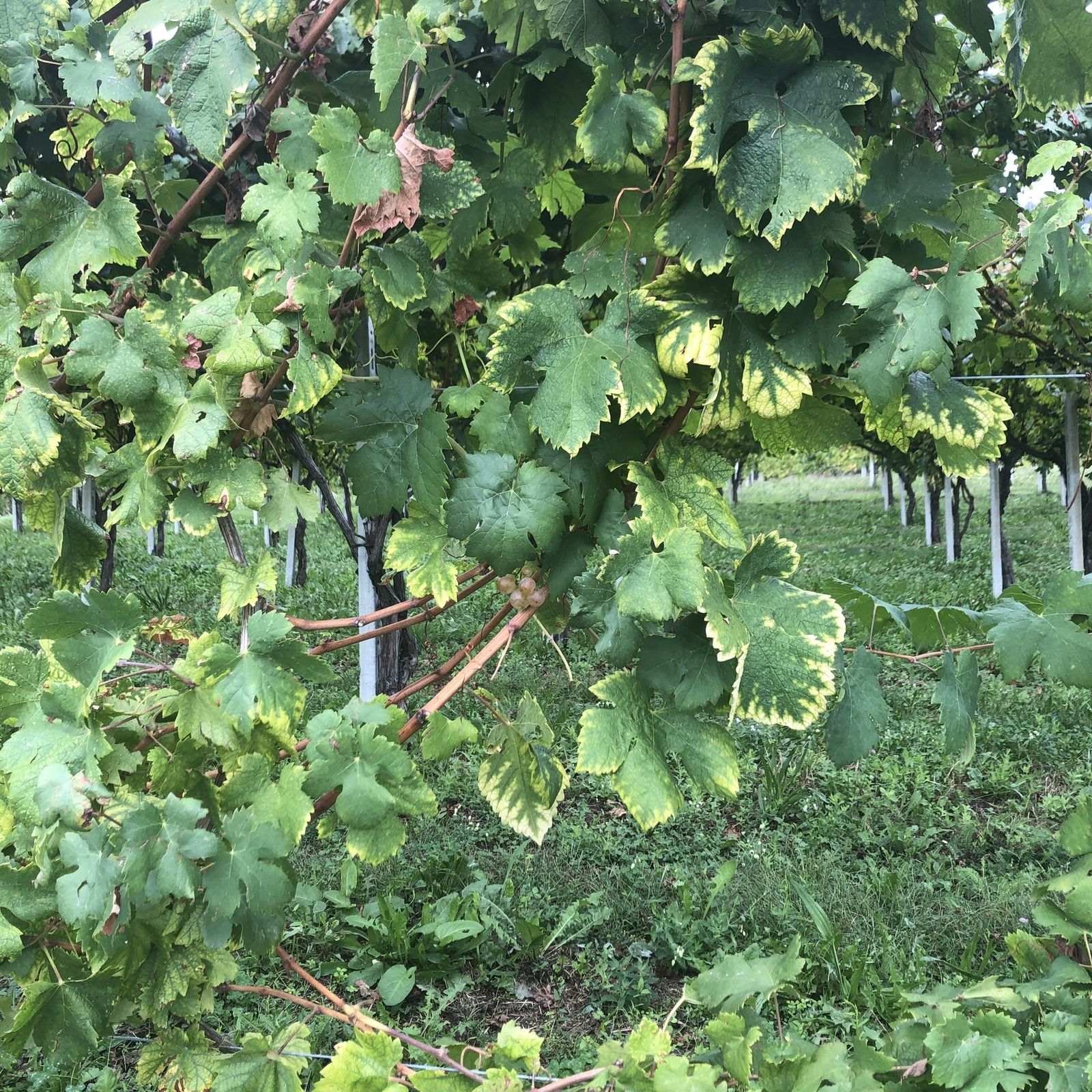
Via Francigena Etappe 5
medium
Navigate
Navigate
Get this tour on your mobile
Via Francigena Etappe 5
medium
Pješačenje
36,70
km
Scan the QR code and start navigation in the bergfex app

Hiking & Tracking


Distance
36,70
km
Duration
07:22
h
Ascent
376
m
Sea level
183 -
359
m
Track download
Via Francigena Etappe 5
medium
Pješačenje
36,70
km


Route
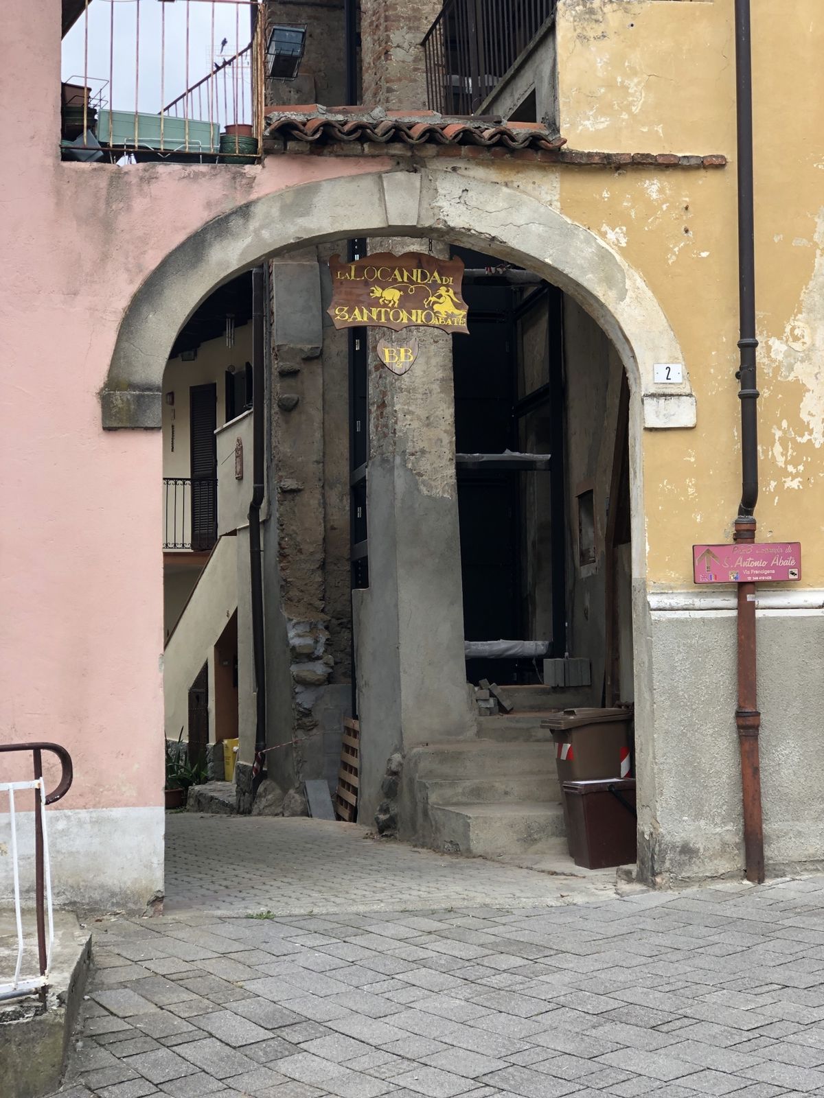
Chiesa di Santa Croce
(245 m)
Place of worship
0,9 km
Monbello
(266 m)
Summit
4,4 km
Chiesa parrocchiale di San Genesio martire
(241 m)
Place of worship
12,7 km
Chiesa Parrocchiale dei Santi Pietro e Lorenzo
(304 m)
Place of worship
15,7 km
Chiesa di San Rocco
(310 m)
Place of worship
21,1 km
Oratorio di San Rocco
(272 m)
Place of worship
24,7 km
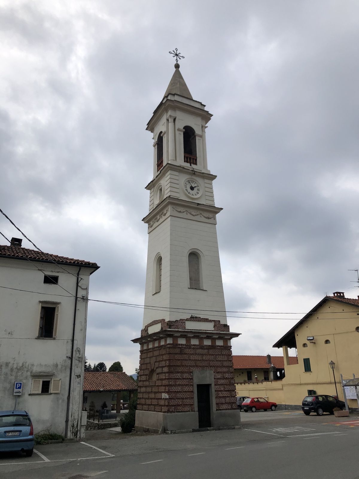
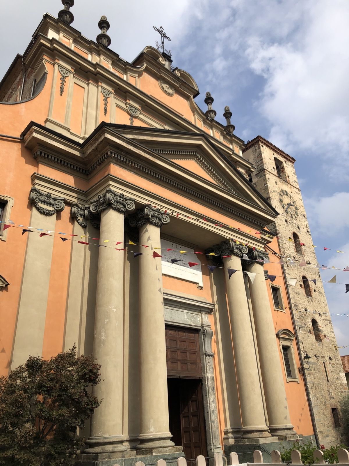
Duomo di Sant'Agata
(182 m)
Place of worship
36,7 km
Route
Via Francigena Etappe 5
medium
Pješačenje
36,70
km
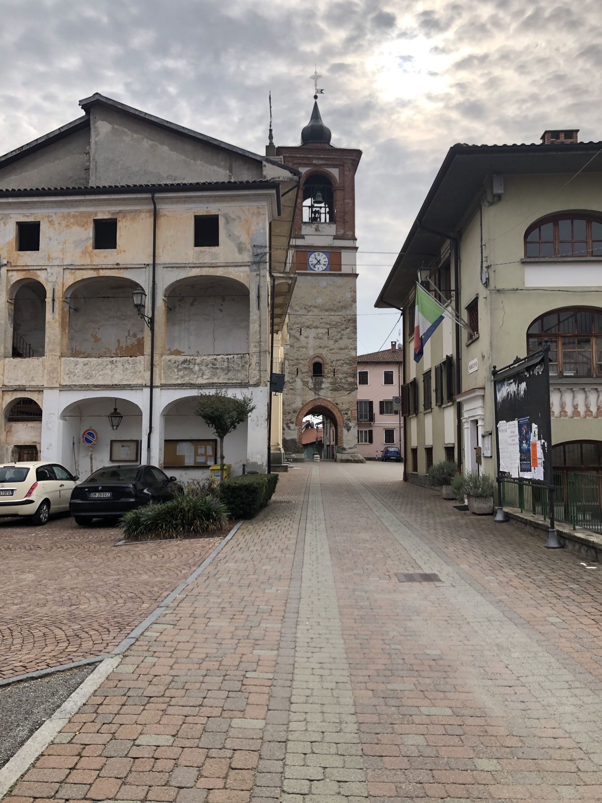
Porta Torino
(245 m)
Corridor/terrain
0,1 km
Borghetto
(248 m)
Neighbourhood
0,6 km
Chiesa di Santa Croce
(245 m)
Place of worship
0,9 km
Chiesa di San Ulderico
(248 m)
Place of worship
1,0 km
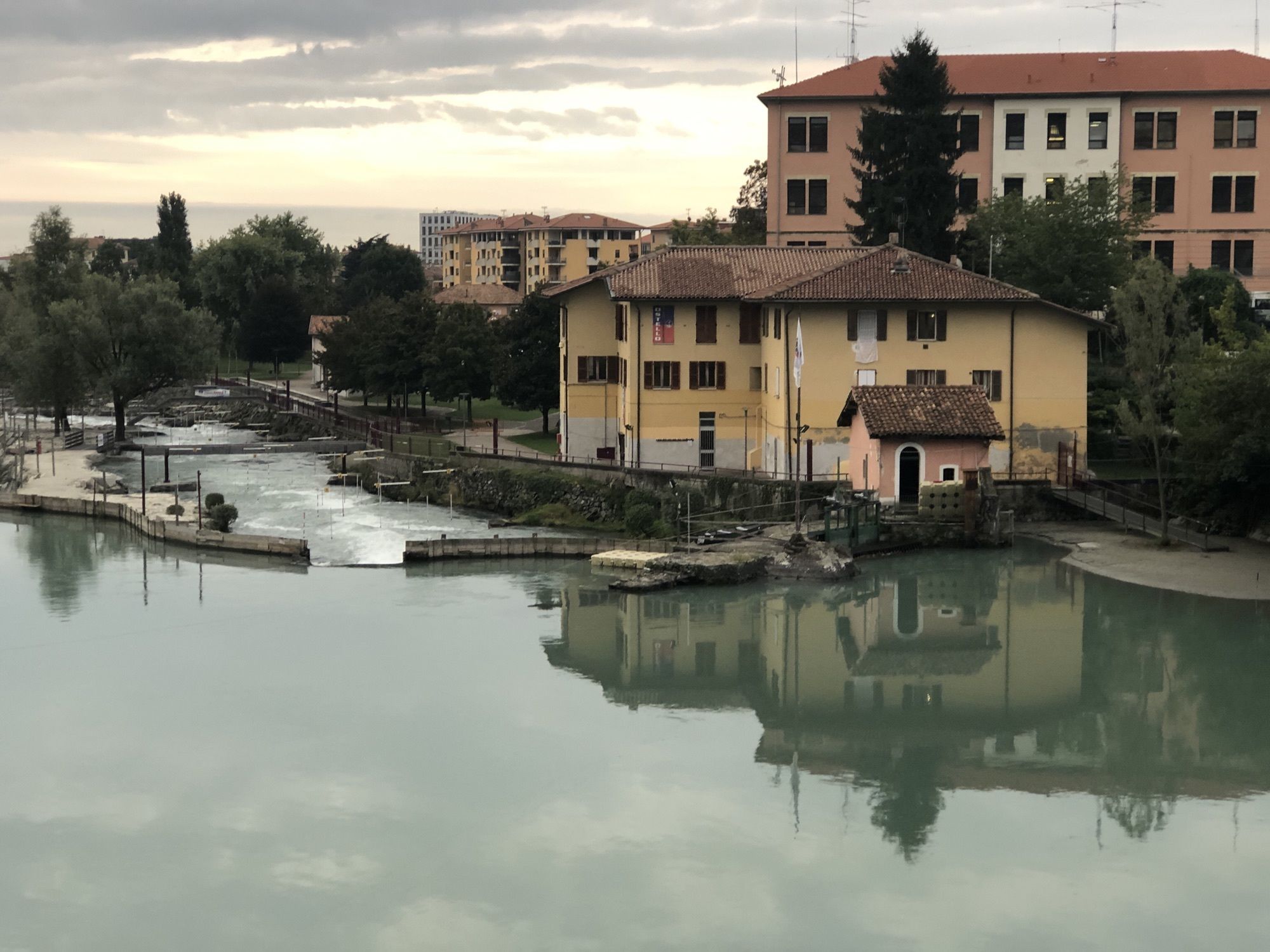
Ivrea
(252 m)
City
1,1 km
Chiesa del Santissimo Salvatore
(246 m)
Place of worship
1,2 km
Porta Vercelli
(244 m)
Corridor/terrain
1,4 km
Chiesa di San Lorenzo
(243 m)
Place of worship
1,8 km
San Lorenzo
(242 m)
Neighbourhood
2,0 km
Fiorana
(236 m)
Neighbourhood
2,5 km
Cascine Quaccia
(240 m)
Settlement
2,9 km
Cascine Sati
(240 m)
Settlement
3,0 km
Cascinette d'Ivrea
(250 m)
Village
3,8 km
Monbello
(266 m)
Summit
4,4 km
Case Rivere
(245 m)
Settlement
5,0 km
Burolo
(277 m)
Village
7,8 km
Cappella di San Rocco
(248 m)
Place of worship
9,1 km
Bollengo
(249 m)
Village
9,2 km
Palazzo Canavese
(241 m)
Village
12,5 km
Chiesa parrocchiale di San Genesio martire
(241 m)
Place of worship
12,7 km
Chiesa dell'Immacolata
(304 m)
Place of worship
15,5 km
Bistrot Del Campanile
(307 m)
Restaurant
15,5 km
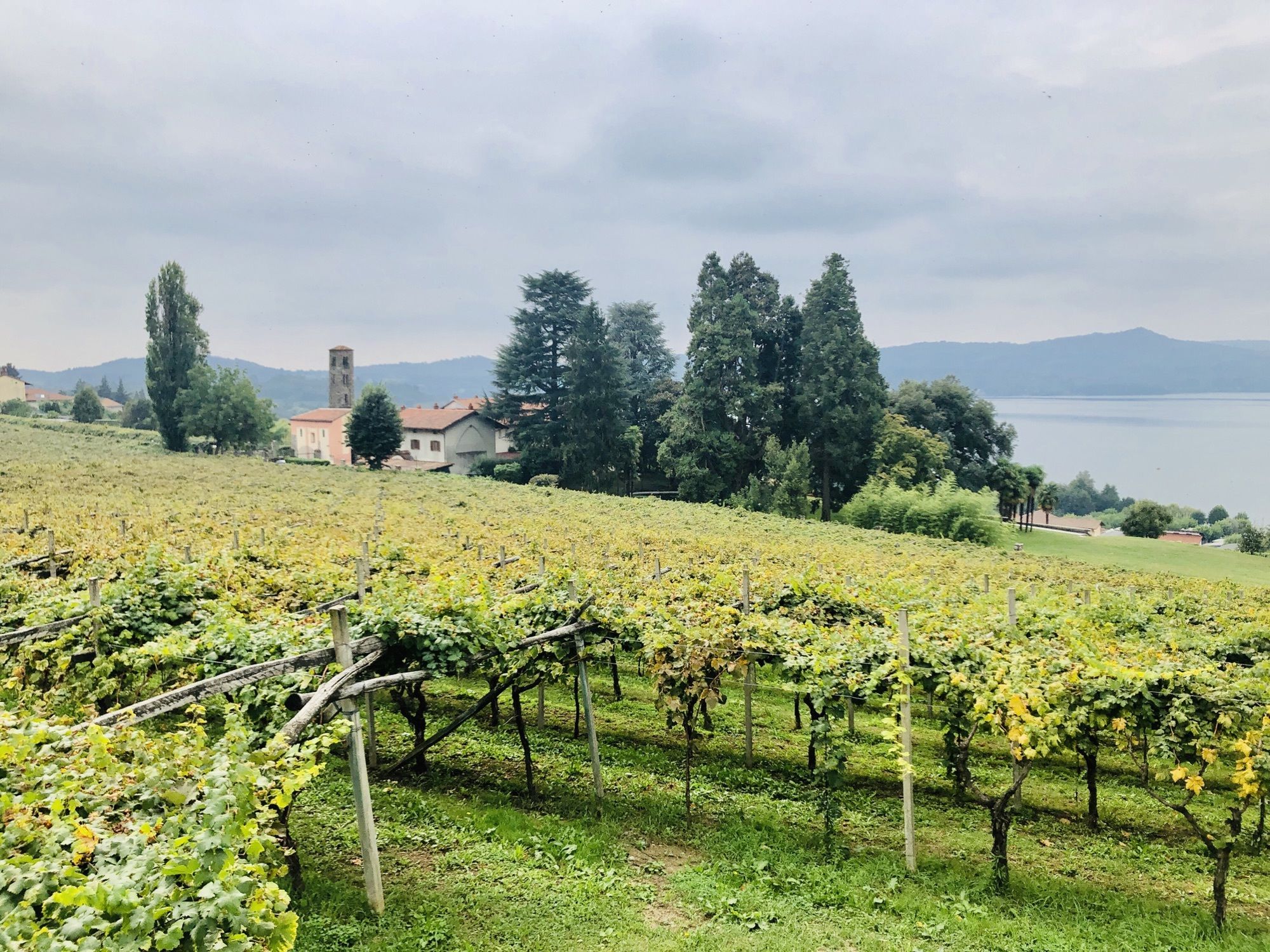
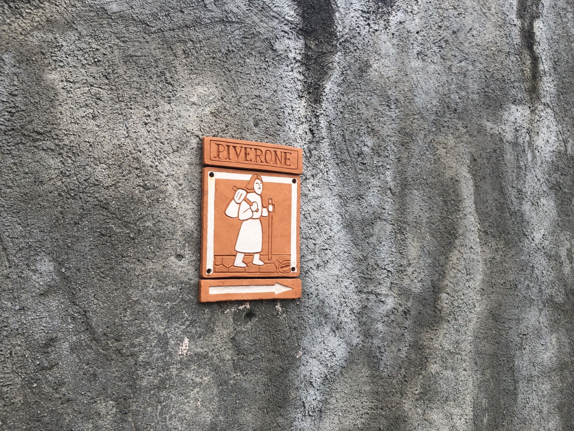
Piverone
(273 m)
Village
15,5 km
Chiesa Parrocchiale dei Santi Pietro e Lorenzo
(304 m)
Place of worship
15,7 km
Oratorio dei Santi Stefano e Defendente
(274 m)
Place of worship
20,2 km
Oratorio di San Sebastiano
(281 m)
Place of worship
20,4 km
Viverone
(281 m)
Village
20,5 km
Parco Giochi Agorà
(286 m)
Playground
20,6 km
Chiesa di San Rocco
(310 m)
Place of worship
21,1 km
Chiesa di Santa Maria della Cura
(301 m)
Place of worship
21,4 km
Chiesa della Beata Emilia
(308 m)
Place of worship
21,9 km
Roppolo
(311 m)
Village
22,2 km
Chiesa parrocchiale della Madonna del Rosario
(309 m)
Place of worship
22,2 km
Castello
(356 m)
Village
22,2 km
Ristorante Tarello
(310 m)
Restaurant
22,2 km
Oratorio di San Rocco
(272 m)
Place of worship
24,7 km
Osteria dell'Oca Bianca
(270 m)
Restaurant
24,9 km
Cavaglià
(271 m)
Village
24,9 km
Chiesa parrocchiale di San Michele Arcangelo
(271 m)
Place of worship
25,0 km
Chiesa di San Francesco
(270 m)
Place of worship
25,1 km
Tre Scalini
(268 m)
Restaurant
25,3 km
La Plaza
(267 m)
Restaurant
25,7 km
Santhià
(182 m)
City
36,5 km
Duomo di Sant'Agata
(182 m)
Place of worship
36,7 km


Valuations
1 Comment
Herve Andeler
08. srp.. 2025
Moyen
Popular tours in the neighbourhood
-
Ring of the ancient Balteo Glacier
mediumMeđugradska biciklistička staza 195,4 km -
MAZZE' Anello Lago di Candia e Castello di Masino
mediumVozi bicikl 44,8 km -
CALUSO Anello Lago di Candia Morena Ovest
mediumVozi bicikl 31,0 km -
IVREA Anello Ivrea - Viverone
mediumMeđugradska biciklistička staza 52,4 km -
Chiaverano - Church of Santo Stefano di Sessano
mediumMountainbike 27,4 km -
Ballerina Lands - In Search of Rabbit Lake
lightPješačenje 5,35 km -
MAZZE' Anello Mazzè - Strambino
mediumMeđugradska biciklistička staza 41,3 km -
Ring of the Ancient Baltese Glacier (stage 3)
mediumMeđugradska biciklistička staza 35,1 km -
CHIAVERANO Anello sulla Serra d'Ivrea
mediumPješačenje 14,5 km -
Ring of the Ancient Balteo Glacier (stage 4)
mediumMeđugradska biciklistička staza 51,0 km
bergfex Tours

Over 550.000 tour suggestions, detailed maps and an intuitive route planner make the app a must-have for all nature enthusiasts.

Ne propustite ponude i inspiraciju za vaš sljedeći odmor
Subscribe to the newsletter
Error
An error has occurred. Please try again.
Thank you for your registration
Your e-mail address has been added to the mailing list.
Tours throughout Europe
Austrija
Švicarska
Njemačka
Italija
Slovenija
Francuska
Nizozemska
Belgija
Poljska
Lihtenštajn
Češka
Slovačka
Španija
Hrvatska
Bosna i Hercegovina
Luksemburg
Andora
Portugal
Island
Ujedinjeno Kraljevstvo
Irska
Grčka
Albanija
Sjeverna Makedonija
Malta
Norveška
Crna Gora
Moldova
Kosovo
Mađarska
San Marino
Rumunjska
Estonija
Latvija
Bjelorusija
Cipar
Litva
Srbija
Bugarska
Monako
Danska
Švedska
Finska