© © Maison du Parc du Luberon

© © Maison du Parc du Luberon

© © Maison du Parc du Luberon


- Kratak opis
-
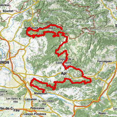
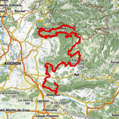
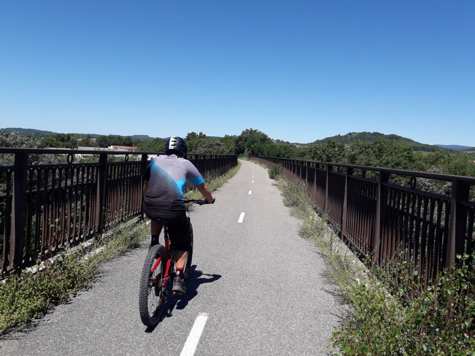
Itinerary linking the town of Apt and the village of Gargas, or vice versa (signposted in both directions), via the Plan d'Eau de La Riaille and the Calavon cycle route (EV8).
- Teškoća
-
lagano
- Vrednovanje
-
- Wegverlauf
-
AptRestaurant le pied dans l'eau1,6 kmLa Paillote1,8 kmGargas4,3 km
- Beste Jahreszeit
-
sijveljožutrasvilipsrpkolrujlisstupro
- Höchster Punkt
- 281 m
- Zielpunkt
-
Office de tourisme (Apt) ou devant La Poste (Gargas)
- Höhenprofil
-
 © outdooractive.com

- Autor
-
Die Tour MTB no.63 - Apt_Gargas connection wird von outdooractive.com bereitgestellt.
GPS Downloads


Weitere Touren in den Regionen
-
Vaucluse
99
-
Pays d'Apt-Luberon
69